Jackie's Ridge Road
Total Miles
2.1
Technical Rating
Best Time
Spring, Fall
Trail Type
Full-Width Road
Accessible By
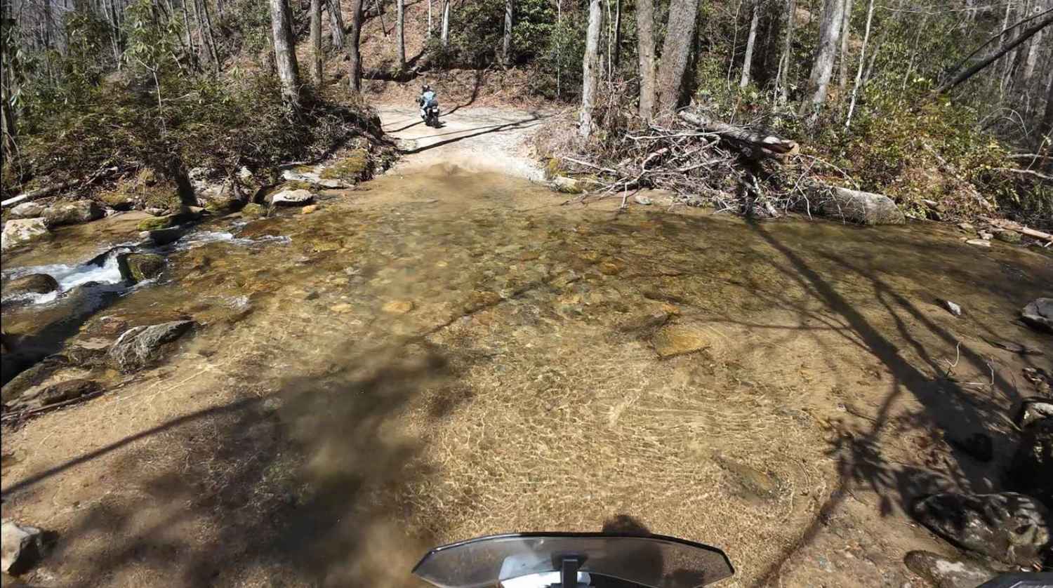
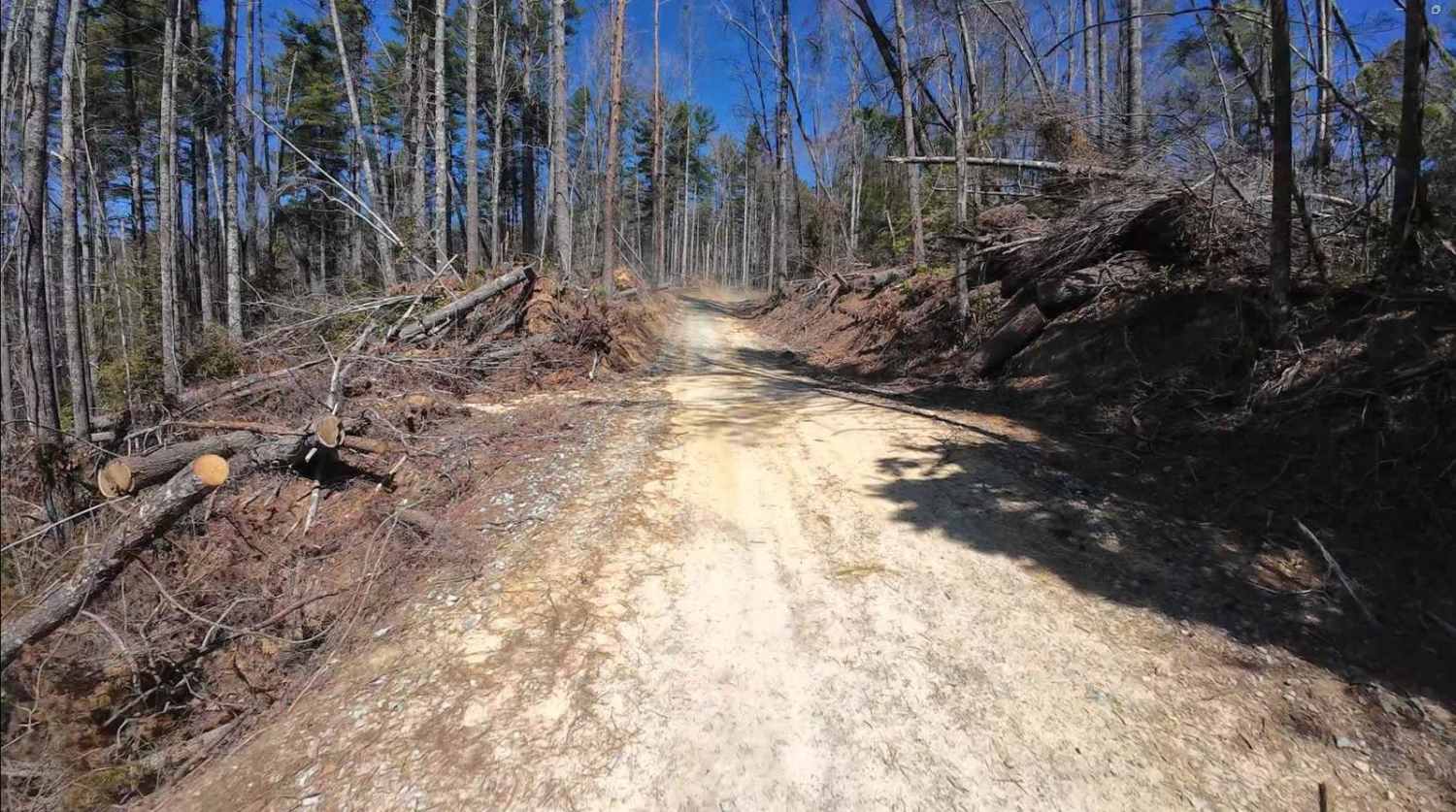
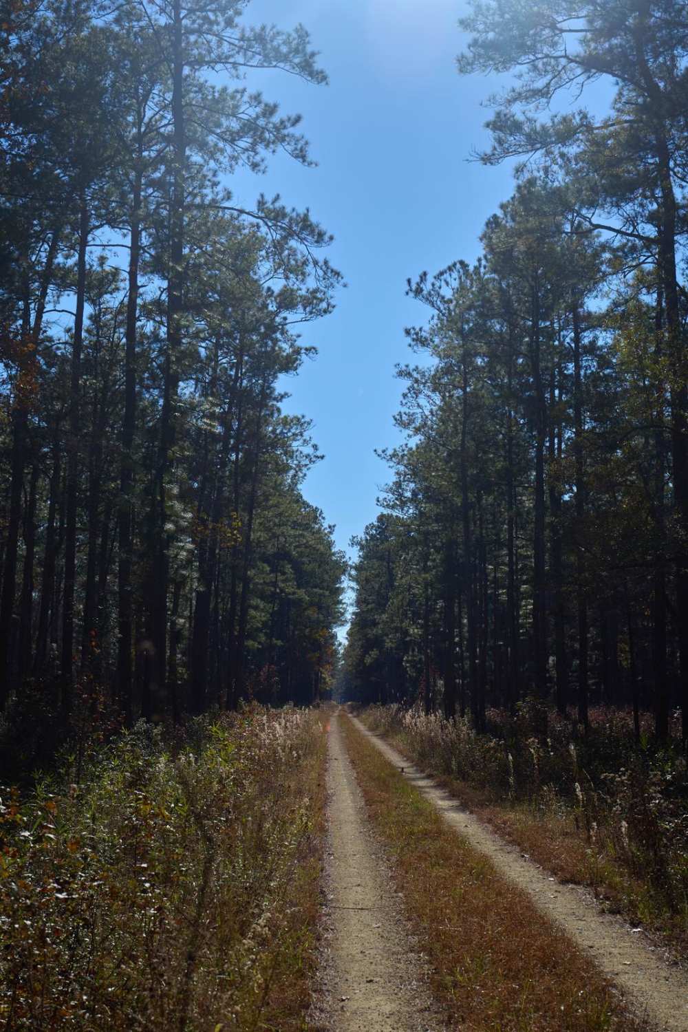
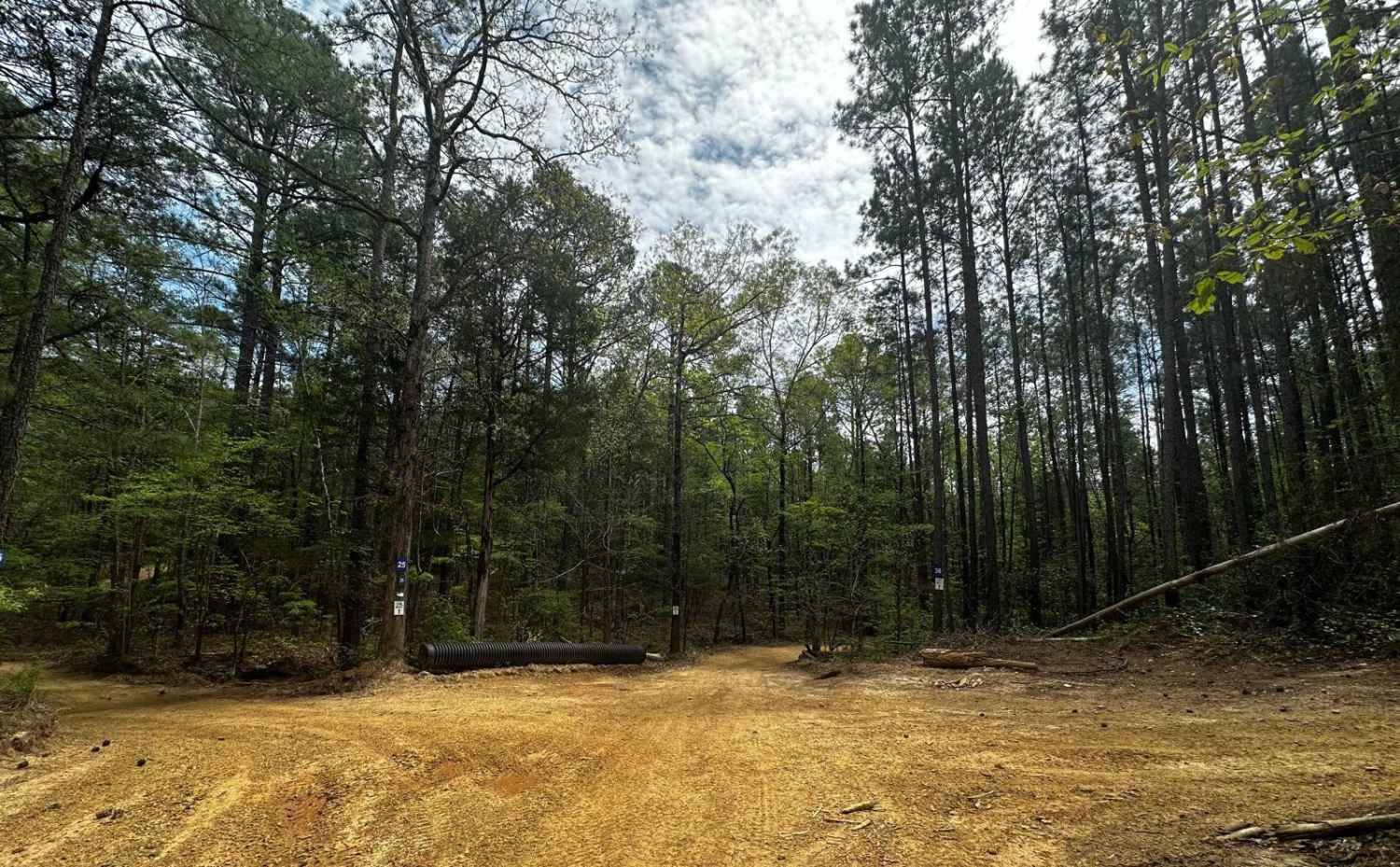
Trail Overview
Canebrake Road is a 2.1-mile-long gravel road the road cutting through the Jocassee Gorges and Laurel Fork Heritage Wildlife Management areas. The road is generally open to motorized vehicles from September 15 through January 2 and from March 20th through the end of April. The road is open to plated vehicles as well as street-legal UTVs. As an alternative to Horse Pasture Road, adventurers can elect to join Canebrake Road with Jackie's Ridge Road and Dawkins Flat Road for an approximately 10-mile bypass, crossing the Foothills Trail and Laurel Fork Creek.
Photos of Jackie's Ridge Road
Difficulty
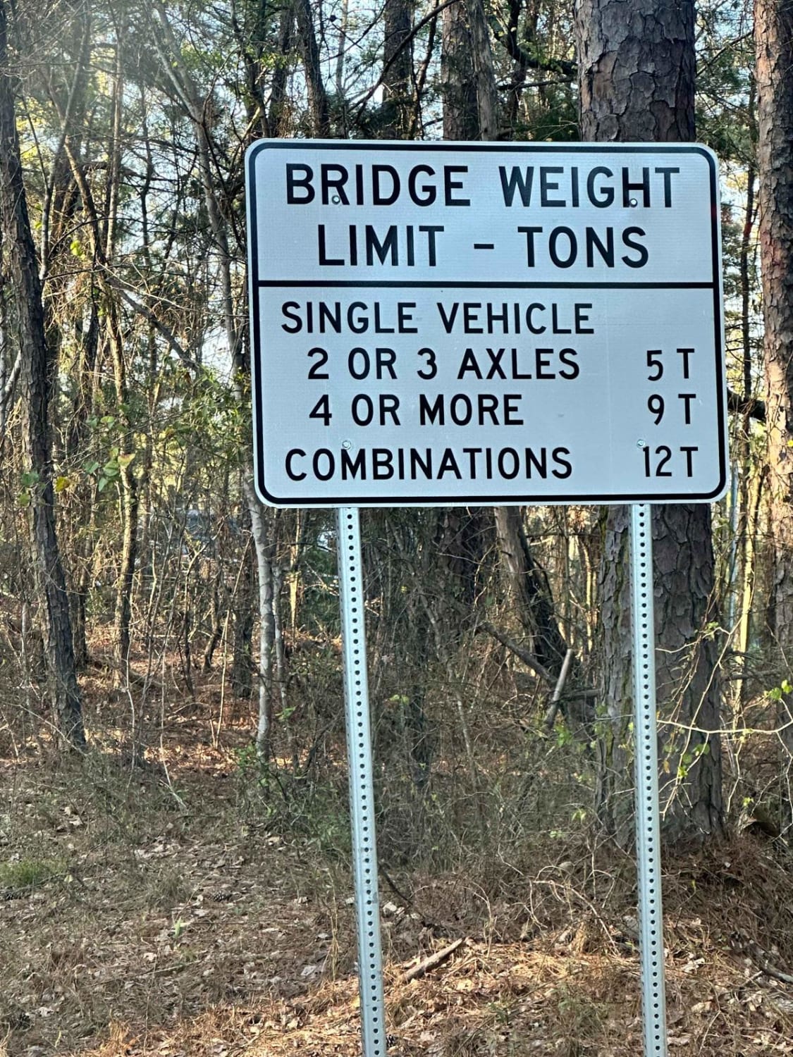
Two-way gravel road, steep at times, low clearance vehicles will have difficulty and may not be able to navigate this road completely. Rain and wet conditions can increase the difficulty of this road at times.
Jackie's Ridge Road can be accessed by the following ride types:
- High-Clearance 4x4
- SUV
- SxS (60")
Jackie's Ridge Road Map
Popular Trails
Wardfield B - FSR212B
Little North Carolina Road
Treadwell Road
The onX Offroad Difference
onX Offroad combines trail photos, descriptions, difficulty ratings, width restrictions, seasonality, and more in a user-friendly interface. Available on all devices, with offline access and full compatibility with CarPlay and Android Auto. Discover what you’re missing today!