Trail Overview
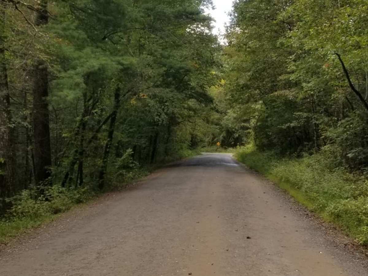
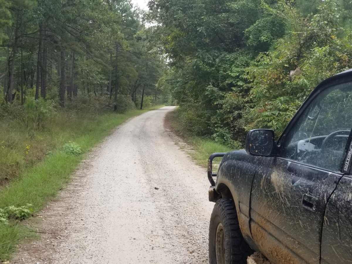
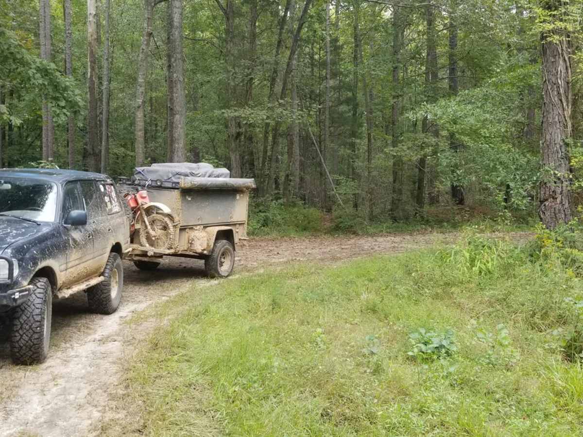
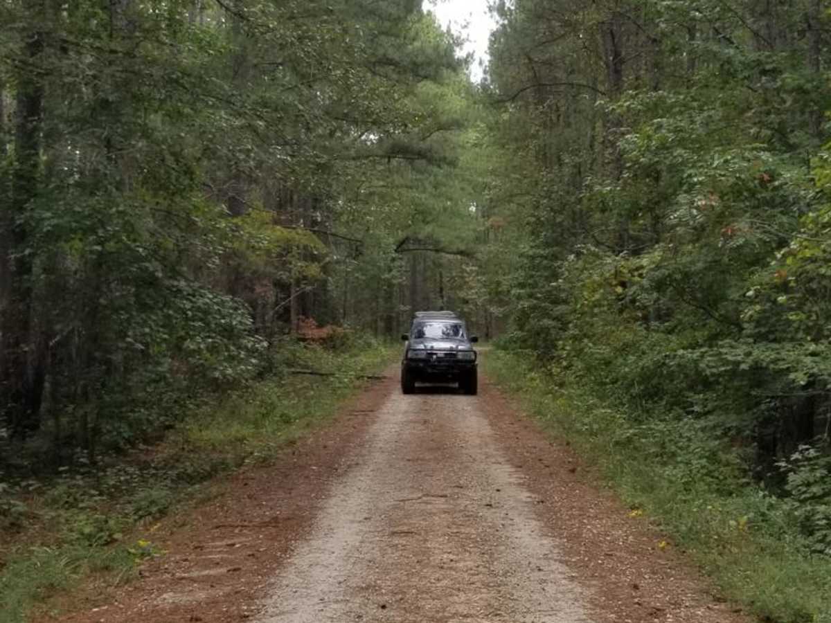
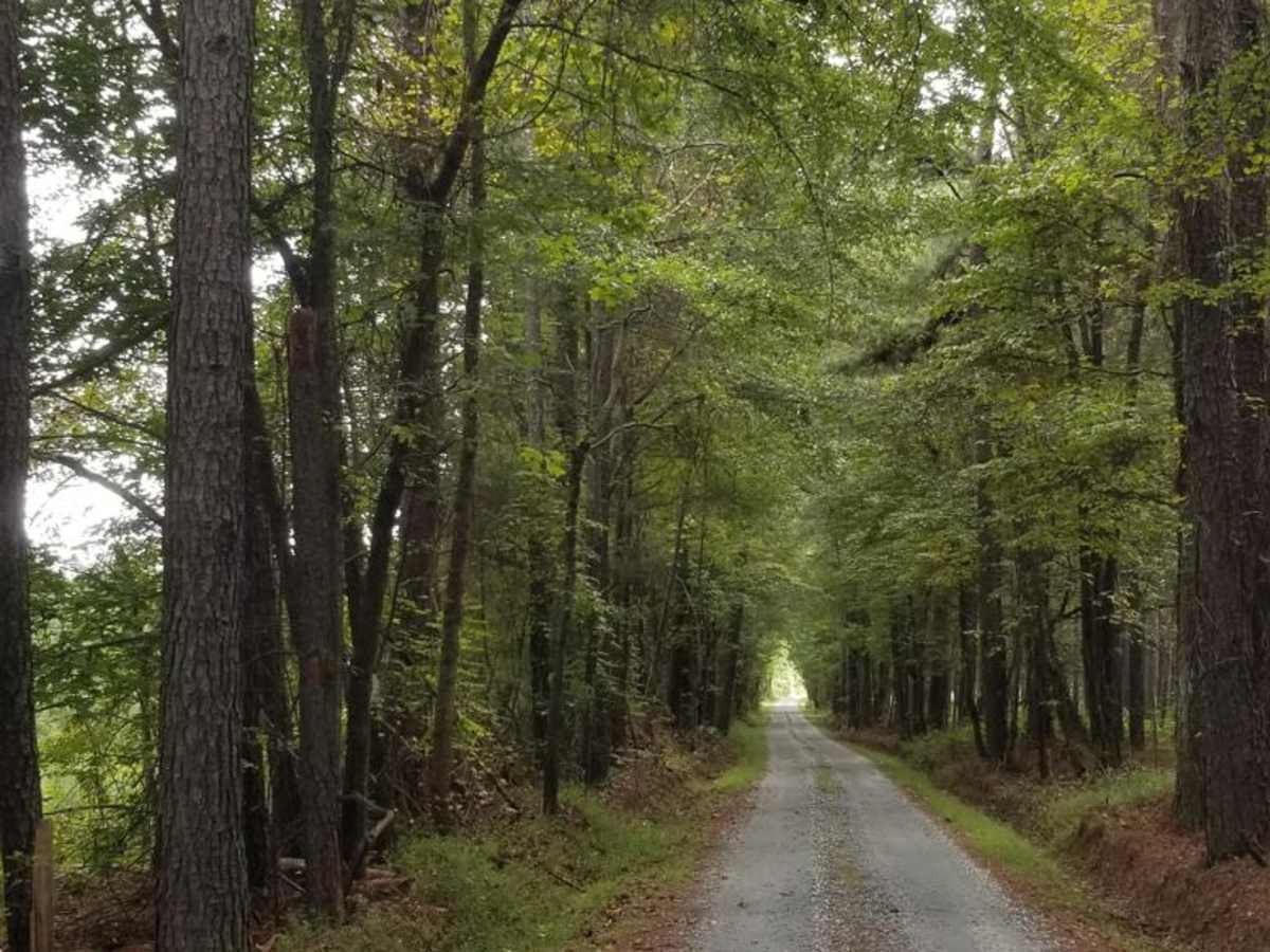
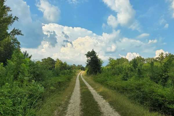
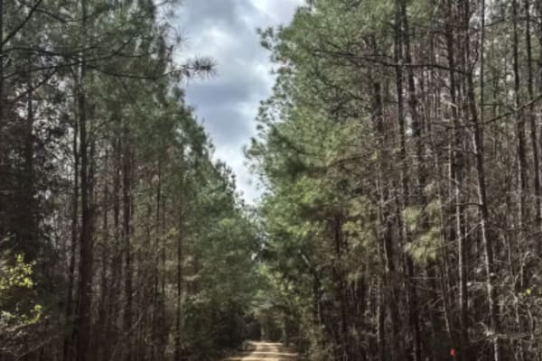
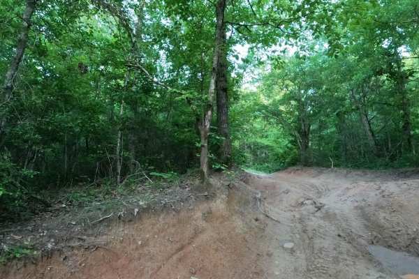
The Enoree River Southside Trail System is a scenic and highly accessible offroad route ideal for beginners, families, and overlanders looking for a relaxing cruise through South Carolina’s lush forests. Stretching approximately 6.5 miles through the Enoree Ranger District of Sumter National Forest, this route features smooth, well-maintained gravel and dirt roads that require no specialized offroad equipment. With a gentle elevation range between 450 and 585 feet and minimal elevation change, any standard high-clearance vehicle, SUV, or overland rig can comfortably traverse the entire length. Along the way, drivers are treated to dense canopies of pine and hardwood, offering a peaceful retreat into nature with several opportunities to stop and enjoy the serene southern woodlands.
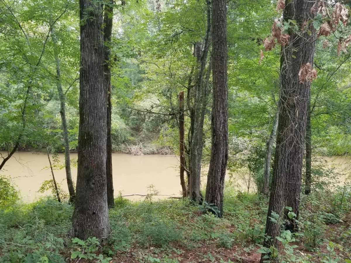
This route provides exceptional recreational access, particularly for paddlers and hunters, with spurs leading directly to the Enoree River and the Enoree Canoe Trail. The smooth paths terminate at quiet river access points, making it an excellent launching pad for water activities or a peaceful afternoon of fishing. Adventurers looking to extend their journey can easily connect to adjacent forest service roads or head south to explore the more challenging Sumter OHV trail systems. Open year-round, the trail represents an easy-going gateway to outdoor recreation in the region, combining straightforward navigation with convenient access to land and water-based adventures.
Access Description
The roads within the Enoree River Southside Trail System are managed by the U.S. Forest Service as part of the Sumter National Forest. No permits or fees are required to drive on these public forest service roads. The trails are typically open year-round, though they may close temporarily due to severe weather, flooding, or forestry management. High-clearance vehicles are recommended, though standard passenger cars can often traverse the route in dry conditions.

 Offroad