Laurel Run Road
Total Miles
10.7
Technical Rating
Best Time
Summer, Spring, Fall
Trail Type
Full-Width Road
Accessible By
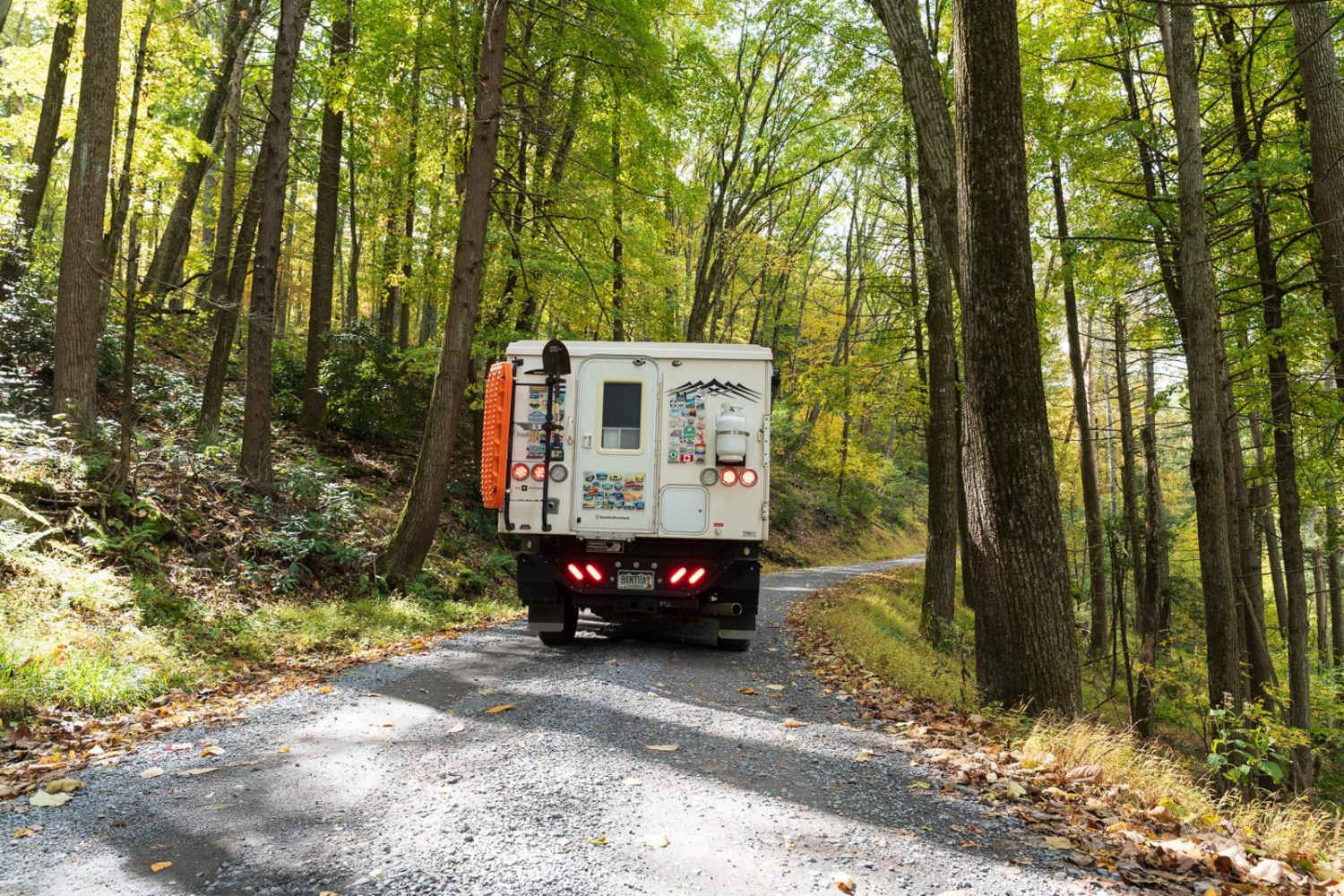
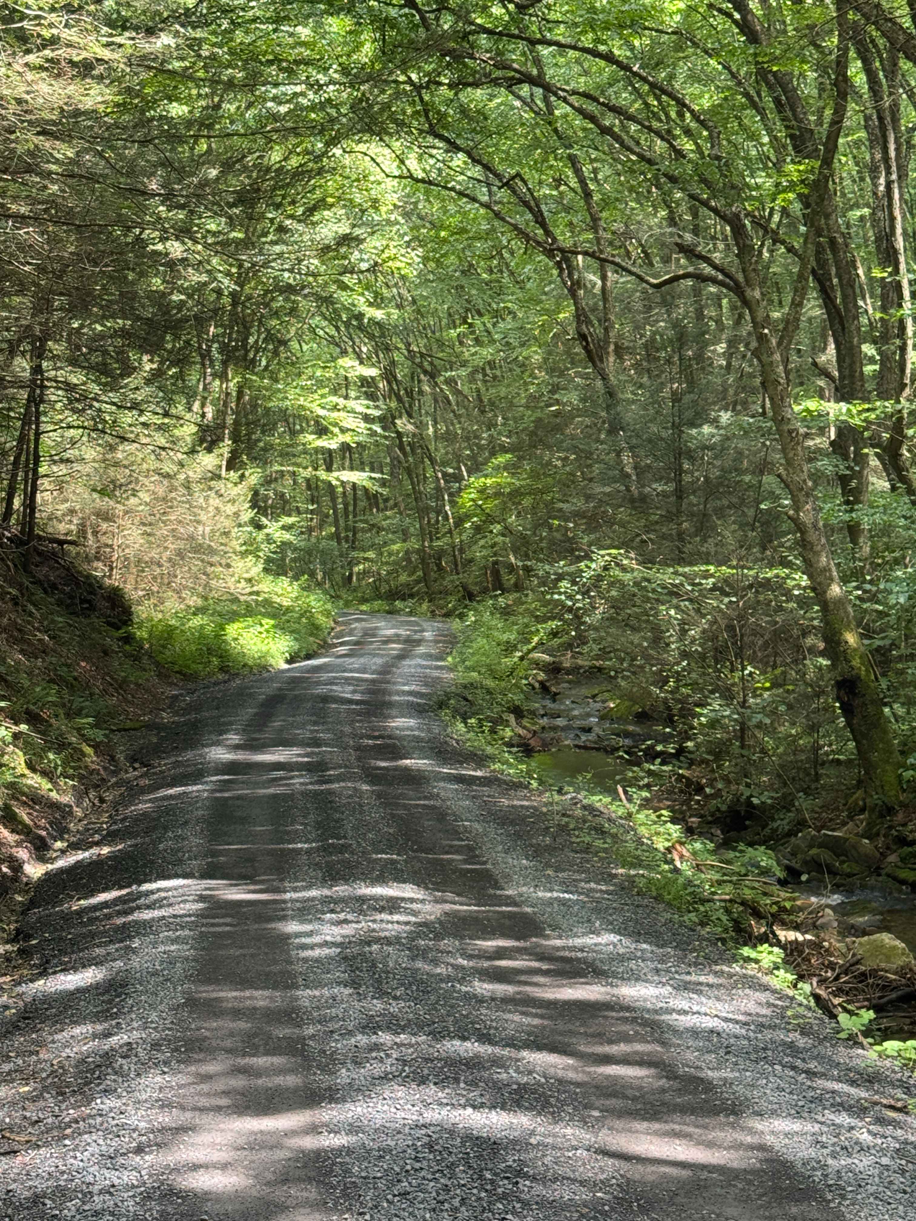
Trail Overview
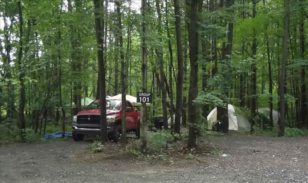
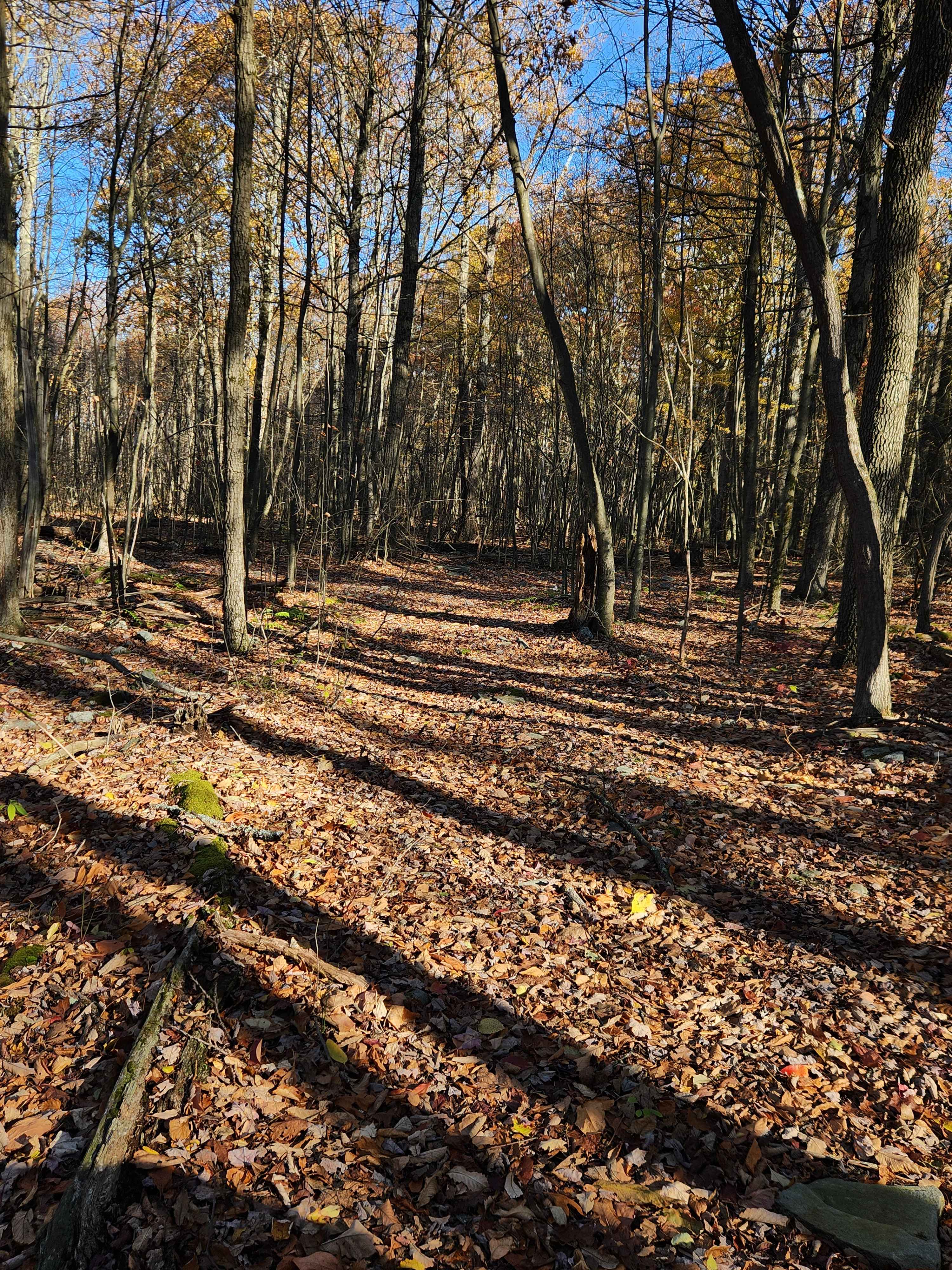
Laurel Run Road is a well-maintained gravel trail through Rothrock State Forest. The trail climbs a series of switchbacks to a ridge before descending and entering Whipple Dam State Park. The trail passes multiple hiking trailheads, private cabins, and other off-road trails as it traverses a forest of deciduous trees, rhododendrons, and small creeks. The spring rhododendron bloom and fall foliage are especially scenic. Only highway-legal vehicles are allowed. ATVs are not allowed.
Photos of Laurel Run Road

Difficulty
The trail has occasional small potholes or 2-4" rocks. There is also one tight switchback turn. There is a large turning area but it could still be challenging for a large RV or trailer longer than 30'.
Laurel Run Road can be accessed by the following ride types:
- High-Clearance 4x4
- SUV
Laurel Run Road Map
Popular Trails
Trailhead Campground Loop
OHV 1 - Rock Run Recreation Area
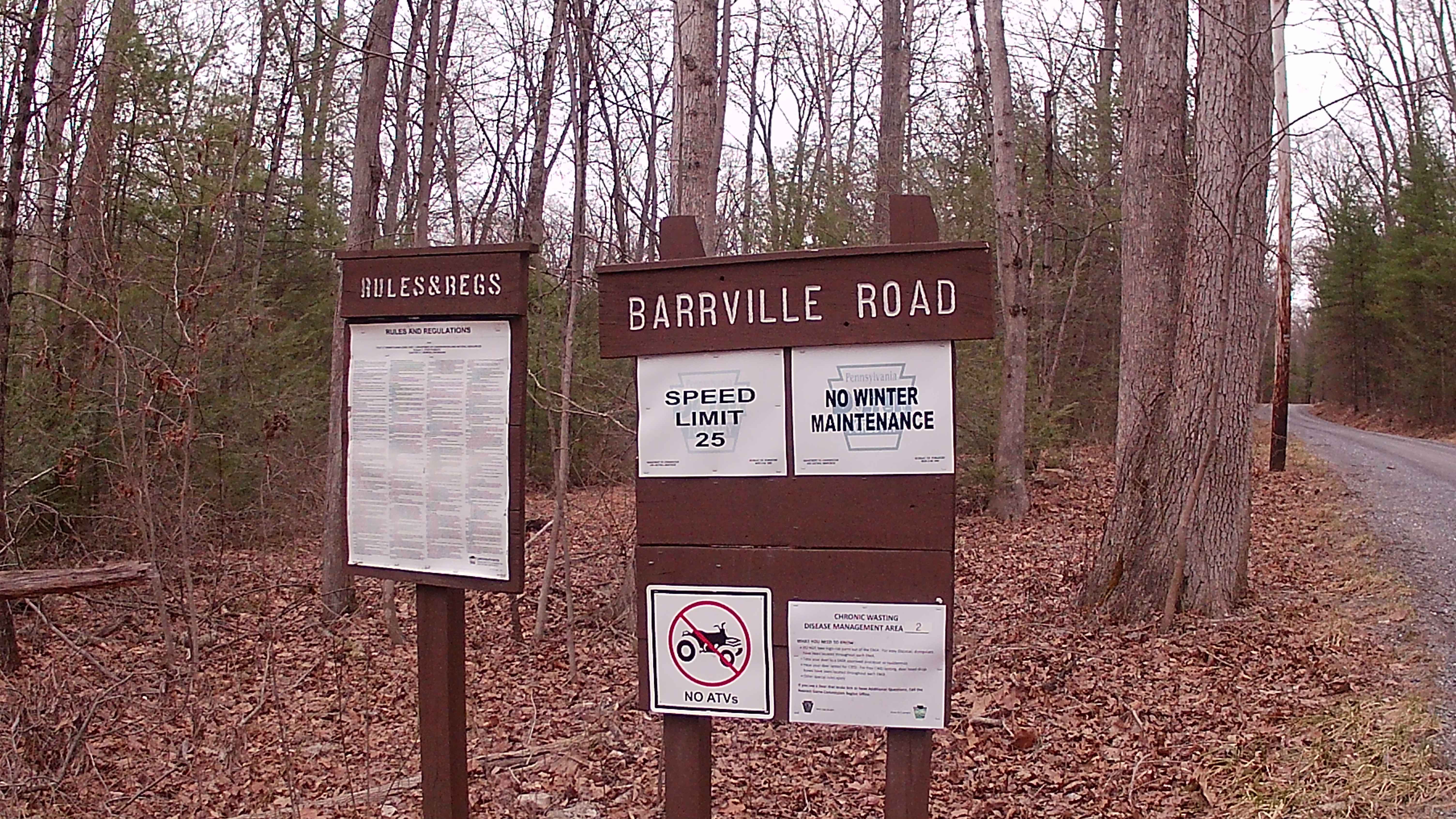
Barrville Road
The onX Offroad Difference
onX Offroad combines trail photos, descriptions, difficulty ratings, width restrictions, seasonality, and more in a user-friendly interface. Available on all devices, with offline access and full compatibility with CarPlay and Android Auto. Discover what you’re missing today!