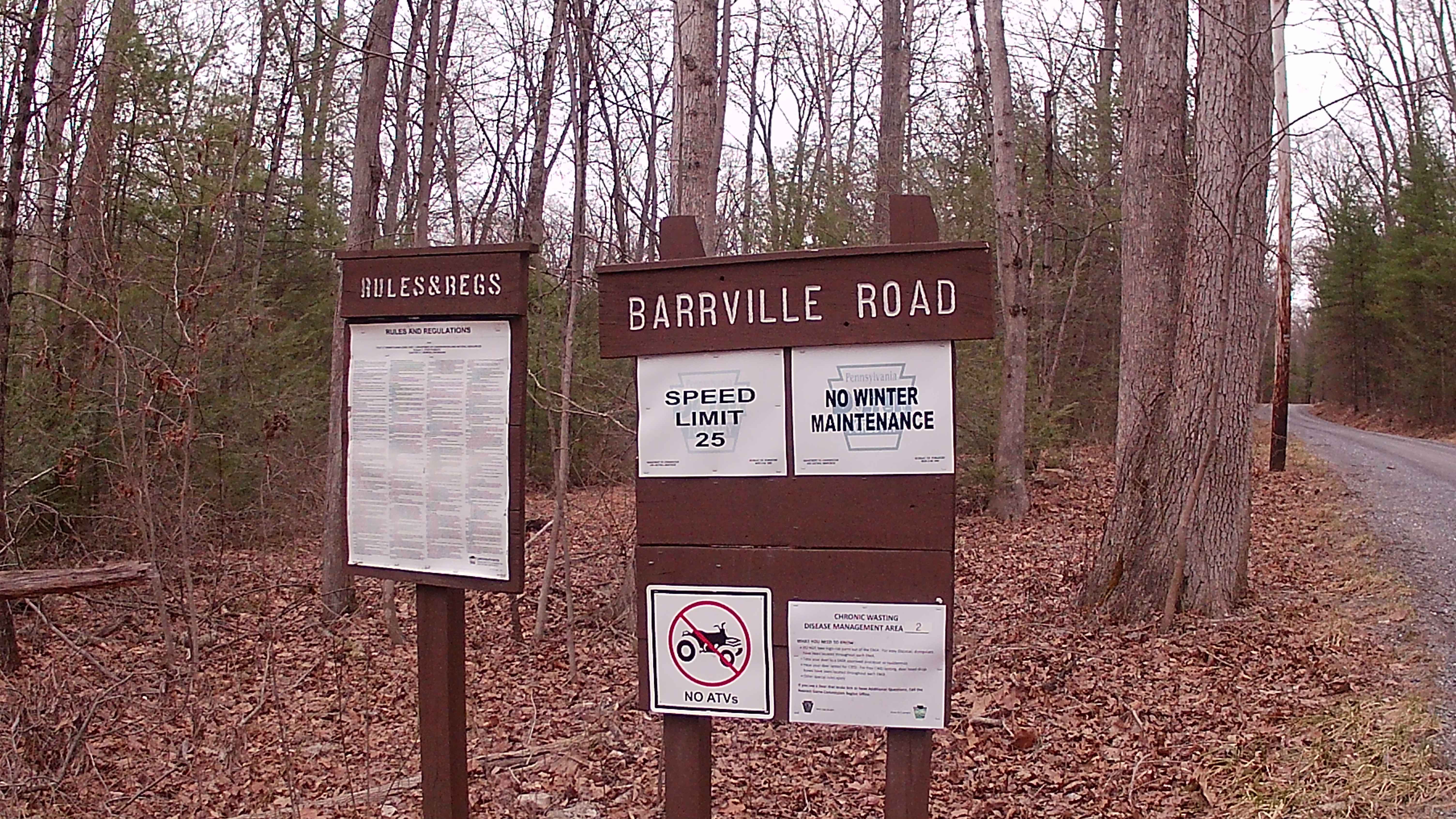
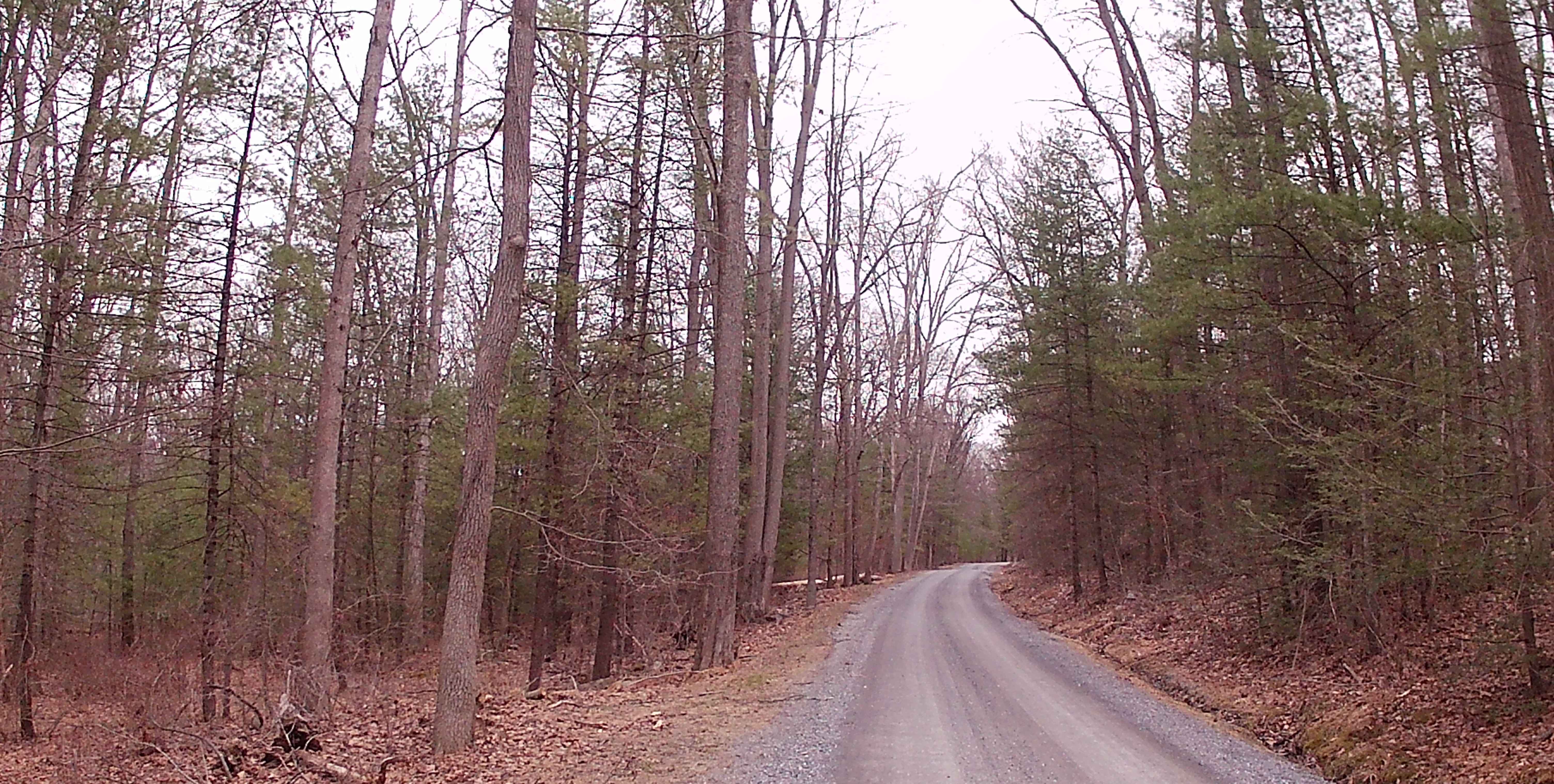
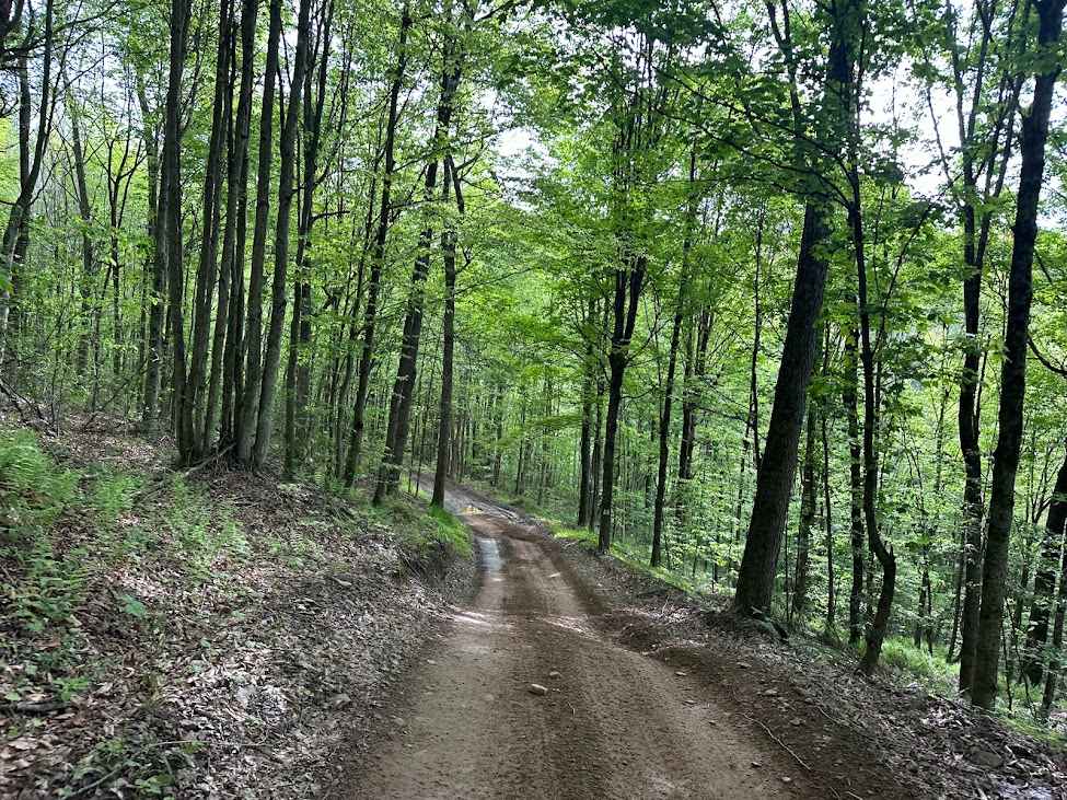
Barrville Road
Total Miles
3.2
Technical Rating
Best Time
Spring, Summer, Fall
Trail Type
Full-Width Road
Accessible By
Trail Overview
Barrville Road is a typical graded gravel road within Rothrock State Forest. The trailhead is off a main paved road that is Route 305 (Greenwood Road). The Trail is gravel until the end portion turns to a paved road. It is an in-and-out trail. The trail is close to Greenwood Furnace Campground. The trail is surrounded by heavy big timber providing plenty of shelter and food sources for local wildlife. There are not many turnarounds, and part of the road is tight to accommodate two vehicles; some shelf roads make the trail a bit more interesting. This trail is easily accessible during the summer months, but more difficult to traverse in colder months due to snow and ice, with no winter maintenance.
Photos of Barrville Road
Difficulty
Difficulties traveling this road in the winter months due to snow and ice, with no winter maintenance.
History
Barrville Road is connected to early logging railroad grades or wagon paths used to transport timber to furnaces. Since the 1800s, the Civilian Conservation Corps had improved the landscape between 1933 and 1941. Today, this road is used as a scenic public gravel road for access to hiking trails, including Flat Road Trail and Pig Pile Trail. This road is used to travel to and from Greenwood Furnace State Park.
Status Reports
Barrville Road can be accessed by the following ride types:
- High-Clearance 4x4
- SUV
Barrville Road Map
Popular Trails
Van Dyke Road
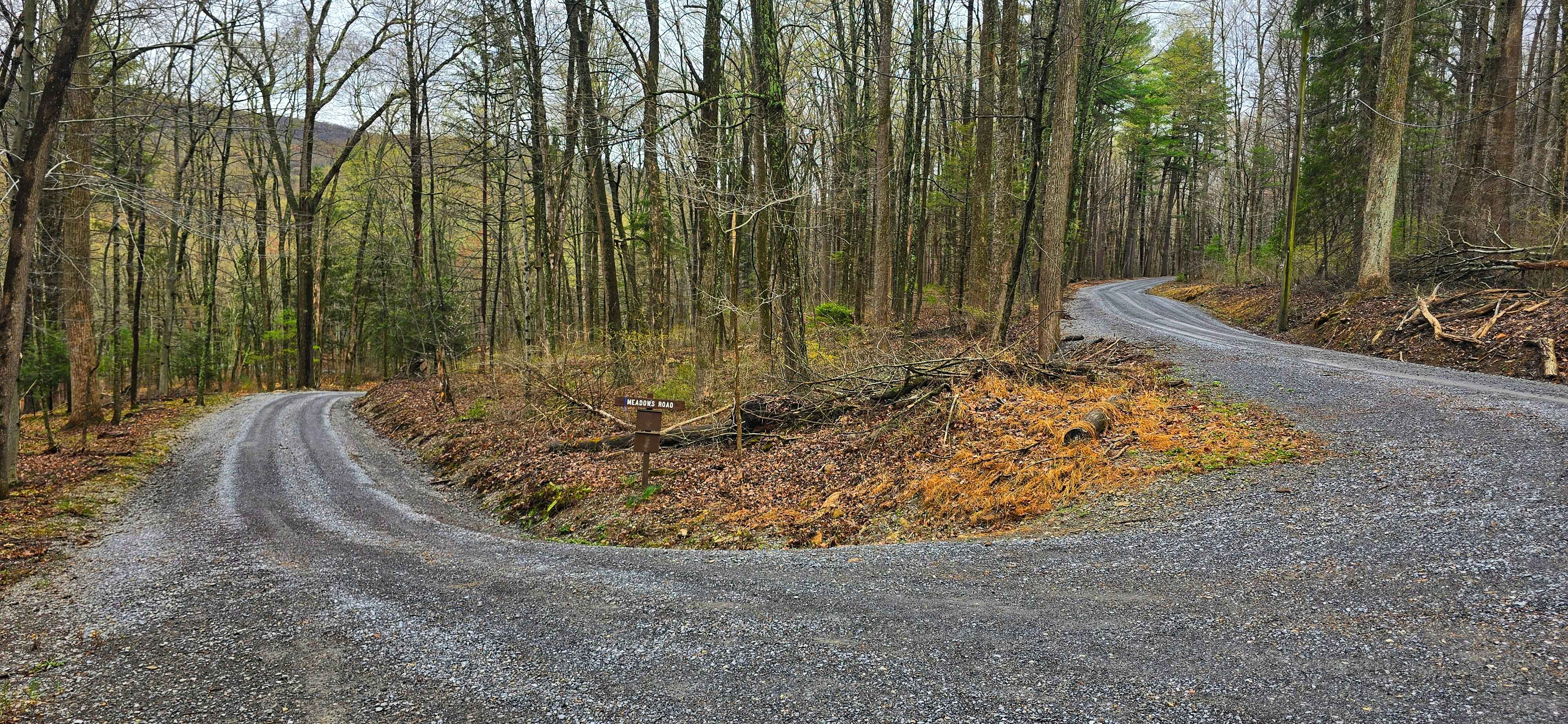
Meadows Road
A Blue A1
The onX Offroad Difference
onX Offroad combines trail photos, descriptions, difficulty ratings, width restrictions, seasonality, and more in a user-friendly interface. Available on all devices, with offline access and full compatibility with CarPlay and Android Auto. Discover what you’re missing today!