Dinner Bell to Sugarloaf Trail
Total Miles
7.6
Technical Rating
Best Time
Spring, Summer, Fall, Winter
Trail Type
Full-Width Road
Accessible By
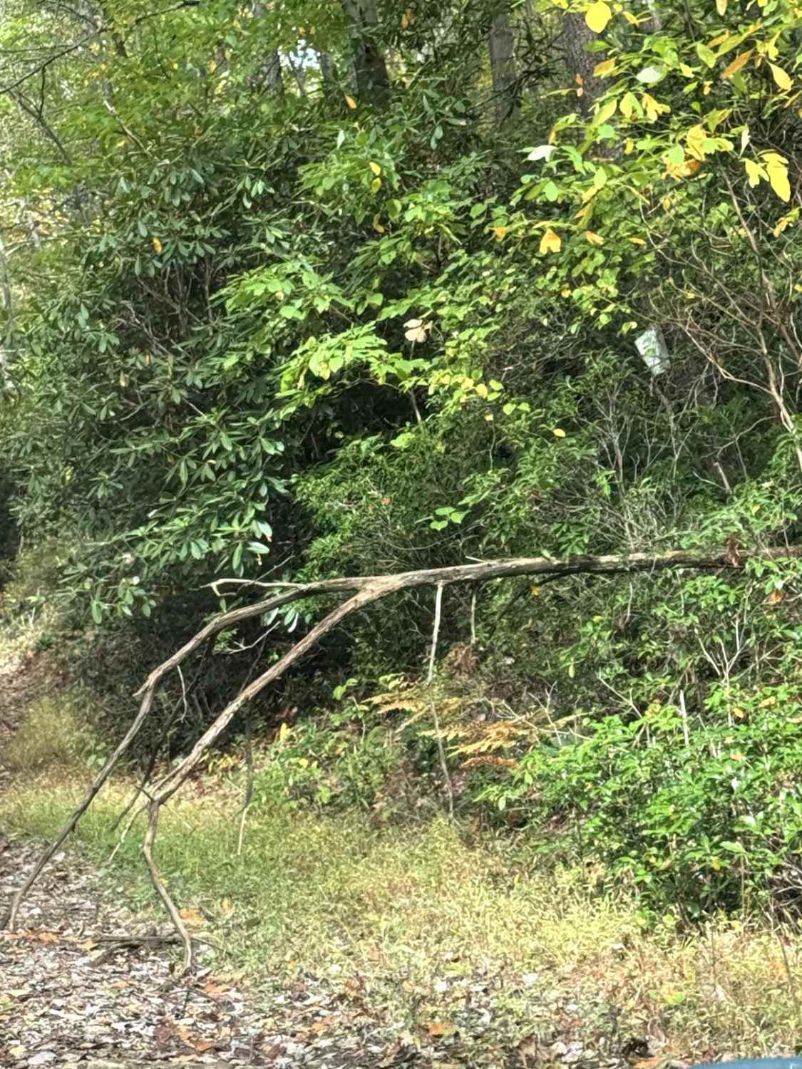
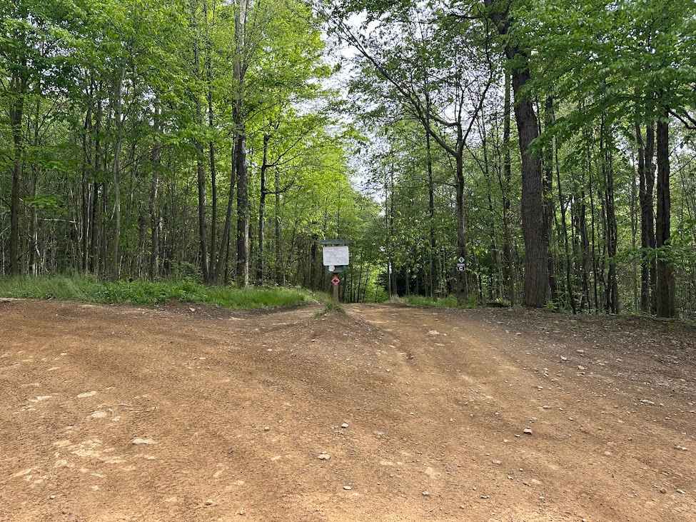
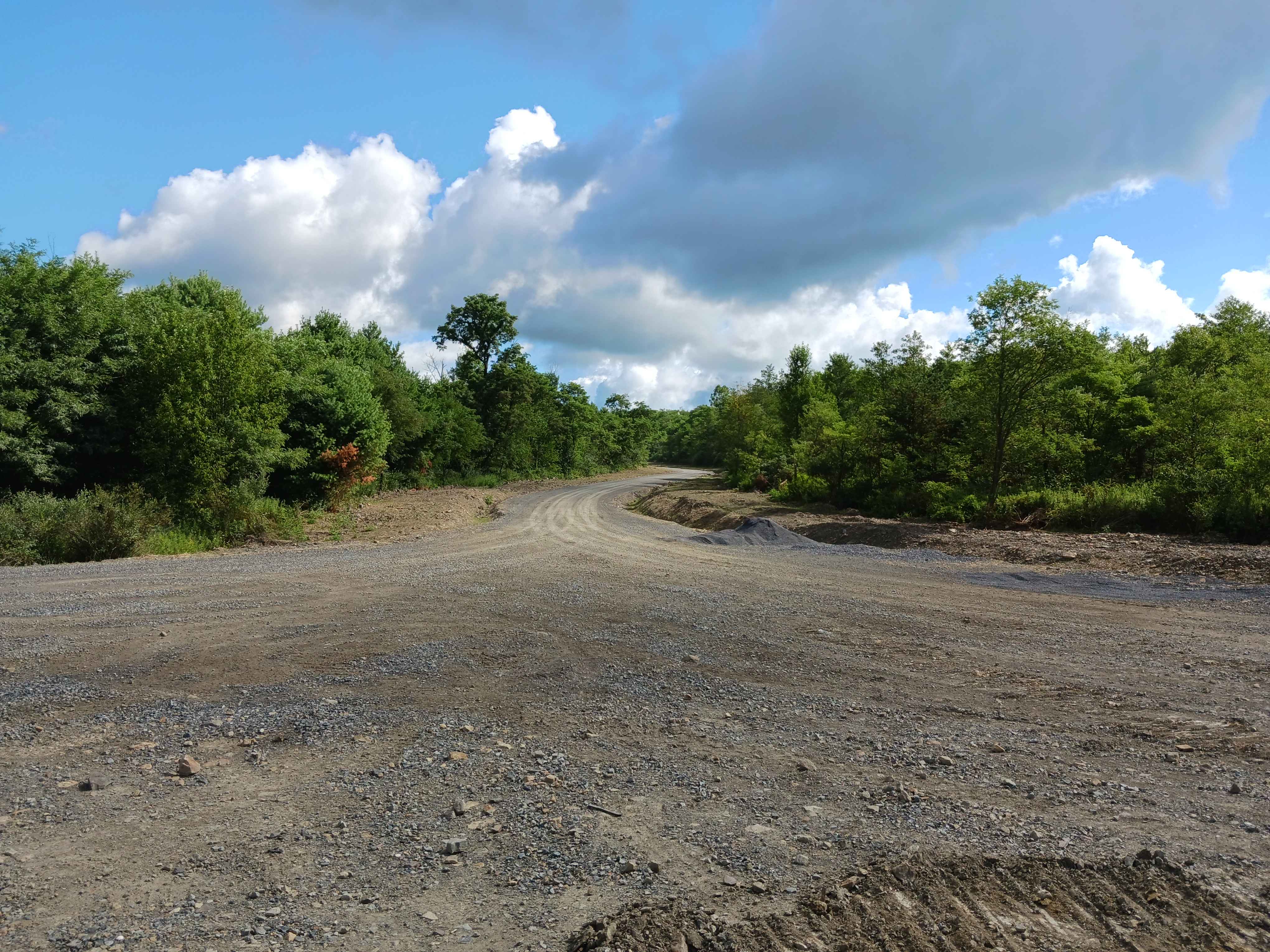
Trail Overview
This 5.2 mile trail starts by turning off U.S. Route 40. It runs along the border and then into Ohiopyle State Park. The trail begins after turning onto Dinner Bell - Ohioyple Road and turns to Pressley Ridge Road and Sarver Road. The trail consists of a nice mix of light gravel and dirt, with a few hills. A majority of the trail has locations to pull off, but there are narrow sections. Be mindful when traveling in groups and for oncoming vehicles.
Photos of Dinner Bell to Sugarloaf Trail

Difficulty
This trail is a mix of light gravel and dirt. The trail is unmaintained after rain or snow. The roads are one to two vehicles wide.
Status Reports
Dinner Bell to Sugarloaf Trail can be accessed by the following ride types:
- High-Clearance 4x4
- SUV
Dinner Bell to Sugarloaf Trail Map
Popular Trails
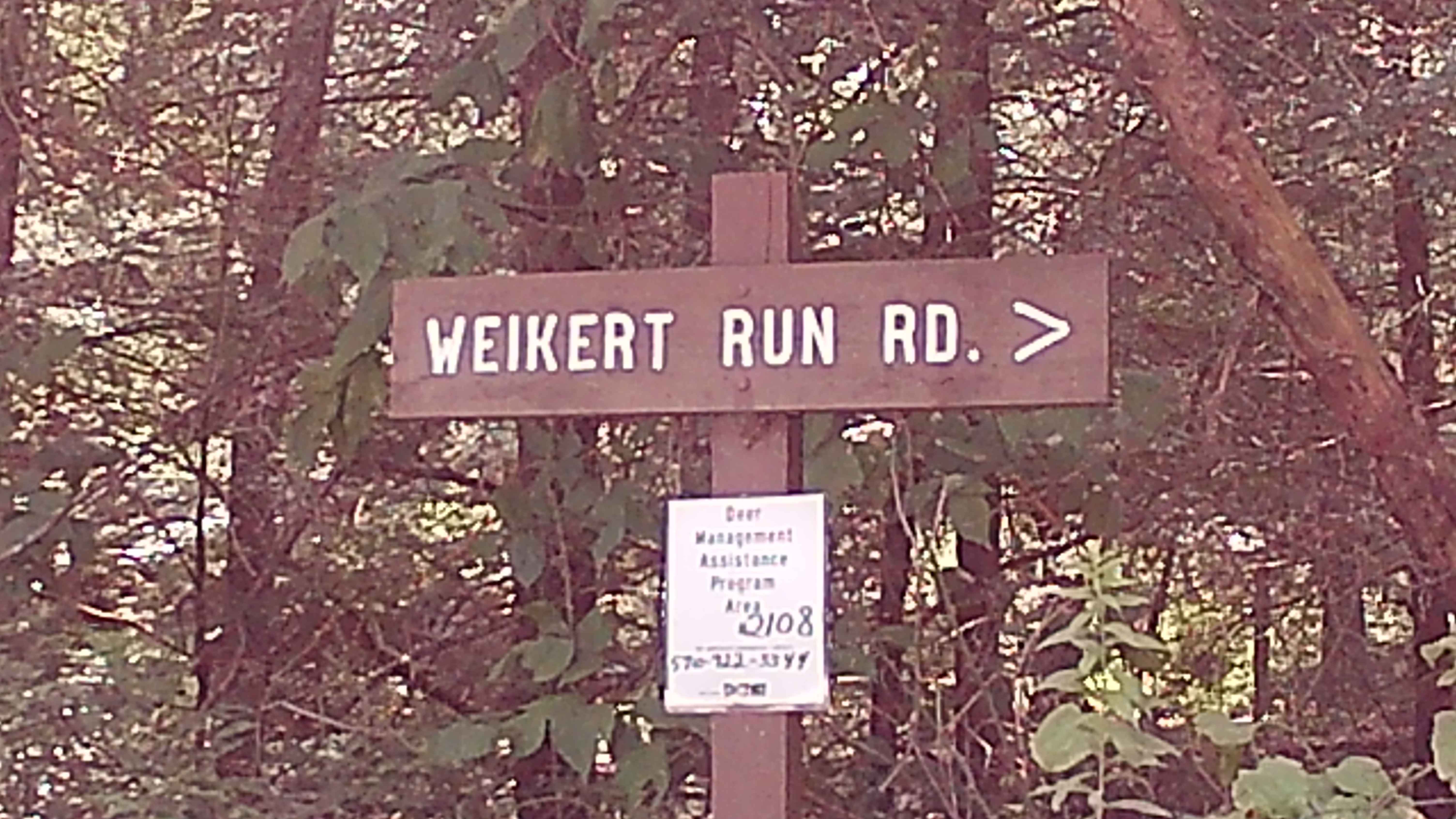
Weikert Run Road
C Green C6 C8 C9
Raptor Path Road - Rock Run Recreation Area

20 Green - B
The onX Offroad Difference
onX Offroad combines trail photos, descriptions, difficulty ratings, width restrictions, seasonality, and more in a user-friendly interface. Available on all devices, with offline access and full compatibility with CarPlay and Android Auto. Discover what you’re missing today!