Area 51 Green C
Total Miles
0.4
Technical Rating
Best Time
Spring, Summer, Fall, Winter
Trail Type
Full-Width Road
Accessible By
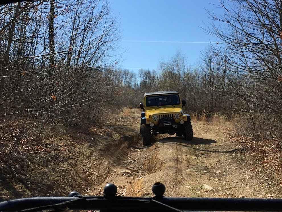
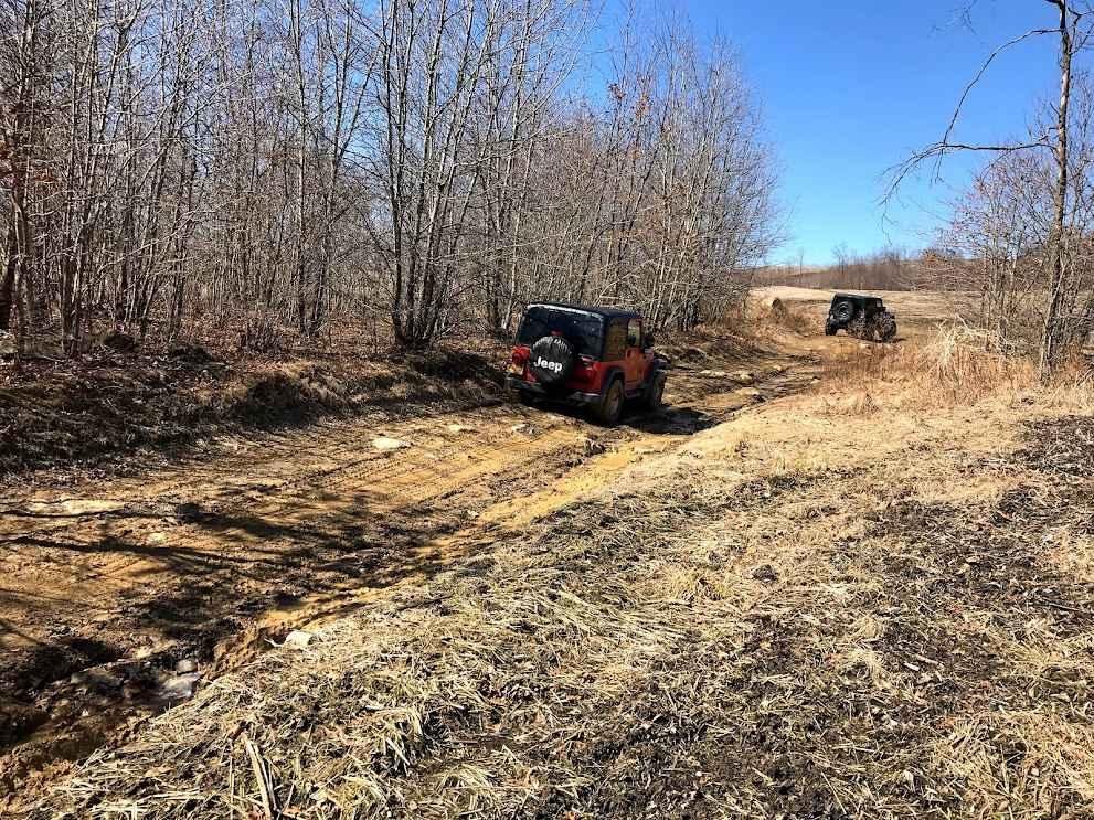
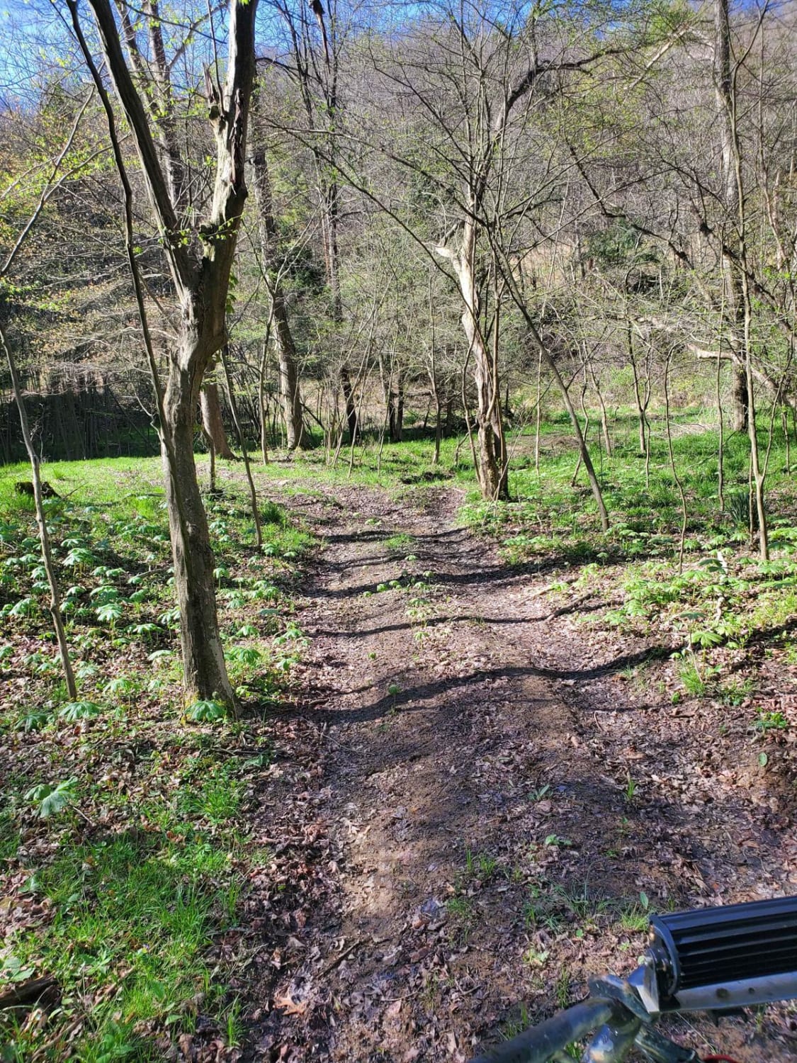
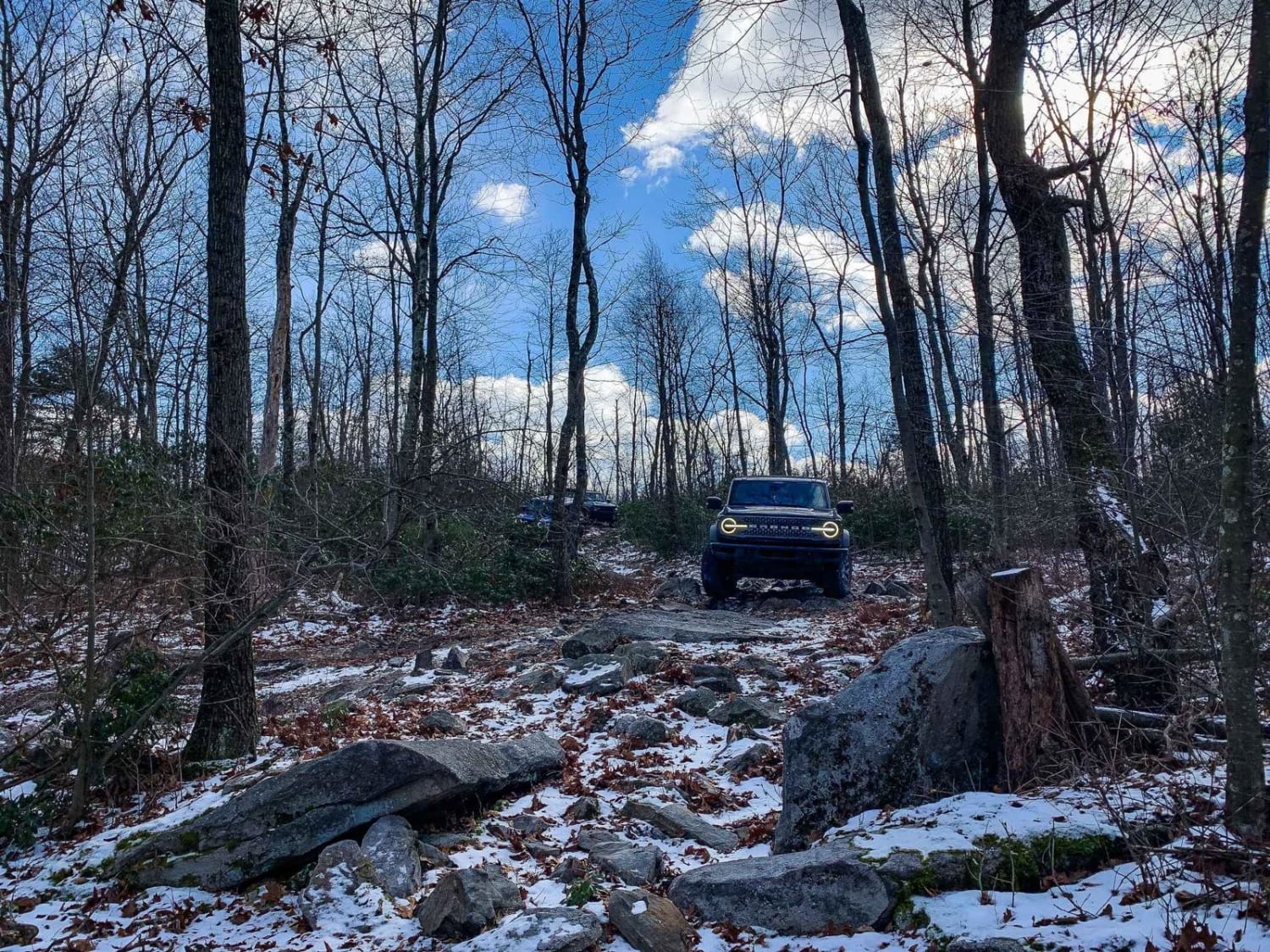
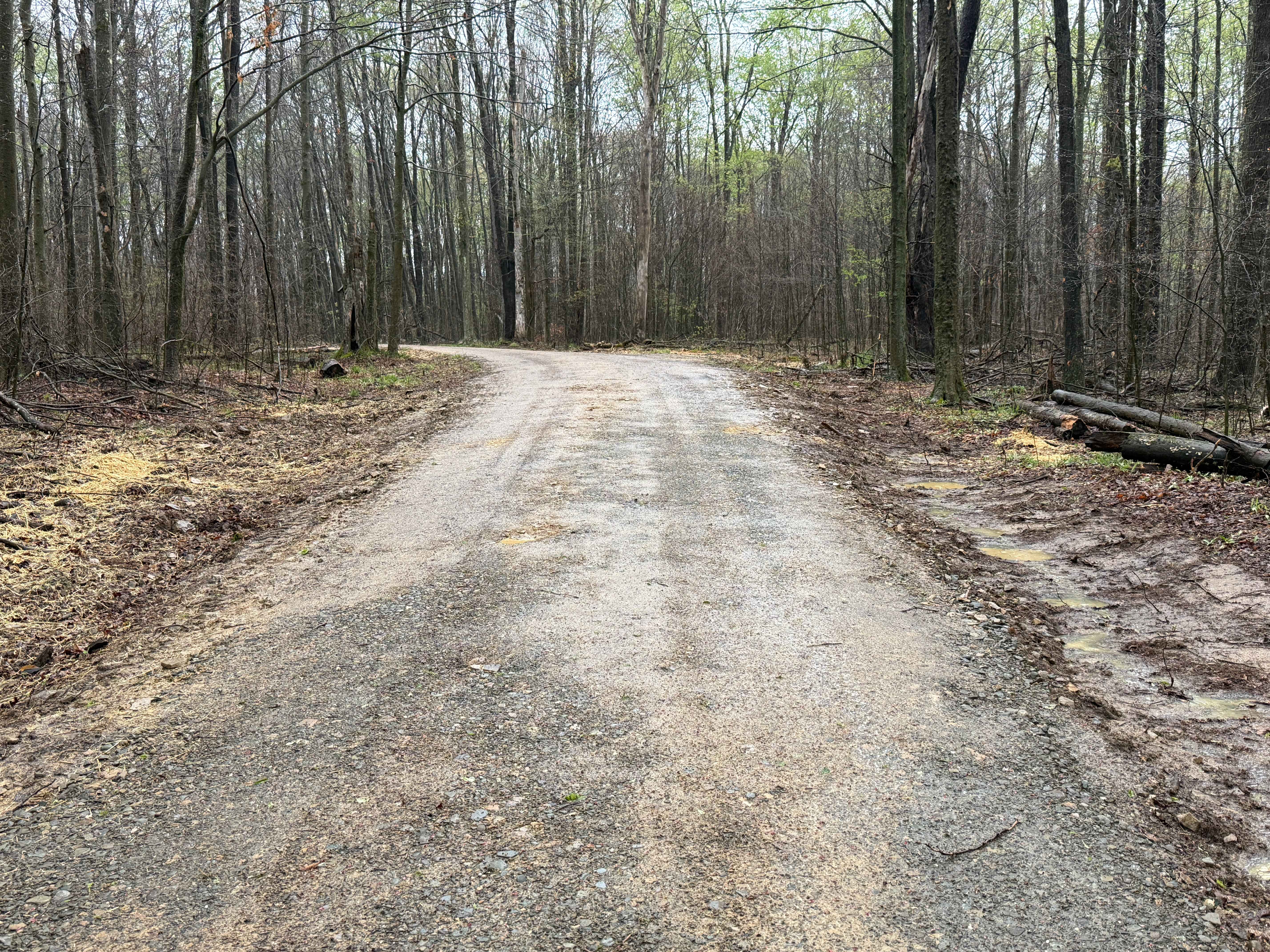
Trail Overview
Area 51 comprises multiple sections, serving as a connector for various trail areas. The trail network in this region originated from ground tests, where a bulldozer plowed paths to assess minerals in the soil. Consequently, these paths evolved into interconnected trails, explaining their appearance. Expect to encounter ruts, rocks, and small puddles in this section.
Photos of Area 51 Green C
Difficulty
Small ruts, rocks, and puddles cover this whole section. It is stock-friendly but not a dirt road.
Status Reports
Area 51 Green C can be accessed by the following ride types:
- High-Clearance 4x4
- SUV
Area 51 Green C Map
Popular Trails
Sniper Ledge Bypass - BFR - Blue - Moderate
TFT Black C
West Bird Dog - FS 559
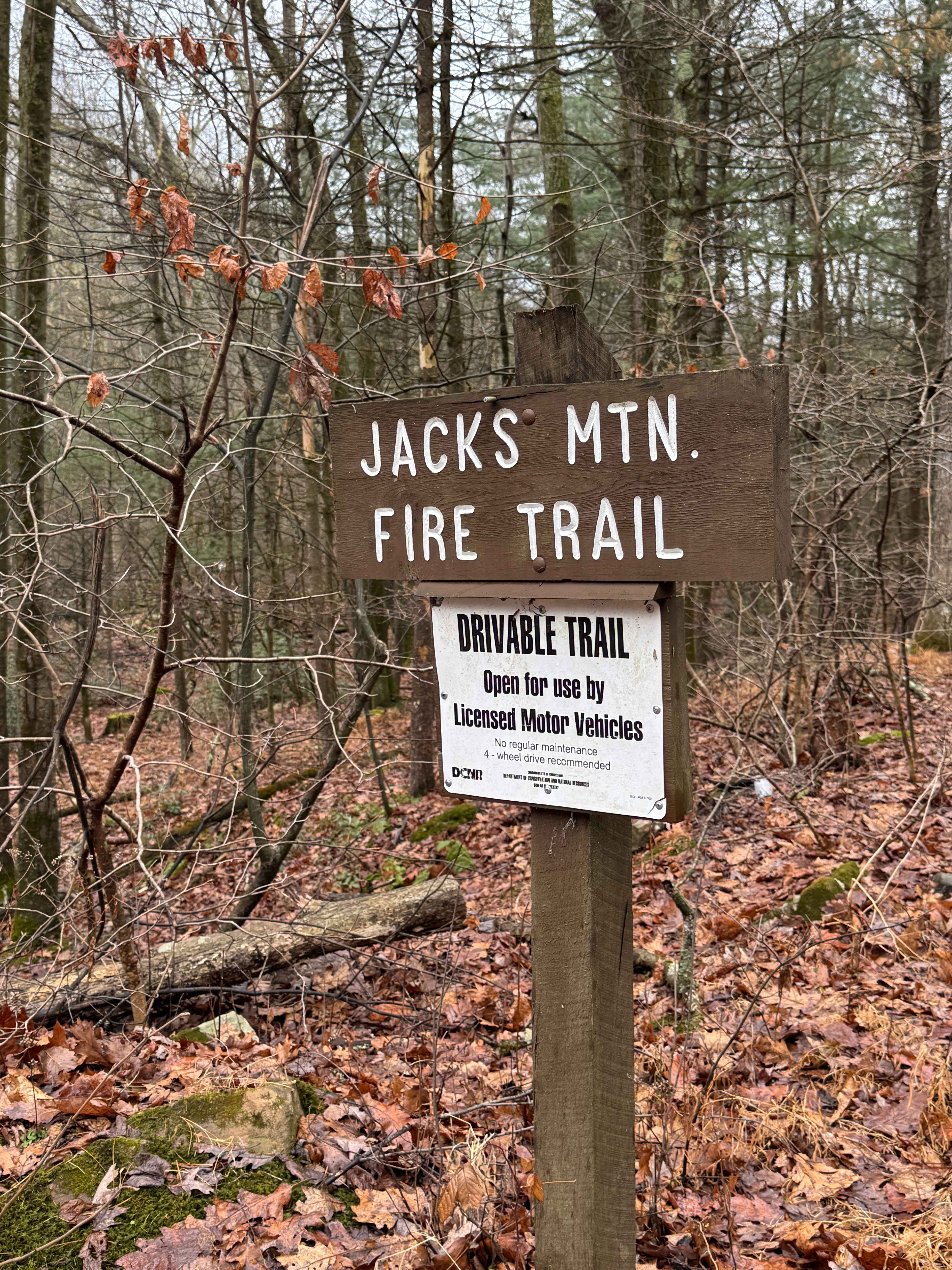
Jack's Mountain Fire Trail
The onX Offroad Difference
onX Offroad combines trail photos, descriptions, difficulty ratings, width restrictions, seasonality, and more in a user-friendly interface. Available on all devices, with offline access and full compatibility with CarPlay and Android Auto. Discover what you’re missing today!