40
Total Miles
0.2
Technical Rating
Best Time
Spring, Summer, Fall, Winter
Trail Type
Full-Width Road
Accessible By
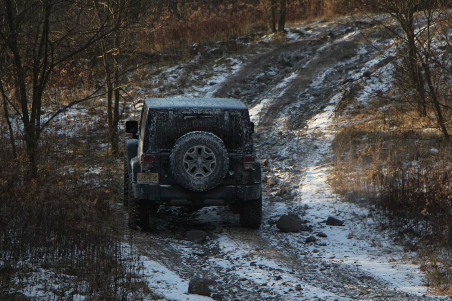
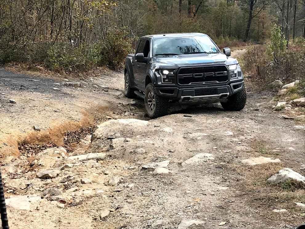
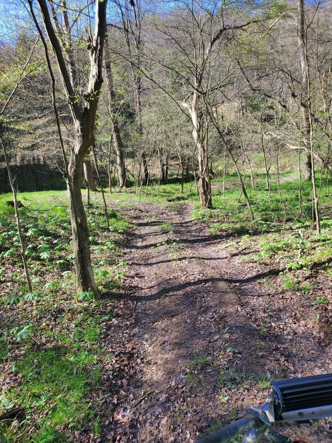
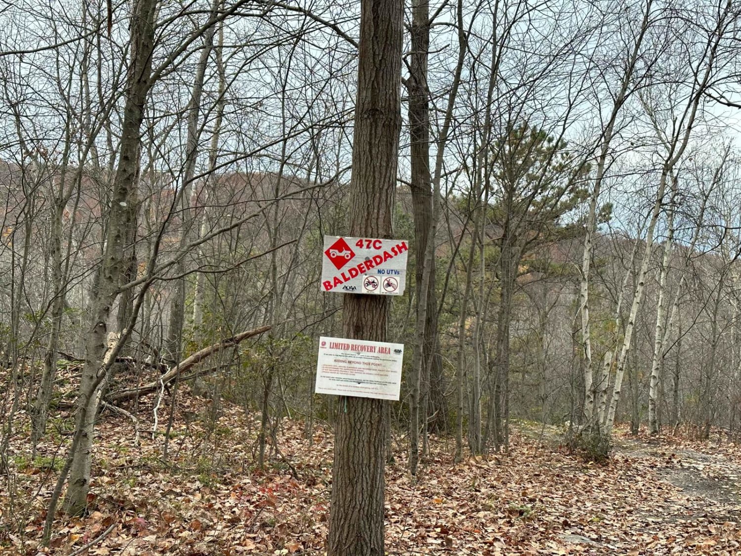
Trail Overview
Trail 40 is the most commonly used route to access the southern side of the northeast property. This rocky trail features a hill climb, providing a fun technical challenge. While it is stock-friendly, exercising caution is essential for a safe passage.
Photos of 40
Difficulty
This is a technical rocky trail for stock vehicles on a stock trail.
Status Reports
40 can be accessed by the following ride types:
- High-Clearance 4x4
- SUV
40 Map
Popular Trails
60 - BFR - Blue - Moderate
Pepper Run Road East
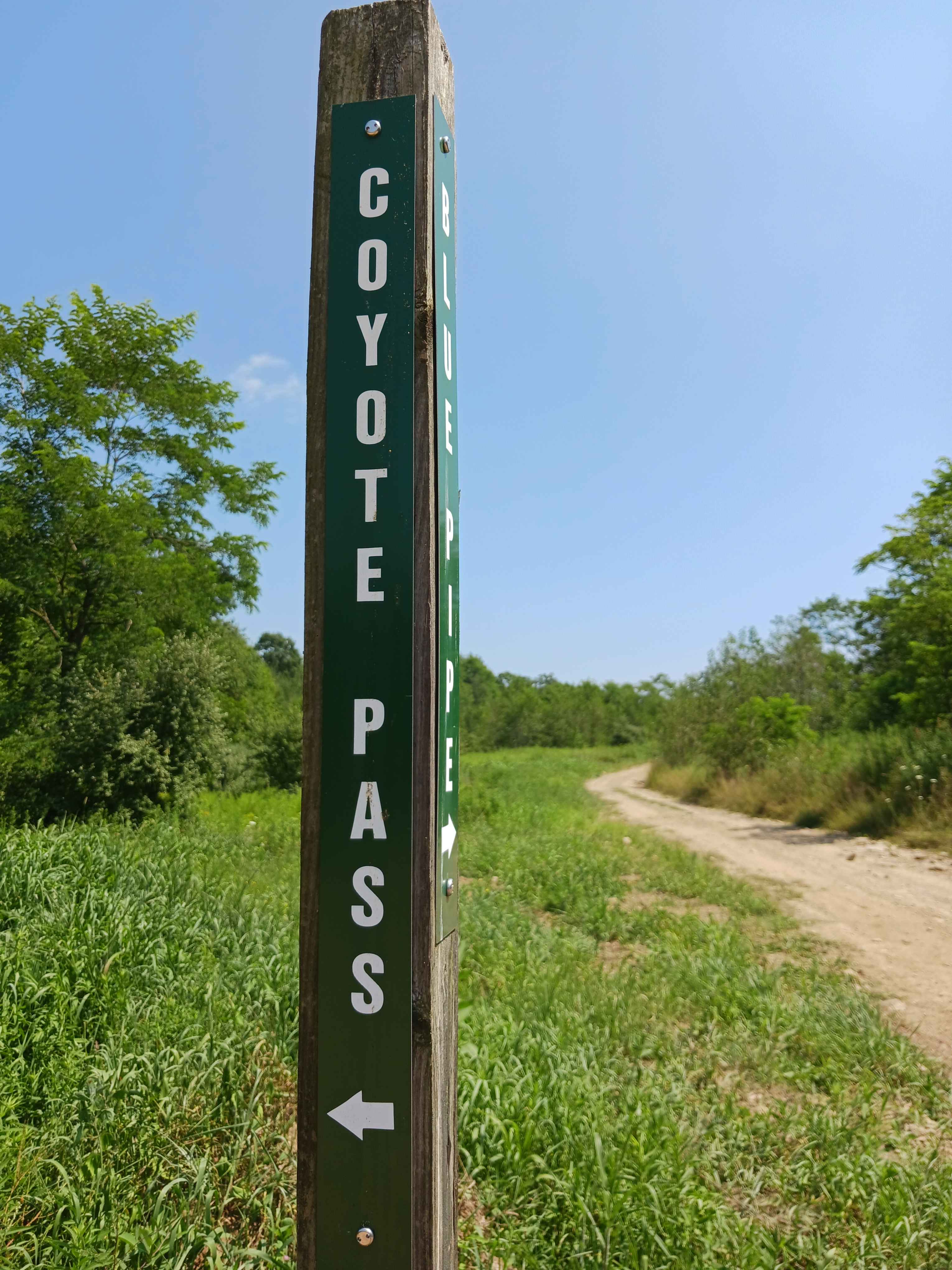
Coyote Pass Trail
The onX Offroad Difference
onX Offroad combines trail photos, descriptions, difficulty ratings, width restrictions, seasonality, and more in a user-friendly interface. Available on all devices, with offline access and full compatibility with CarPlay and Android Auto. Discover what you’re missing today!