Katies #89
Total Miles
1.1
Technical Rating
Best Time
Spring, Fall
Trail Type
Single Track
Accessible By
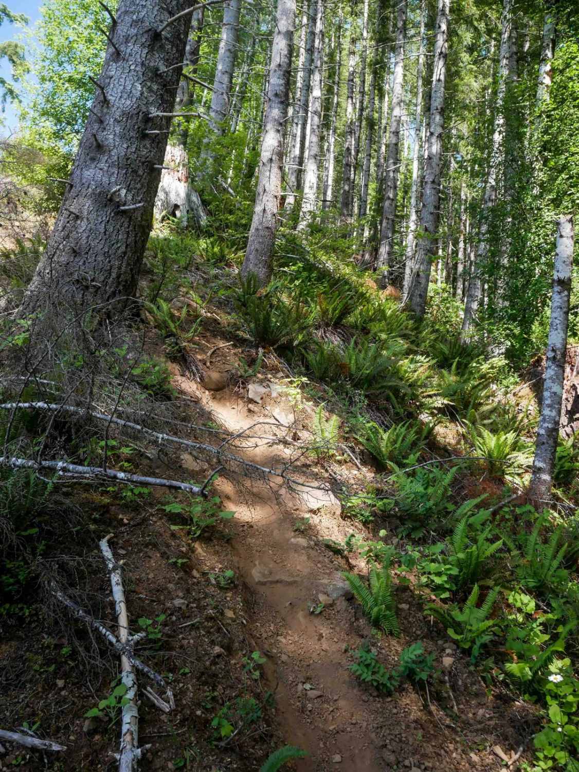
Trail Overview
Katies #89 is an extreme descent, dropping a staggering 1,500 feet over just 1.2 miles. This directional north-to-south single-track begins off Archer Road, initially easing through dense forest before rapidly intensifying. Riders must navigate steep descending sections with tight corners, root-laced troughs, log crossings, and nearly vertical grades. The trail narrows and goes through overgrown ferns, reducing visibility. A logged section mid-route adds exposure and root drop-offs, though the challenge lies more in the relentless steepness than in technical obstacles.
Photos of Katies #89

Difficulty
This is an extreme trail due to its sustained, near-vertical descent, poor visibility, and narrow, loose path with small root drop-offs.
Status Reports
Katies #89 can be accessed by the following ride types:
- Dirt Bike
Katies #89 Map
Popular Trails

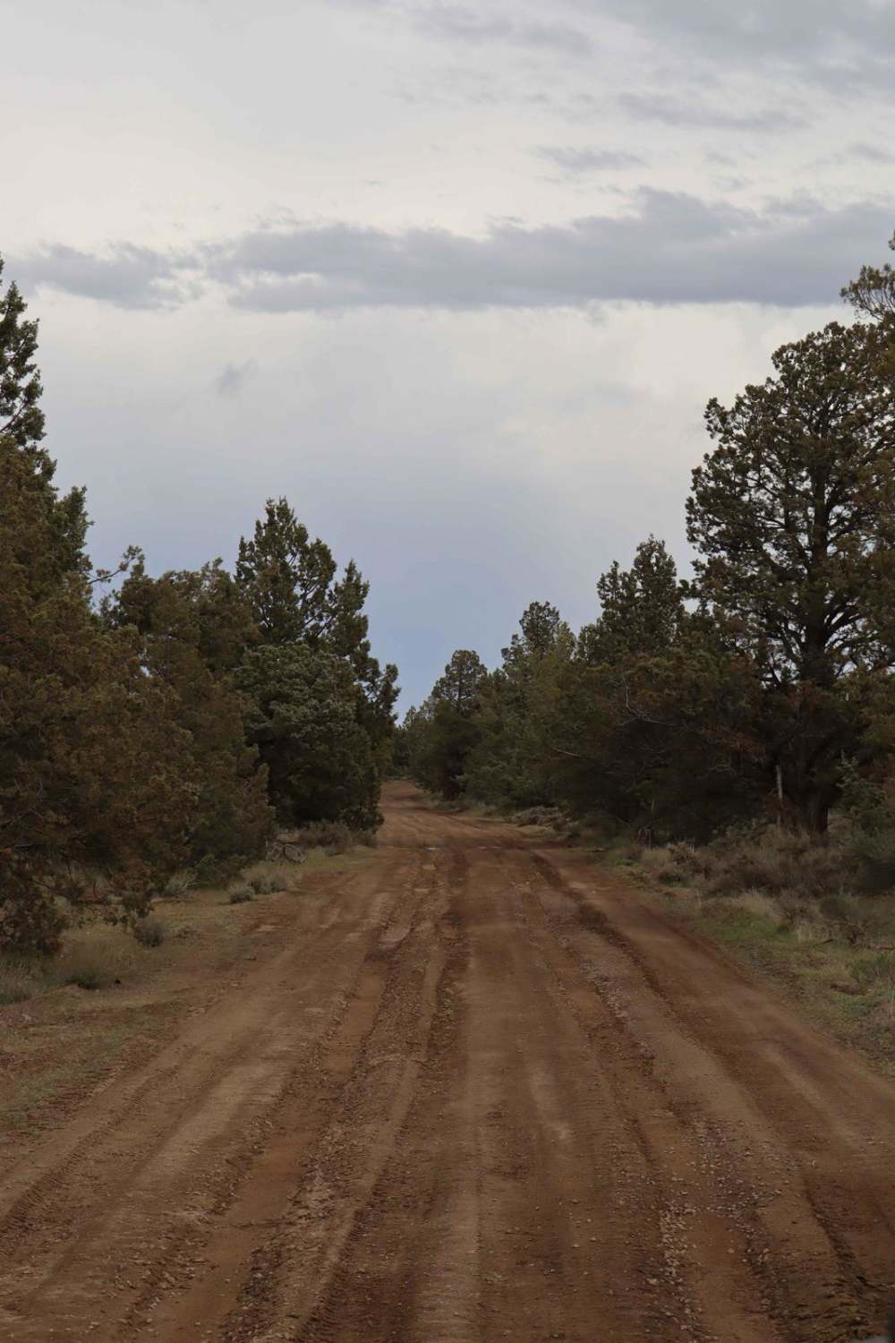
Remington Ranch Road Loop
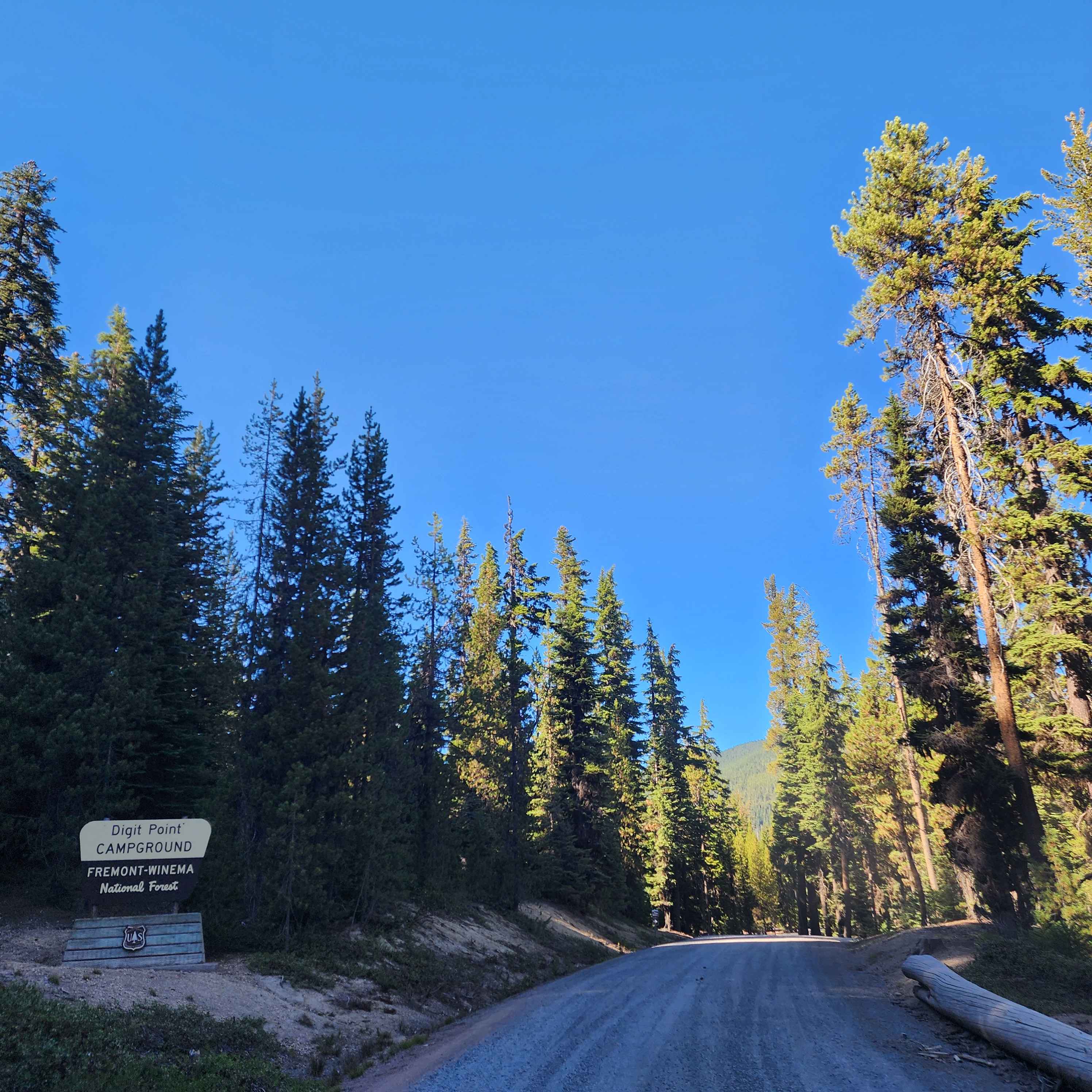
Miller Lake and Digit Campground - FS 9772
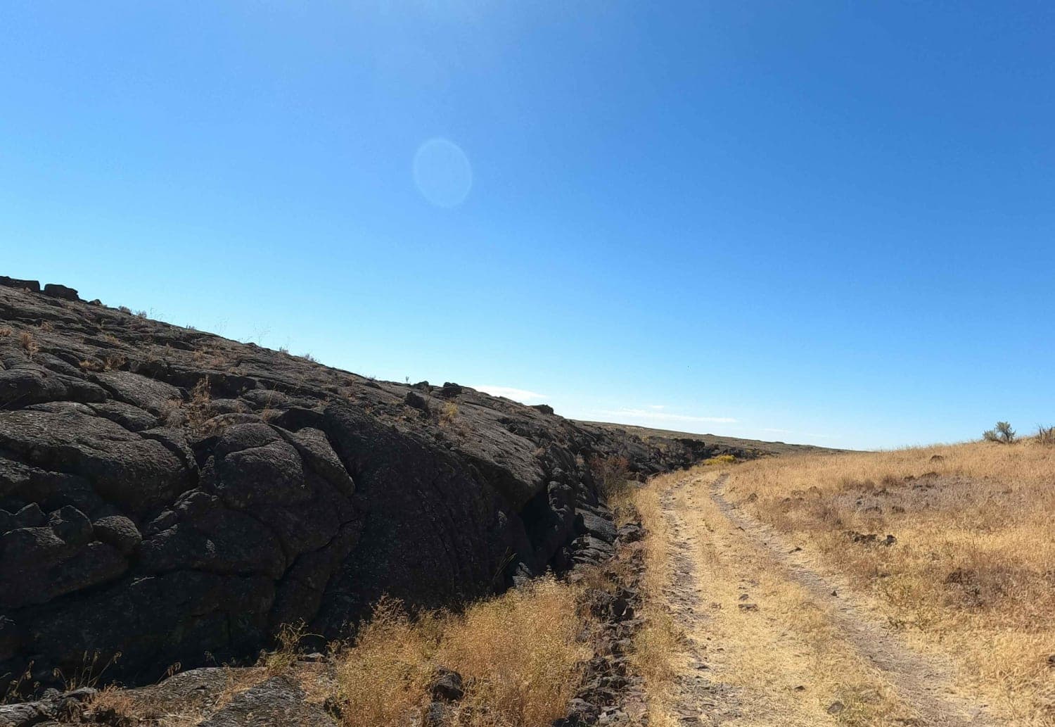
Crater Lake Jeep Trail
The onX Offroad Difference
onX Offroad combines trail photos, descriptions, difficulty ratings, width restrictions, seasonality, and more in a user-friendly interface. Available on all devices, with offline access and full compatibility with CarPlay and Android Auto. Discover what you’re missing today!