FR 6350 - Grahams Pass
Total Miles
4.8
Technical Rating
Best Time
Fall, Summer
Trail Type
Full-Width Road
Accessible By
Trail Overview
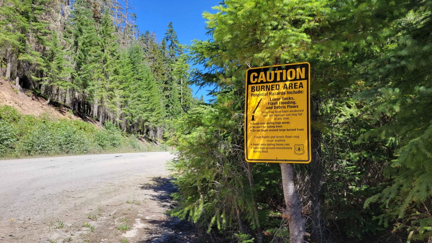
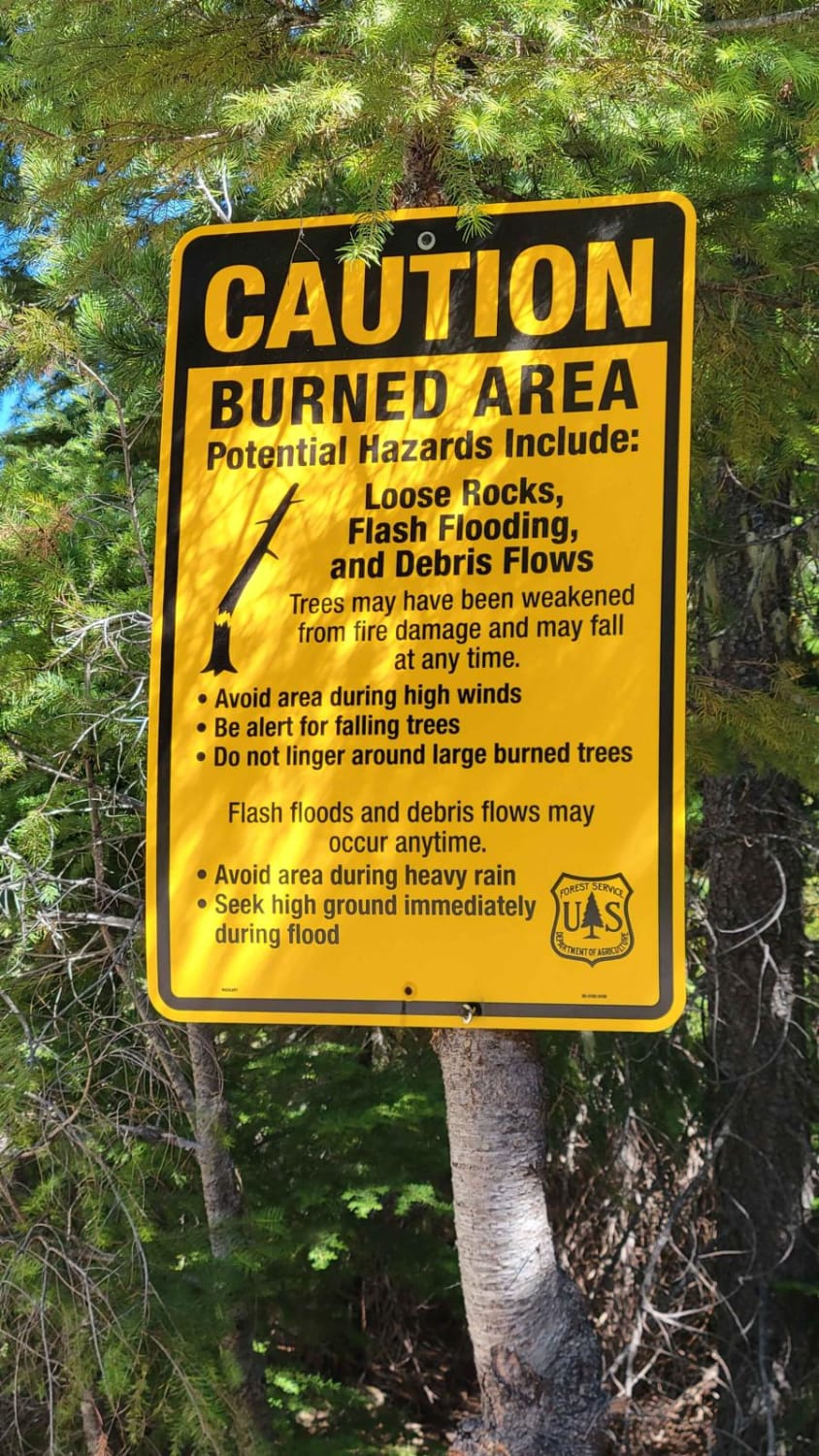
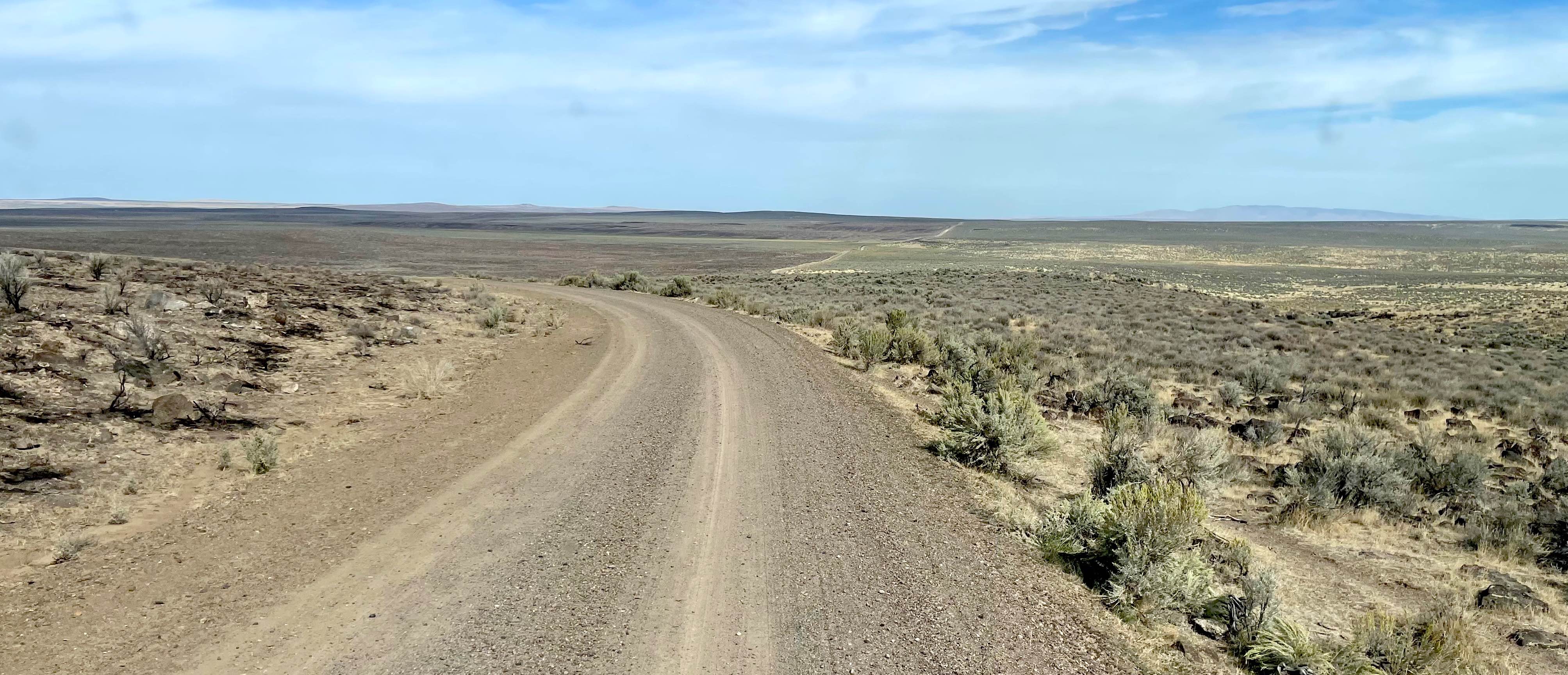
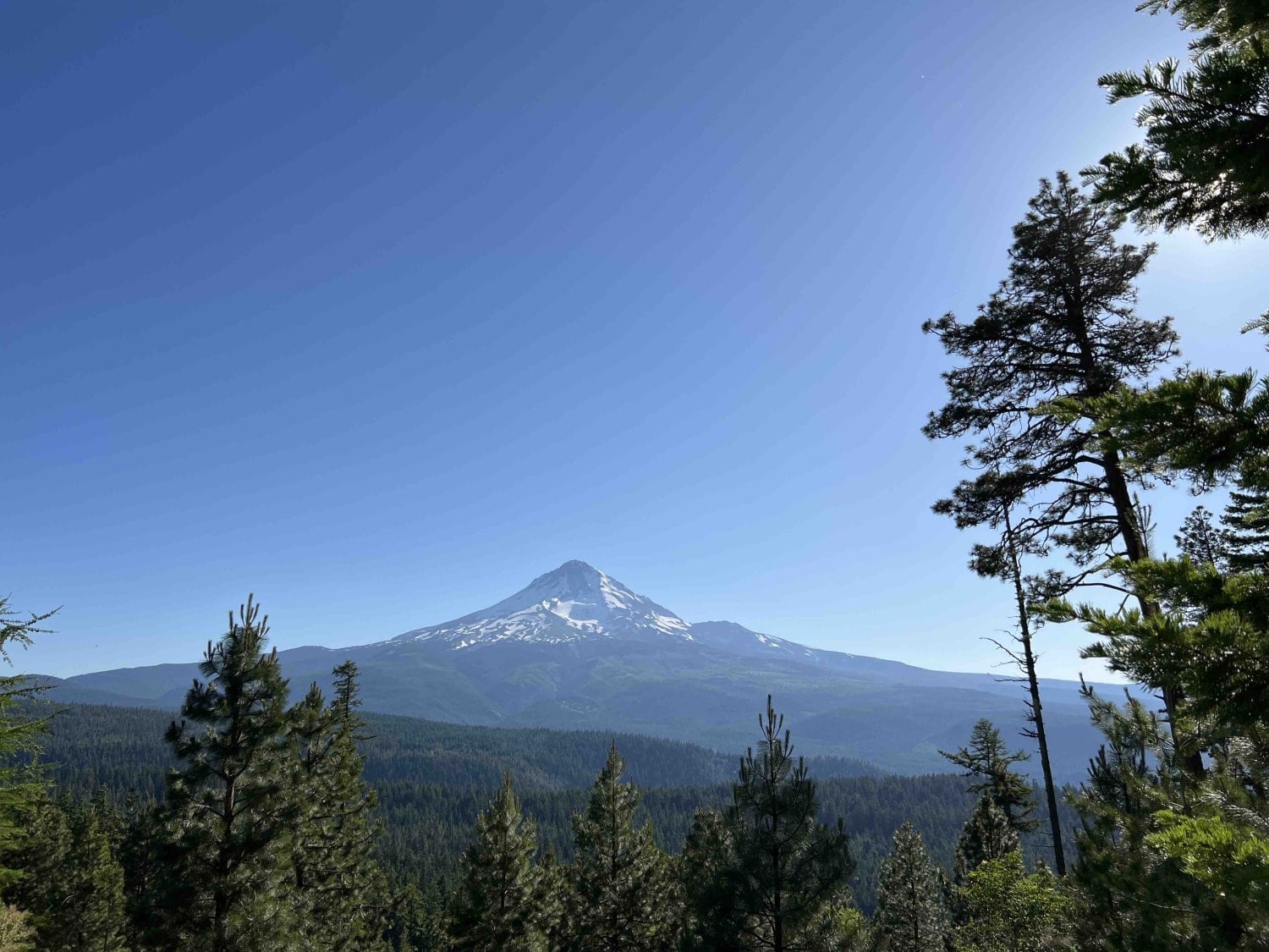
Forest Road 6350 is a connector trail from paved FR 46 (Clackamas River Highway) to several other trails in the area. It is a wide-open trail with a few washboarded sections - easy enough for 2WD. Along the route, you'll catch overlooks of the surrounding forest. Towards the Northwestern end of the trail, looking South, you'll see Mount Jefferson not too far away. Glance towards the Northeast and you may spot Mount Hood Peak as well. There are posted warning signs in regard to the burned area - be cautious in times of high winds and heavy rain. The area is unmaintained (closed) in the winter and early spring months. No cell service.
Photos of FR 6350 - Grahams Pass
Difficulty
The trail is a wide-open dirt road with a few washboarded sections, easy enough for 2WD and for two vehicles to pass one another.
FR 6350 - Grahams Pass can be accessed by the following ride types:
- High-Clearance 4x4
- SUV
- SxS (60")
- ATV (50")
- Dirt Bike
FR 6350 - Grahams Pass Map
Popular Trails
Three Forks Road South - BLM 6366-0-00

Millican Plateau OHV Trail 55

Long Prairie 17
The onX Offroad Difference
onX Offroad combines trail photos, descriptions, difficulty ratings, width restrictions, seasonality, and more in a user-friendly interface. Available on all devices, with offline access and full compatibility with CarPlay and Android Auto. Discover what you’re missing today!