Bobcat Cutoff Road
Total Miles
2.9
Technical Rating
Best Time
Spring, Summer, Fall
Trail Type
Full-Width Road
Accessible By
Trail Overview
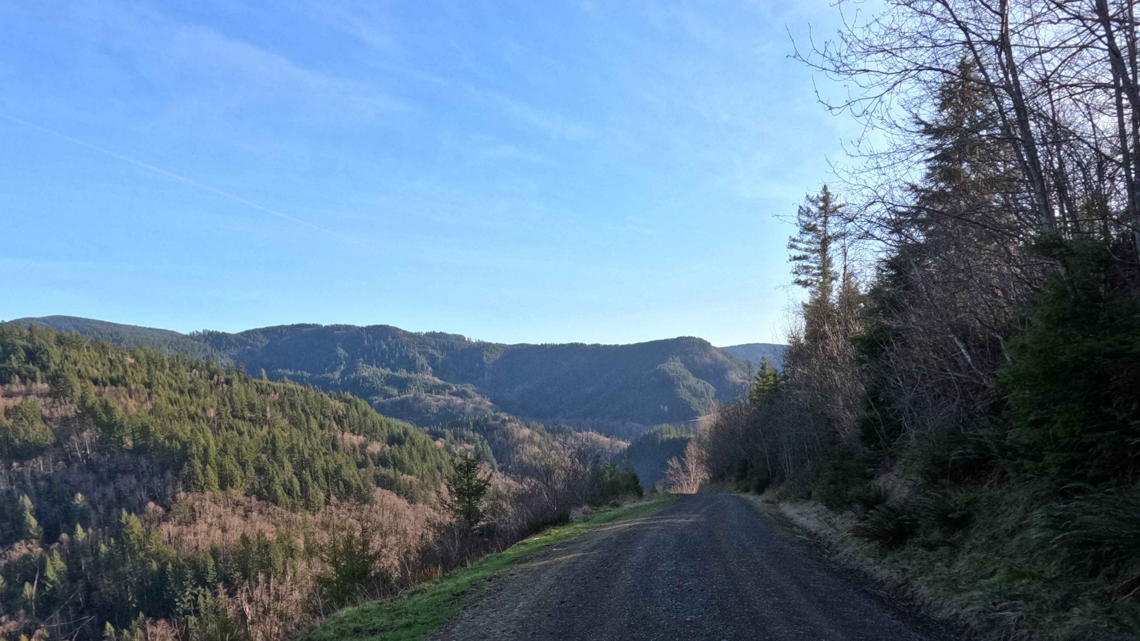
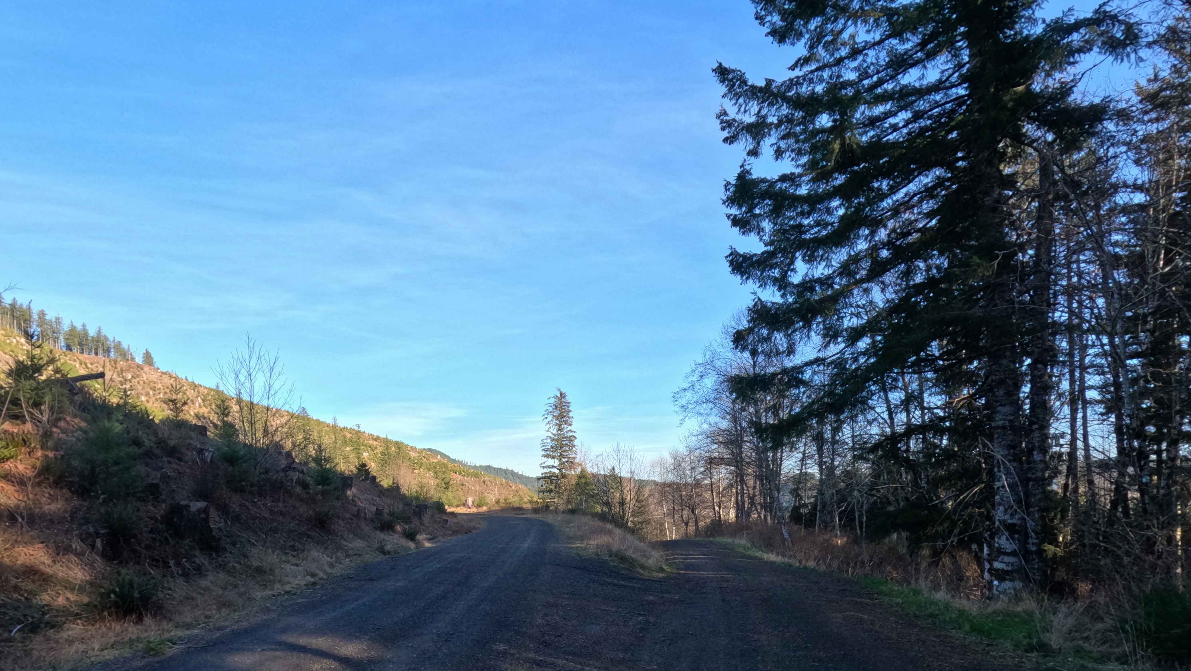
Plunging off the lofty elevations of Hembre Ridge, Bobcat Cutoff Road is a thrilling, gravity-fed 2.9-mile gravel descent that serves as a rapid shortcut down to the North Fork Trask River Road. This precipitous, single-lane forest service track weaves tightly through the rugged coastal mountains, characterized by a relentless series of sharp, plunging switchbacks. The environment dynamically transitions from dense, shadowed timber into vast, open harvest zones, offering fleeting glimpses of the steep valleys below. While the hard-packed gravel surface is generally well-maintained, the sheer, unrelenting grade of the descent commands absolute respect and intense driver focus. Furthermore, this tight corridor is heavily interwoven with the local off-road recreation network. A dedicated moto trail aggressively crisscrosses the road at multiple blind junctions, requiring drivers to remain hyper-vigilant for fast-moving dirt bikes suddenly emerging from the brush. With only occasional pullouts available to manage two-way traffic, this swift vertical drop is a memorable and demanding plunge into the Trask River basin.
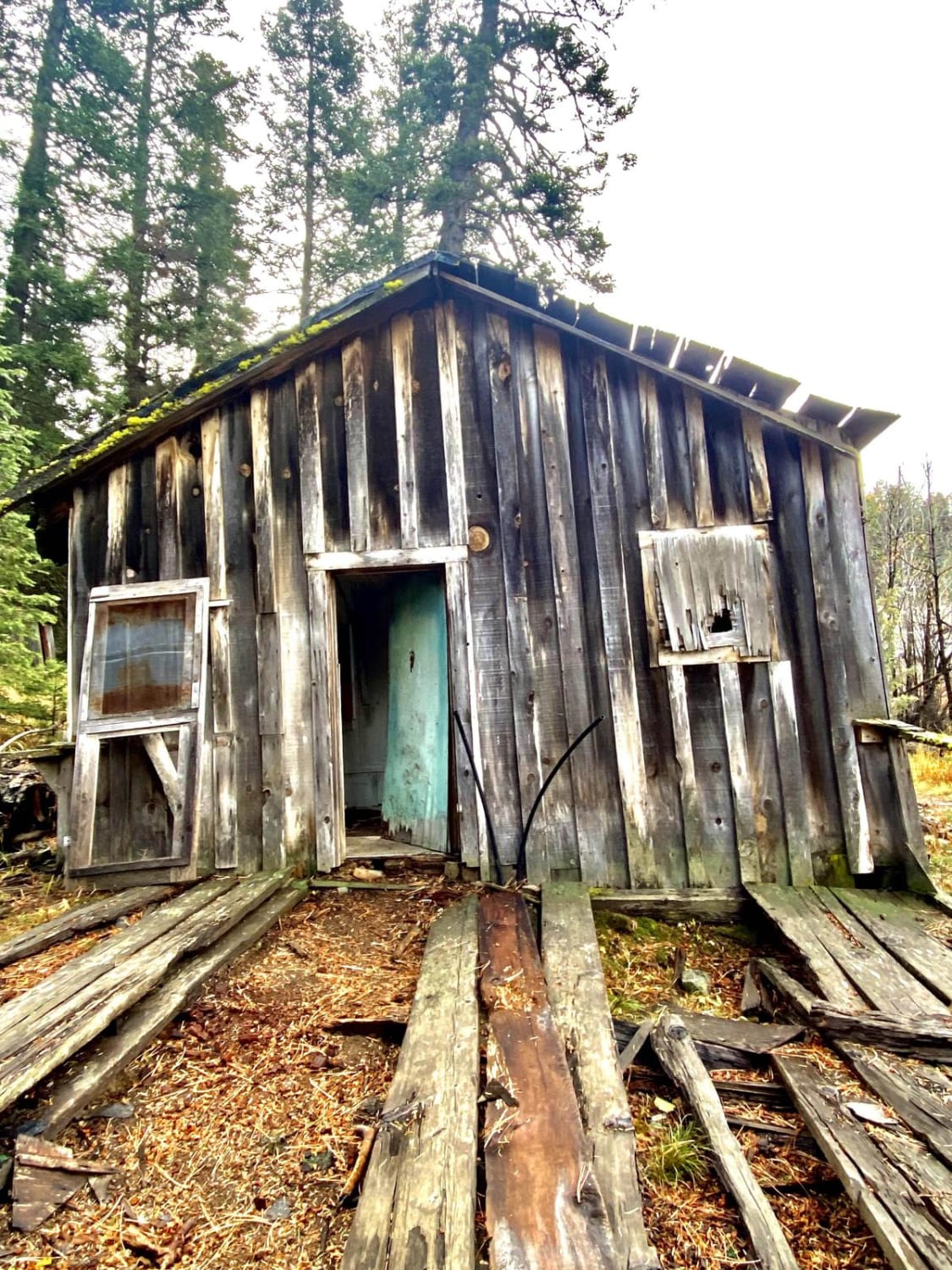
Photos of Bobcat Cutoff Road
Difficulty
While the gravel tread itself lacks aggressive rock obstacles or deep mud, Bobcat Cutoff earns a solid Level 2 rating strictly due to its severe, sustained steepness and tight, plunging switchbacks. This precipitous grade will prove highly intimidating and potentially hazardous for standard 2WD passenger cars, which risk rapid brake fade on the descent. For 4x4 vehicles and heavy overland rigs, engaging 4WD Low is strongly advised. Utilizing engine braking is critical to maintain a slow, controlled momentum, safely navigate the tight corners, and preserve your brake pads during the rapid drop in elevation.
Status Reports
Bobcat Cutoff Road can be accessed by the following ride types:
- High-Clearance 4x4
- SUV
Bobcat Cutoff Road Map
Popular Trails

Forest Road 4613-000
The onX Offroad Difference
onX Offroad combines trail photos, descriptions, difficulty ratings, width restrictions, seasonality, and more in a user-friendly interface. Available on all devices, with offline access and full compatibility with CarPlay and Android Auto. Discover what you’re missing today!