585
Total Miles
1.6
Technical Rating
Best Time
Summer, Spring, Fall
Trail Type
50" Trail
Accessible By
Trail Overview
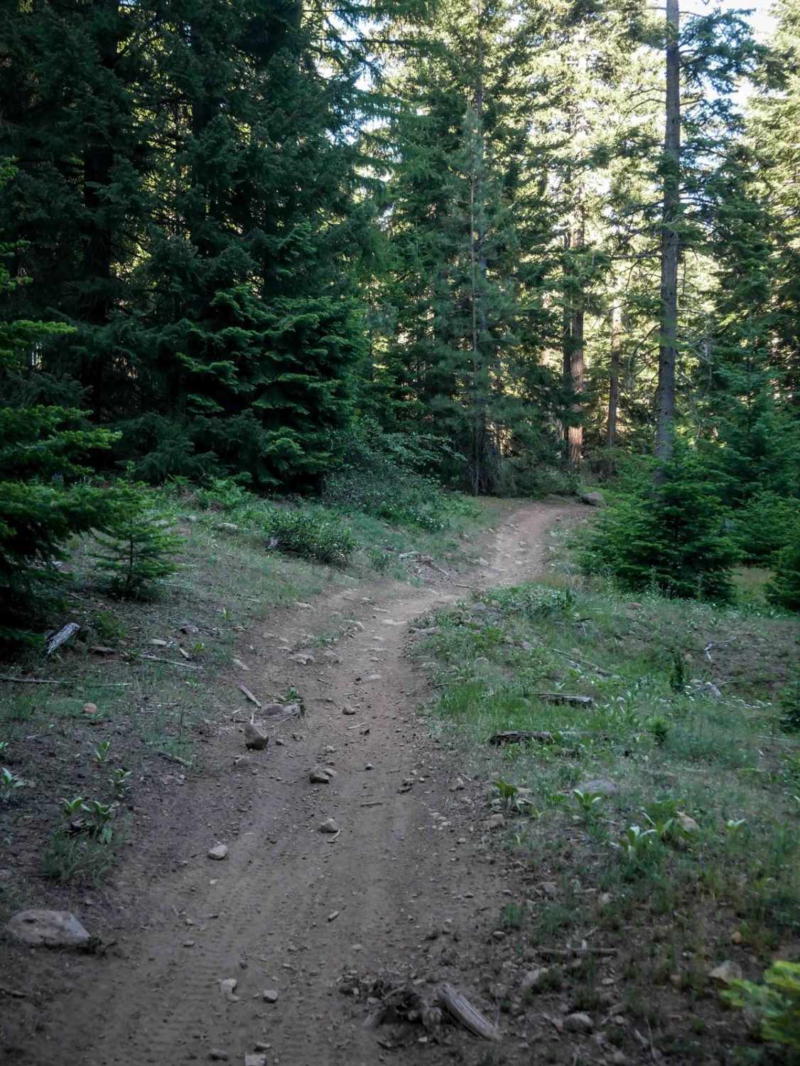
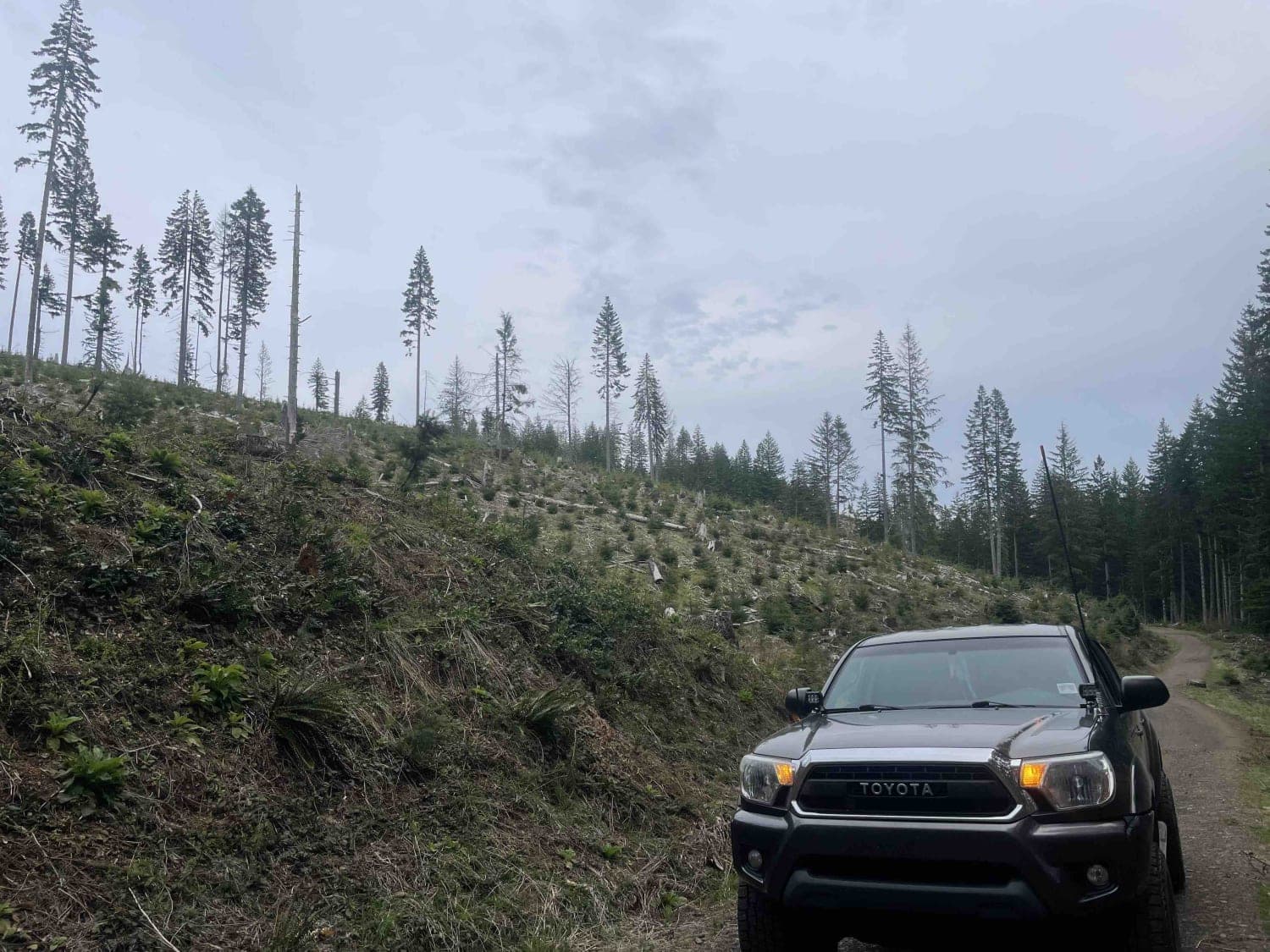
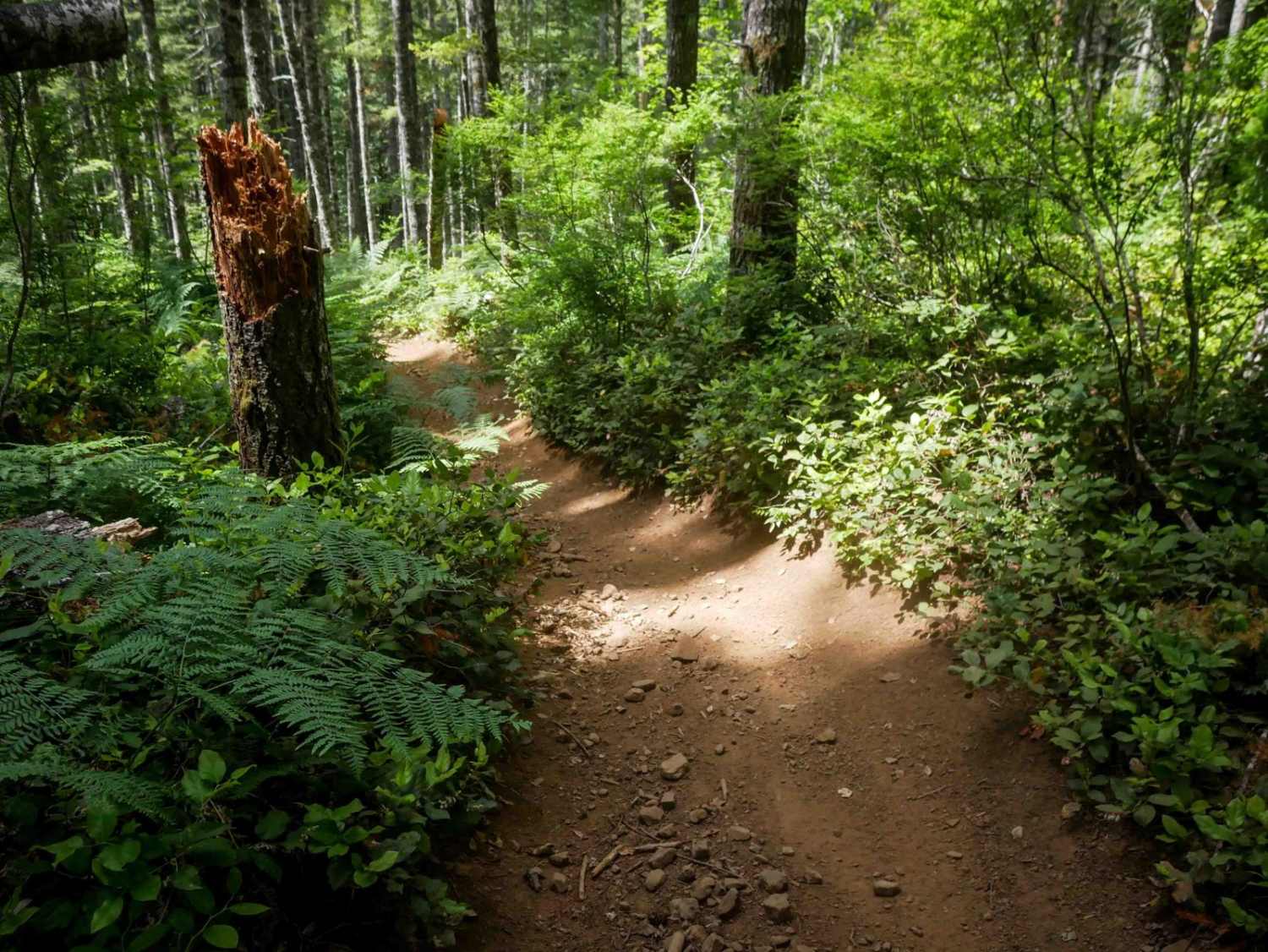
Trail 585 spans 1.6 miles and is characterized by a super curvy two-track layout through dense woods. It features a mix of embedded and loose rocks, large roots, and sharp curves, requiring careful navigation. The trail narrows in places, resembling single track, and includes several unmarked intersections and road crossings, making a map essential. Toward the east end, the trail follows a fence line with narrow, loose rocky sections and potential downed logs.
Photos of 585

Difficulty
This is an easy route with rocks and tight turns, and small, steep hills, but it is suitable for riders with basic off-roading skills.
Status Reports
585 can be accessed by the following ride types:
- ATV (50")
- Dirt Bike
585 Map
Popular Trails
Lousignot Road

Endless Prarie Road 697

Dovre Peak Bypass
Crooked Bridge #3
The onX Offroad Difference
onX Offroad combines trail photos, descriptions, difficulty ratings, width restrictions, seasonality, and more in a user-friendly interface. Available on all devices, with offline access and full compatibility with CarPlay and Android Auto. Discover what you’re missing today!