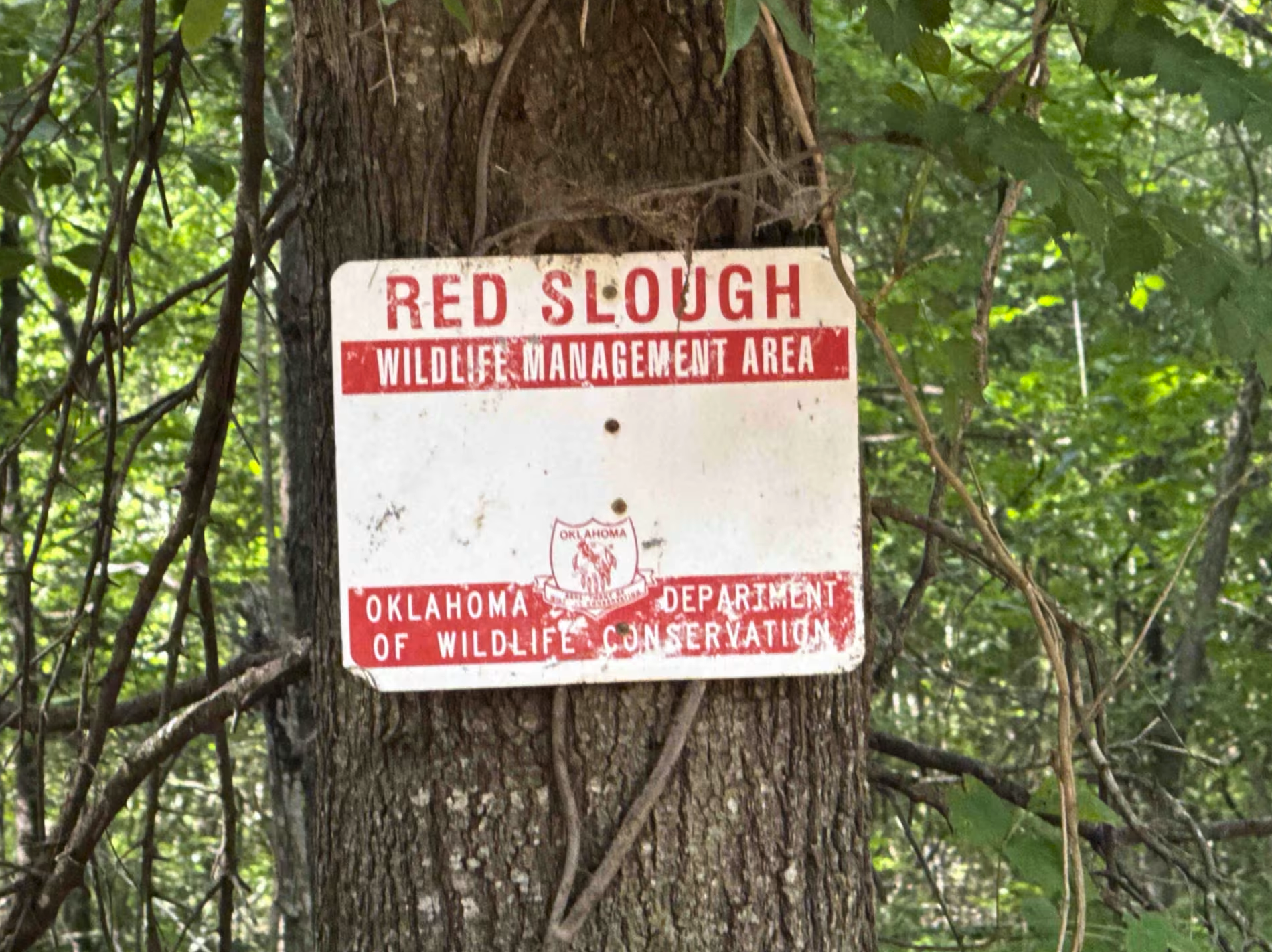
The Shaft
Total Miles
0.2
Technical Rating
Best Time
Winter, Fall, Summer, Spring
Trail Type
Full-Width Road
Accessible By
Trail Overview
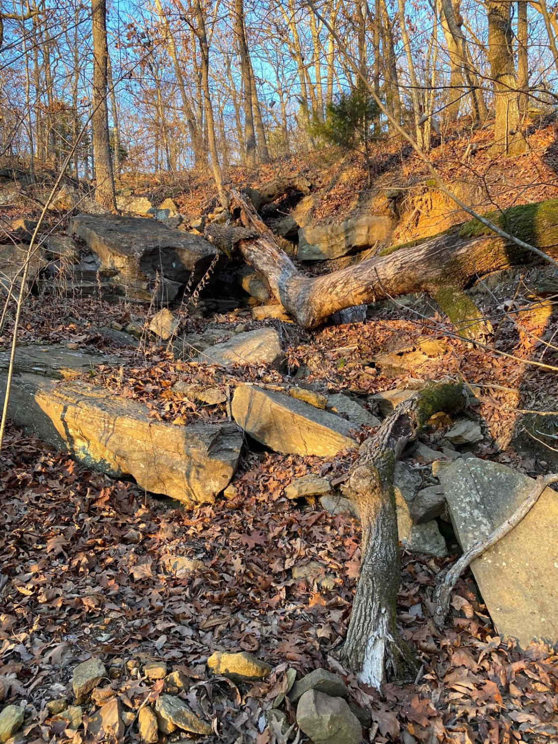
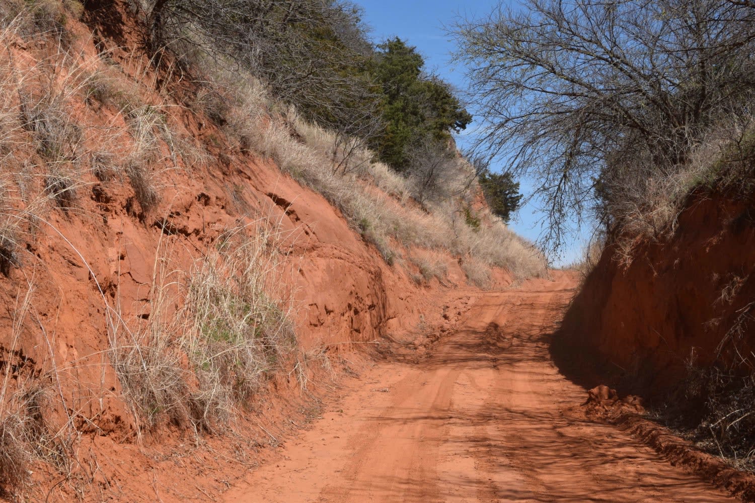
The shaft is a steep, rocky, loose trail with a waterfall-type ledge in the middle that is about 5-6 feet tall. The trail starts at the bottom of the creek, known as heartbreak ridge. Lockers, winches, and large tires 40s or larger are suggested. The trail ends back on the Gomer Pyle loop just west of the entrance to Heartbreak Ridge.
Photos of The Shaft

Difficulty
The trail is very steep and at the bottom of a wet weather creek. If you break or run into any problems, it's going to be a long recovery; trail is suggested for large tire rigs with lockers and a winch.
Status Reports
The Shaft can be accessed by the following ride types:
- High-Clearance 4x4
- SUV
- SxS (60")
- ATV (50")
- Dirt Bike
The Shaft Map
Popular Trails

Cedar Creek Trail
Sugar Creek Loop

Jeff's Trail
The onX Offroad Difference
onX Offroad combines trail photos, descriptions, difficulty ratings, width restrictions, seasonality, and more in a user-friendly interface. Available on all devices, with offline access and full compatibility with CarPlay and Android Auto. Discover what you’re missing today!