South Burnt Cabin Road - Northern Portion
Total Miles
7.1
Technical Rating
Best Time
Summer, Winter, Fall, Spring
Trail Type
Full-Width Road
Accessible By
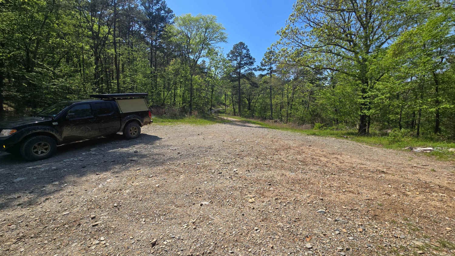
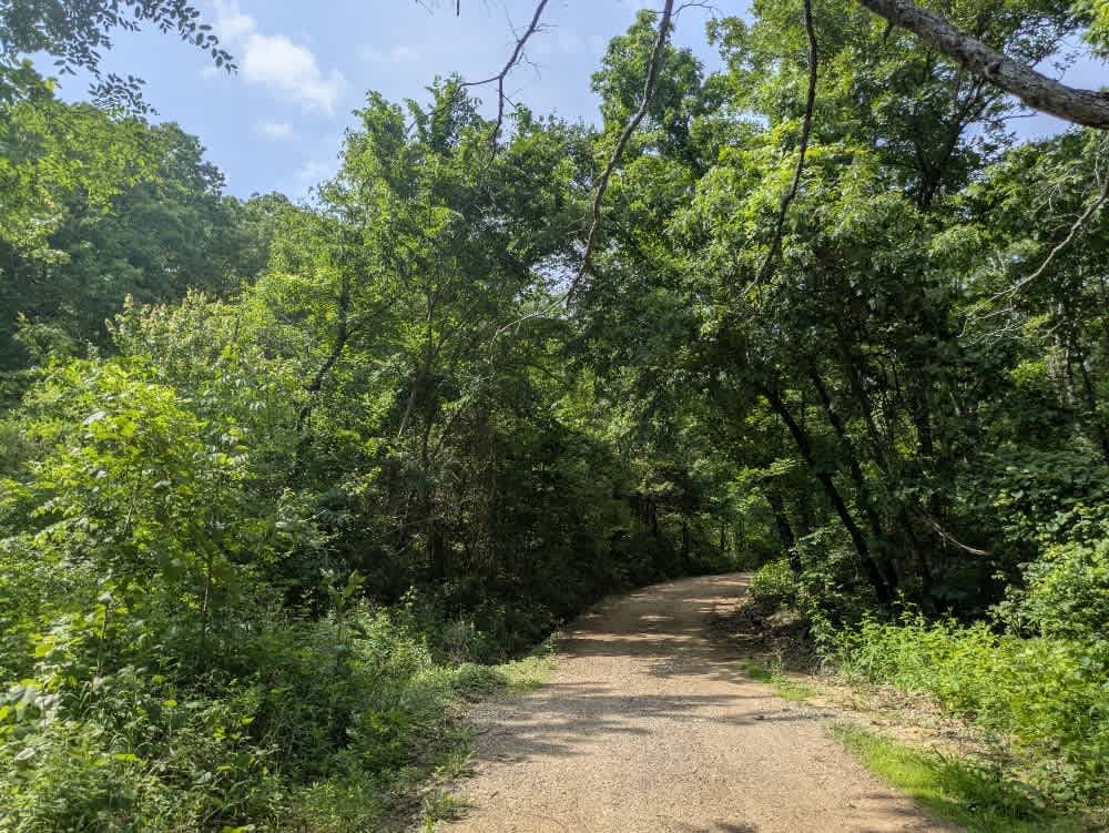
Trail Overview
The South Burnt Cabin Road runs through the Wildlife Management Area, shifting in character as you travel it. The approaches at either end are gravel, generally smooth but dotted with potholes that keep speeds low. Around the mid-point, the surface turns into soft, sticky mud on a shady incline--conditions we encountered in May 2025--that can leave lesser vehicles scrambling for traction. A wide creek interrupts the route where a concrete bridge once stood; storms tore it away, and the current bypass requires a ford beside the ruins. When we crossed, the water was waist-deep in places and the riverbed noticeably off-camber, so careful wheel placement is essential, and careful consideration of the conditions should be made before attempting to cross. Simple campsites sit near the WMA administration compound and offer only basic toilets. Bring your own water, pack out trash, and check the OnX app beforehand, as cell coverage is patchy.
Photos of South Burnt Cabin Road - Northern Portion


Difficulty
This trail is maintained throughout the year and is used by hunters and rangers on a regular basis.
History
Cherokee Wildlife Management Area occupies more than 31,000 acres of rolling oak-hickory hills, meadows, and pond-dotted creek bottoms in southwestern Cherokee County. The property is split almost evenly between a 16,000-acre Public Hunting Area that stays open for statewide seasons and a 15,360-acre Game Management Area reserved mainly for controlled hunts, allowing wildlife managers to balance public access with habitat protection.
Status Reports
South Burnt Cabin Road - Northern Portion can be accessed by the following ride types:
- High-Clearance 4x4
- SUV
South Burnt Cabin Road - Northern Portion Map
Popular Trails
Bee Creek Trail


The onX Offroad Difference
onX Offroad combines trail photos, descriptions, difficulty ratings, width restrictions, seasonality, and more in a user-friendly interface. Available on all devices, with offline access and full compatibility with CarPlay and Android Auto. Discover what you’re missing today!