South 490
Total Miles
2.8
Technical Rating
Best Time
Fall, Winter, Summer, Spring
Trail Type
Full-Width Road
Accessible By
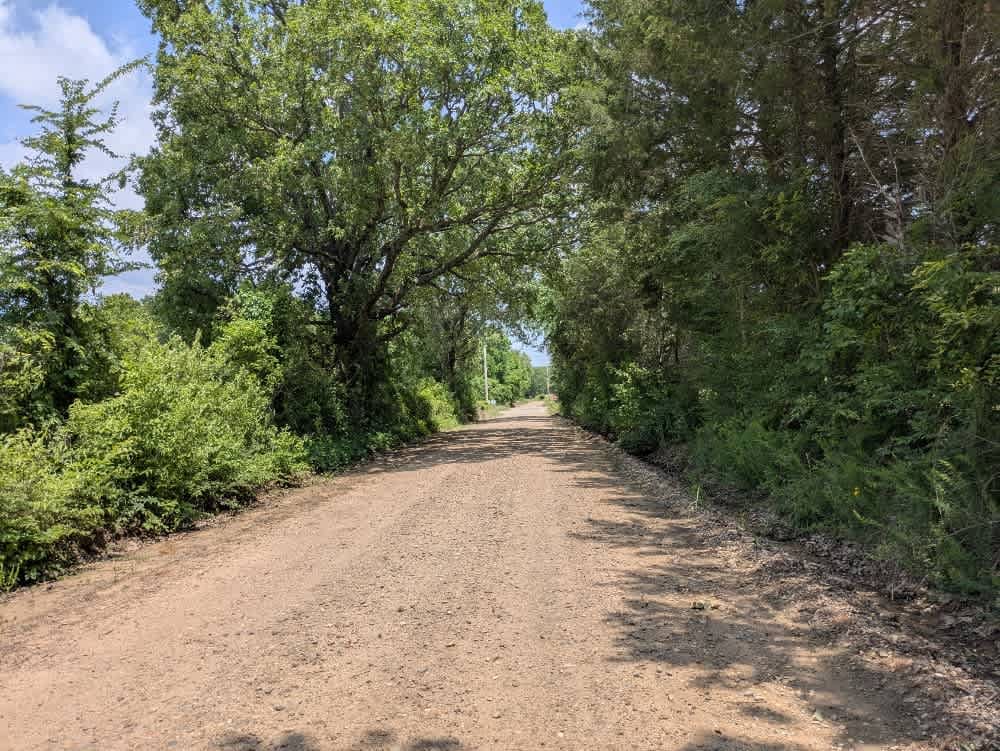
Trail Overview
The trail is part of the Oklahoma Adventure Trail and eases you in with smooth pavement before switching to hard-packed gravel and finally loosening into a softer, if still well-kept, surface. Late-May storms have left it soggy and scarred by minor water run-offs, so keep an eye out for ruts and puddles, though nothing is truly gnarly. The route meanders through picture-perfect farmland, its tight, shaded bends hiding more local traffic than you might expect, so take it slow and enjoy the view. You will not come across campsites, trash bins, or drinking water, and phone bars flicker in and out; load your OnX maps ahead of time for cell reception.
Photos of South 490


Difficulty
The trail is well-maintained and routinely graded to support a range of local use, from daily agricultural traffic by farmers to occasional travelers and outdoor enthusiasts passing through the area. Its good condition makes it easily accessible and reliable for all types of vehicles.
History
The Oklahoma Adventure Trail is a unique and ever-changing route that crosses through the state and allows visitors to avoid major roads and towns. Created by two Oklahomans and contributed to by numerous more, this trail is 70 percent dirt roads and 30 percent paved, and takes riders and hikers through scenic, historical, and diverse regions throughout Oklahoma.
Status Reports
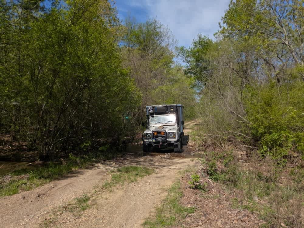
South 490 can be accessed by the following ride types:
- High-Clearance 4x4
- SUV
South 490 Map
Popular Trails

Disappointment

Unit Management Road
The onX Offroad Difference
onX Offroad combines trail photos, descriptions, difficulty ratings, width restrictions, seasonality, and more in a user-friendly interface. Available on all devices, with offline access and full compatibility with CarPlay and Android Auto. Discover what you’re missing today!