Hay Field
Total Miles
0.9
Technical Rating
Best Time
Spring, Summer, Fall, Winter
Trail Type
Full-Width Road
Accessible By
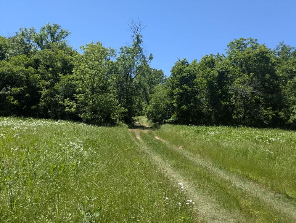
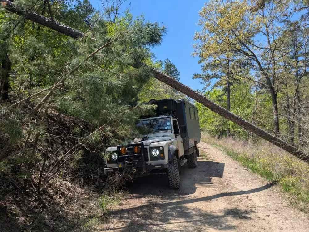
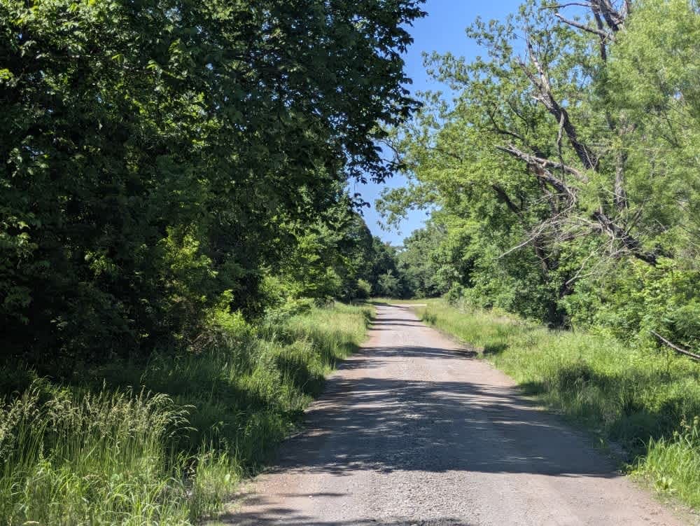
Trail Overview
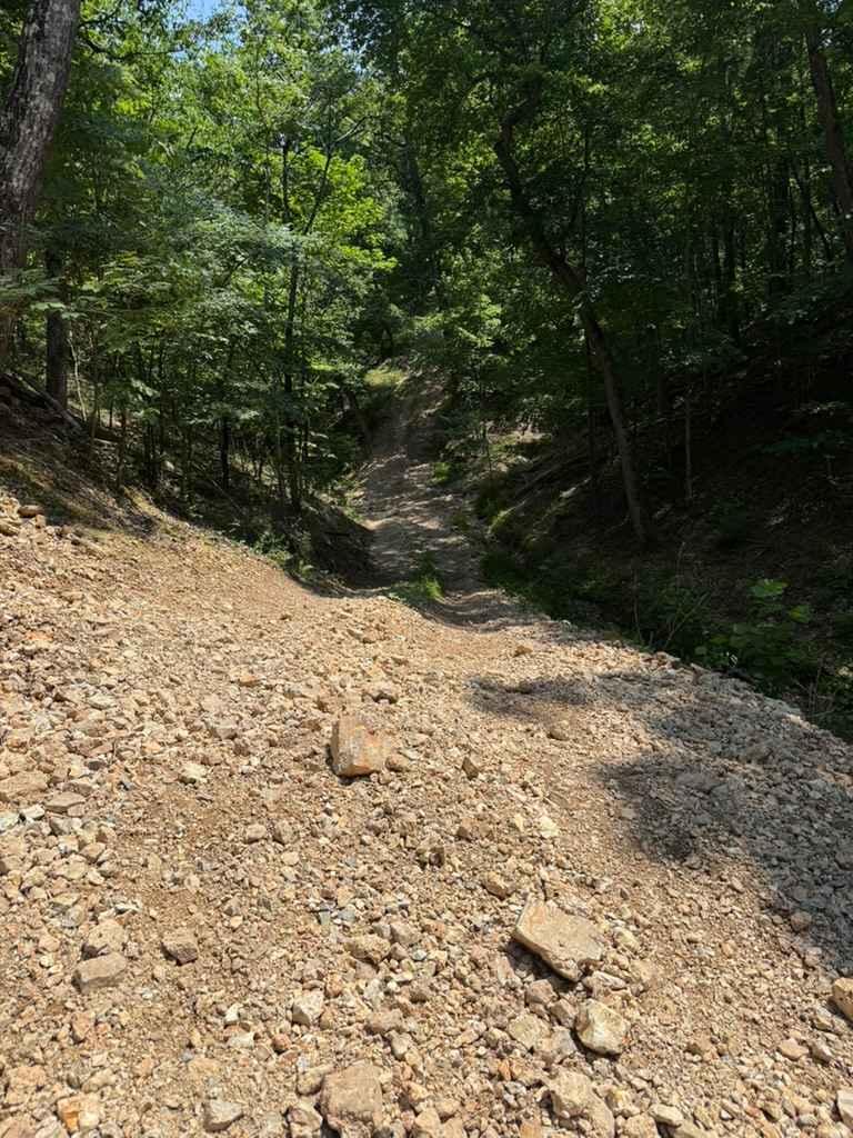
This trail is consistently muddy and may present a challenge for some vehicles, especially in the deeper sections. It's largely unmaintained, with rough, rocky stretches that add to the difficulty. As you approach the large creek crossing, the trail narrows and becomes more overgrown, and the mud intensifies. Fortunately, there's a wide field just before the crossing where drivers can turn around if they prefer to avoid the risk of getting stuck. There are no campsites along the route, and amenities like water and trash disposal are not available. Cell service is spotty, so it's a good idea to consult the OnX app before heading out.
Photos of Hay Field

Difficulty
This is an unmaintained trail that is muddy but has rough and rocky sections, and the trail becomes more overgrown.
History
Cherokee Wildlife Management Area occupies more than 31,000 acres of rolling oak-hickory hills, meadows, and pond-dotted creek bottoms in southwestern Cherokee County. The property is split almost evenly between a 16,000-acre Public Hunting Area that stays open for statewide seasons and a 15,360-acre Game Management Area reserved mainly for controlled hunts, allowing wildlife managers to balance public access with habitat protection.
Status Reports
Hay Field can be accessed by the following ride types:
- High-Clearance 4x4
- SUV
Hay Field Map
Popular Trails
Abby's Trail
The onX Offroad Difference
onX Offroad combines trail photos, descriptions, difficulty ratings, width restrictions, seasonality, and more in a user-friendly interface. Available on all devices, with offline access and full compatibility with CarPlay and Android Auto. Discover what you’re missing today!