D4747
Total Miles
2.5
Technical Rating
Best Time
Spring, Summer, Fall, Winter
Trail Type
Full-Width Road
Accessible By
Trail Overview
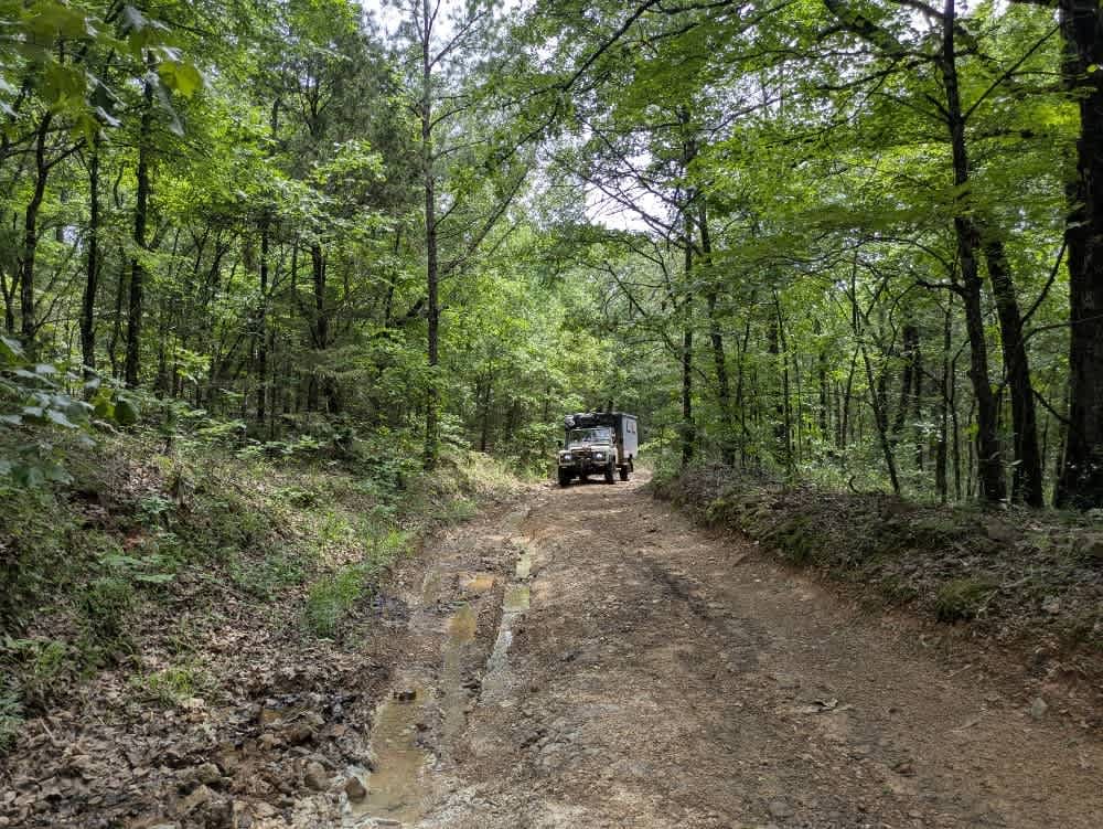
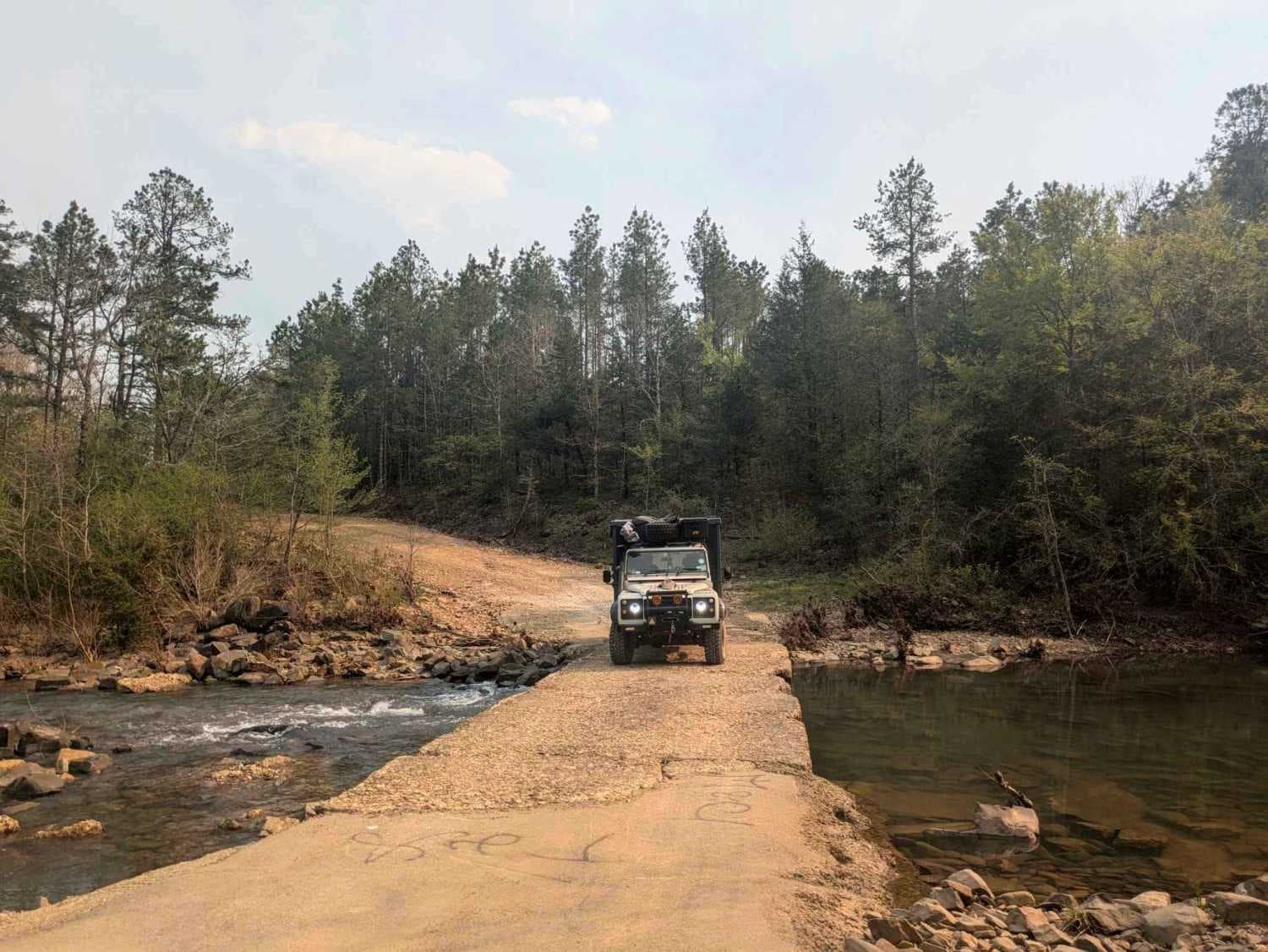
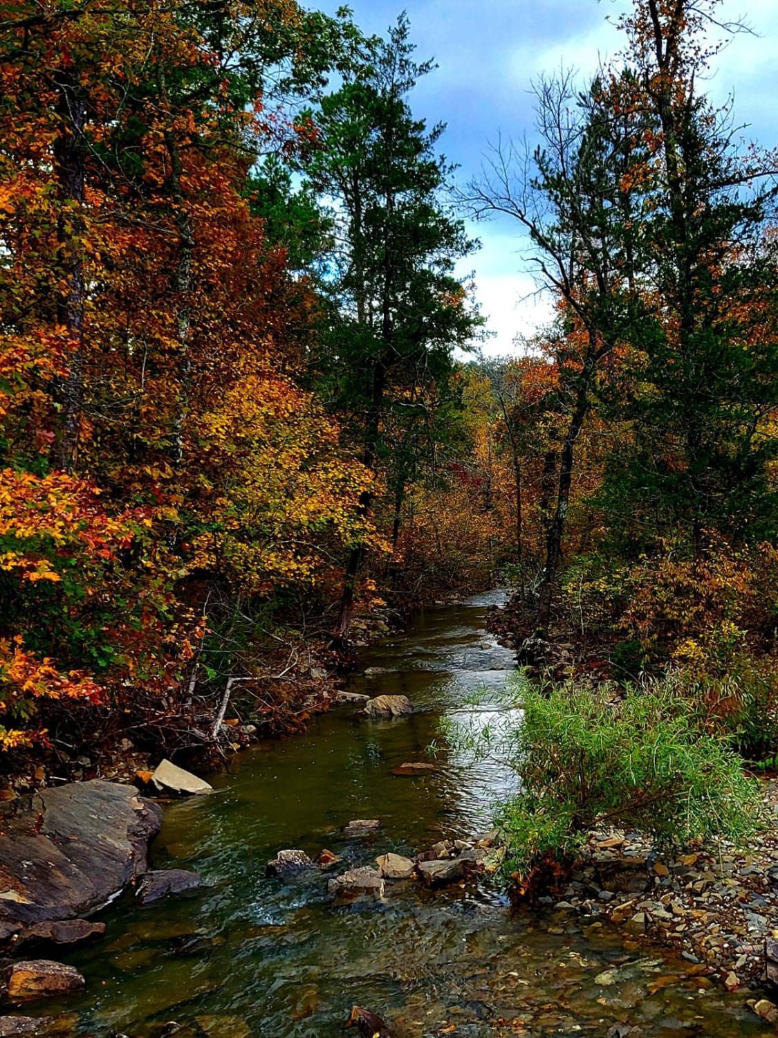
The drive begins on smooth, well-graded gravel that carries you to a broad submerged bridge, but the moment you cross the river, the trail's tone changes. It narrows, brush leans in, and the surface breaks into muddy ruts, loose rocks, and steep pitches that force a slow crawl toward the 1,700-foot ridgeline-- the roughest stretch of the Oklahoma Adventure Trail. A weather-beaten property perches along the route, yet wheel tracks suggest the only regular visitors are teenagers on quad bikes;we met three on our way up. Keep a close eye on spring forecasts, as April and May storms can render the route impassable in short order. A few level clearings might serve for a dispersed camp, but there are no formal sites, no bins, no water taps, and cell reception fades quickly, so confirm coverage on your onX map before committing.
Photos of D4747
Difficulty
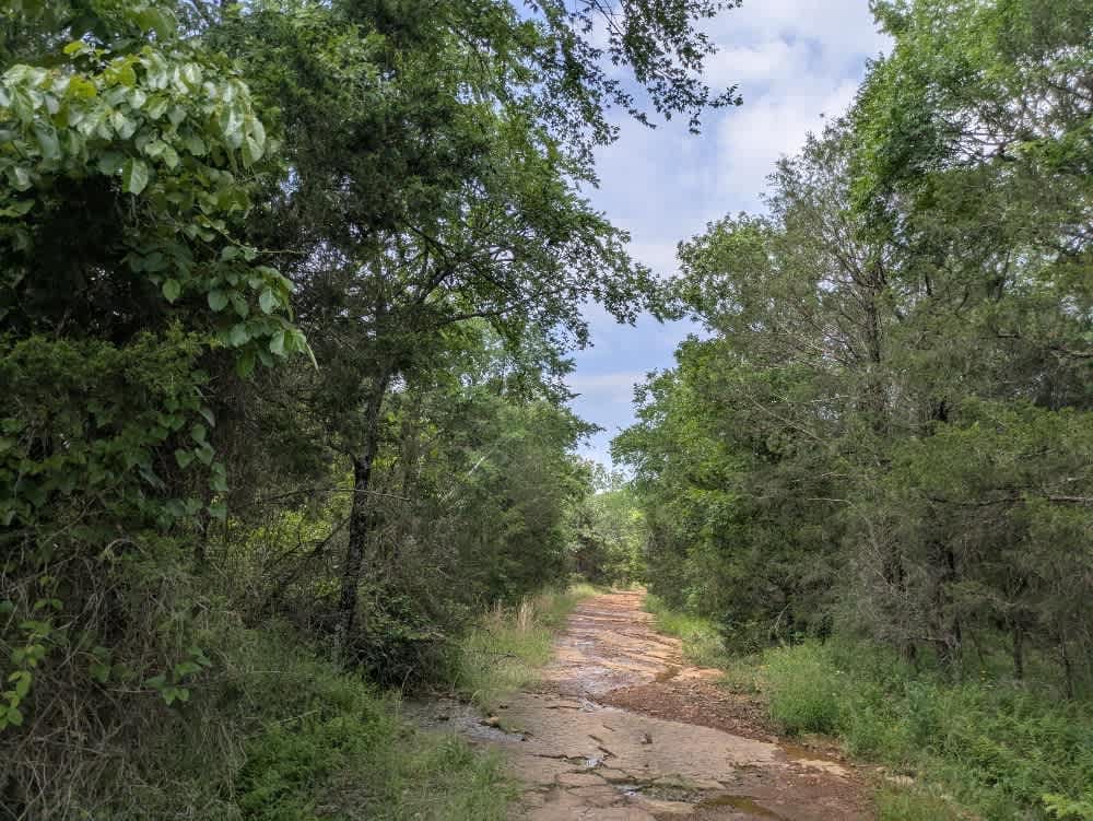
The trail is well-maintained at the start of the trail, but progresses into something a little more adventurous.
History
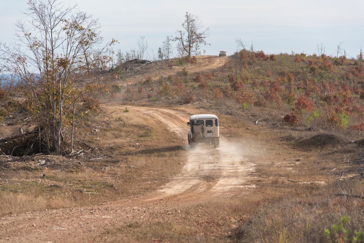
The Oklahoma Adventure Trail unfolds as a patchwork of county lanes, forest roads, and forgotten byways that knit together the state's eastern hills and river bottoms into a single, meandering drive. Much of the route drifts across loose-gravel farm tracks where washboard sections, shallow potholes, and the odd stretch of corrugations keep the steering wheel busy. In pasture country, the trail often threads between tidy homesteads and hayfields, so pickups, tractors, wandering livestock, and even the occasional basketball game at a roadside hoop are part of the scenery. Water is a recurring companion, whether a broad, submerged bridge that leads into a rough ascent, or the shaded creek crossings where turtles and snakes warm themselves on the verge, and spring storms can turn those crossings into obstacles in a matter of hours.
Status Reports
D4747 can be accessed by the following ride types:
- High-Clearance 4x4
- SUV
D4747 Map
Popular Trails
Honobia Creek Scenic Route
Lim Due Road

Bunker Hill
Cedar Creek Trail
The onX Offroad Difference
onX Offroad combines trail photos, descriptions, difficulty ratings, width restrictions, seasonality, and more in a user-friendly interface. Available on all devices, with offline access and full compatibility with CarPlay and Android Auto. Discover what you’re missing today!