D1059
Total Miles
0.7
Technical Rating
Best Time
Spring, Summer, Fall, Winter
Trail Type
Full-Width Road
Accessible By
Trail Overview
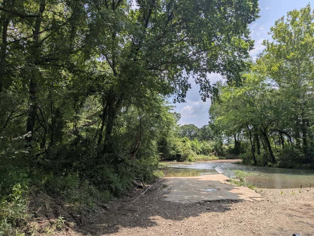
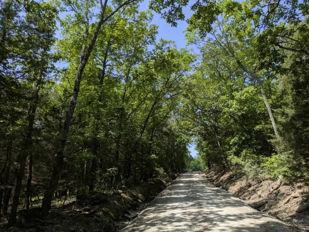
The drive slips beneath a leafy canopy, crunching over tidy gravel as it skirts a postcard-worthy farmhouse and drifts downhill toward a broad river. Most days, the crossing is little more than a gentle splash, but after a hard rain, the current pushes higher and quicker, so easing in with caution is smart. Beyond the water, the road curls through more forest, humming along in a rhythm that invites unhurried exploration. Despite the inviting scenery, there is nowhere to pitch a tent or empty a trash bag, and you will not find a handy spigot either. Cell reception fades in the trees, so checking coverage on your onX map before rolling out is wise.
Photos of D1059

Difficulty
The trail is well-maintained and routinely graded to support a range of local use, from daily agricultural traffic by farmers to occasional travelers and outdoor enthusiasts passing through the area. Its good condition makes it easily accessible and reliable for all types of vehicles.
History
The Oklahoma Adventure Trail unfolds as a patchwork of county lanes, forest roads, and forgotten byways that knit together the state's eastern hills and river bottoms into a single, meandering drive. Much of the route drifts across loose-gravel farm tracks where washboard sections, shallow potholes, and the odd stretch of corrugations keep the steering wheel busy. In pasture country, the trail often threads between tidy homesteads and hayfields, so pickups, tractors, wandering livestock, and even the occasional basketball game at a roadside hoop are part of the scenery. Water is a recurring companion, whether a broad, submerged bridge that leads into a rough ascent, or the shaded creek crossings where turtles and snakes warm themselves on the verge, and spring storms can turn those crossings into obstacles in a matter of hours.
Status Reports
D1059 can be accessed by the following ride types:
- High-Clearance 4x4
- SUV
D1059 Map
Popular Trails


Stella's Entrance

The onX Offroad Difference
onX Offroad combines trail photos, descriptions, difficulty ratings, width restrictions, seasonality, and more in a user-friendly interface. Available on all devices, with offline access and full compatibility with CarPlay and Android Auto. Discover what you’re missing today!