50297
Total Miles
1.3
Technical Rating
Best Time
Spring, Summer, Fall, Winter
Trail Type
Full-Width Road
Accessible By
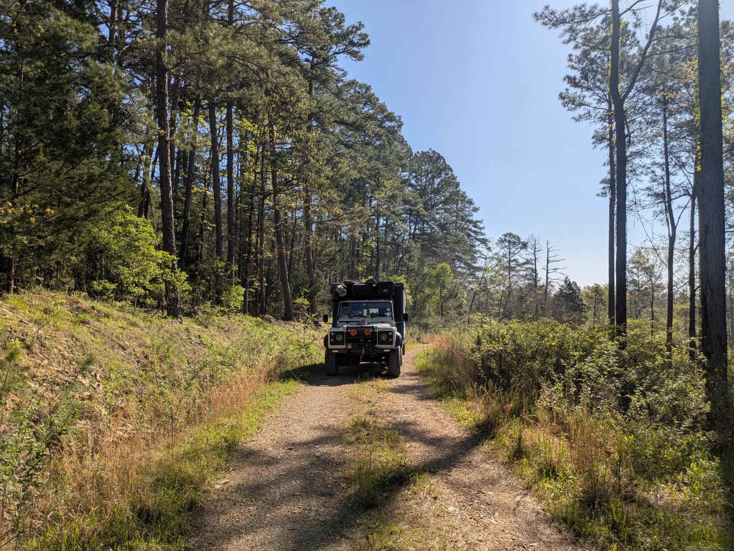
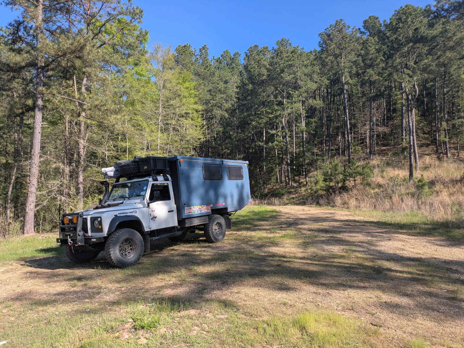
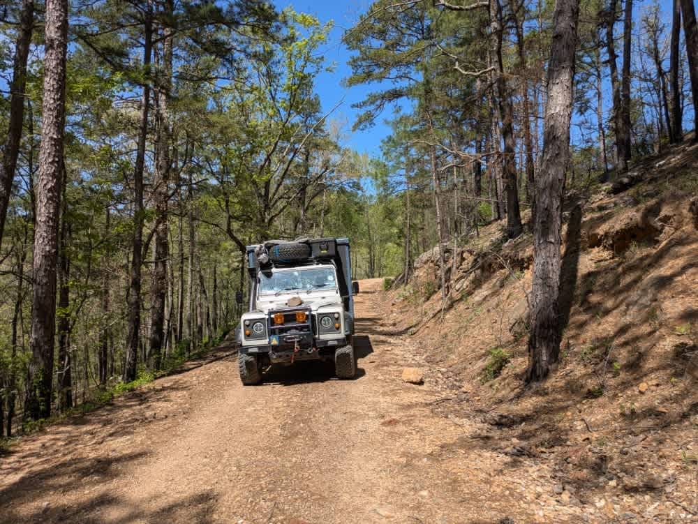
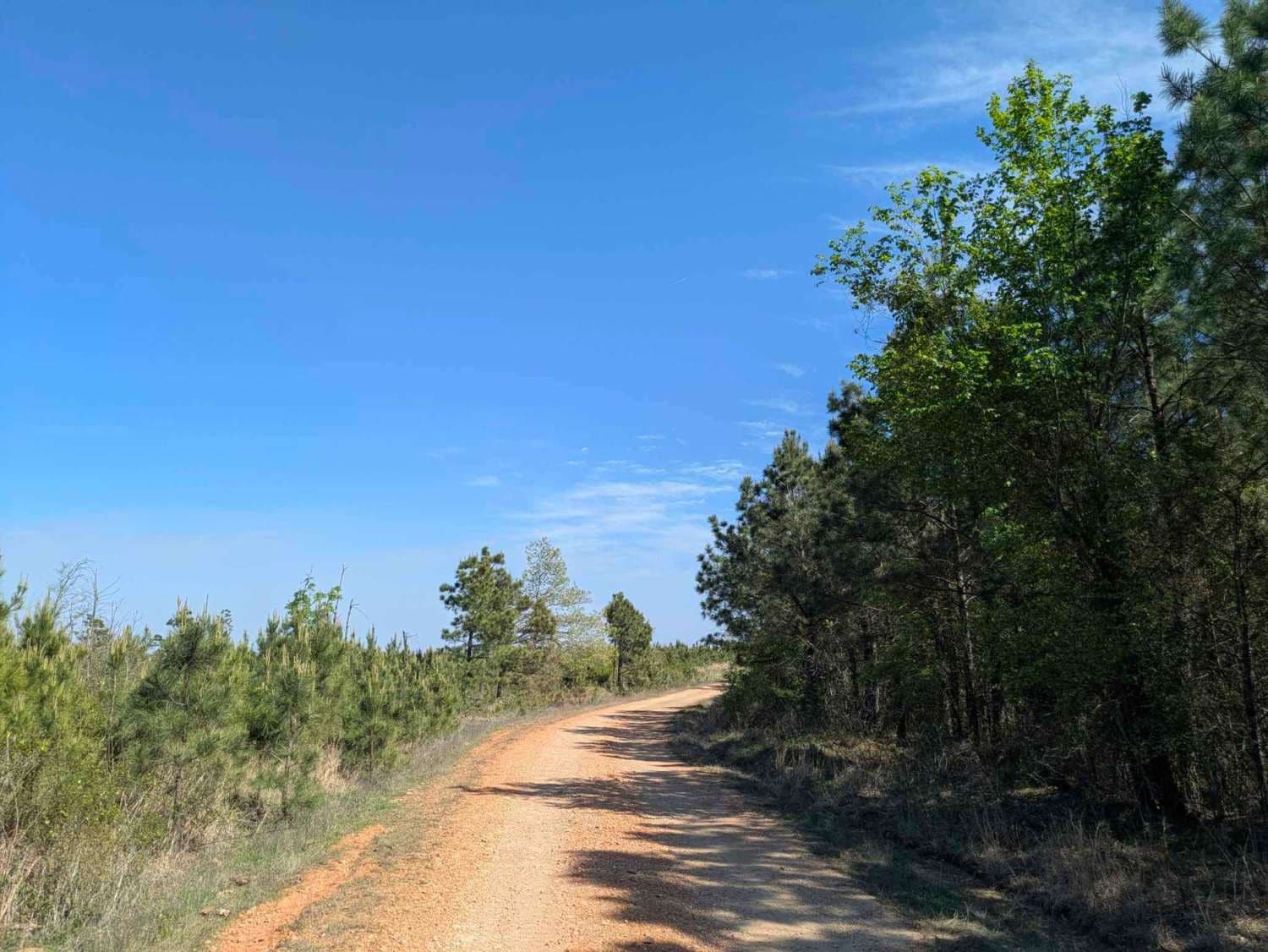
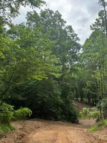
Trail Overview
Although this trail is short, it is certainly worth exploring. It is a narrow, winding, and rocky route that remains a pleasant drive for most vehicles as it cuts through a dense forest. The trail eventually comes to a dead end that offers an ideal spot for a lengthy picnic, surrounded by nature and abundant birdlife. While a moderate amount of traffic is present, the overall atmosphere is quiet and private, enhancing the sense of seclusion. Although there may be a few dispersed campsites along the way, the route lacks amenities such as trash disposal and water supply, and cell service is limited.
Photos of 50297
Difficulty
Well-maintained trail without any difficult obstacles.
History
The Ouachita National Forest was established in 1907, making it the oldest national forest in the South. Long before that, Native American tribes like the Caddo and Choctaw lived and traveled through these mountains. In the late 1800s, settlers arrived for logging and mining, but concerns about preserving the land led to federal protection. Today, the forest covers over 1.8 million acres across Arkansas and Oklahoma. With its rugged ridges, clear streams, and diverse wildlife, the Ouachita remains a place where nature and history meet--and every trail tells part of the story.
Status Reports
50297 can be accessed by the following ride types:
- High-Clearance 4x4
- SUV
- SxS (60")
- ATV (50")
- Dirt Bike
50297 Map
Popular Trails
Mimi's Trail
The onX Offroad Difference
onX Offroad combines trail photos, descriptions, difficulty ratings, width restrictions, seasonality, and more in a user-friendly interface. Available on all devices, with offline access and full compatibility with CarPlay and Android Auto. Discover what you’re missing today!