4201
Total Miles
6.4
Technical Rating
Best Time
Summer, Winter, Spring, Fall
Trail Type
Full-Width Road
Accessible By
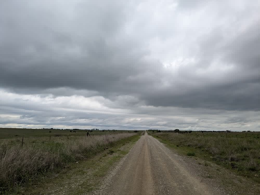
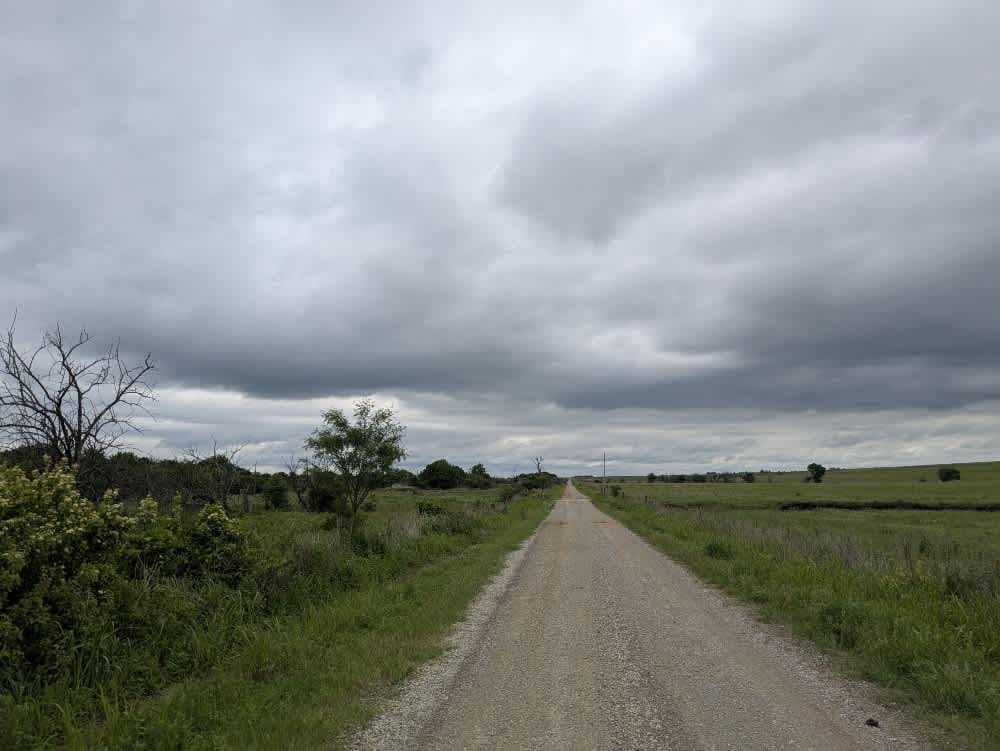
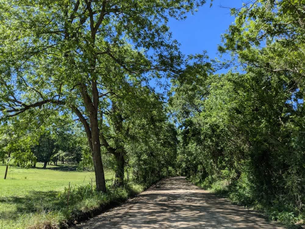
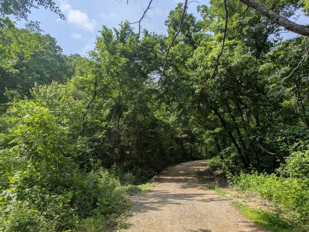
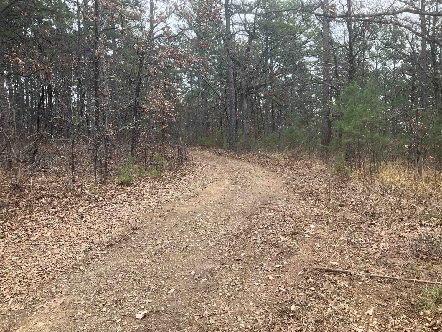
Trail Overview
This back road is a shade narrower than the surrounding routes, but its loose-gravel surface stays smooth primarily, broken only by the odd stretch of washboard or a stray pothole. It slips past a lone farmhouse--slow down for the residents--where a wide river slides beneath a sturdy concrete bridge. Livestock graze freely, and cattle often wander onto the track, so keep your eyes up around the bends. There are no official or dispersed campsites, trash bins, or water taps, though your cell signal should remain steady; check onX before you roll out.
Photos of 4201
Difficulty
This road consists primarily of well-maintained county gravel roads and rural connectors running through the eastern edge of the Flint Hills. Roads are graded regularly, wide enough for two vehicles to pass, and suitable for all high-clearance vehicles and most passenger vehicles in dry conditions.
History
This route traces the historic heartland of the Flint Hills, a region that has remained largely untouched by modern agriculture due to its shallow, rocky soils--making it one of the last strongholds of North America's tallgrass prairie. The trails crosses land with deep cultural roots--from Native American hunting grounds to working cattle ranches. Expect long views over tallgrass prairie, passing ghost towns, century-old barns, and scenic byways that have carried generations of ranchers and travelers alike.
Status Reports
4201 can be accessed by the following ride types:
- High-Clearance 4x4
- SUV
4201 Map
Popular Trails
Lookout Access Trail
Tower Trail
The onX Offroad Difference
onX Offroad combines trail photos, descriptions, difficulty ratings, width restrictions, seasonality, and more in a user-friendly interface. Available on all devices, with offline access and full compatibility with CarPlay and Android Auto. Discover what you’re missing today!