24130
Total Miles
0.6
Technical Rating
Best Time
Spring, Summer, Fall, Winter
Trail Type
Full-Width Road
Accessible By
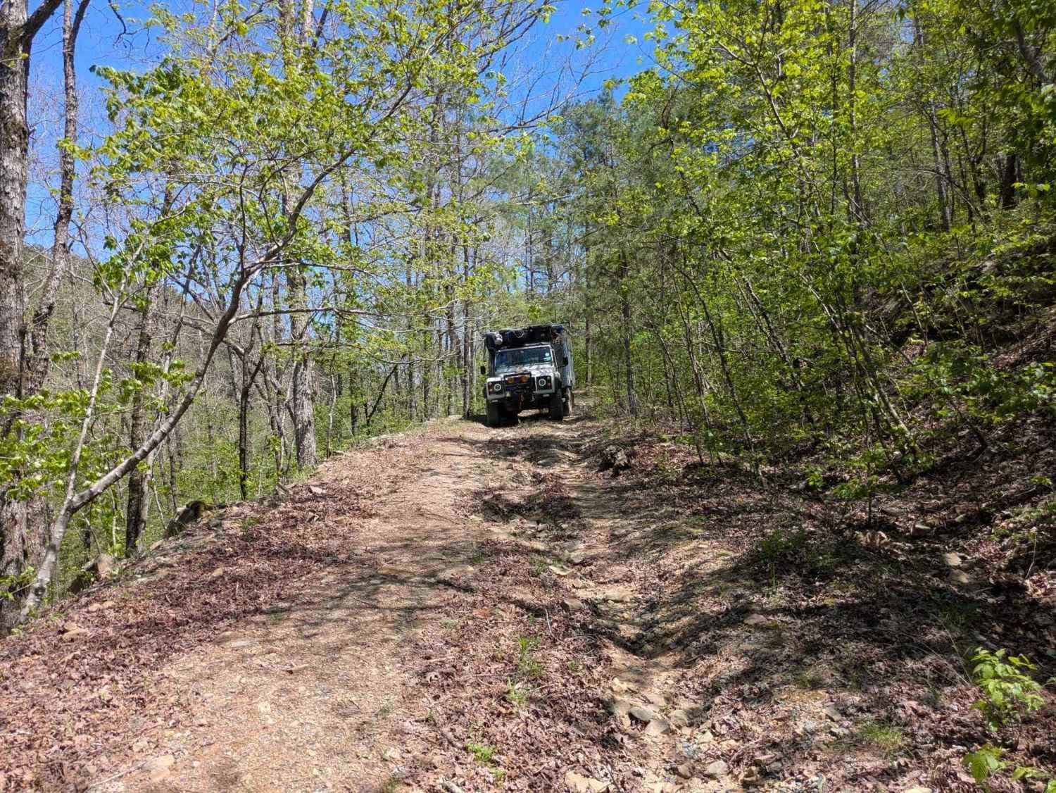
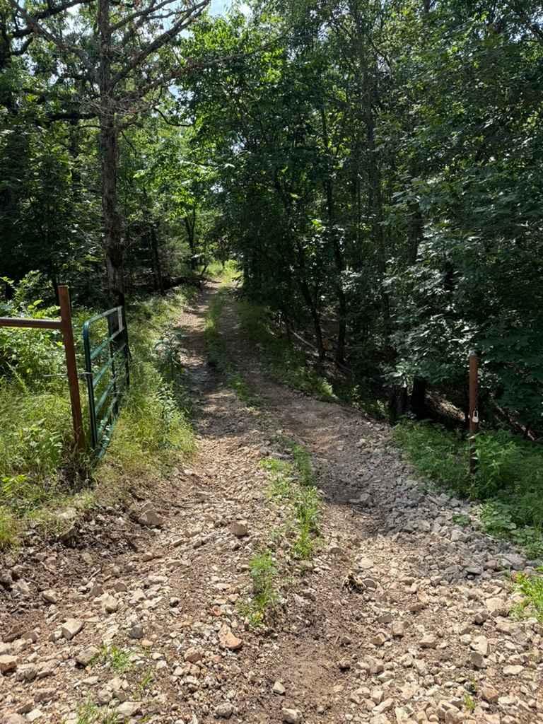
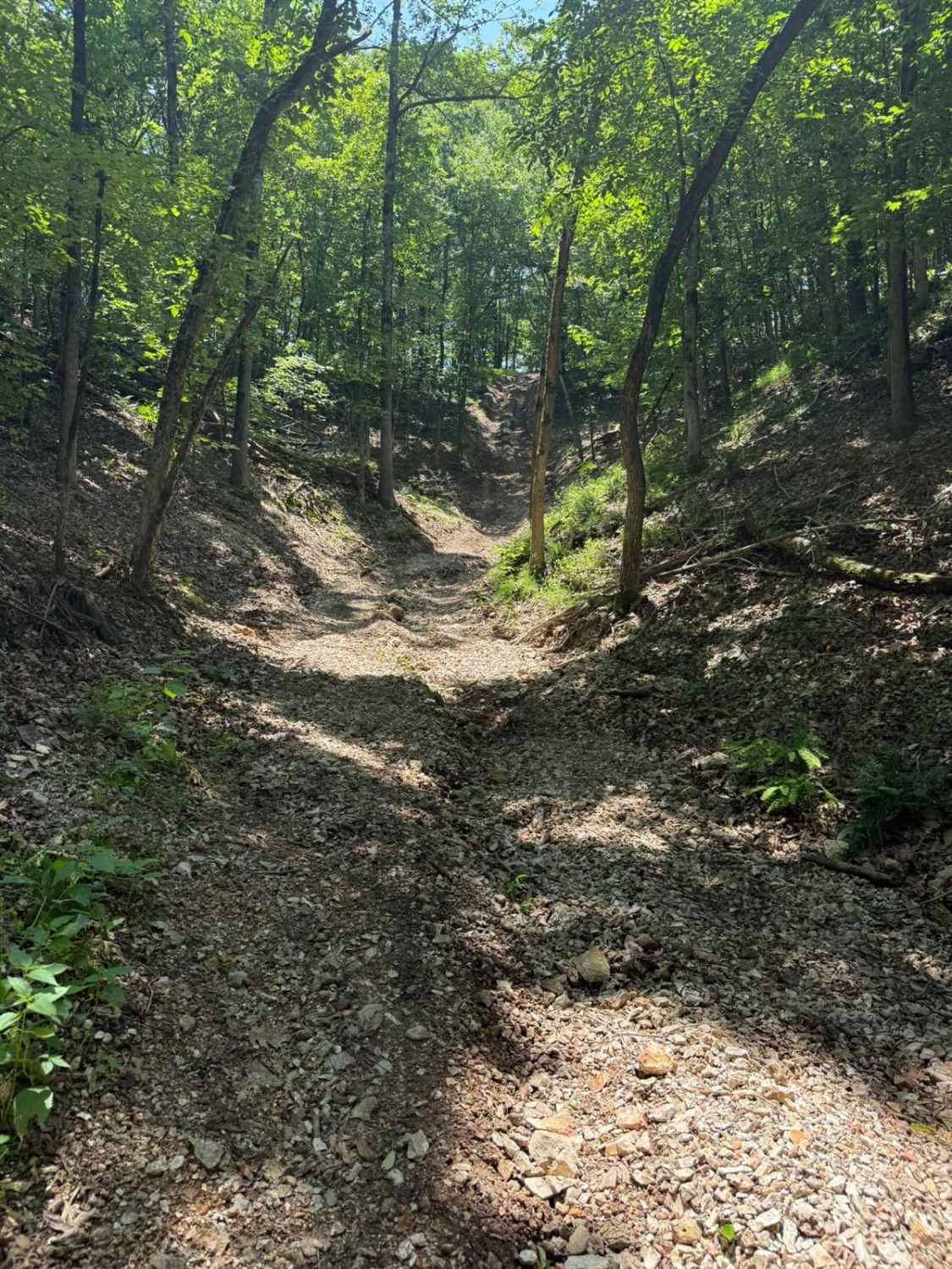
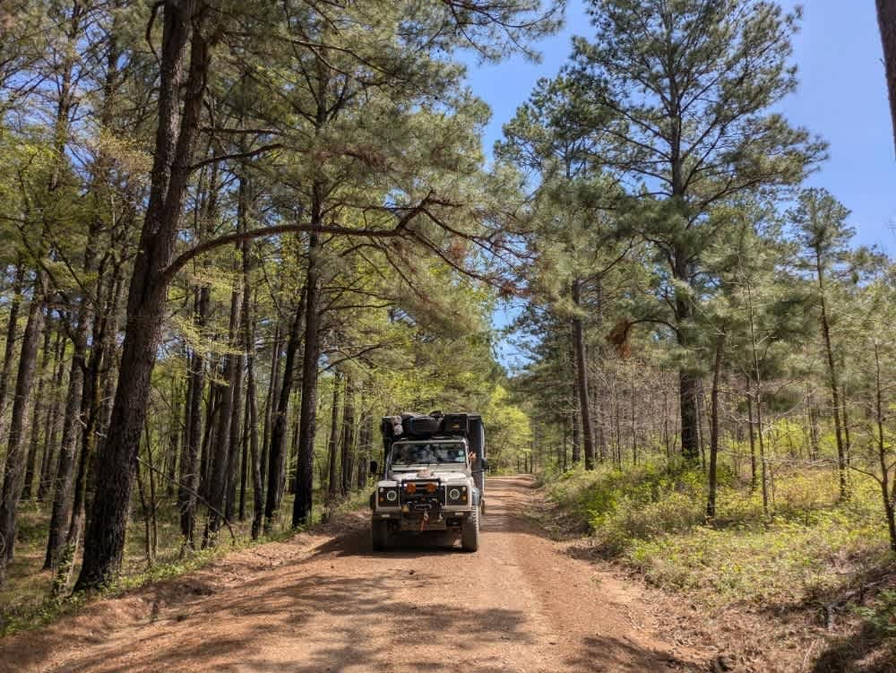
Trail Overview
Although this trail is marked as private on Google Maps, only portions of it appear to be on private land, and it seems to provide a shortcut back to the main gravel logging roads. The trail begins innocently enough with a grassy, gentle stretch near a clearing, but it quickly narrows as young trees close in, brushing against the vehicle and snagging at mirrors. As the trail descends, conditions worsen noticeably. Severe water damage has left the surface rutted and off-camber, with one section running precariously alongside a steep drop-off. With no space to turn around, we were forced to reverse nearly 500 feet uphill to retreat safely. The area includes a few possible dispersed camping spots, though it lacks any form of infrastructure, such as trash disposal or a water source, and cell service is limited throughout.
Photos of 24130

Difficulty
Unmaintained trail with no option to turn back on the road that has eroded away by previous storms.
History
The Ouachita National Forest, stretches across western Arkansas and southeastern Oklahoma and is the oldest national forest in the southern United States and spans over 1.8 million acres. Known for the unique east-to-west orientation of the Ouachita Mountains, the forest features diverse terrain, dense woodlands, and sweeping vistas.
Status Reports
24130 can be accessed by the following ride types:
- High-Clearance 4x4
- SUV
- SxS (60")
- ATV (50")
- Dirt Bike
24130 Map
Popular Trails
Truce's Trail
Jenny's Trail

The onX Offroad Difference
onX Offroad combines trail photos, descriptions, difficulty ratings, width restrictions, seasonality, and more in a user-friendly interface. Available on all devices, with offline access and full compatibility with CarPlay and Android Auto. Discover what you’re missing today!