Peck Leach Trail
Total Miles
1.5
Technical Rating
Best Time
Spring, Summer, Fall
Trail Type
Full-Width Road
Accessible By
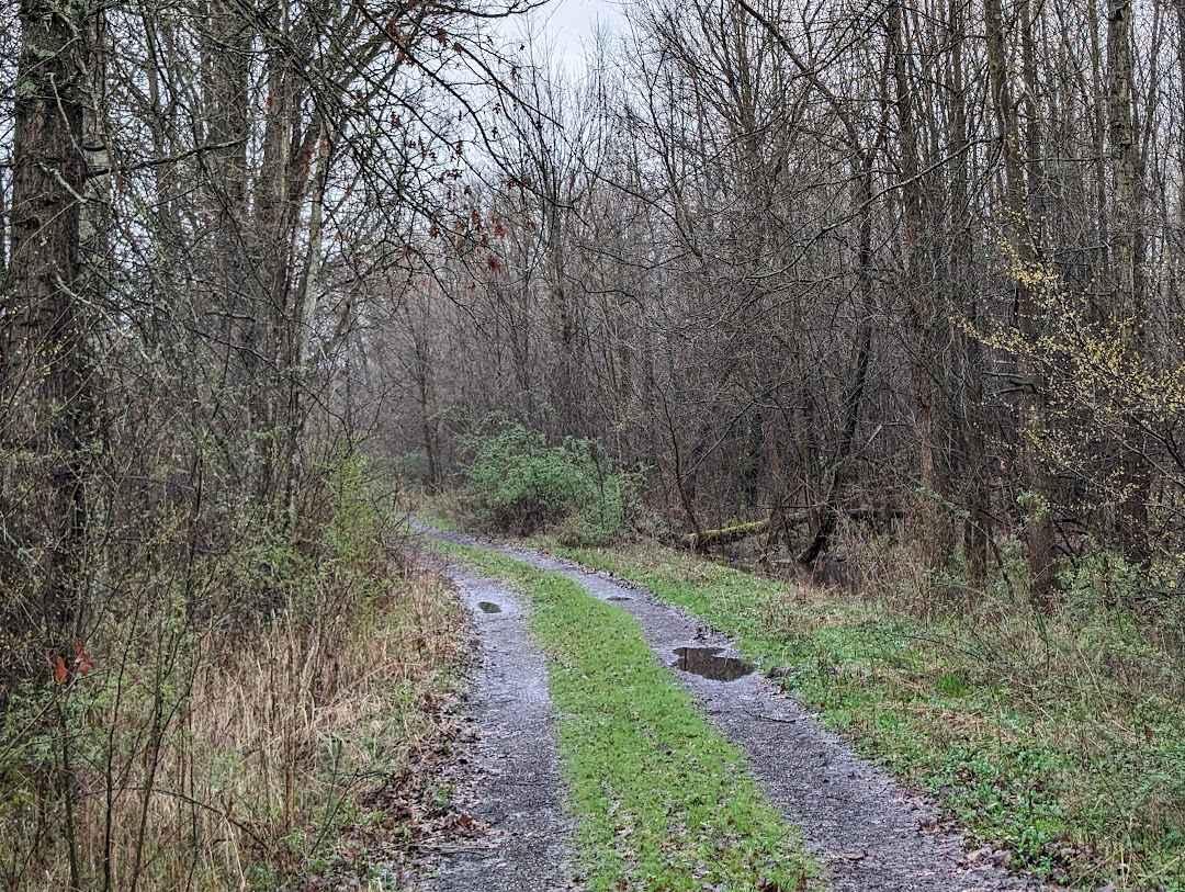
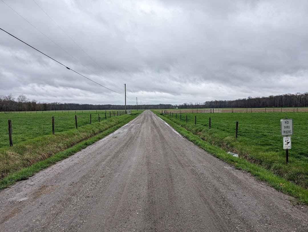
Trail Overview
This is a short but exhilarating trail that takes you through Amish country. The trail starts on a gravel road and then narrows down into a dual-track trail. When traveling down the trail, there's private property on the northern side of the trail. The southern side of the trail is public property owned by the Ohio Department of Natural Resources. There are several spots to turn around or park along the trail. It narrows after the bridge that crosses over Coffee Creek.
Photos of Peck Leach Trail
Difficulty
Some small ruts will fill with water after rain.
Status Reports
Peck Leach Trail can be accessed by the following ride types:
- High-Clearance 4x4
- SUV
Peck Leach Trail Map
Popular Trails
Hutt Road - Tight Squeeze

Junkyard Town - low water bridges along Onion Creek - Hackney

Plecher Road to Pyramid House
The onX Offroad Difference
onX Offroad combines trail photos, descriptions, difficulty ratings, width restrictions, seasonality, and more in a user-friendly interface. Available on all devices, with offline access and full compatibility with CarPlay and Android Auto. Discover what you’re missing today!