Thunderhole - FS 4071
Total Miles
2.0
Technical Rating
Best Time
Fall, Summer, Spring
Trail Type
Full-Width Road
Accessible By
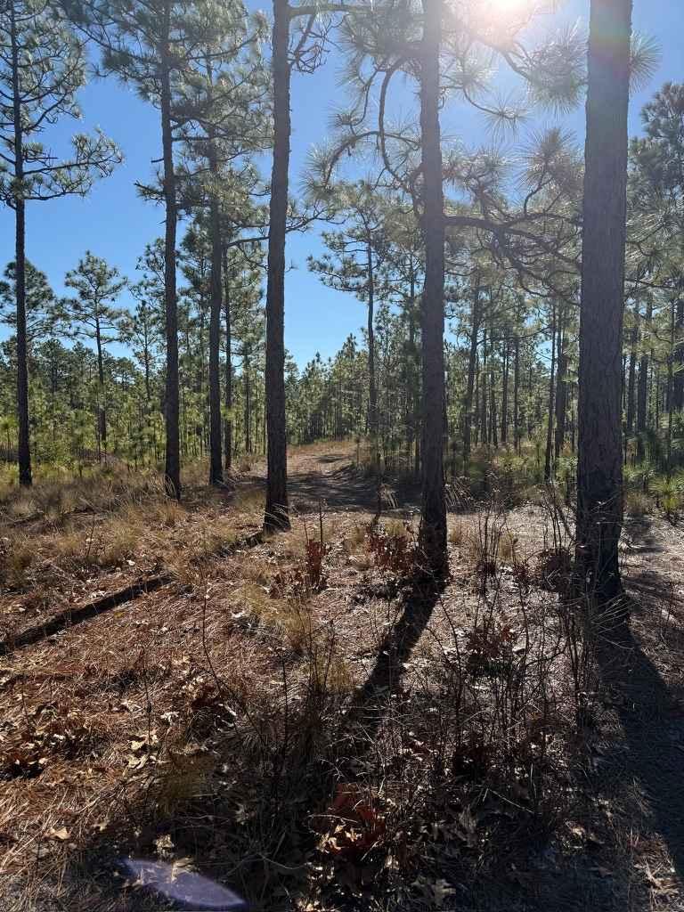
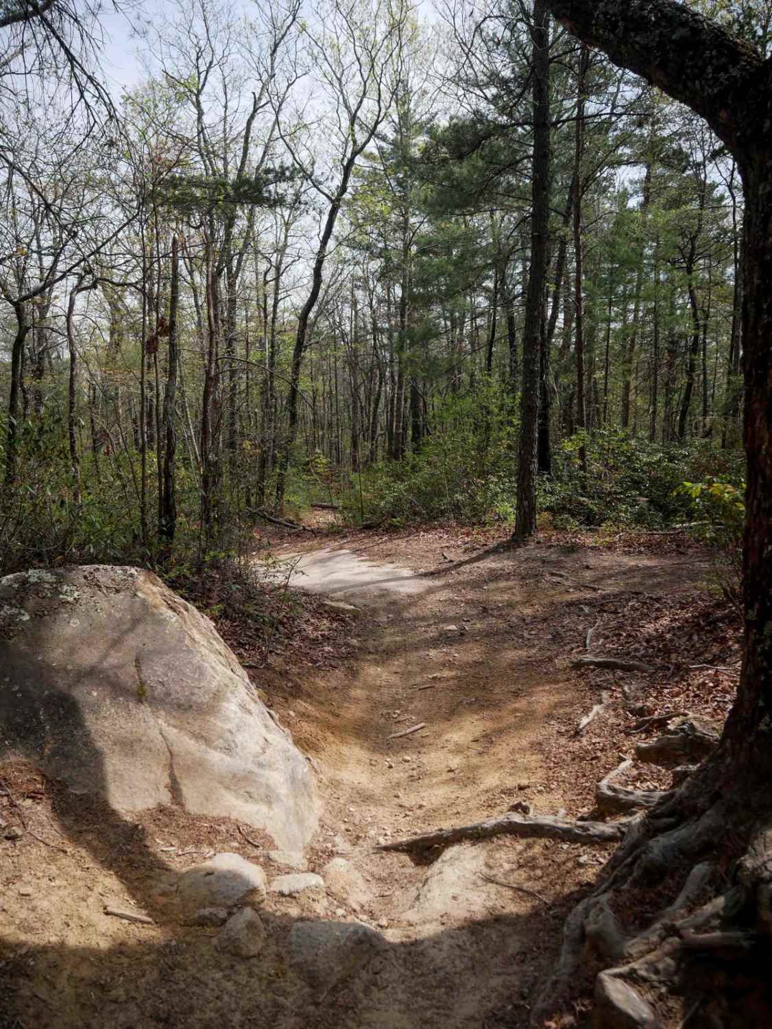
Trail Overview
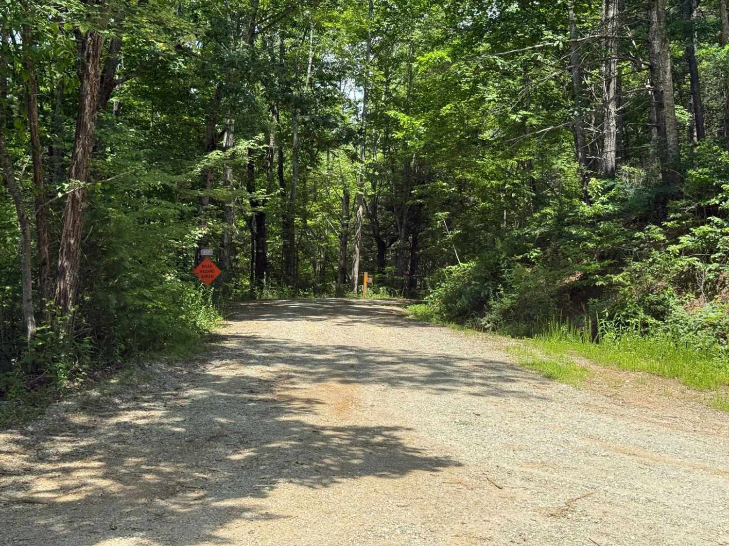
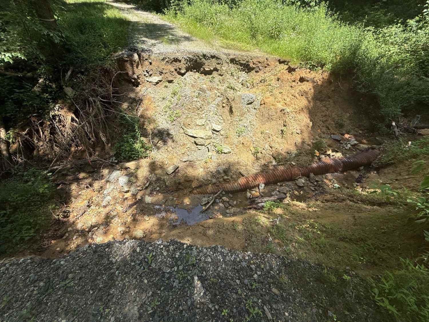
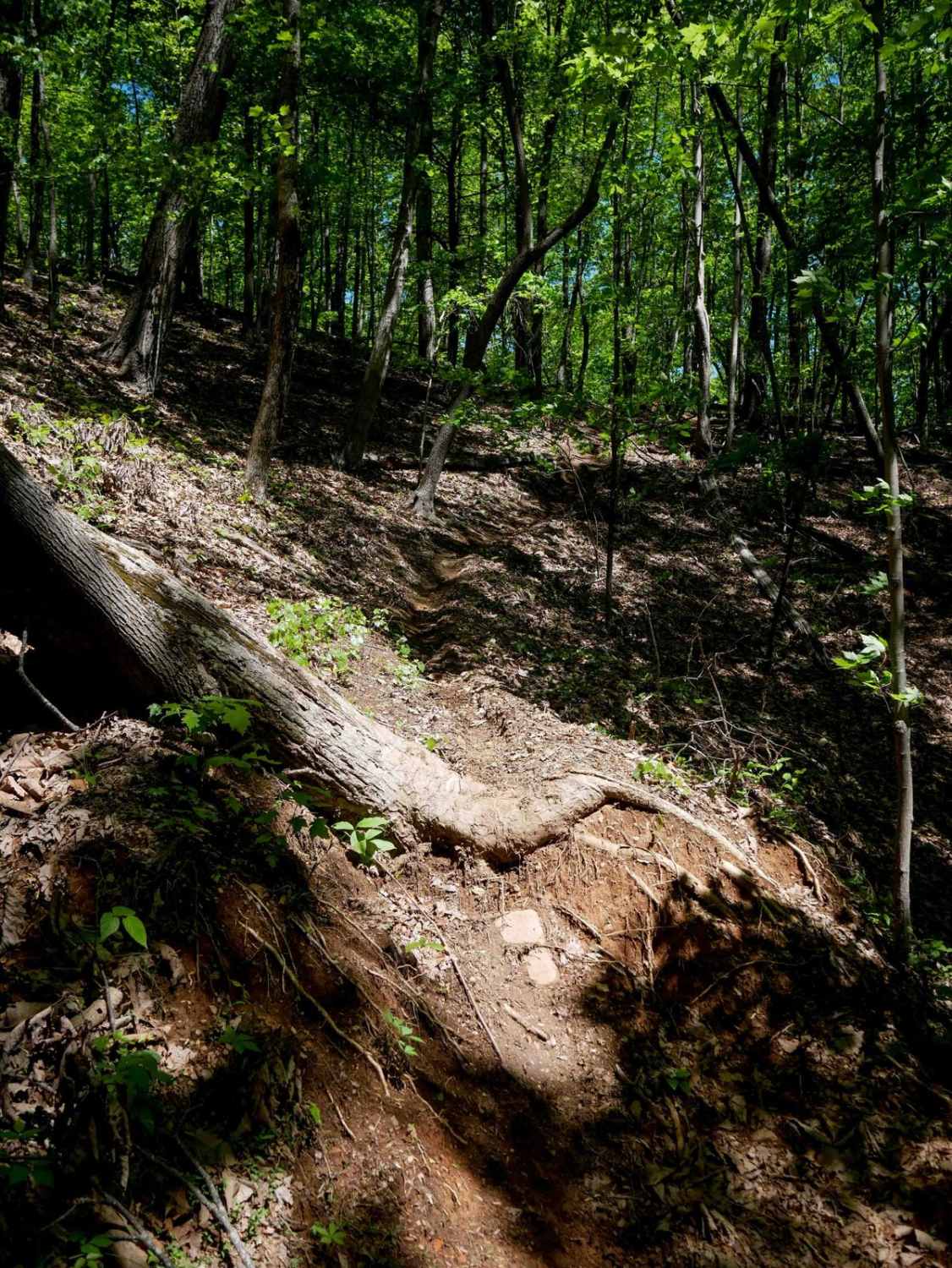
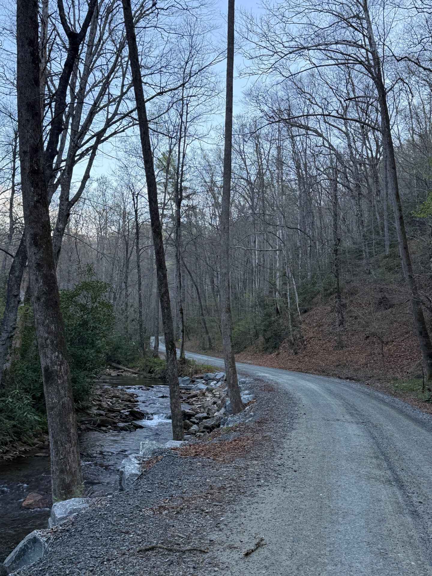
Thunderhole is a small offshoot of Edgemont Road that features a narrower and slightly rougher trail. The majority of the route is well-maintained gravel, though a few ruts and small muddy sections are scattered throughout. While the trail is accessible to most vehicles, some ground clearance is recommended. Due to the narrow nature of the trail, passing other vehicles can be difficult without pulling off into less stable terrain. A significant and deep washout caused by Hurricane Helene marks the end of the trail. Given the potential instability of the surrounding ground, extreme caution is advised near this area. Along the way, several small bridges cross scenic creeks, offering a powerful visual reminder of the storm's force. A few hiking trails also branch off along the route, allowing for further exploration of the surrounding forest.
Photos of Thunderhole - FS 4071
Difficulty
The trail is slightly more difficult than others in the area, with the primary challenges being ruts, potholes, and a few narrow sections. Additionally, since the trail is bidirectional, encountering oncoming vehicles can pose a challenge in tighter areas.
Status Reports
Thunderhole - FS 4071 can be accessed by the following ride types:
- High-Clearance 4x4
- SUV
Thunderhole - FS 4071 Map
Popular Trails
Avery Creek - FS 477
Pettiford Creek Trail 7
Trail 9 - 65 Inch
The onX Offroad Difference
onX Offroad combines trail photos, descriptions, difficulty ratings, width restrictions, seasonality, and more in a user-friendly interface. Available on all devices, with offline access and full compatibility with CarPlay and Android Auto. Discover what you’re missing today!