Culpepper Spur
Total Miles
1.0
Technical Rating
Best Time
Spring, Fall, Summer
Trail Type
60" Trail
Accessible By
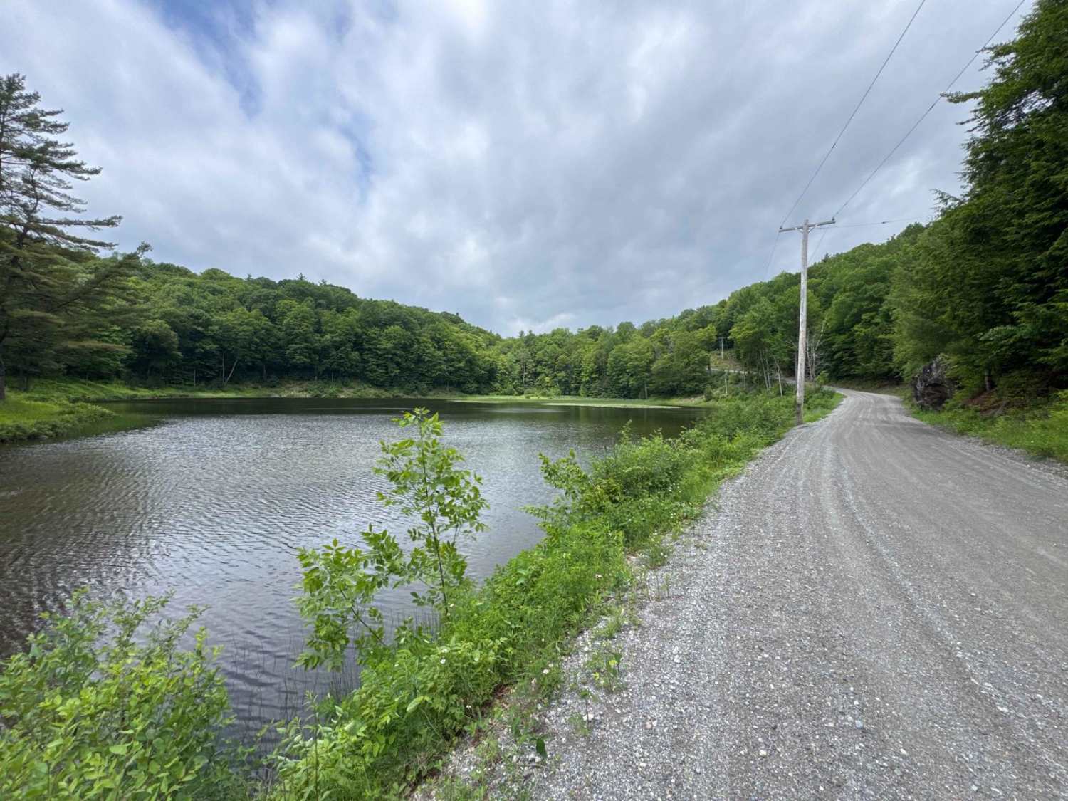
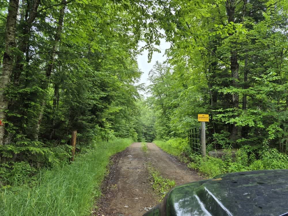
Trail Overview
Expect to see varying terrain as you creep through a mix of rocky trail and mud/dirt that traverses a mostly pine forest on the edge of O'Leary's pond. Lots of ruts and the potential for shallow water holes exist, especially after rain events. A Lewis County trail permit is required to use this trail.
Photos of Culpepper Spur


Difficulty
This trail is tight and at times rough with a rock garden gate keeper at the start of the trail, exposed tree roots, tight turns, and water holes. Always have headlights on for safety.
Status Reports
Culpepper Spur can be accessed by the following ride types:
- SxS (60")
- ATV (50")
- Dirt Bike
Culpepper Spur Map
Popular Trails
Hog Town Road

Loan Oak Trail
Fly Creek Road

Shin Creek Road
The onX Offroad Difference
onX Offroad combines trail photos, descriptions, difficulty ratings, width restrictions, seasonality, and more in a user-friendly interface. Available on all devices, with offline access and full compatibility with CarPlay and Android Auto. Discover what you’re missing today!