Maxon Creek State Park
Total Miles
1.9
Technical Rating
Best Time
Fall
Trail Type
Full-Width Road
Accessible By
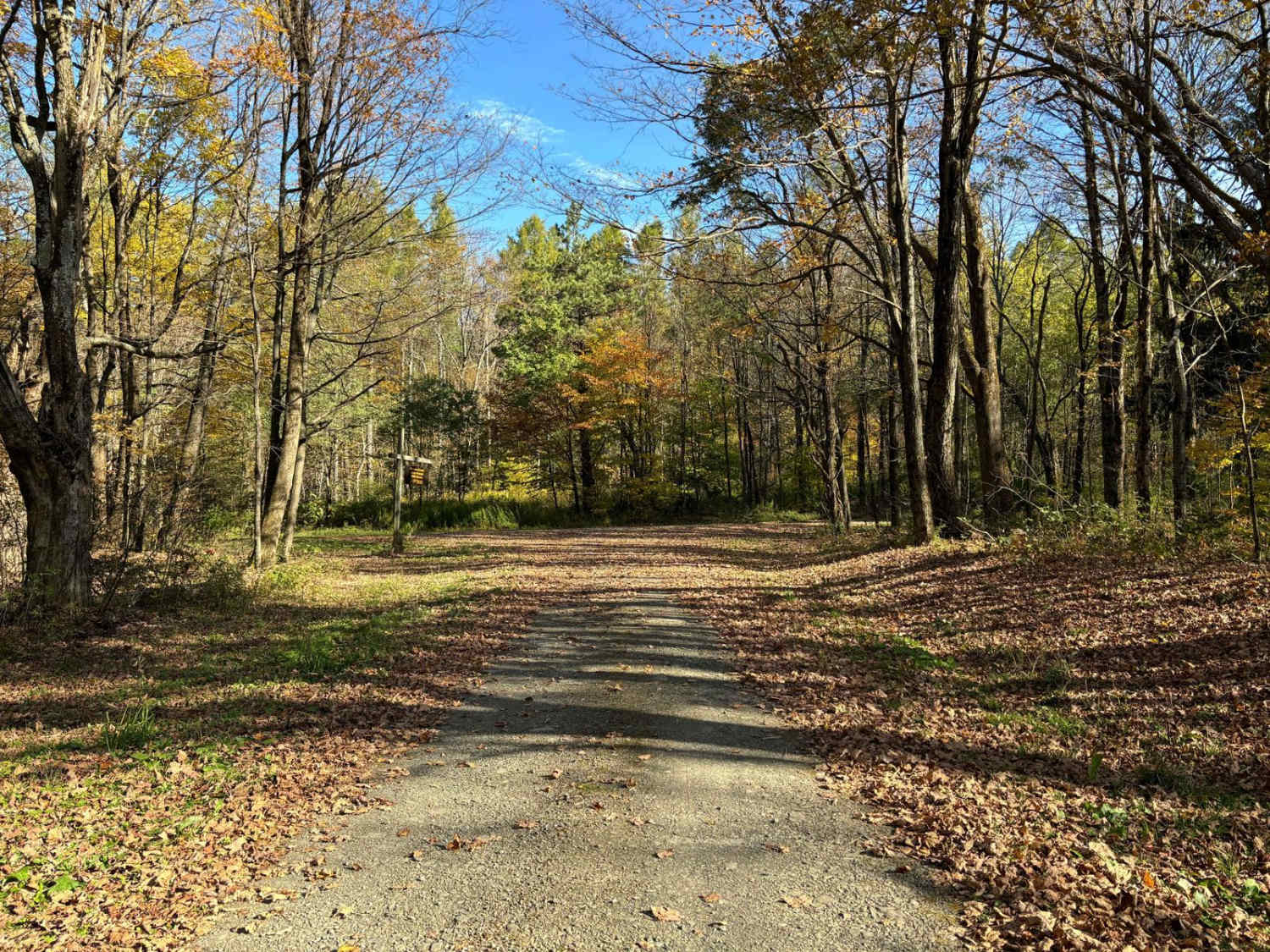
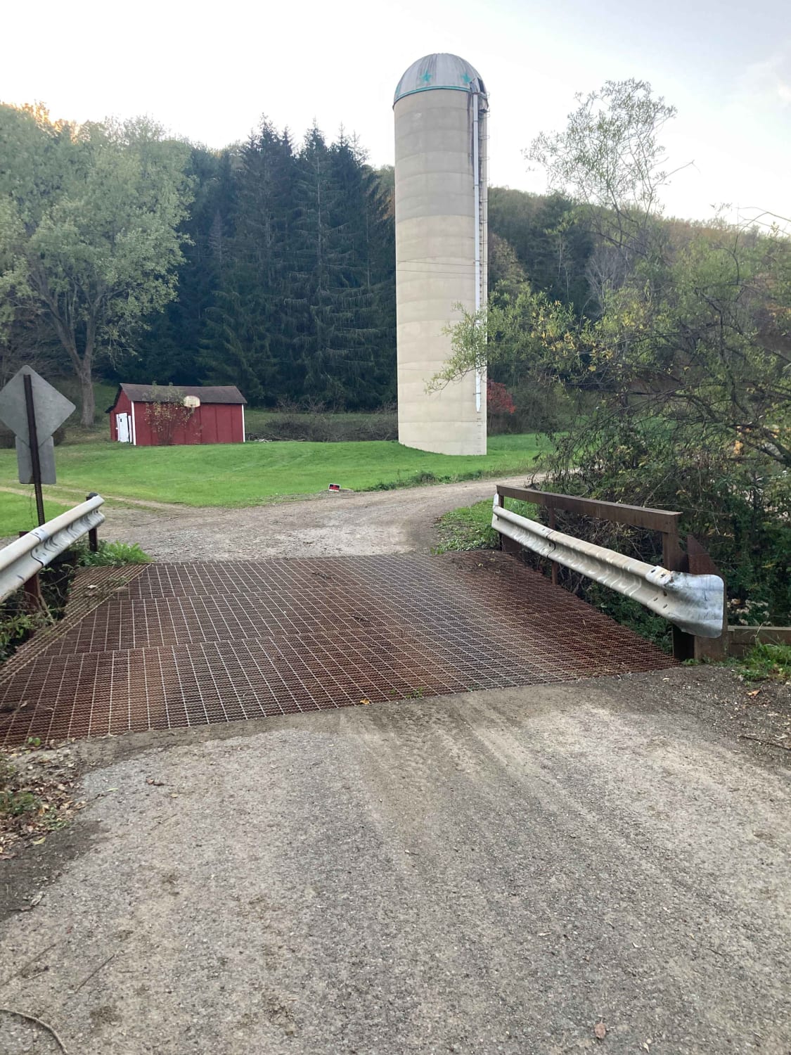
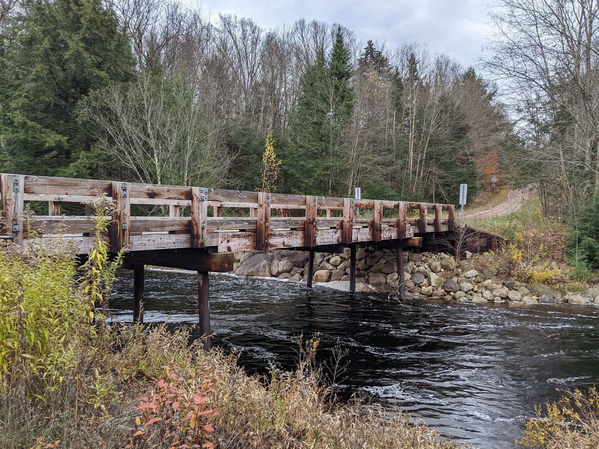
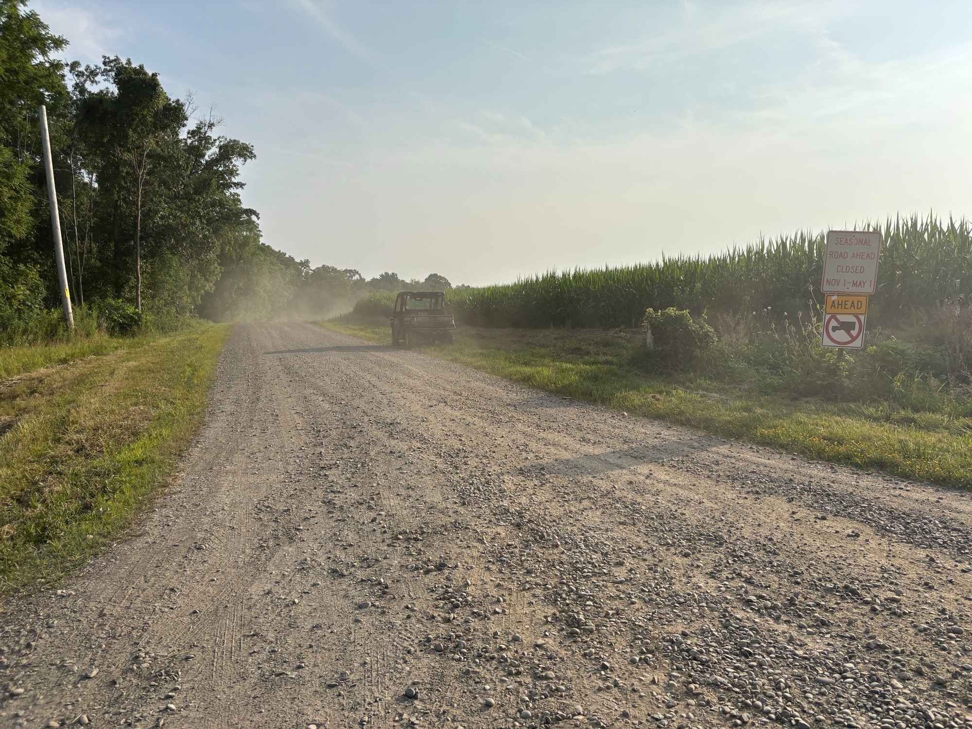
Trail Overview
This is a seasonal forest access road that is an out-and-back route. This route goes through forest access which really feels like you are out in the woods. The road is a single track that provides a scenic drive and opportunity to see native wildlife. There are several places along the route for scenic views and hiking.
Photos of Maxon Creek State Park

Difficulty
This is a well maintained two-track gravel road with no difficult obstacles.
History
Maxon Creek State Forest, sometimes referred to as Pease Hill, encompasses 905 acres. The forest is home to four small streams, which together total 2.4 miles in length and are a part of the east branch of the Tioughnioga River watershed.A variety of different forest cover types envelop the land, including northern hardwoods, northern hardwood-hemlock, Japanese larch, Norway spruce, red pine, and white cedar. Within this secluded forest setting, one can find a diverse collection of wildlife and plant species.
Status Reports
Maxon Creek State Park can be accessed by the following ride types:
- High-Clearance 4x4
- SUV
Maxon Creek State Park Map
Popular Trails

Hungry Hollow Road (Seasonal Section)
Borden Hollow Road
Bryant Bridge Road
The onX Offroad Difference
onX Offroad combines trail photos, descriptions, difficulty ratings, width restrictions, seasonality, and more in a user-friendly interface. Available on all devices, with offline access and full compatibility with CarPlay and Android Auto. Discover what you’re missing today!