Westside Road - Mule Peak to Joplin Ridge
Total Miles
3.9
Technical Rating
Best Time
Spring, Summer, Fall
Trail Type
Full-Width Road
Accessible By
Trail Overview
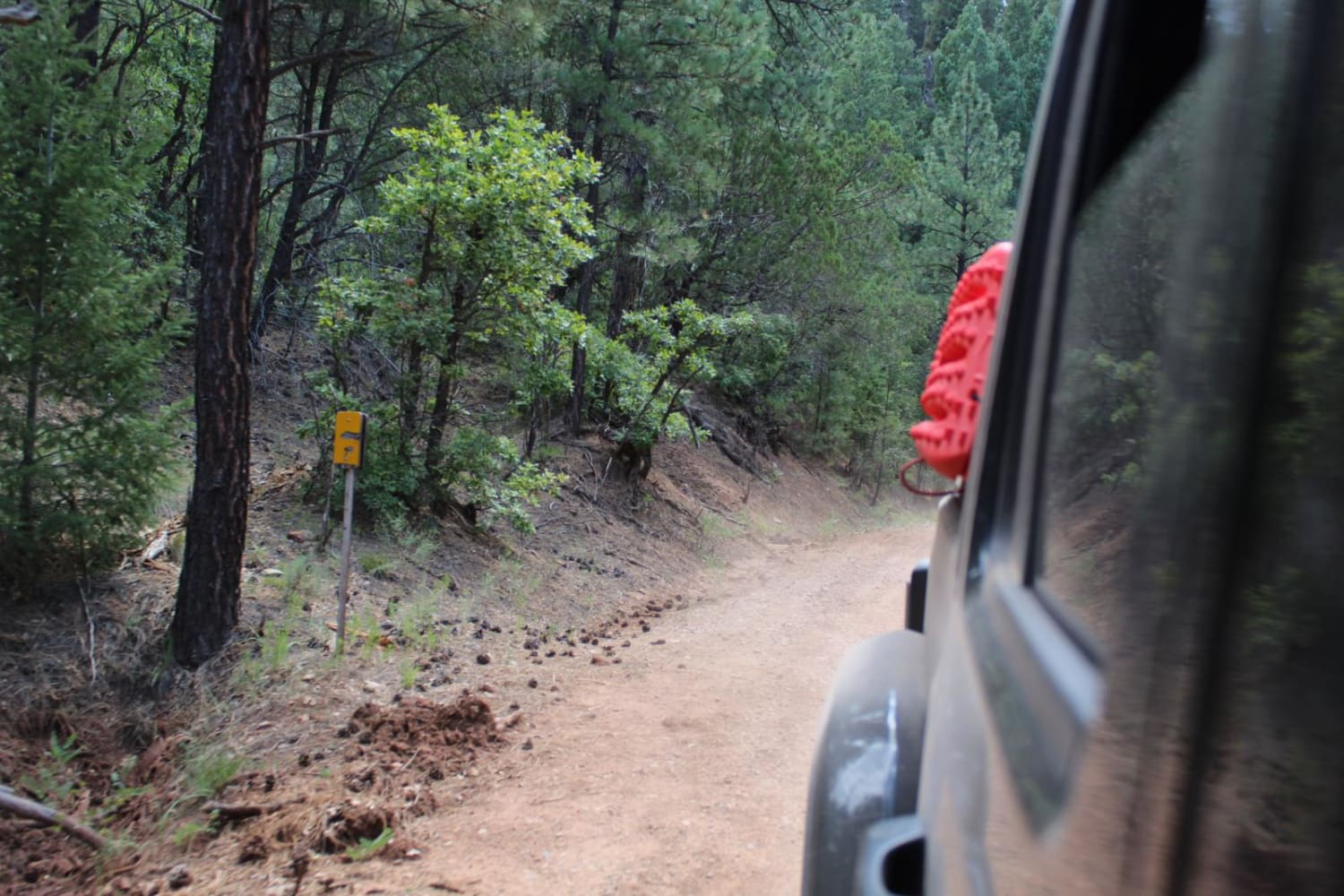
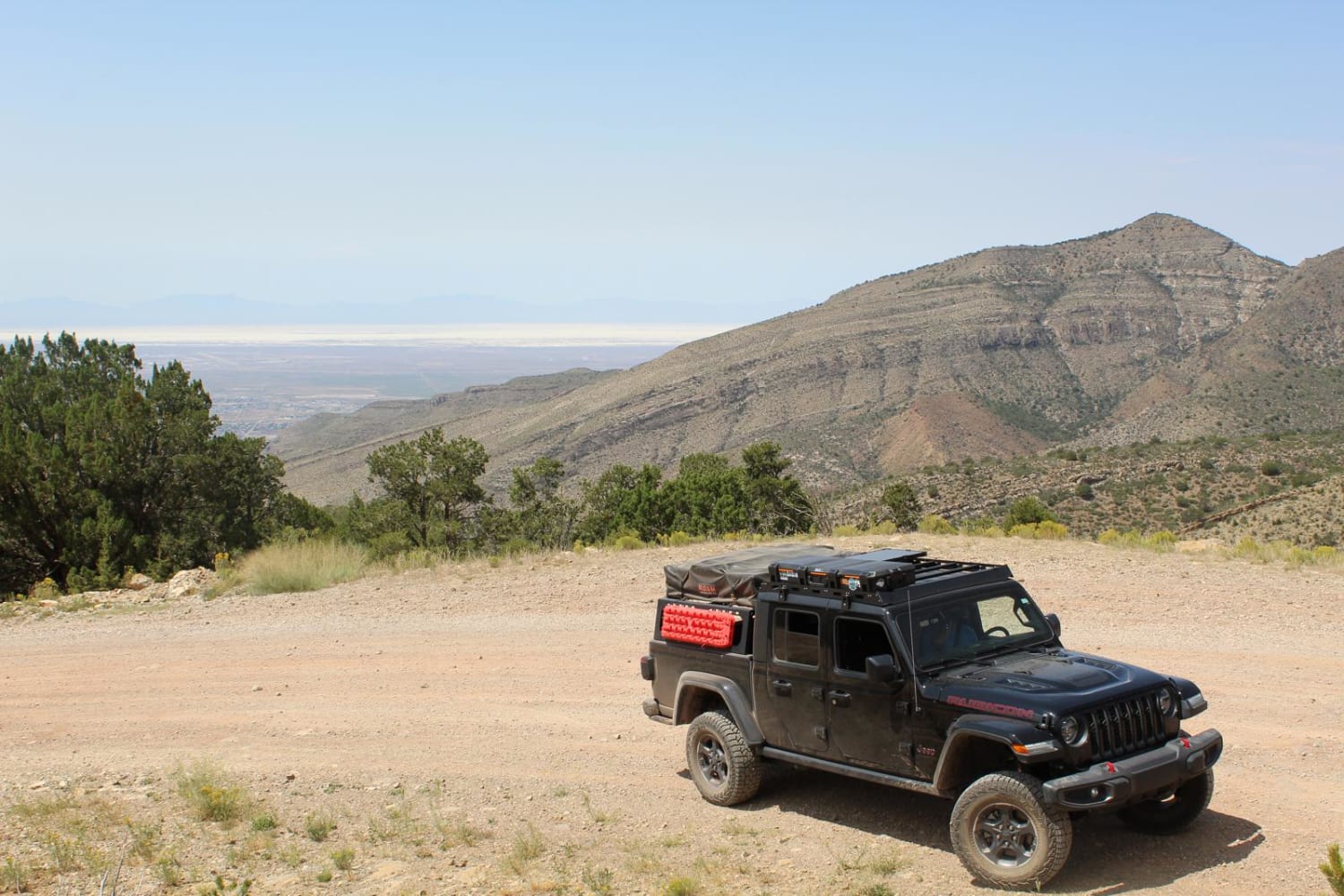
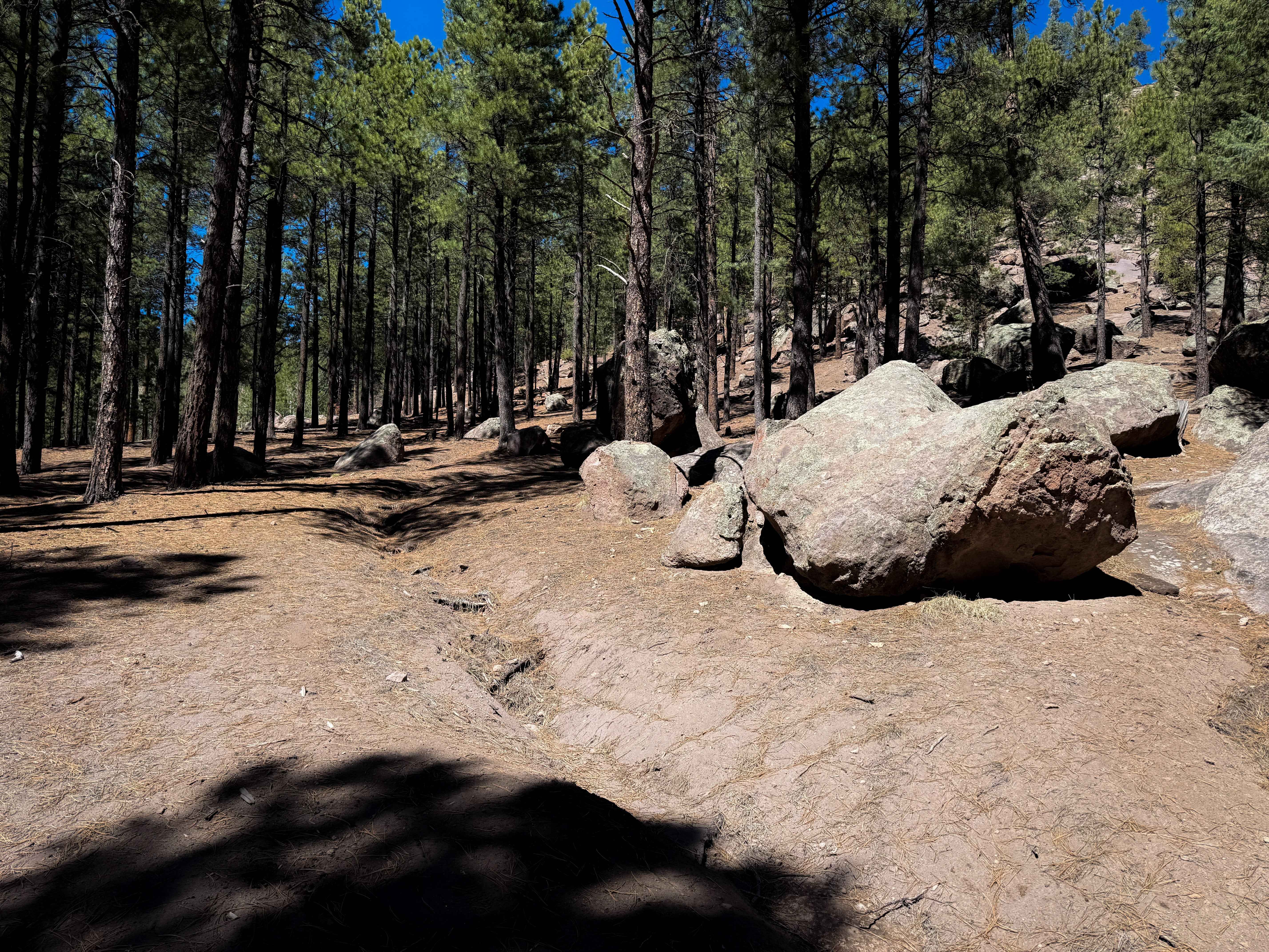
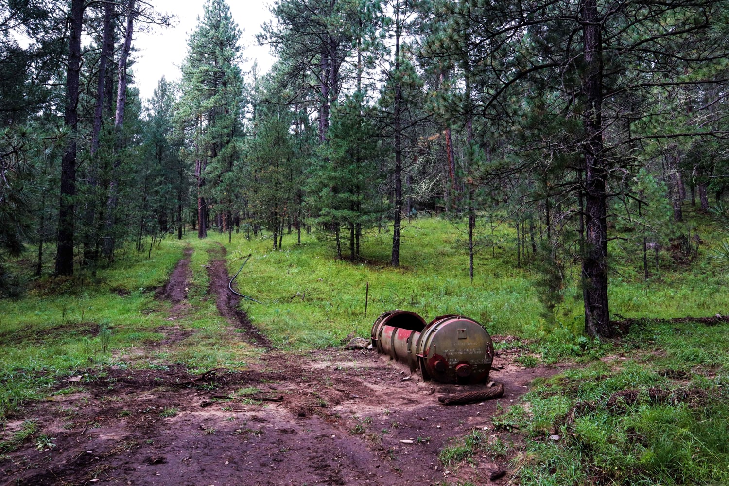
This trail is easily traversed in all types of vehicles, but low-clearance vehicles may have a hard time due to loose rocks, dirt ruts and larger rocks that protrude from the surface. The width of the trail is large enough for two vehicles to pass with ease, and can support a third vehicle in width if they were pulled over. This trail is easy to navigate, but includes multiple narrow sharp turns with dirt washout on the edges. The nearest town is High Rolls, which is approximately 10 miles away from the start, and has multiple food options and a gas station. Due to the nature of the trail, it is advised to fuel up in this town prior to starting the trail. There is minimal cell service along the route. This trail supports two-way traffic, but due to dirt and minimal rocks in some spots, it can become harder to traverse with sustained rain or melting snow.
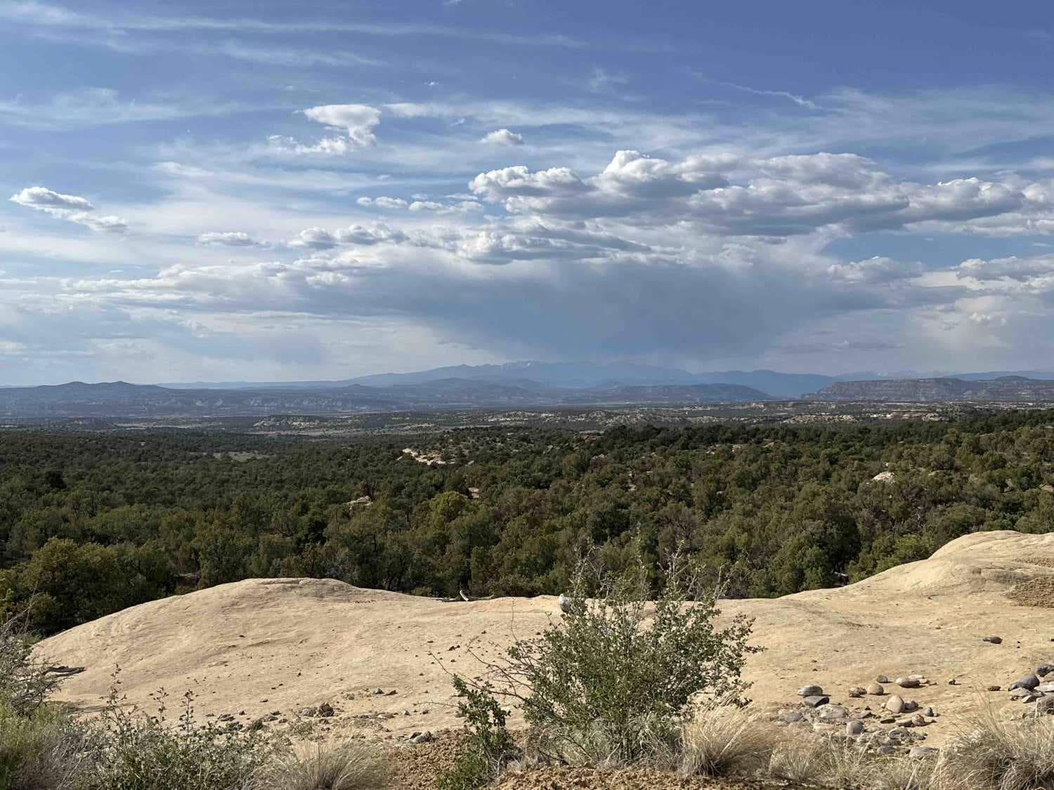
Photos of Westside Road - Mule Peak to Joplin Ridge
Difficulty
80% of the trail is easily traversed, but there are a few sections of potential washouts, and elevated rocks that could immobilize a low clearance vehicle. In addition, despite the trails extended width in most sections, the turns are narrow and sharp.
Westside Road - Mule Peak to Joplin Ridge can be accessed by the following ride types:
- High-Clearance 4x4
- SUV
- SxS (60")
- ATV (50")
- Dirt Bike
Westside Road - Mule Peak to Joplin Ridge Map
Popular Trails
Lake Fork Mesa - 505
Three Mile Canyon Road

New Years
The onX Offroad Difference
onX Offroad combines trail photos, descriptions, difficulty ratings, width restrictions, seasonality, and more in a user-friendly interface. Available on all devices, with offline access and full compatibility with CarPlay and Android Auto. Discover what you’re missing today!