Deadman
Total Miles
1.6
Technical Rating
Best Time
Spring, Winter, Fall
Trail Type
Single Track
Accessible By
Trail Overview
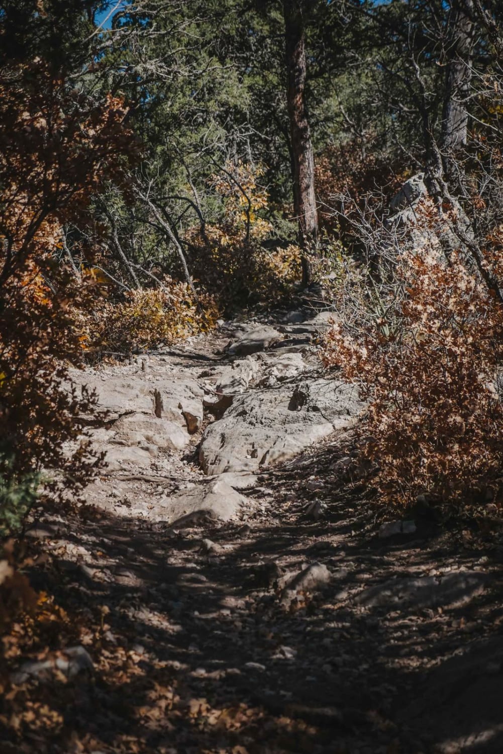
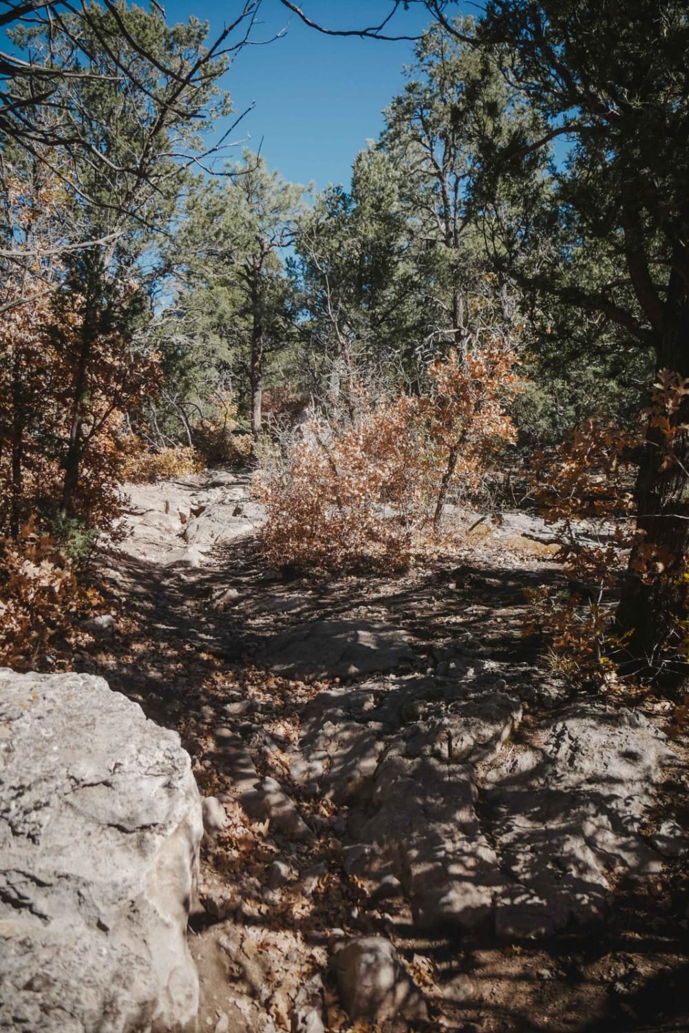
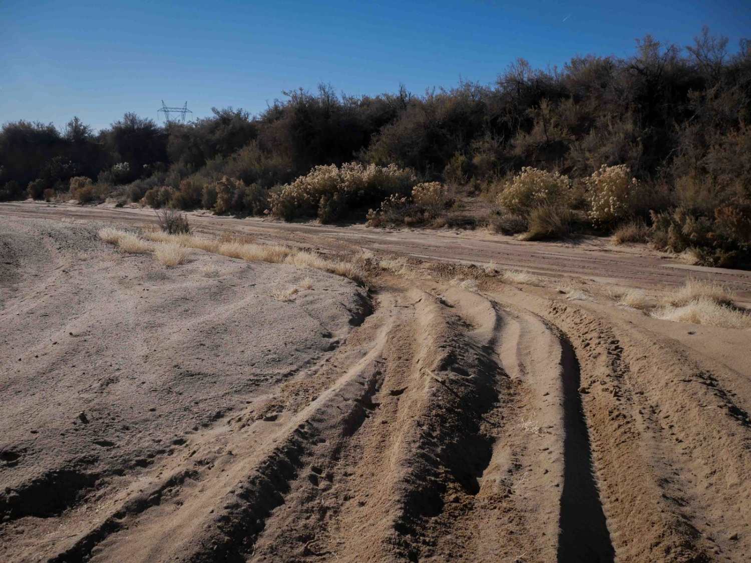
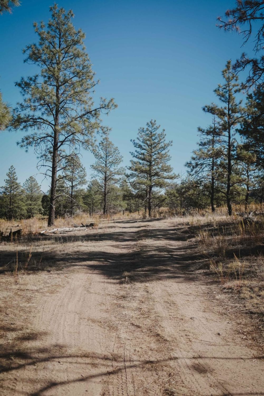
Deadman is an easy/moderate single track in the Manzanita Mountain trail system near Albuquerque, New Mexico. The northern half of the trail is a fast ripper; it's smooth with no rocks. The trees aren't so closely lining the trail here, and there are big straight sections, so you can get going fast. It goes underneath tall pine trees in a more wooded section, compared to the northern part of this trail system which is more desert. It's super easy until it meets up with Southern Crossing and rounds the corner. Then it steadily climbs up and there's an 8th mile section of pretty big rocks. There are 4 to 5 one-foot-high ledges that you have to work your way around. These ledges are near the intersection with the Oak Flat Connector.
Photos of Deadman
Difficulty
Most of the trail is a 2 difficulty except for one rock section towards Oak Flat Connector that is made up of several rock ledges of a 4 difficulty.
Status Reports
Deadman can be accessed by the following ride types:
- Dirt Bike
Deadman Map
Popular Trails
Pecos WIlderness Border Road
Cox Canyon Arch
The onX Offroad Difference
onX Offroad combines trail photos, descriptions, difficulty ratings, width restrictions, seasonality, and more in a user-friendly interface. Available on all devices, with offline access and full compatibility with CarPlay and Android Auto. Discover what you’re missing today!