Sulphur Springs Road
Total Miles
2.1
Technical Rating
Best Time
Spring, Summer, Fall
Trail Type
Full-Width Road
Accessible By
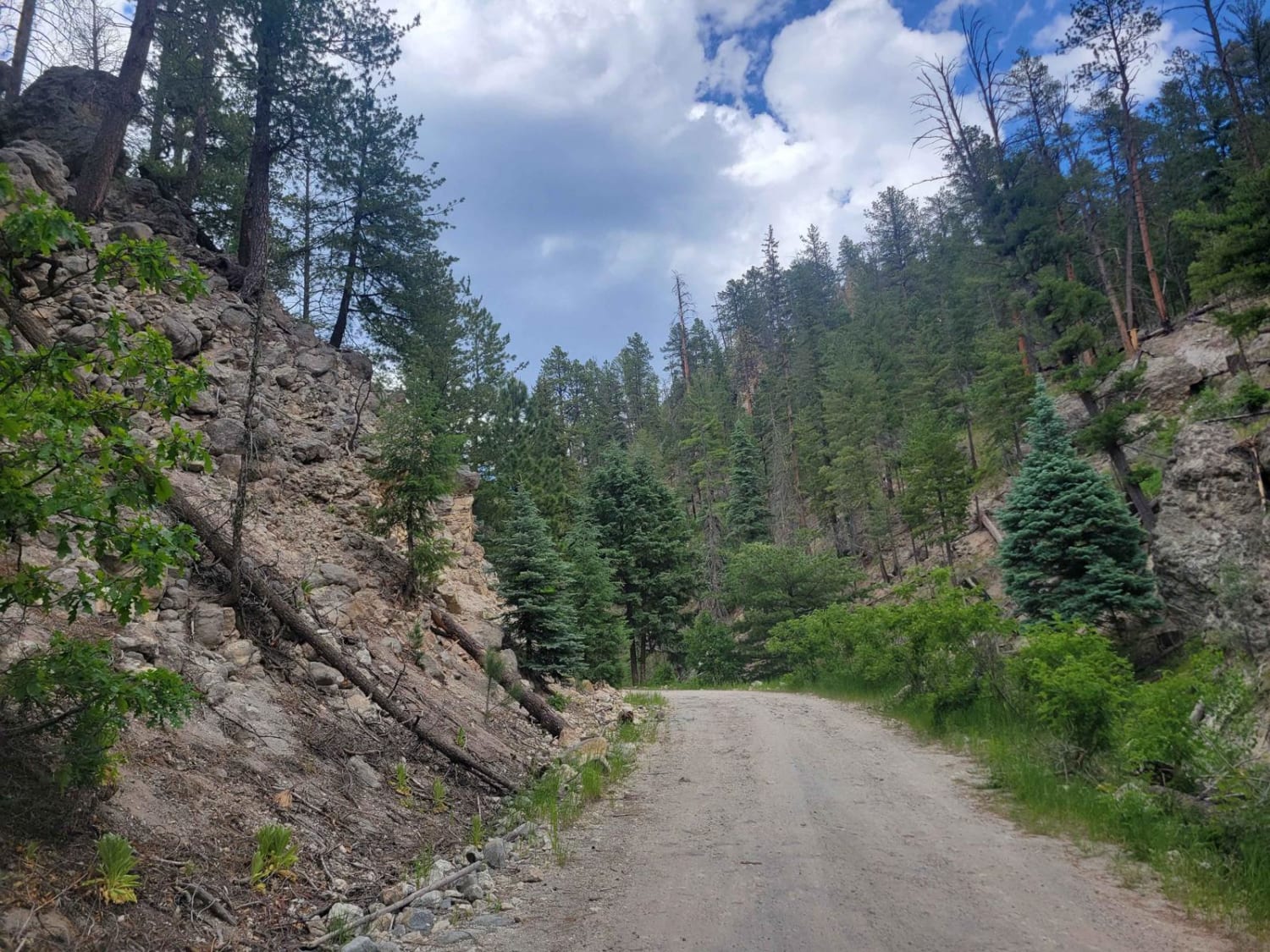
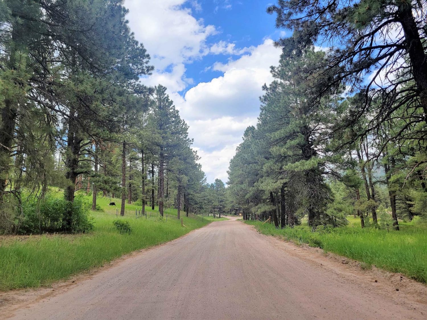
Trail Overview
This road is used to access the Sulphur Springs area on the western side of Valles Caldera. It is important to note that the road is closed short of the springs, and will require a short hike along the road to reach the springs area. This road goes through a neighborhood near the main road and then ascends via a dirt road up to the edge of the national preserve. There are a few deeper ruts, and the road is not maintained through the National Forest, so watch for inclement weather. Along the trail, you will find interesting rock formations as well as tall pine forests. A few pull-outs within the national forest provide opportunities for camping as well. Once at the end, a short 1/3 of a mile hike will bring you to the springs.
Photos of Sulphur Springs Road
Difficulty
The road itself is not difficult, but a couple of ruts keep it from being a 1. Additionally, the road is not maintained so inclement weather can rapidly increase its difficulty.
Status Reports
Sulphur Springs Road can be accessed by the following ride types:
- High-Clearance 4x4
- SUV
- SxS (60")
- ATV (50")
- Dirt Bike
Sulphur Springs Road Map
Popular Trails

Munoz Creek/NFS 357

San Geronimo Back Road
Old State Highway 52 - FR 549
The onX Offroad Difference
onX Offroad combines trail photos, descriptions, difficulty ratings, width restrictions, seasonality, and more in a user-friendly interface. Available on all devices, with offline access and full compatibility with CarPlay and Android Auto. Discover what you’re missing today!