Mt. Taylor Summit
Total Miles
4.0
Technical Rating
Best Time
Trail Type
Full-Width Road
Accessible By
Trail Overview
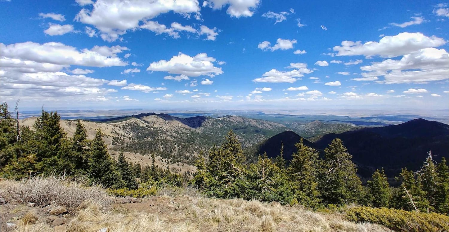
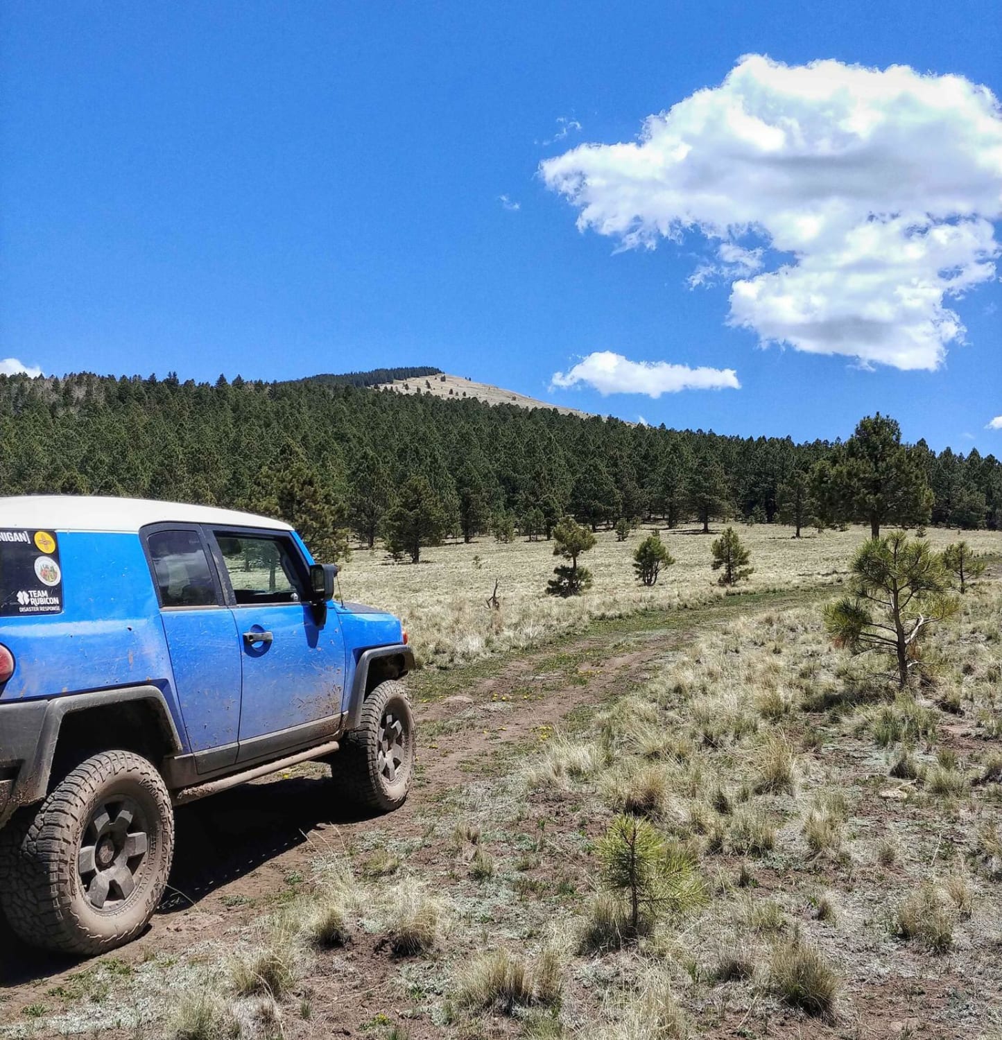
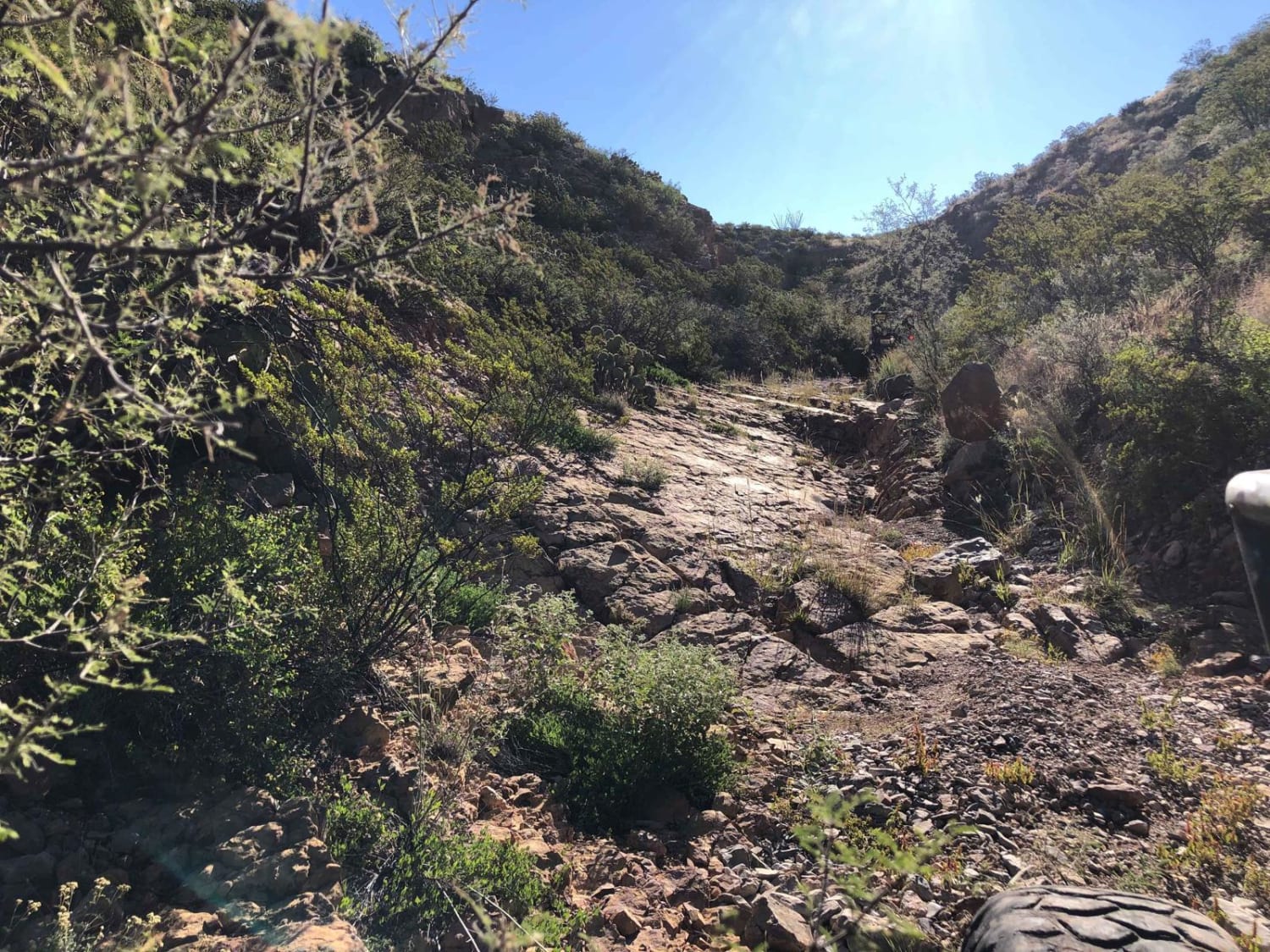
This section of trail branches off from Mt. Taylor 4x4 Road and takes you up to the summit of Mt. Taylor. It is rugged and exposed, with not much cover if the weather rolls in. It is also very scenic, with vistas to the south and west across the New Mexican desert. As you get closer to the top, route finding becomes more difficult, but just follow the two-track. Please enjoy responsibly.
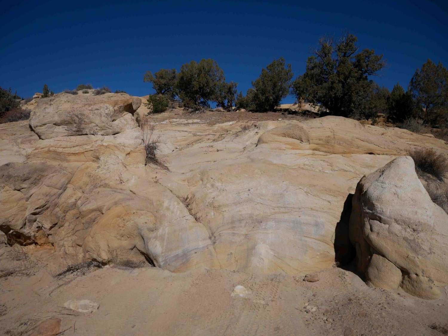
Photos of Mt. Taylor Summit
Difficulty
This trail becomes very steep as you climb towards the summit. There is a section early on with large rocks in the trail and trees very close to the sides, limiting line choice. An experienced driver with high clearance and low range will be fine.
Status Reports
Mt. Taylor Summit can be accessed by the following ride types:
- High-Clearance 4x4
- SUV
Mt. Taylor Summit Map
Popular Trails
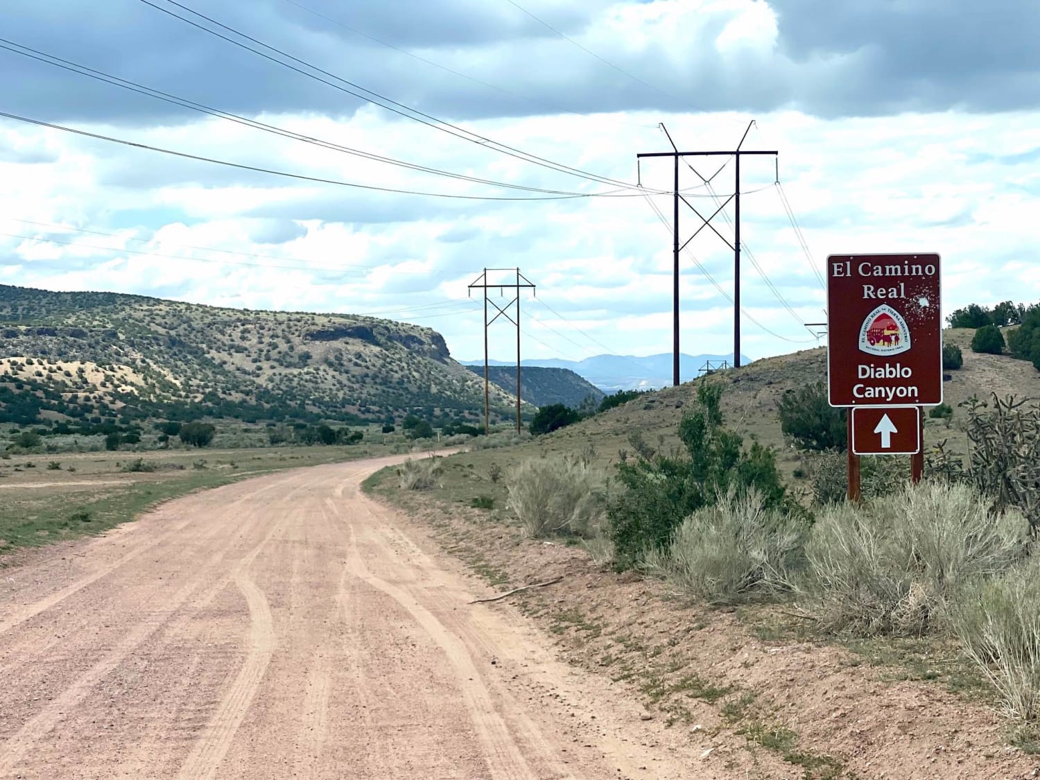
El Camino Real y Diablo Canyon Trail
The Mine Shaft
The onX Offroad Difference
onX Offroad combines trail photos, descriptions, difficulty ratings, width restrictions, seasonality, and more in a user-friendly interface. Available on all devices, with offline access and full compatibility with CarPlay and Android Auto. Discover what you’re missing today!