La Madera Loop FSR-222E
Total Miles
8.4
Technical Rating
Best Time
Spring, Summer, Fall
Trail Type
Full-Width Road
Accessible By
Trail Overview
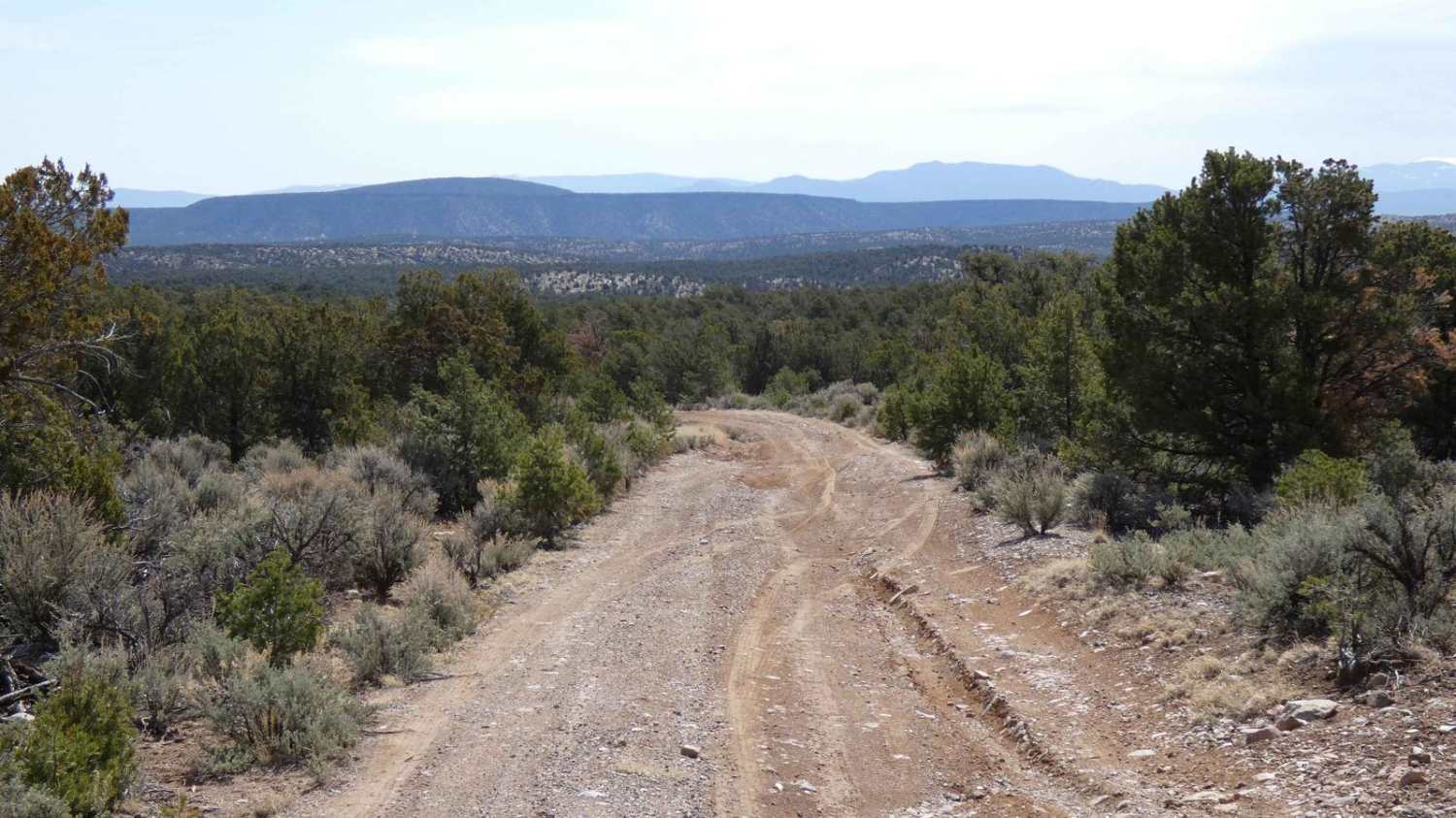
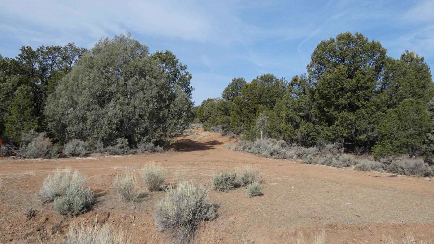
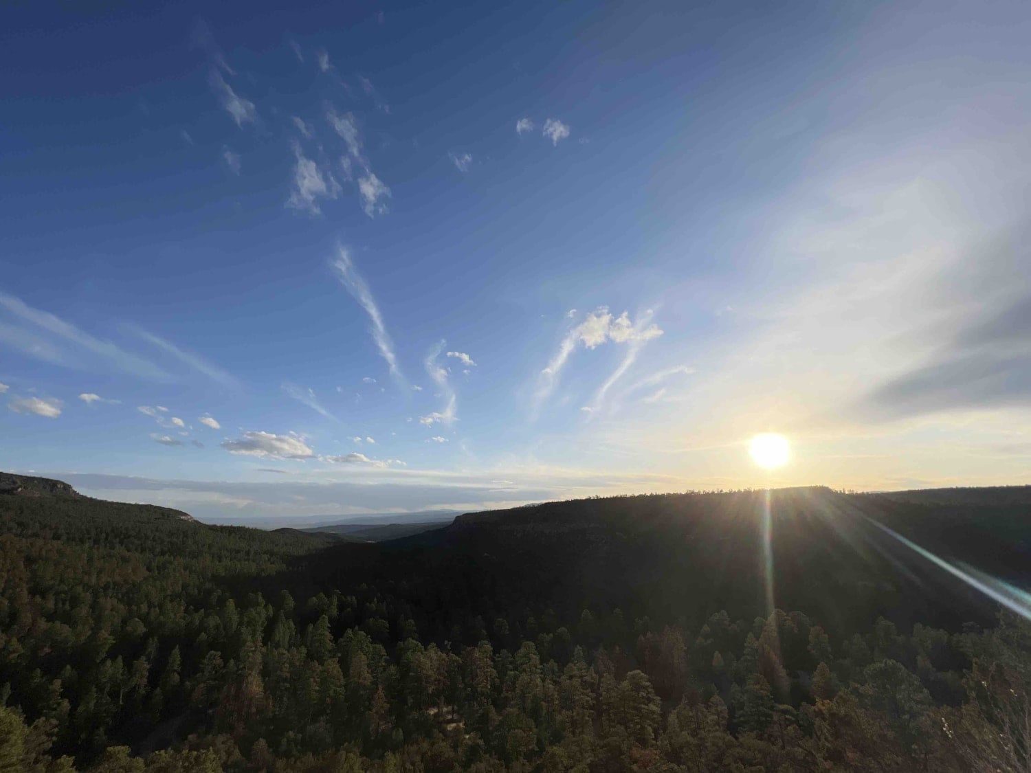
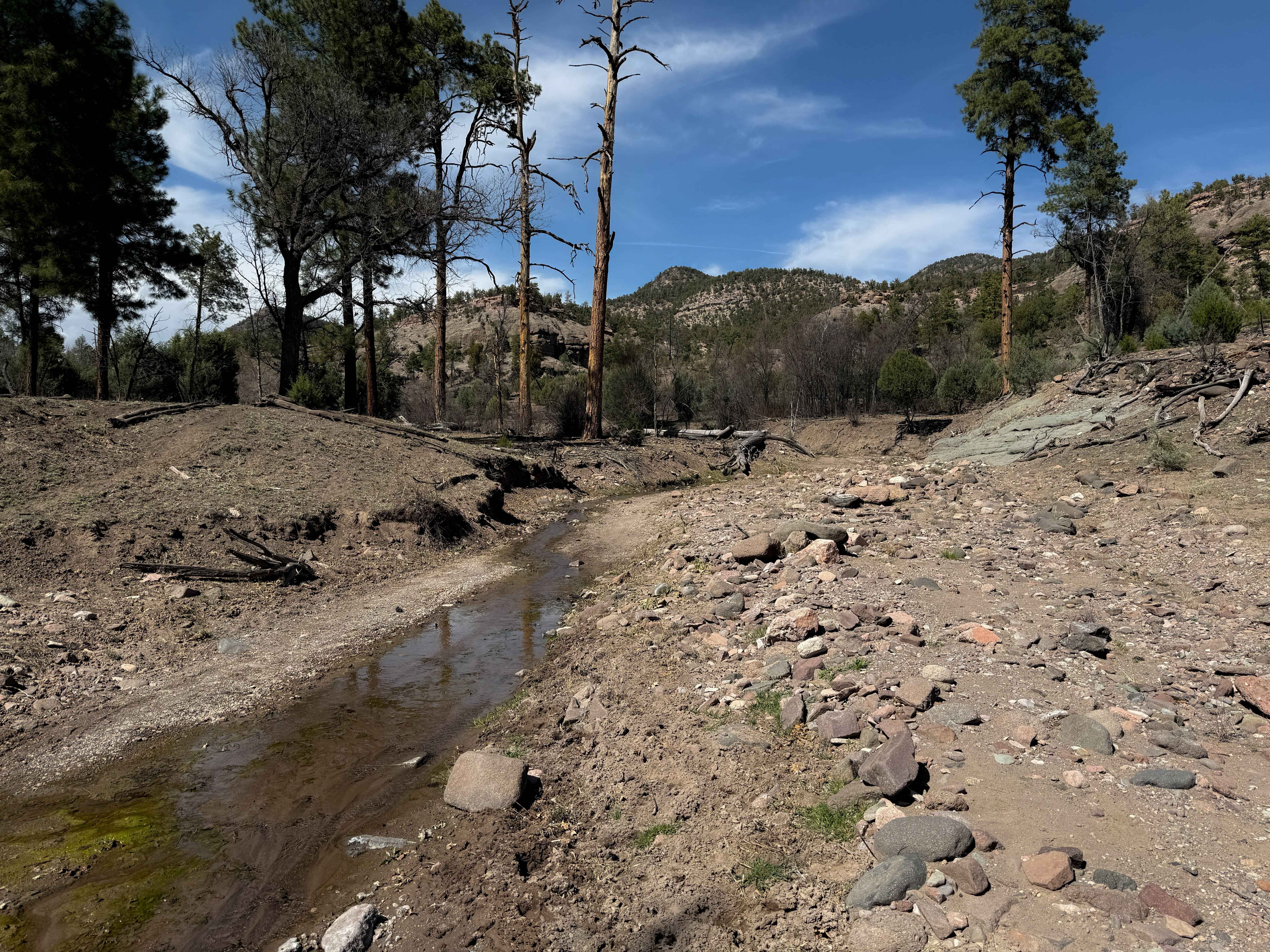
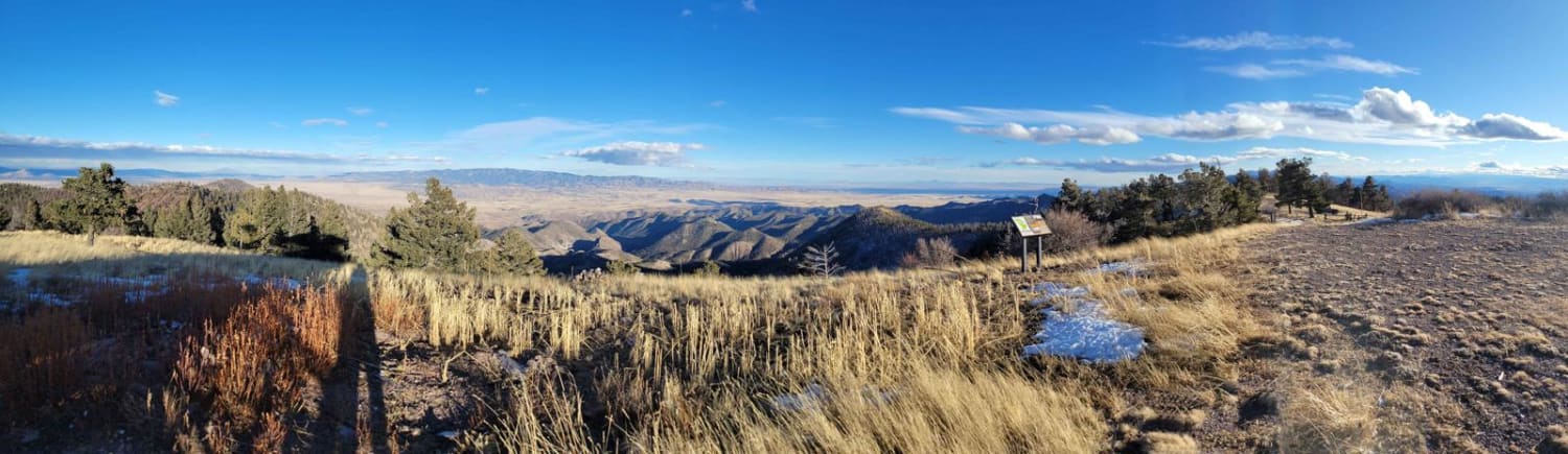
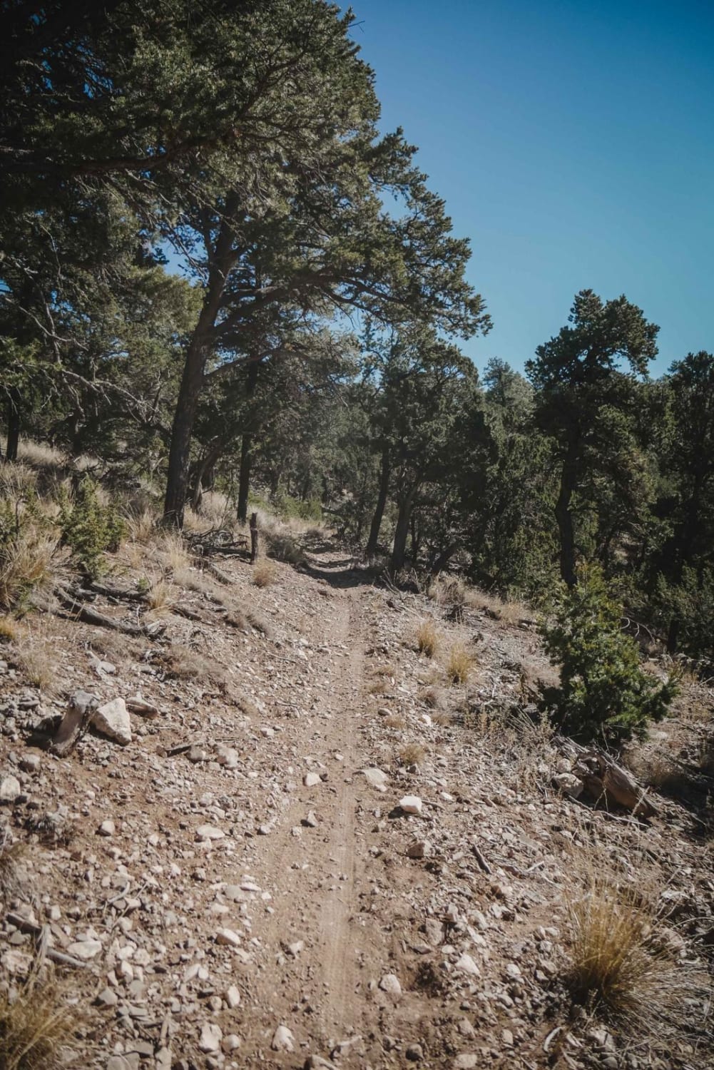
La Madera Loop is a highly diverse trail that offers many obstacles, terrain changes, and scenic views. The trail starts on softer dirt and is surrounded by trees before becoming a very lightly used and ungroomed or maintained trail that is beginning to show some signs of overgrowth. While the trail has a section just under a mile long and hard to see, the two tracks are still visible enough to follow. After approximately 2 miles from its north entrance, the trail begins to ascend and has some significant rutting up to 16 inches in depth, with some of it being off-camber. Moving further along the trail, the dirt surface gradually becomes more rocky, with some rocks just over 14 inches in size. A peak elevation of 8,060ft is reached just short of 4 miles from the north entrance before the descent begins, and the surface changes to primarily larger loose rocks up to 18 in size on a very narrow section of the trail. Portions of this section are moderately off-camber until you make the sharp left at 4.4 miles from the north entrance, where it becomes even more narrow and off-camber as you descend a steeper grade portion of the road. This trail area shows significant signs of rock falls, downed trees, erosion, and washouts, which will worsen after wet weather. The remainder of the trail continues to descend and gradually changes to a surface combination of dirt and smaller rocks. As the trail continues to descend at its southern end, views of the Santa Fe Mountains are visible, with some spots offering unobstructed views. Service in the area is spotty and very weak, where present, with T-Mobile and Verizon.
Photos of La Madera Loop FSR-222E
Difficulty
Trail features deep rutting up to 16 inches in depth with the potential of becoming deeper after rain or run off from snow melt. Several short steep grades on loose rocky surfaces, larger loose rocks up to 18 inches in size. Trail can be very narrow in some sections due to shelf roads lower in the canyon section or due to foliage overgrowth.
Status Reports
La Madera Loop FSR-222E can be accessed by the following ride types:
- High-Clearance 4x4
- SUV
- SxS (60")
- ATV (50")
- Dirt Bike
La Madera Loop FSR-222E Map
Popular Trails
Bear Springs Road 266
Mount Withington via Monica Saddle
West Boundary
The onX Offroad Difference
onX Offroad combines trail photos, descriptions, difficulty ratings, width restrictions, seasonality, and more in a user-friendly interface. Available on all devices, with offline access and full compatibility with CarPlay and Android Auto. Discover what you’re missing today!