Kiowa Mountain
Total Miles
9.6
Technical Rating
Best Time
Spring, Summer, Fall
Trail Type
Full-Width Road
Accessible By
Trail Overview
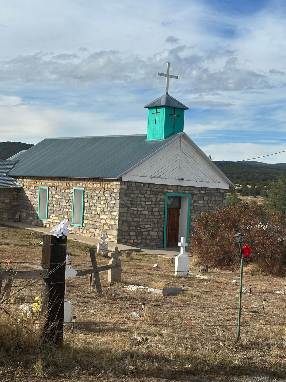
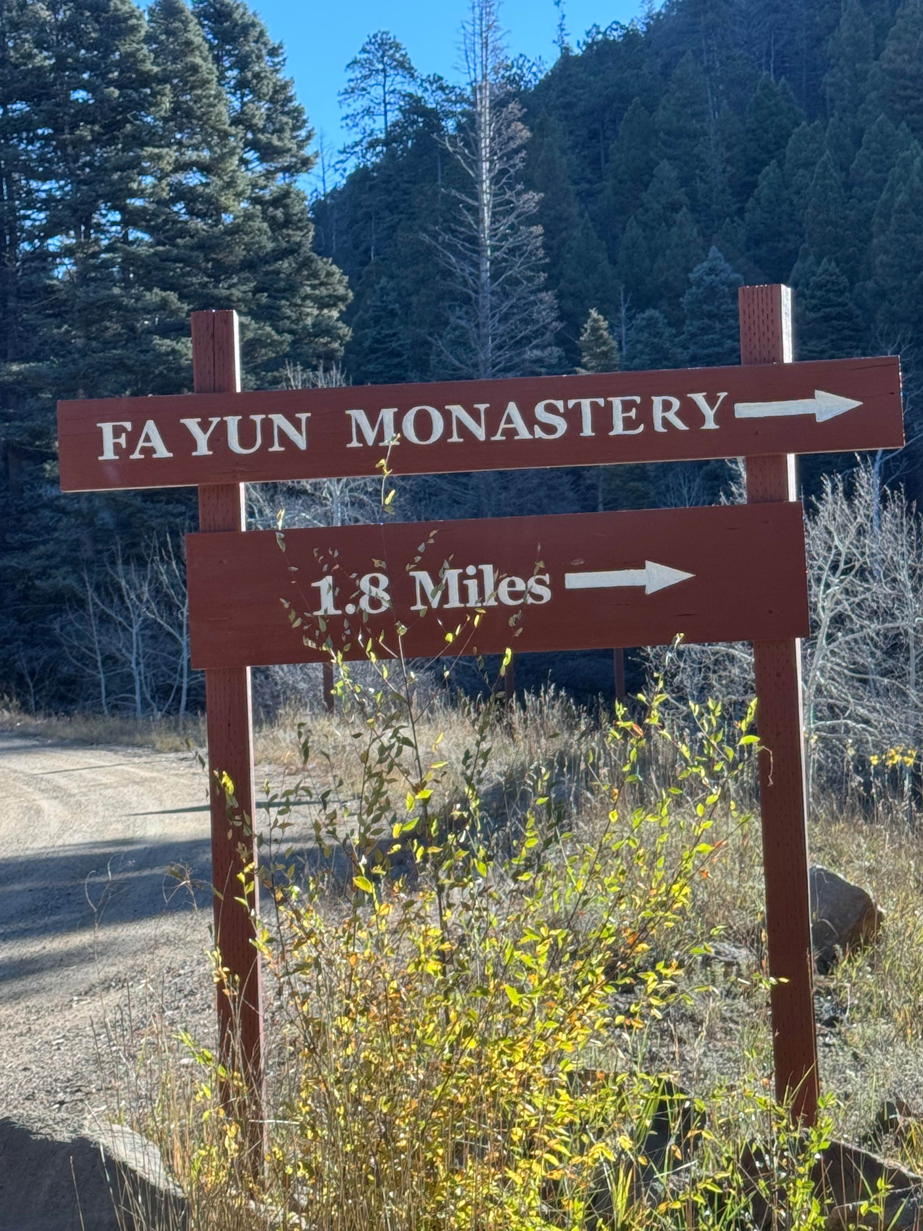
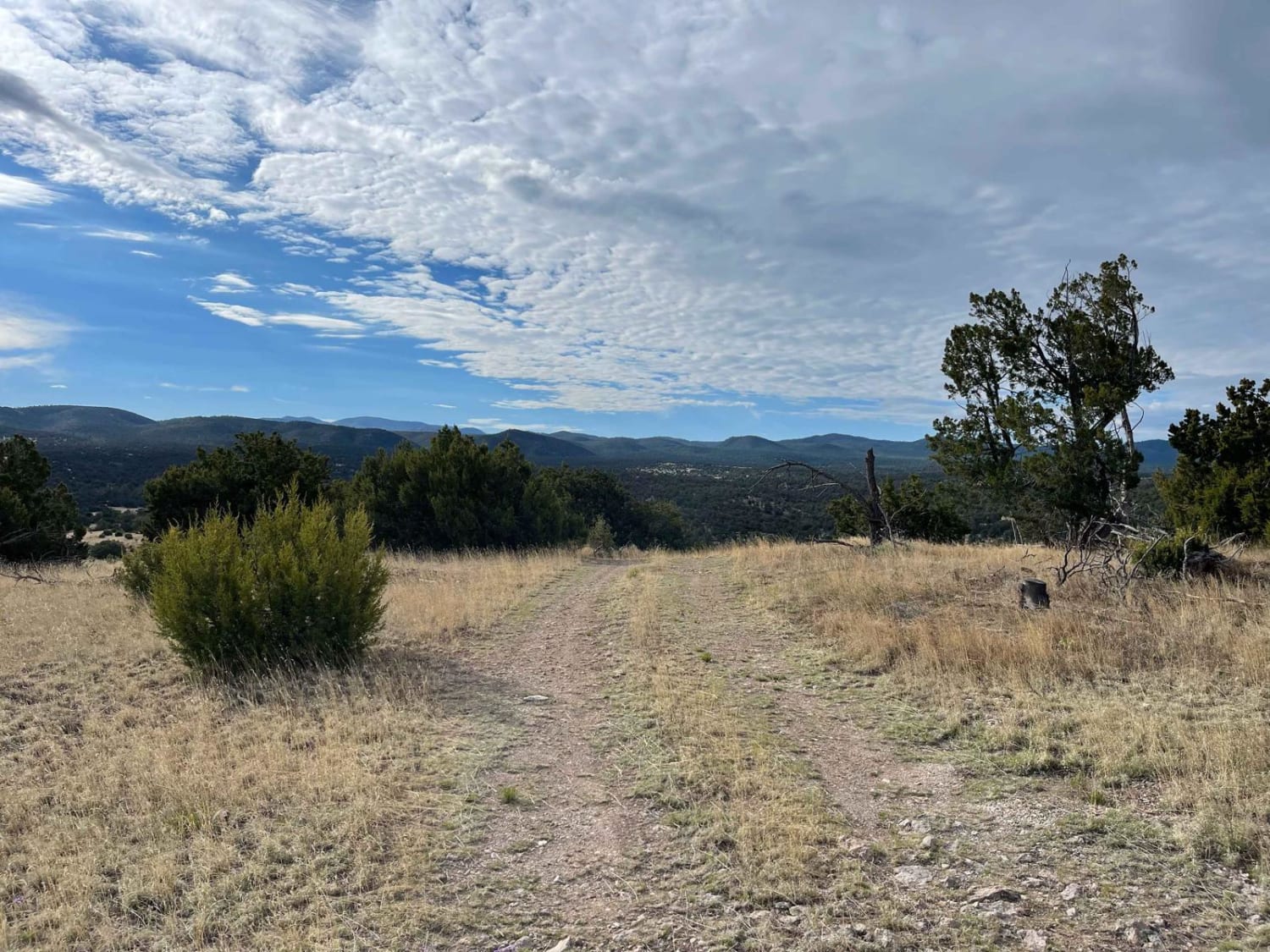
The Kiowa Mountain trail does a partial loop around the base of Kiowa Mountain, providing a hiking opportunity to make it to the Kiowa Lookout at the summit. The terrain worsens from the trail entrance approximately 3.5 miles off of FSR-45. The trail begins on a decently maintained dirt and gravel surface just over a single vehicle width before it turns to a primarily rocky and rutted surface that narrows due to foliage and brush on either side of the trail. Some loose and grade-set rocks can be up to 14" in size, but in most cases, the trail is wide enough to be avoided, depending on line choice. Some shorter, steeper grades along the route with loose surface media should be easily completed by the most high-clearance AWD and stock 4WD vehicles. Expect the trail to be very muddy after rain or snow melt, with several areas that will hold standing water and become deeper mudholes. Cell service is weak for most of the trail but stronger at high elevation points. Dispersed camping is permitted along this trail's entire length, providing almost unlimited opportunities and varying camping experiences. The trail ends abruptly along FSR-713A, and then changes to FSR-110A. While the trail does continue, the clear trails beyond this point are labeled as "closed road" with no visible legal turnoffs.
Photos of Kiowa Mountain


Difficulty
Vehicles will need to be able to traverse loose rocky surfaces, loose rocks up to 14 inches in size and a few short steeper grades. Rutting can be deeper in some sections, averages around 12 inches in depth, but will become worse after wet weather and snow melt. Brush and foliage does impeded on the trail in some of the narrow sections and has the potential to cause minor paint damage and trail rash.
Status Reports
Kiowa Mountain can be accessed by the following ride types:
- High-Clearance 4x4
- SUV
- SxS (60")
- ATV (50")
- Dirt Bike
Kiowa Mountain Map
Popular Trails
Fourth of July Campground

Montoso Peak
Capulin Forest Road
Cibola Overlook
The onX Offroad Difference
onX Offroad combines trail photos, descriptions, difficulty ratings, width restrictions, seasonality, and more in a user-friendly interface. Available on all devices, with offline access and full compatibility with CarPlay and Android Auto. Discover what you’re missing today!