Eagle Lakes
Total Miles
11.5
Technical Rating
Best Time
Spring, Summer, Fall, Winter
Trail Type
Full-Width Road
Accessible By
Trail Overview
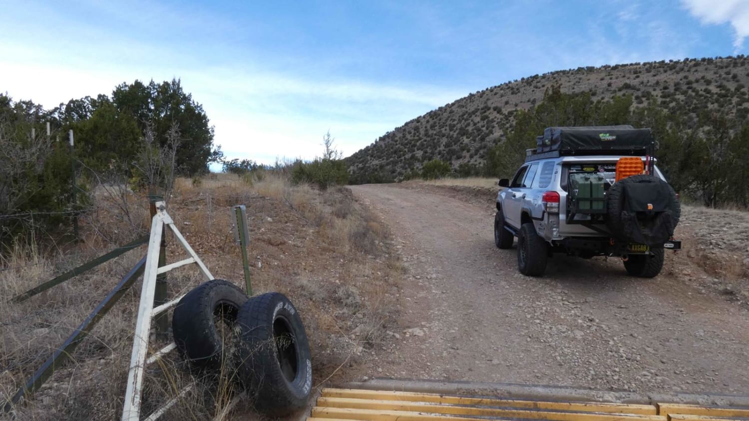
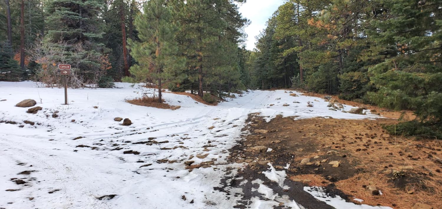
Eagle Lakes is a canyon-to-ridge trail that can be accessed and completed from its east or west entrance. From the east entrance, the trail starts lower in a valley and ascends to its ridge line before dropping back down on the west end. The surface starts differently on each end, with a primarily rocky surface coming from the east and changing to a smoother and more maintained dirt surface on the west end. No obstacles larger than 12" with the exception of some rutting that should be expected to become worse after rain or snow and some potential water crossings. At higher portions of the trail, the Capitan and Sierra Blanca mountains are clearly visible as well as views to the south. There is a stretch of clearly labeled private land towards the western end of the trail, and with the exception of the private land area, there are many dispersed camping areas along the route. Cell phone service is weak/spotty in the lower canyon areas, becoming excellent along the ridge. The trail is wide enough for two vehicles and although obstacles and challenges are limited, there are some small rock gardens along the way and the trail will be easily completed in most 4x4s or AWDs. The west end of the trail does show signs of burn scar and does have flash-flood warning signs with lower areas showing signs of previous water runoff in excess of 18", be sure to take note of the weather in the area.
Photos of Eagle Lakes
Difficulty
Larger loose rocks on the eastern end of the trail. Rock gardens with obstacles up to 10". Rutting with the potential for muddy areas and shallow water crossings.
Status Reports
Eagle Lakes can be accessed by the following ride types:
- High-Clearance 4x4
- SUV
- SxS (60")
- ATV (50")
- Dirt Bike
Eagle Lakes Map
Popular Trails

Meadow Creek Road-FS 149
Apache Peak Road

San Geronimo Back Road
The onX Offroad Difference
onX Offroad combines trail photos, descriptions, difficulty ratings, width restrictions, seasonality, and more in a user-friendly interface. Available on all devices, with offline access and full compatibility with CarPlay and Android Auto. Discover what you’re missing today!
