Burleson Ridge
Total Miles
38.7
Technical Rating
Best Time
Spring, Summer, Fall
Trail Type
Full-Width Road
Accessible By
Trail Overview
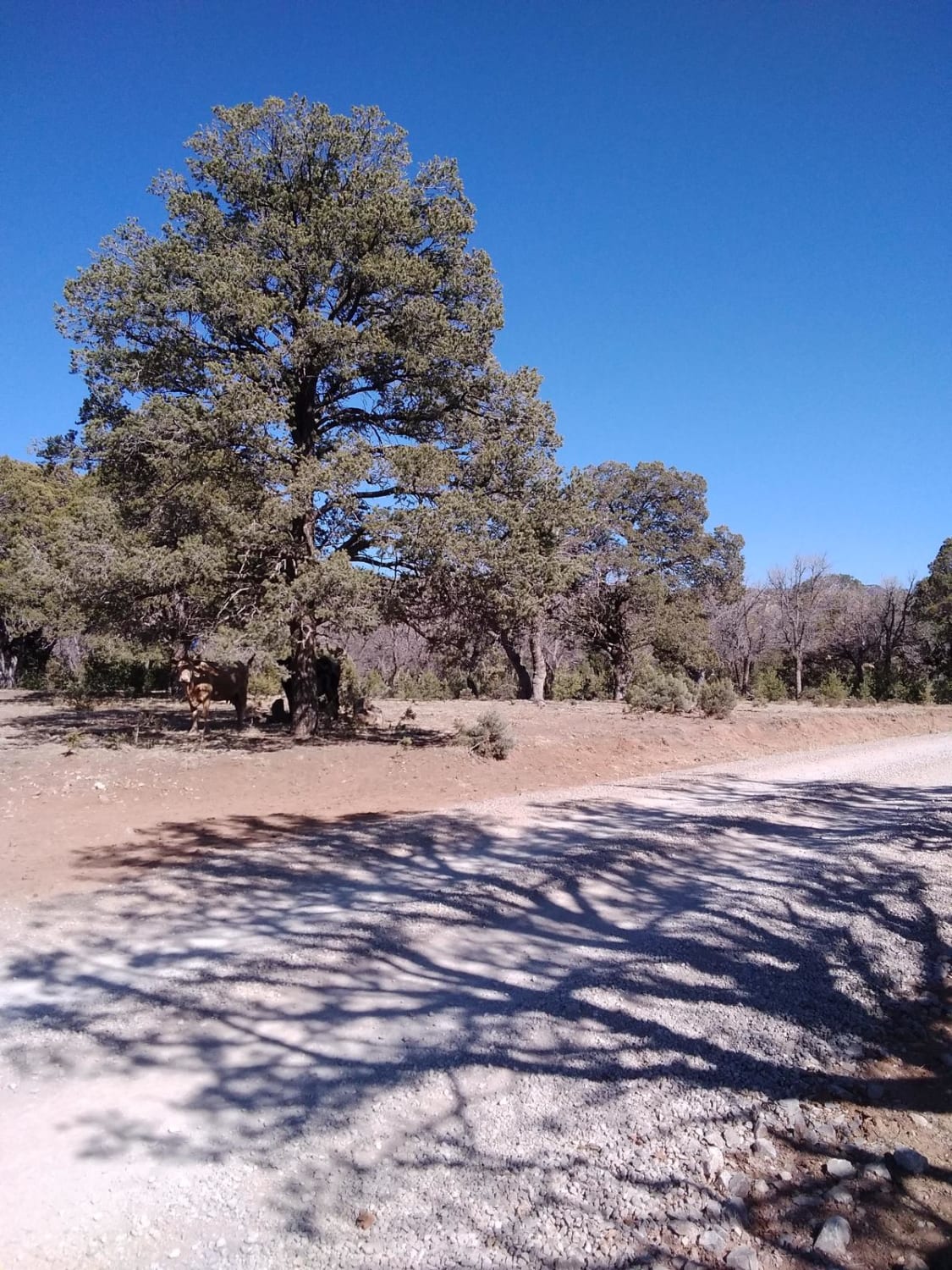
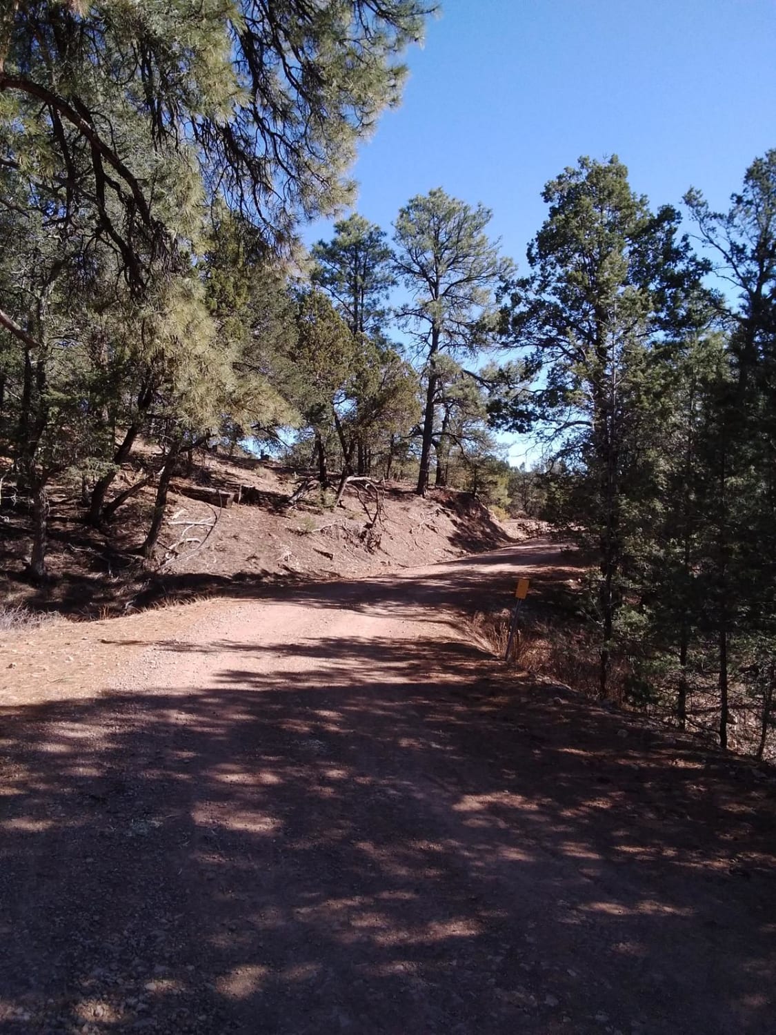
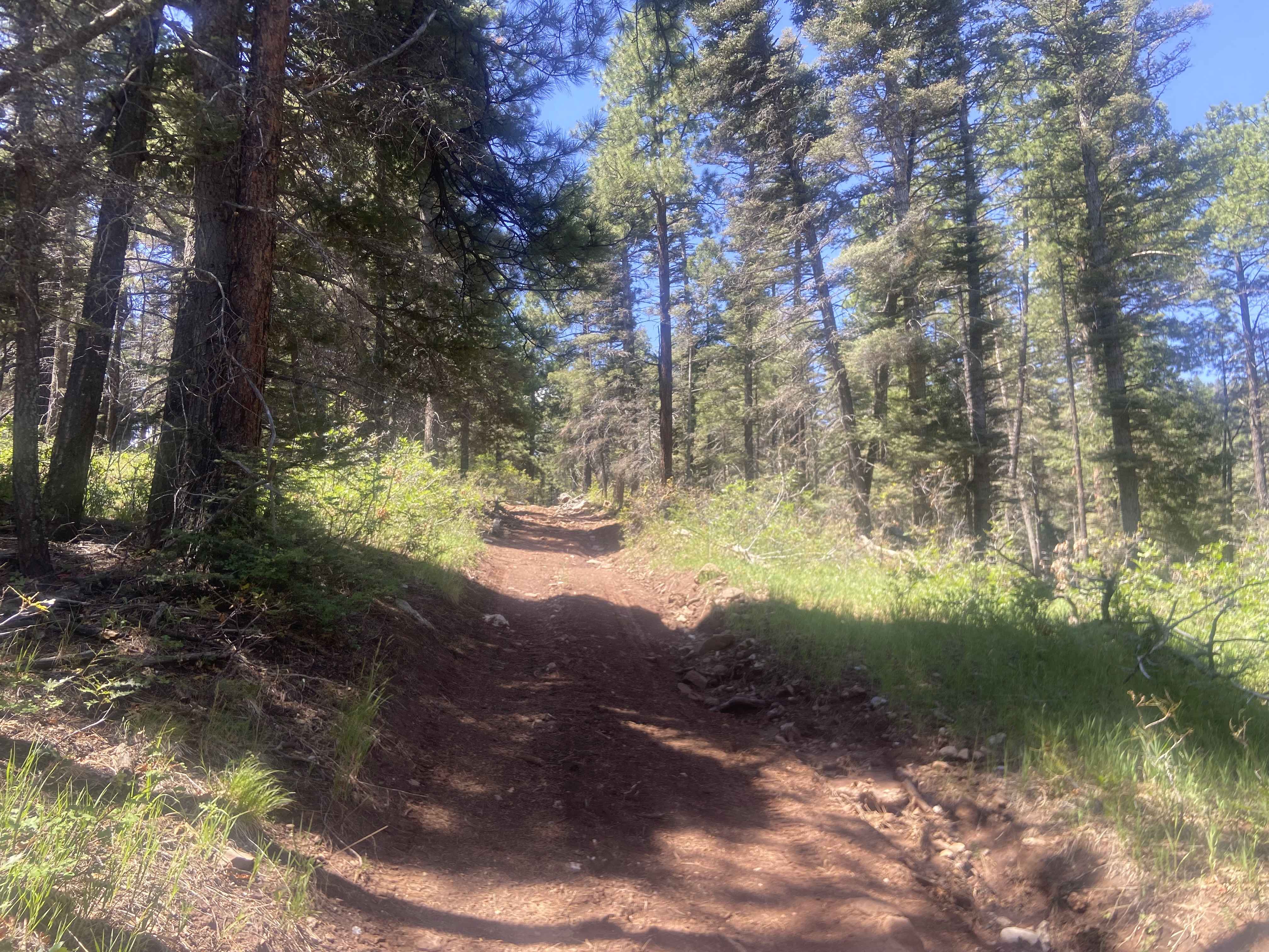
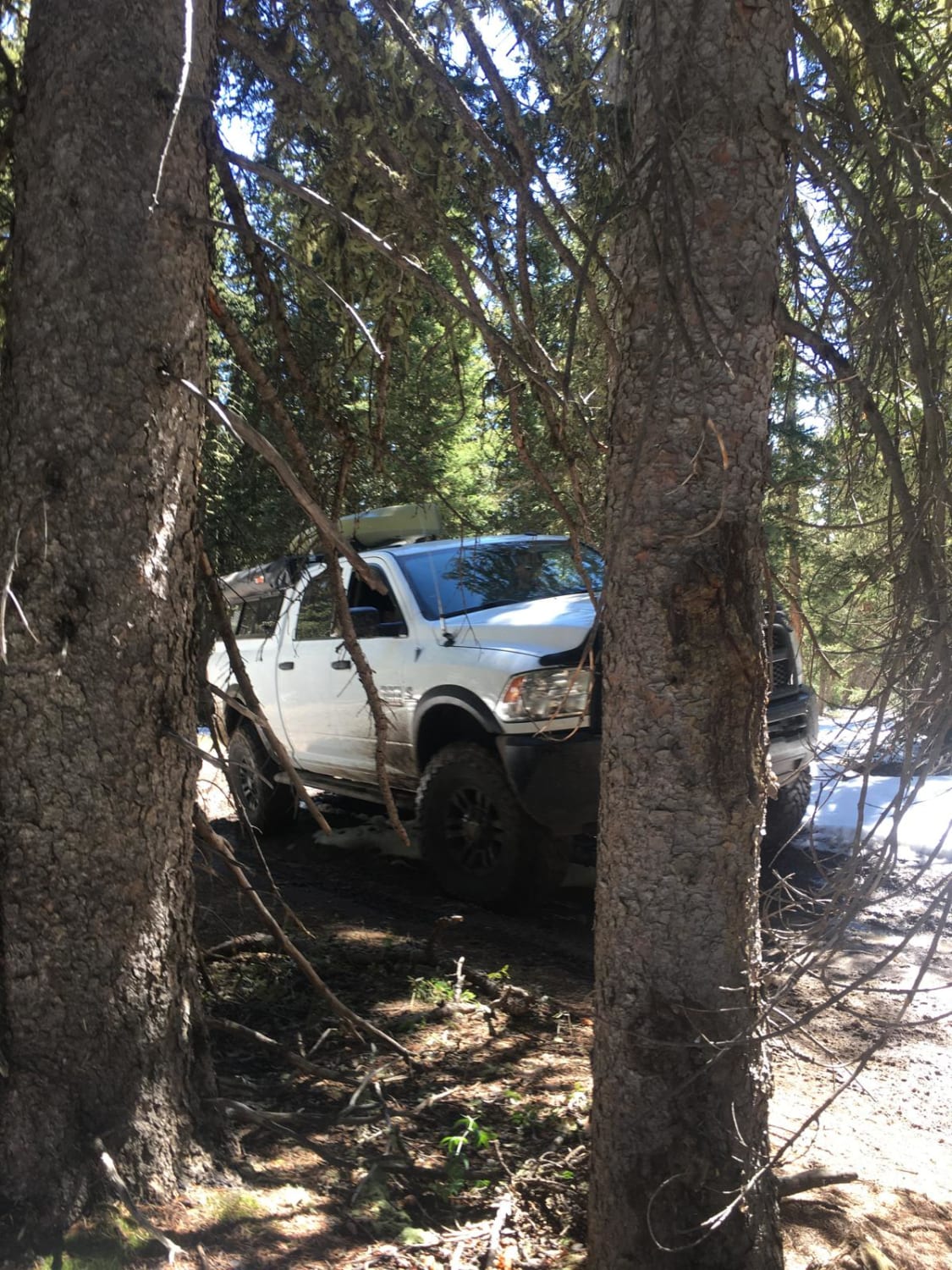
This spur runs off of Westside Road for three miles and ends at a locked gate, but there is a decent campsite on the right and ATV trails to the left. The end has a large staging area to offload your rigs. This is one of the many spurs along the main road. Signs for Barbary sheep are scattered throughout. This trail provides access to the Kilbourne trail.
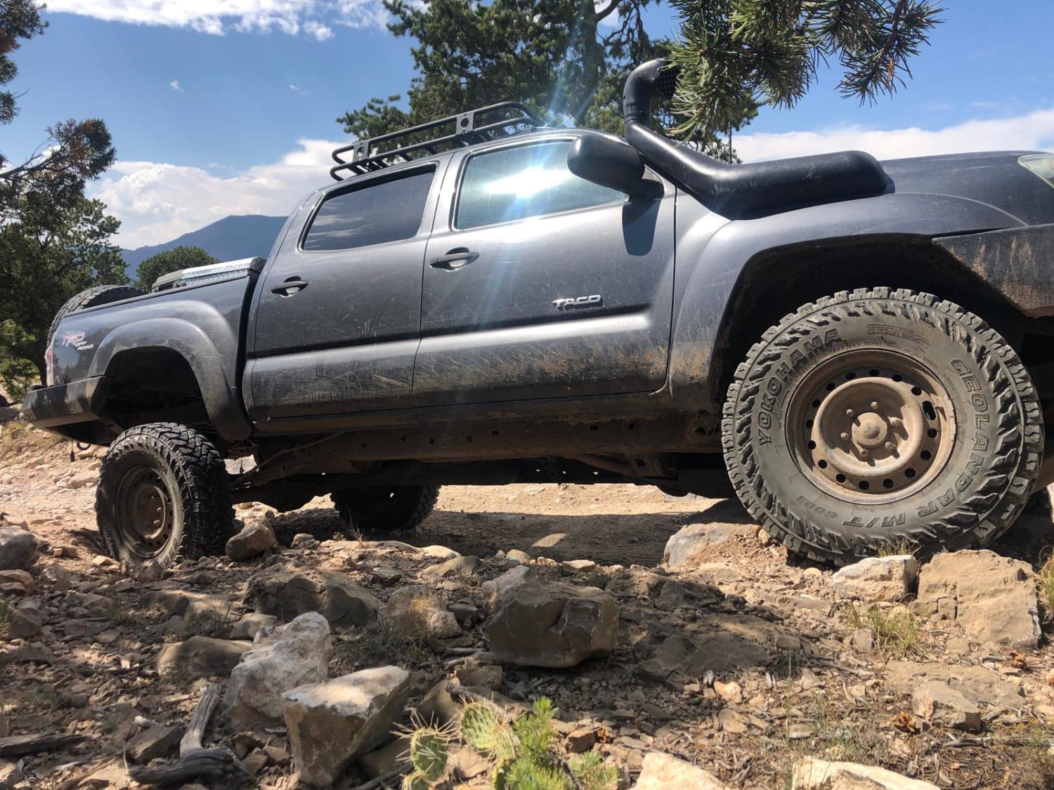
Photos of Burleson Ridge
Difficulty
There are some rutted areas and loose rock.
Status Reports
Burleson Ridge can be accessed by the following ride types:
- High-Clearance 4x4
- SUV
- ATV (50")
- Dirt Bike
Burleson Ridge Map
Popular Trails
Canada Ojitos

Sargent Canyon
Brazos Ridge HP
Cedro Peak
The onX Offroad Difference
onX Offroad combines trail photos, descriptions, difficulty ratings, width restrictions, seasonality, and more in a user-friendly interface. Available on all devices, with offline access and full compatibility with CarPlay and Android Auto. Discover what you’re missing today!