Brazos Ridge HP
Total Miles
29.0
Technical Rating
Best Time
Spring, Summer, Fall
Trail Type
Full-Width Road
Accessible By
Trail Overview
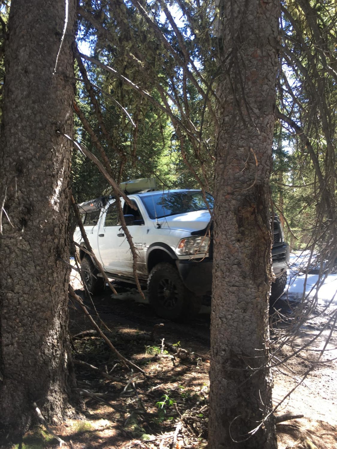
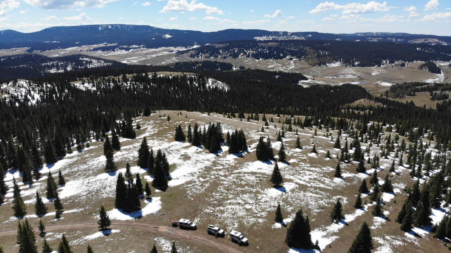
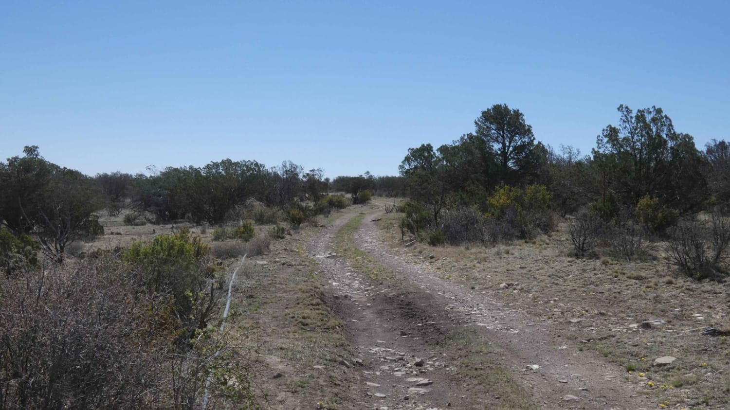
The Brazos Ridge HP skirts the southern half of the 19,000-acre Cruces Basin Wilderness in northern New Mexico. The elevation averages 10,000 feet, with a low point of 8,250 feet and peaking at 10,947 feet. Aspen and juniper chase each other through the altitude changes. Large ponderosa pines and birch make up the lower elevation coverage. While the road is primarily rock based, there are multiple mud holes and washouts that exceed 30" in places. Views are plentiful from all sections of the trail. Large, grassy meadows host range cattle and herds of elk. Multiple camping options are available, and be sure to bring your fishing gear, as the Rio de los Pinos is a Green Chile Fishery.
Photos of Brazos Ridge HP
Difficulty
Most of the road is rock base with occasional wash-outs that exceed 2 feet in depth and width. Deep mud holes in shaded areas remain full even when area is dry.
Status Reports
Brazos Ridge HP can be accessed by the following ride types:
- High-Clearance 4x4
- SUV
- Dirt Bike
Brazos Ridge HP Map
Popular Trails

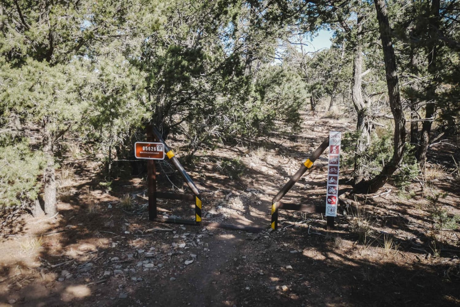
Rattlesnake

Devils Ridge
The onX Offroad Difference
onX Offroad combines trail photos, descriptions, difficulty ratings, width restrictions, seasonality, and more in a user-friendly interface. Available on all devices, with offline access and full compatibility with CarPlay and Android Auto. Discover what you’re missing today!