Big Bear
Total Miles
3.6
Technical Rating
Best Time
Spring, Fall, Winter, Summer
Trail Type
Full-Width Road
Accessible By
Trail Overview
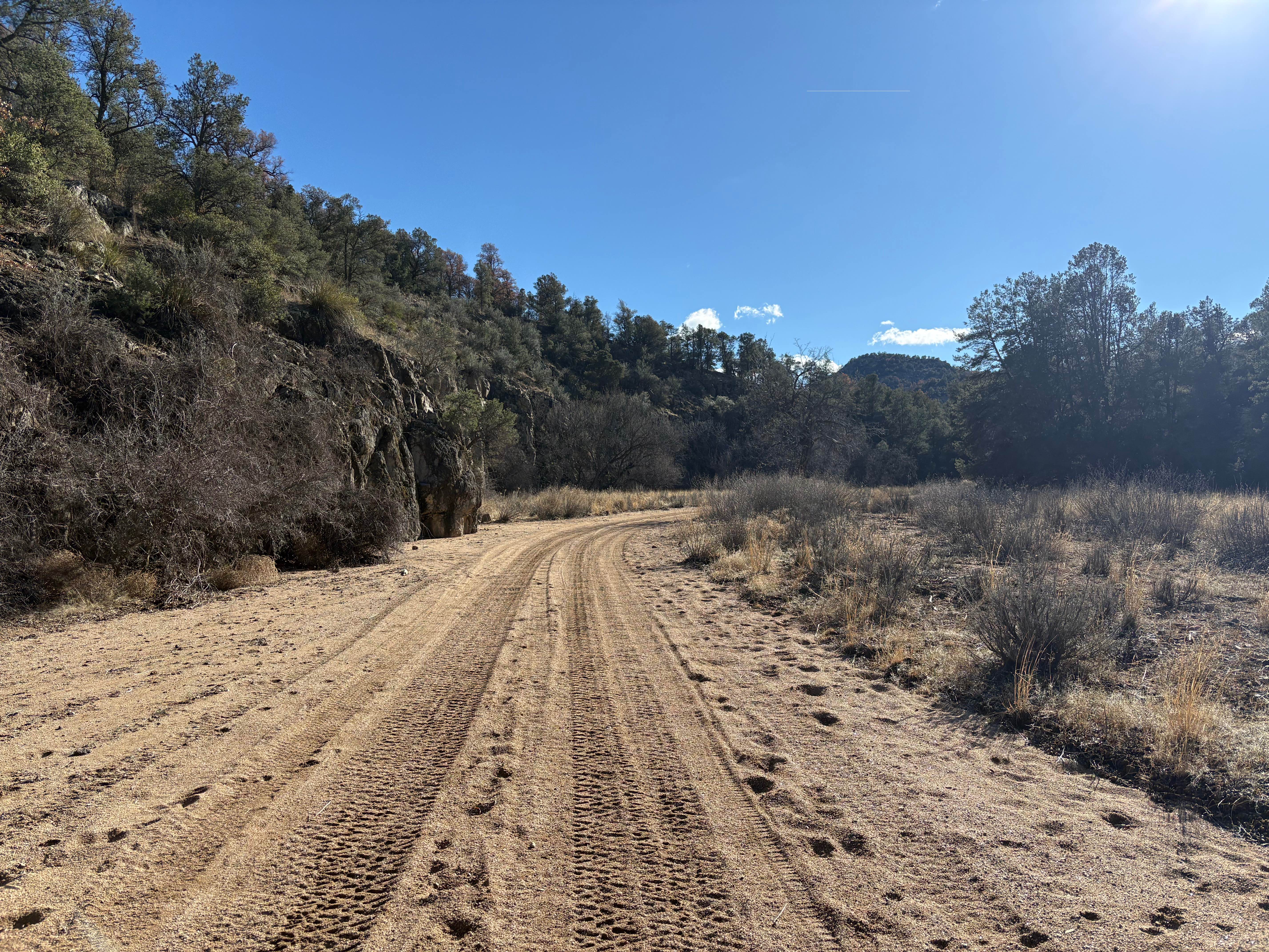
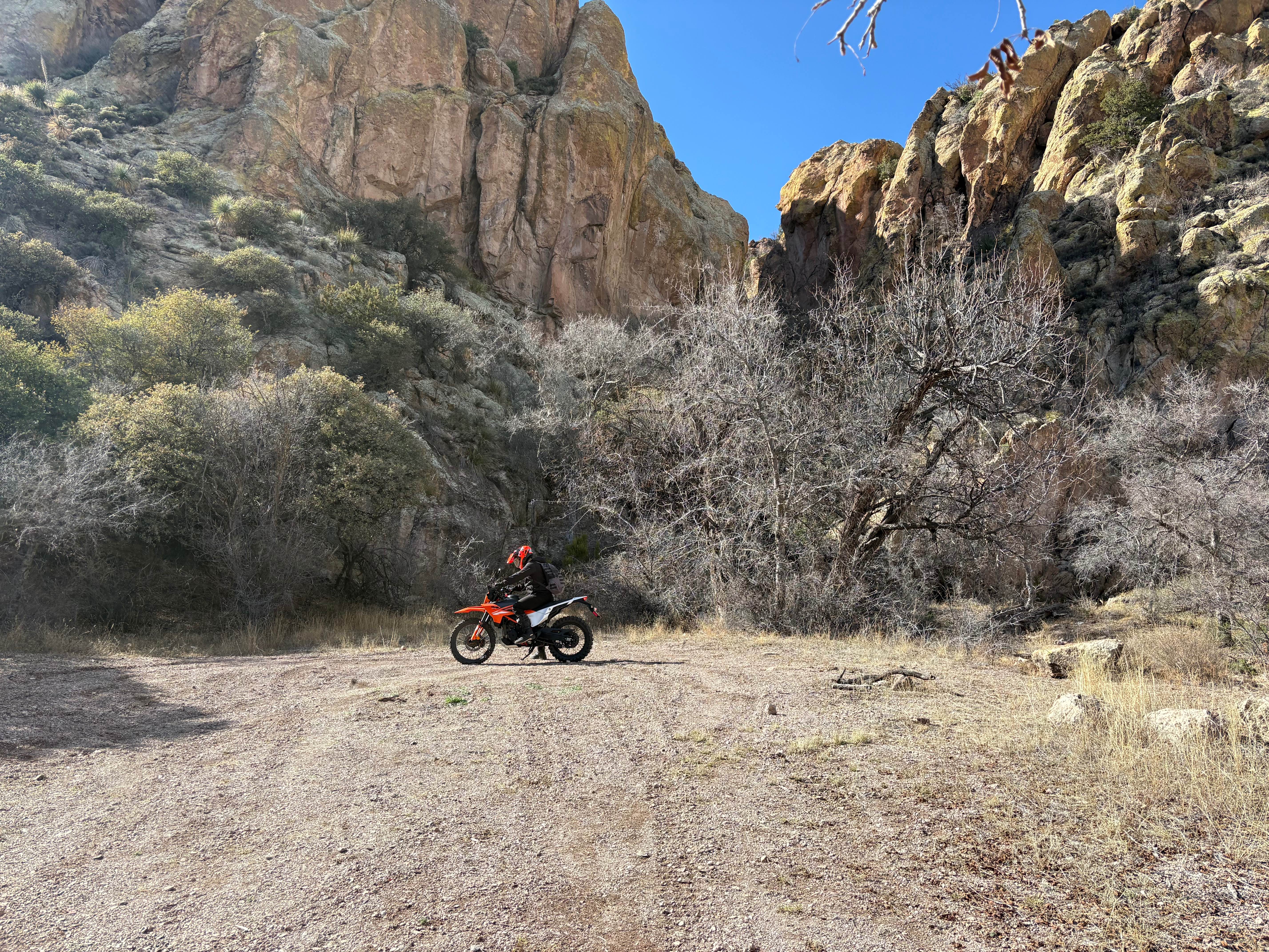
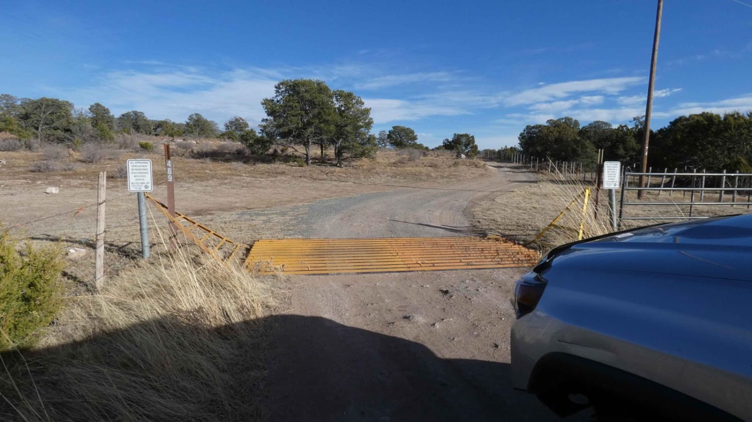
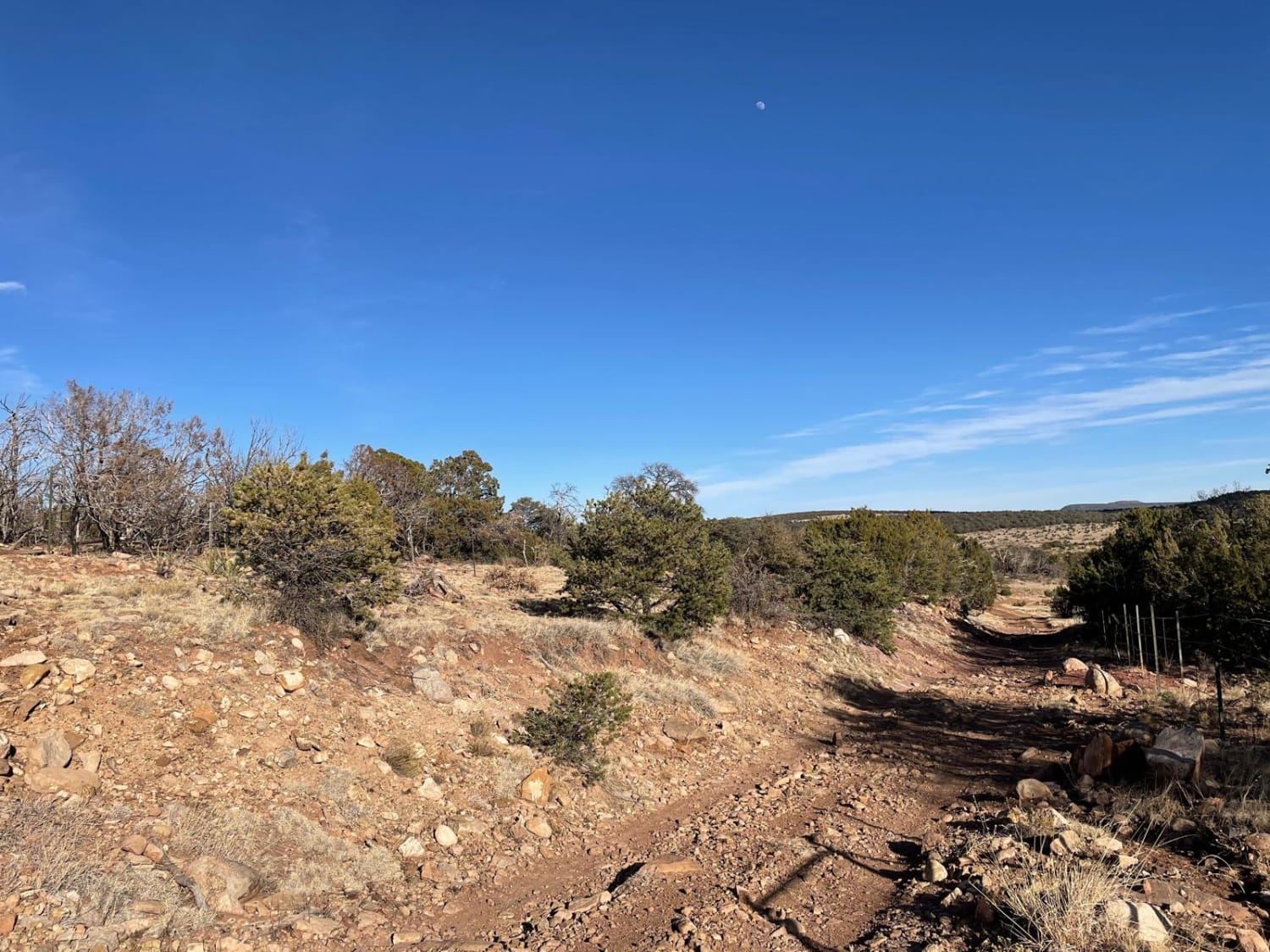
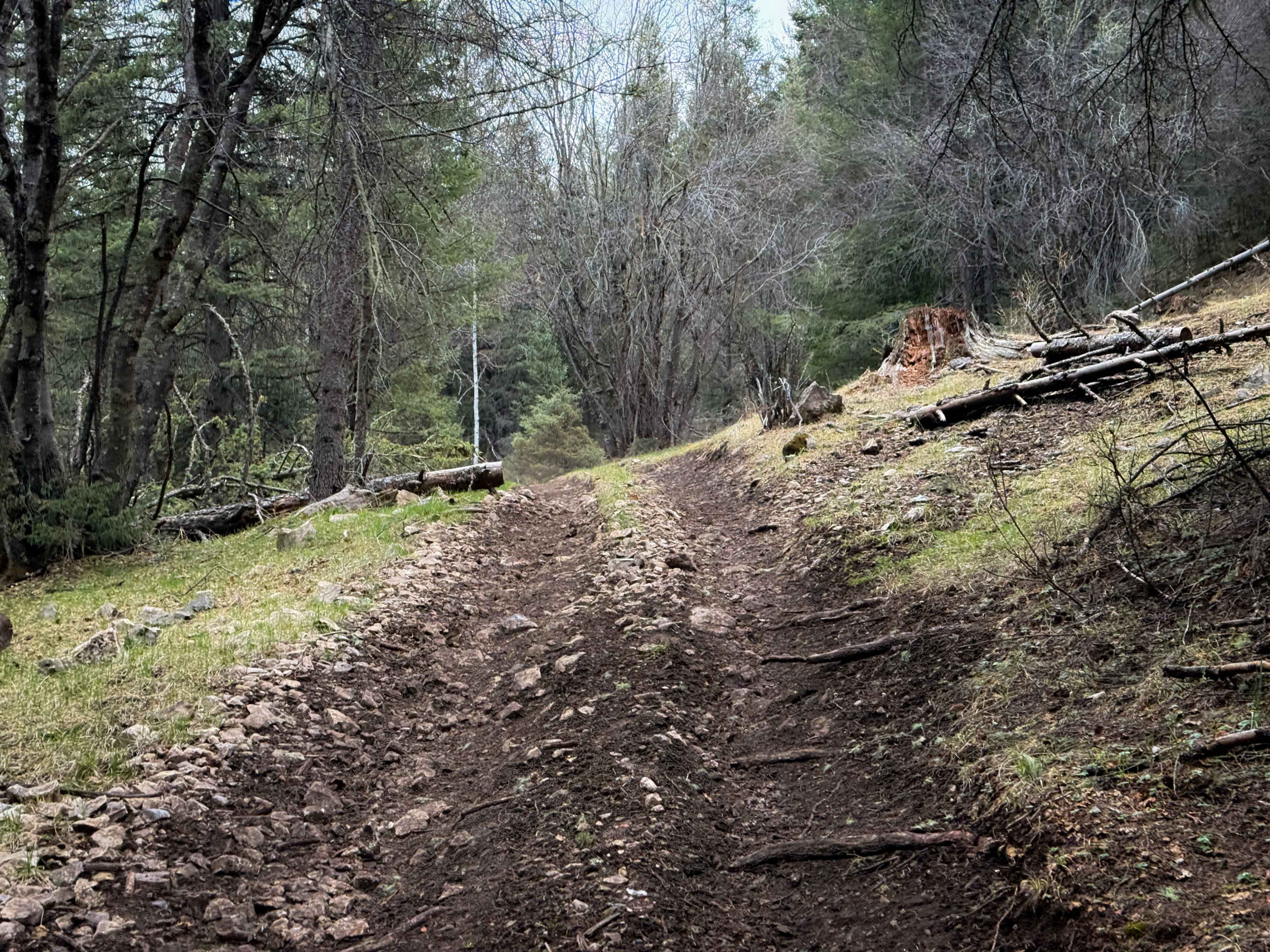
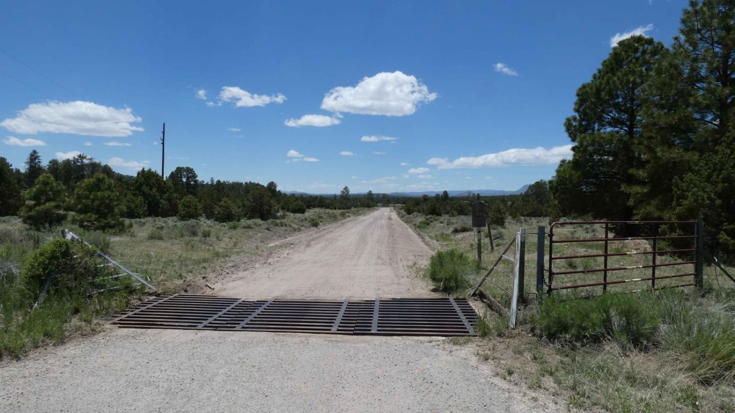
Big Bear Road (FS 810) travels southwest 3.6 miles one way from a junction with Saddle Rock Canyon Road. The road is wide, and the surface consists entirely of deep sand. The sand is firm during the winter or the rainy season, but expect it to be loose and uneven during dry months. There are several scenic and secluded camping spots to the west of the road. At 1 mile, the road intersects with the Gnarly Trail (Forest Trail 901) to the west: look for a narrow wash with a cairn. There are several other side paths to the west that lead to springs and small waterfalls. The trail dead-ends after 3.6 miles at a protected riparian zone. There is no outlet to the western segment of Big Bear or to Goat Canyon.
Photos of Big Bear
Difficulty
This trail features a sandy surface that can become unpredictable after rain.
Status Reports
Big Bear can be accessed by the following ride types:
- High-Clearance 4x4
- SUV
- SxS (60")
- ATV (50")
- Dirt Bike
Big Bear Map
Popular Trails
West-End Slope
Coyote Canyon
Hubbell Canyon- FS 9277
The onX Offroad Difference
onX Offroad combines trail photos, descriptions, difficulty ratings, width restrictions, seasonality, and more in a user-friendly interface. Available on all devices, with offline access and full compatibility with CarPlay and Android Auto. Discover what you’re missing today!