Arizona to Center Point Fire Station 2
Total Miles
5.9
Technical Rating
Best Time
Spring, Summer, Fall, Winter
Trail Type
Full-Width Road
Accessible By
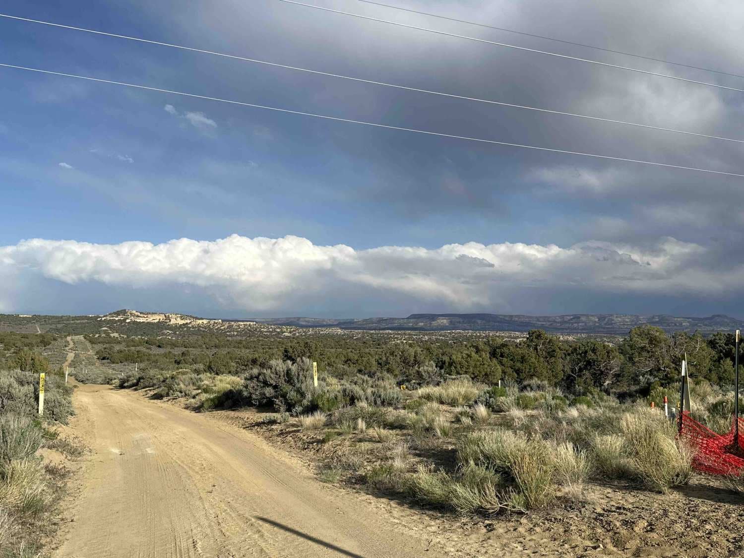
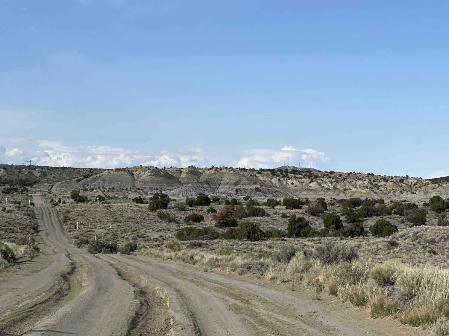
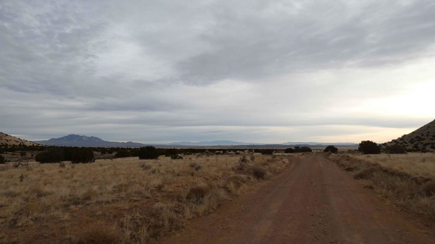
Trail Overview
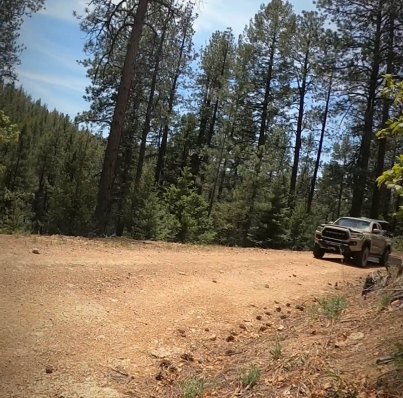
This trail is an unnamed oil road that cuts across BLM land and includes some spectacular views looking south towards Angel Peak and the badlands as well as looking north and northeast towards the Colorado Rockies and Aztec. There are some fairly steep inclines, stretches with heavy ruts, and some sandy stretches. Look for the hiking trailhead near the intersection with County Road 4945. This trail is also a great access point for several other trails that cut through the area leading to places like Outcrop Arch, Cerritos Canyon, and Potter Canyon.
Photos of Arizona to Center Point Fire Station 2
Difficulty
With heavy rutting and short, steep grades, this road is a 3 when dry and does not require but benefits from the use of 4WD. Beware of weather conditions like rain and snow; 4WD is essential and the trail is a good deal more difficult when this mostly-dry-clay road turns to mud.
Arizona to Center Point Fire Station 2 can be accessed by the following ride types:
- High-Clearance 4x4
- SUV
- SxS (60")
Arizona to Center Point Fire Station 2 Map
Popular Trails
Bear Spring

El Puertecito Pass
Pucker Falls
Santa Fe National San Geronimo Back Road
The onX Offroad Difference
onX Offroad combines trail photos, descriptions, difficulty ratings, width restrictions, seasonality, and more in a user-friendly interface. Available on all devices, with offline access and full compatibility with CarPlay and Android Auto. Discover what you’re missing today!