972
Total Miles
2.1
Technical Rating
Best Time
Spring, Fall
Trail Type
50" Trail
Accessible By
Trail Overview
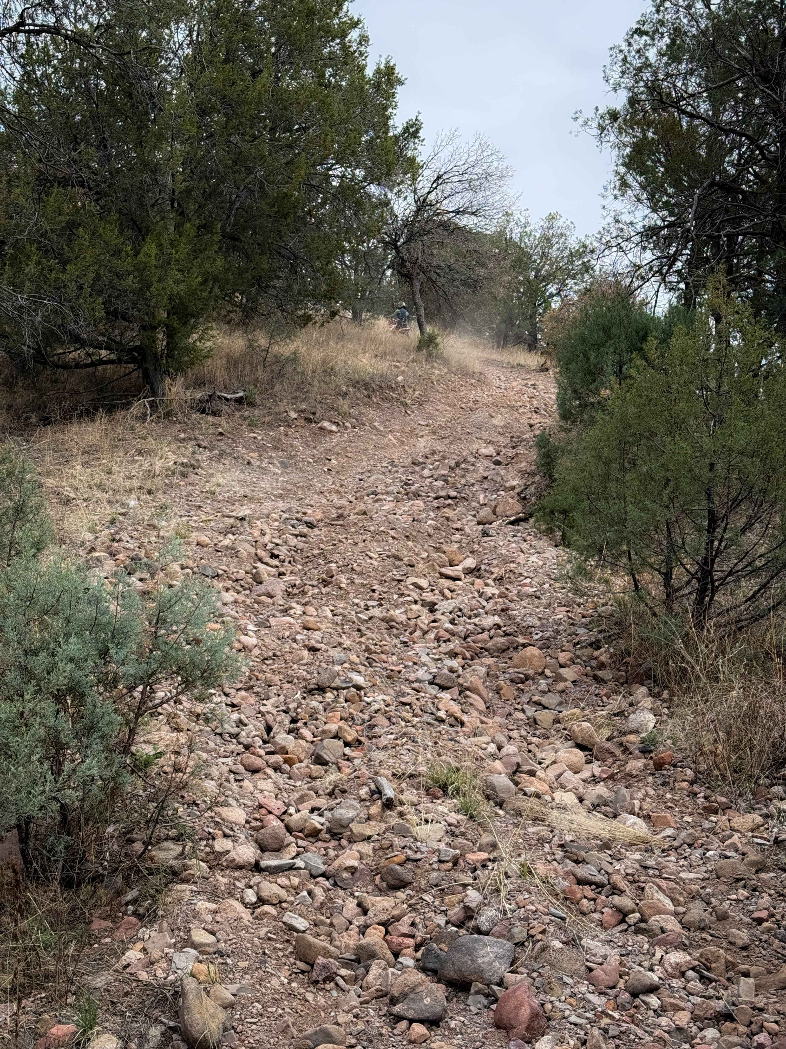
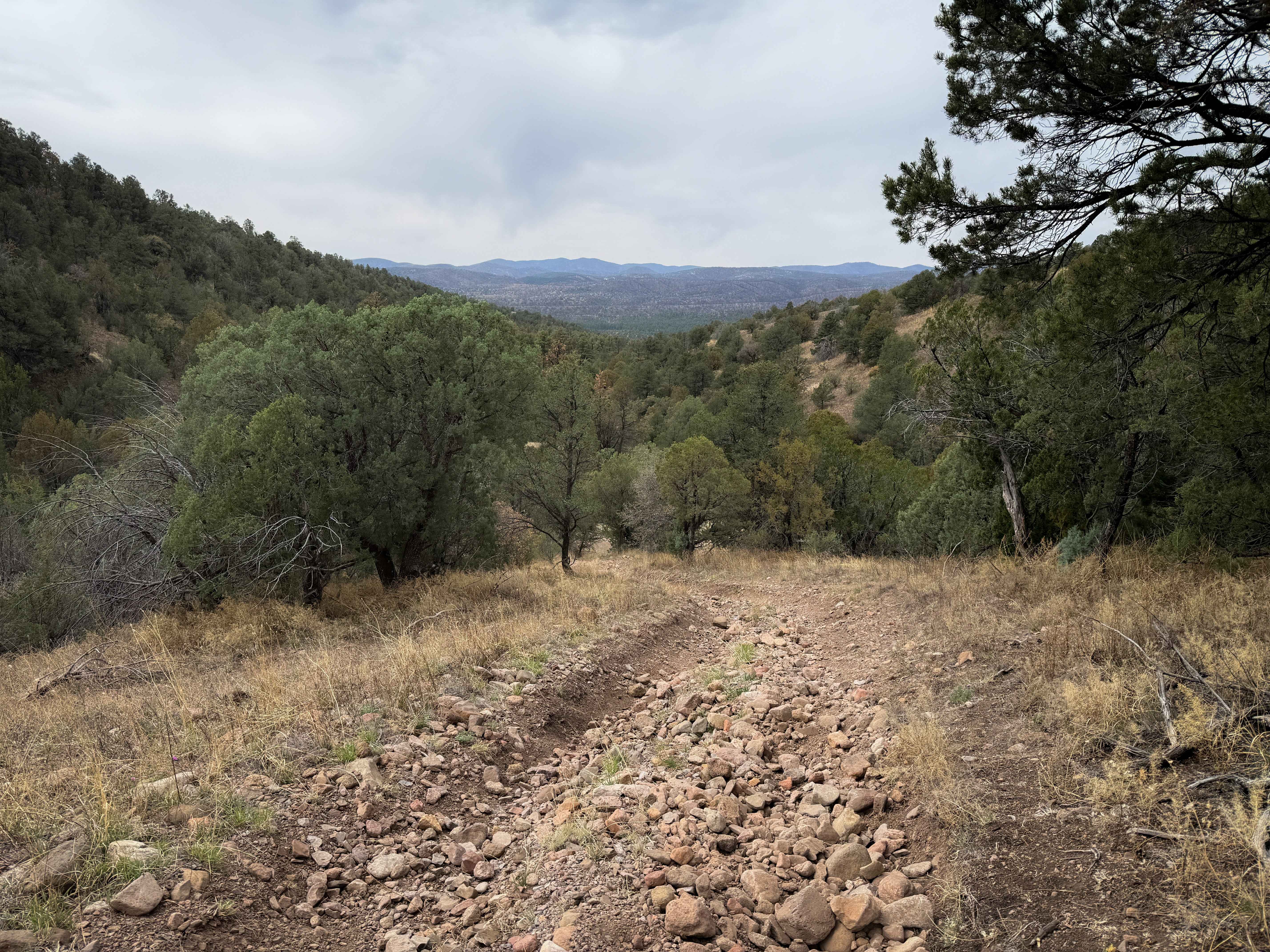
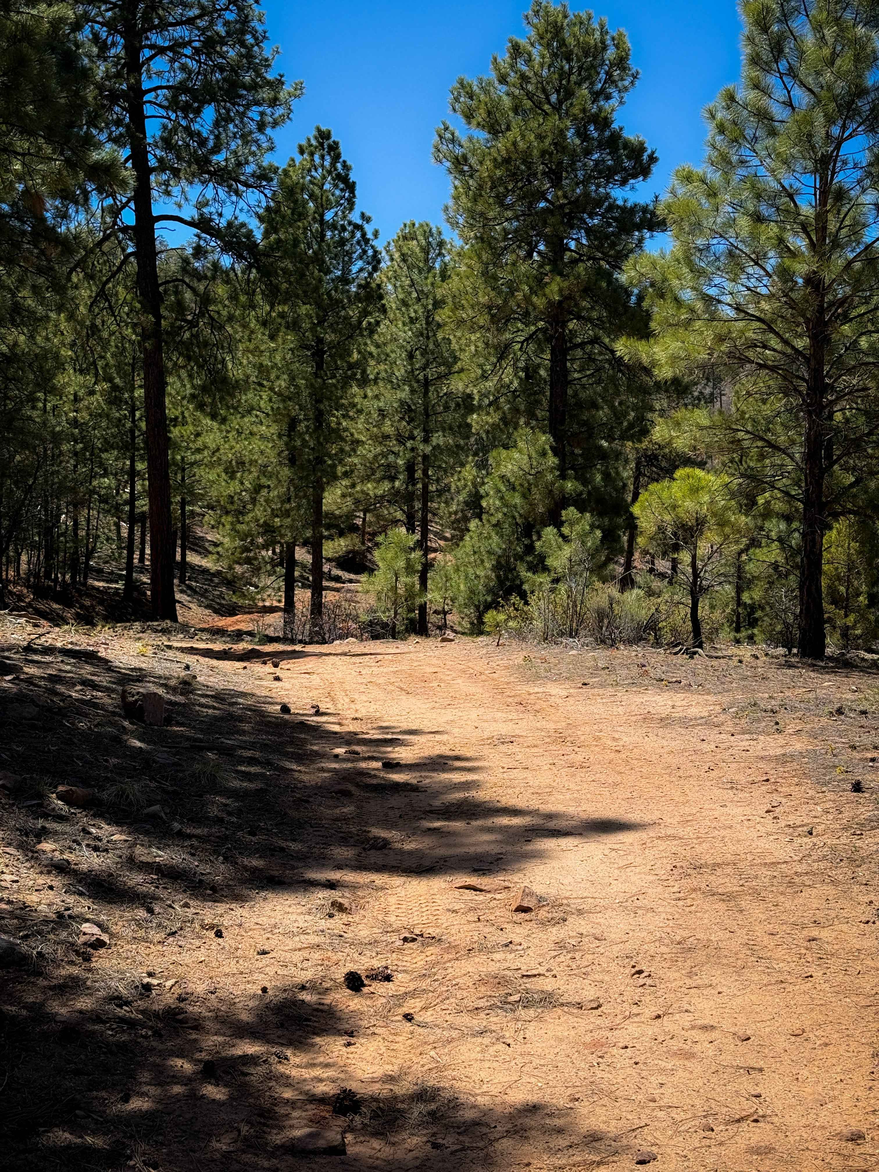
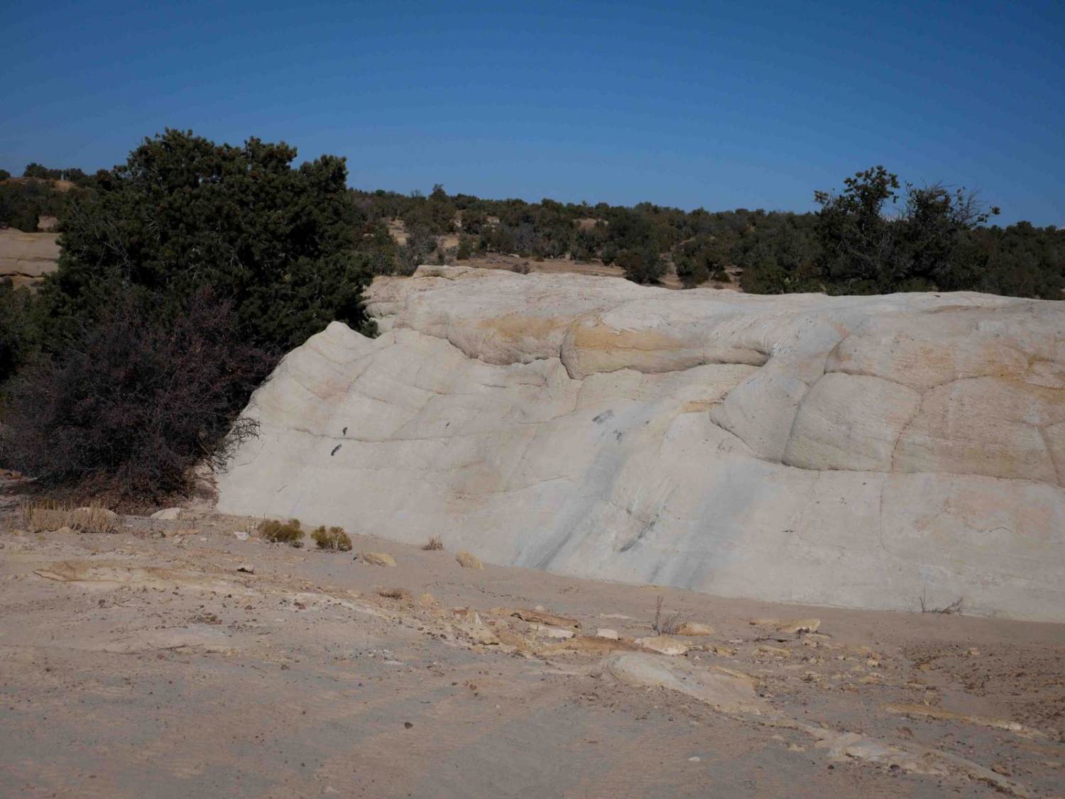
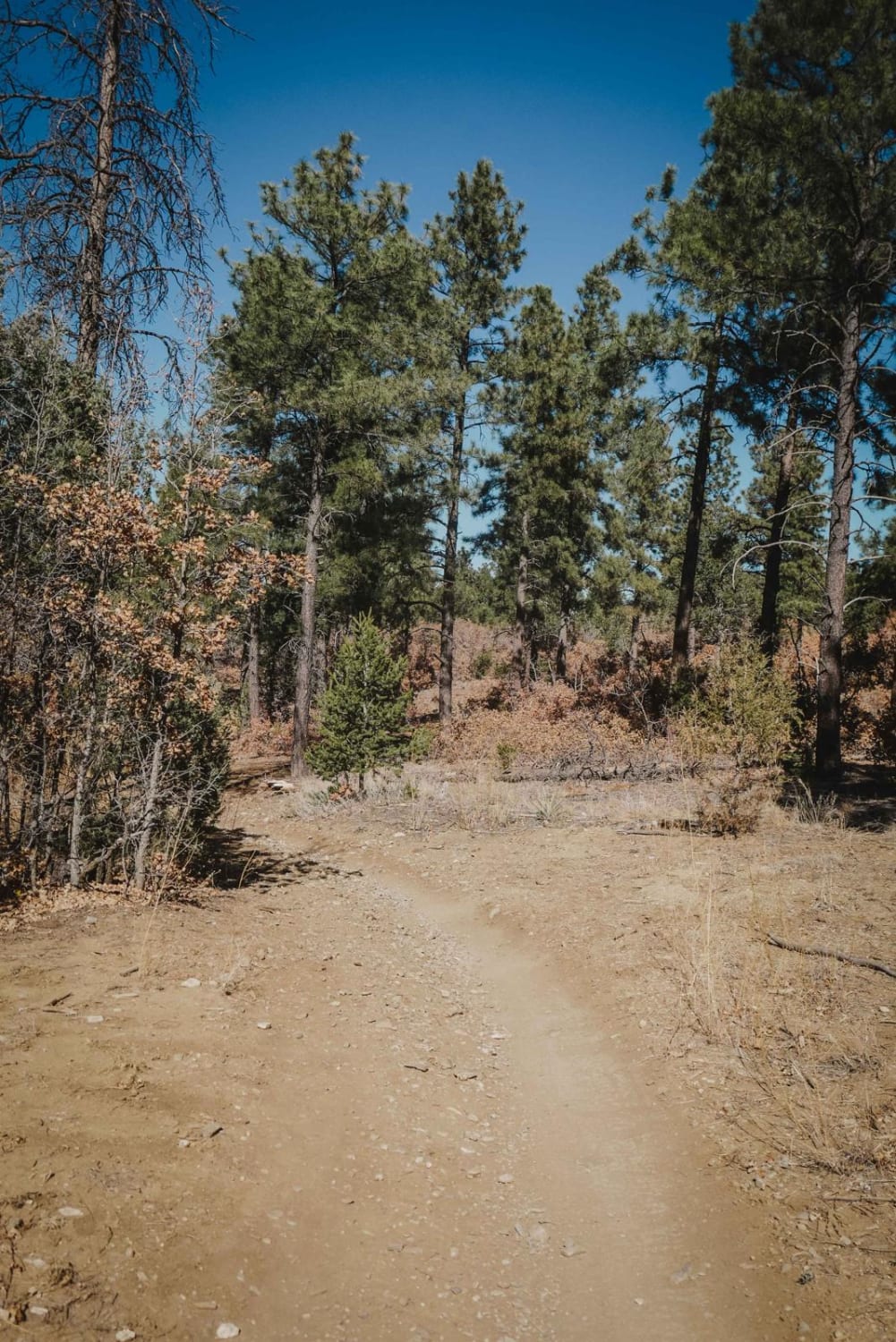
Trail #972 is 2.1 miles long through the Gila National Forest. It is accessed on the north end from Trail #968, or near the southern end from Trail #974; however, the southern end ends at a locked gate on private property. The trail is mostly easy, except for one really steep hill near the northern end, which is full of loose baby head-sized rocks that make it hard to maintain traction on the climb. The climb is only for a few hundred feet, but it would really test the inexperienced rider due to such loose terrain on a steep slope. The loose rocks ping you around and make it hard to stay straight or keep momentum. The rest of the trail is much easier, with fewer rocks and shallow ruts. Sometimes it is a bit silty and sandy, and it doesn't look very trafficked. It goes through a very dry high desert terrain of juniper and ponderosa pine, and there is potential for downfall in this area.
Photos of 972
Difficulty
This is a more intermediate route due to one steep hill full of loose rocks. However, the rest of the trail is easier, mostly being smooth dirt with shallow ruts and minimal rock. The majority of the trail is more gradual.
Status Reports
972 can be accessed by the following ride types:
- ATV (50")
- Dirt Bike
972 Map
Popular Trails
Caida del Pino
The onX Offroad Difference
onX Offroad combines trail photos, descriptions, difficulty ratings, width restrictions, seasonality, and more in a user-friendly interface. Available on all devices, with offline access and full compatibility with CarPlay and Android Auto. Discover what you’re missing today!