968
Total Miles
5.2
Technical Rating
Best Time
Spring, Fall
Trail Type
50" Trail
Accessible By
Trail Overview
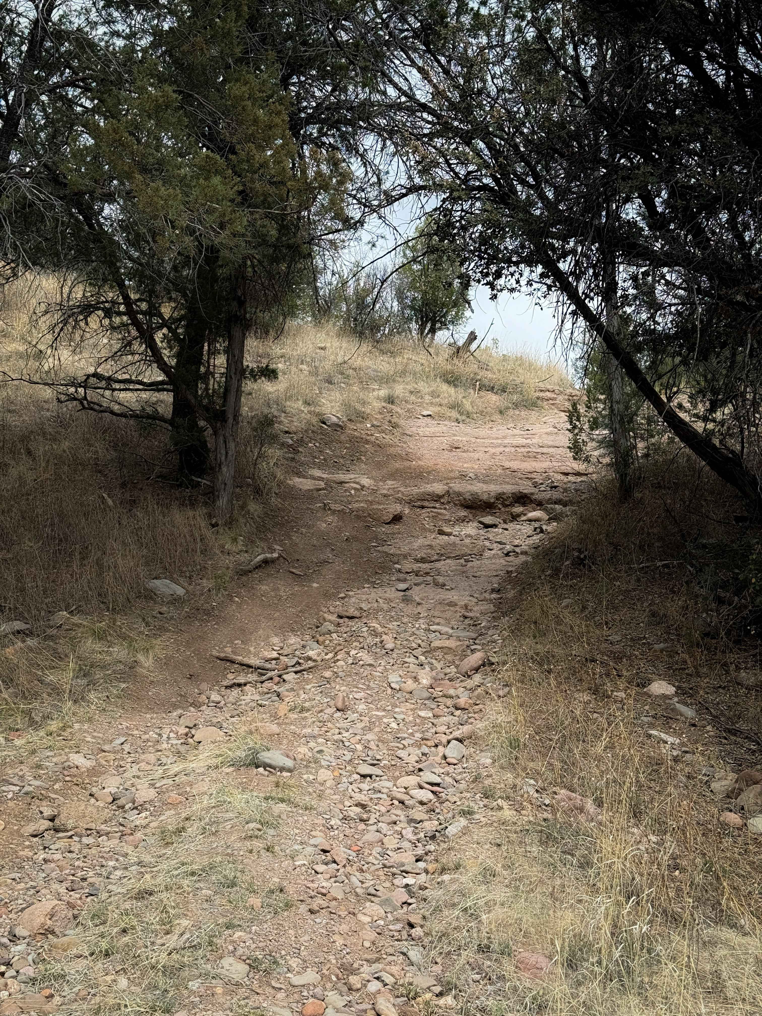
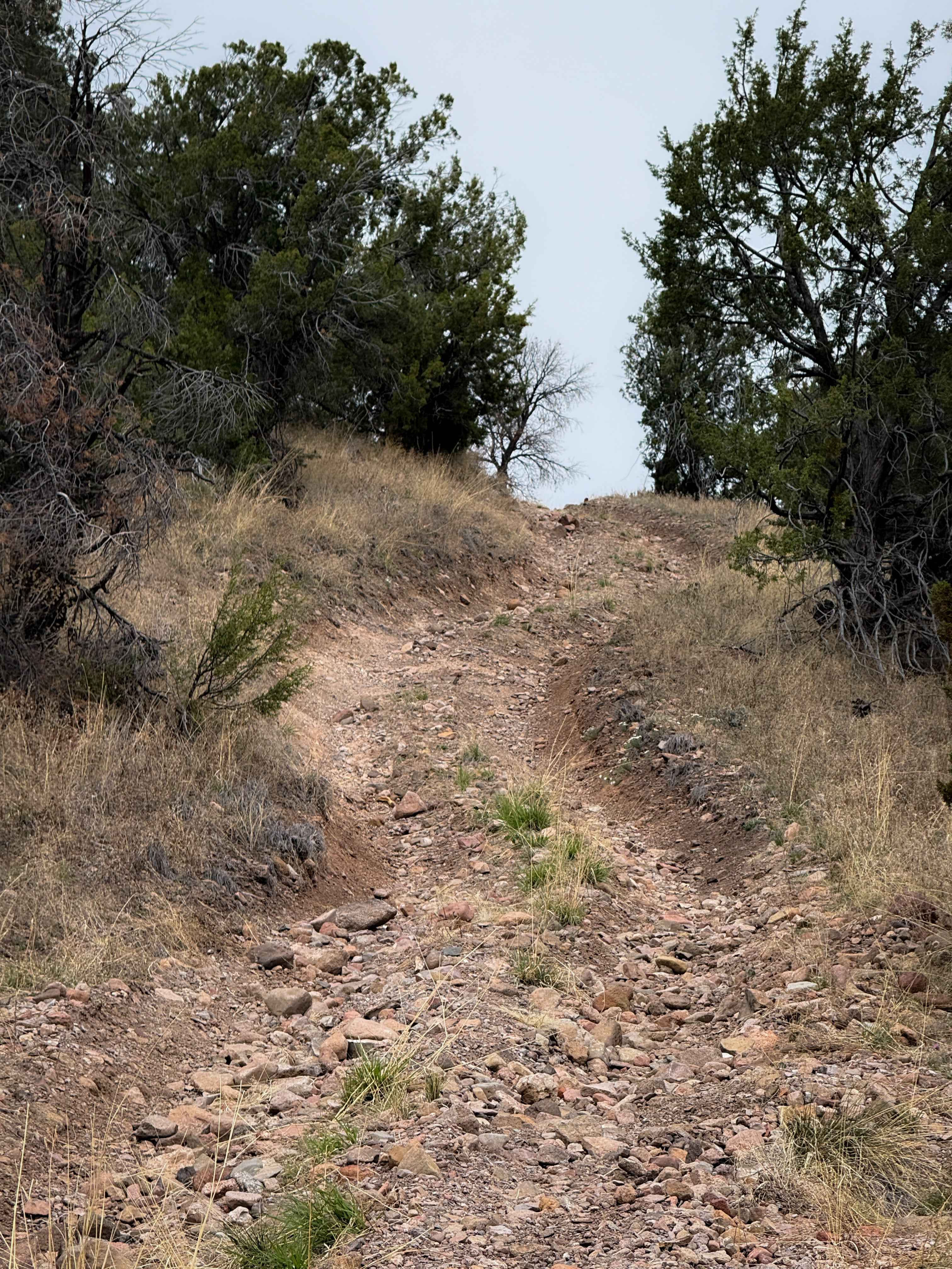
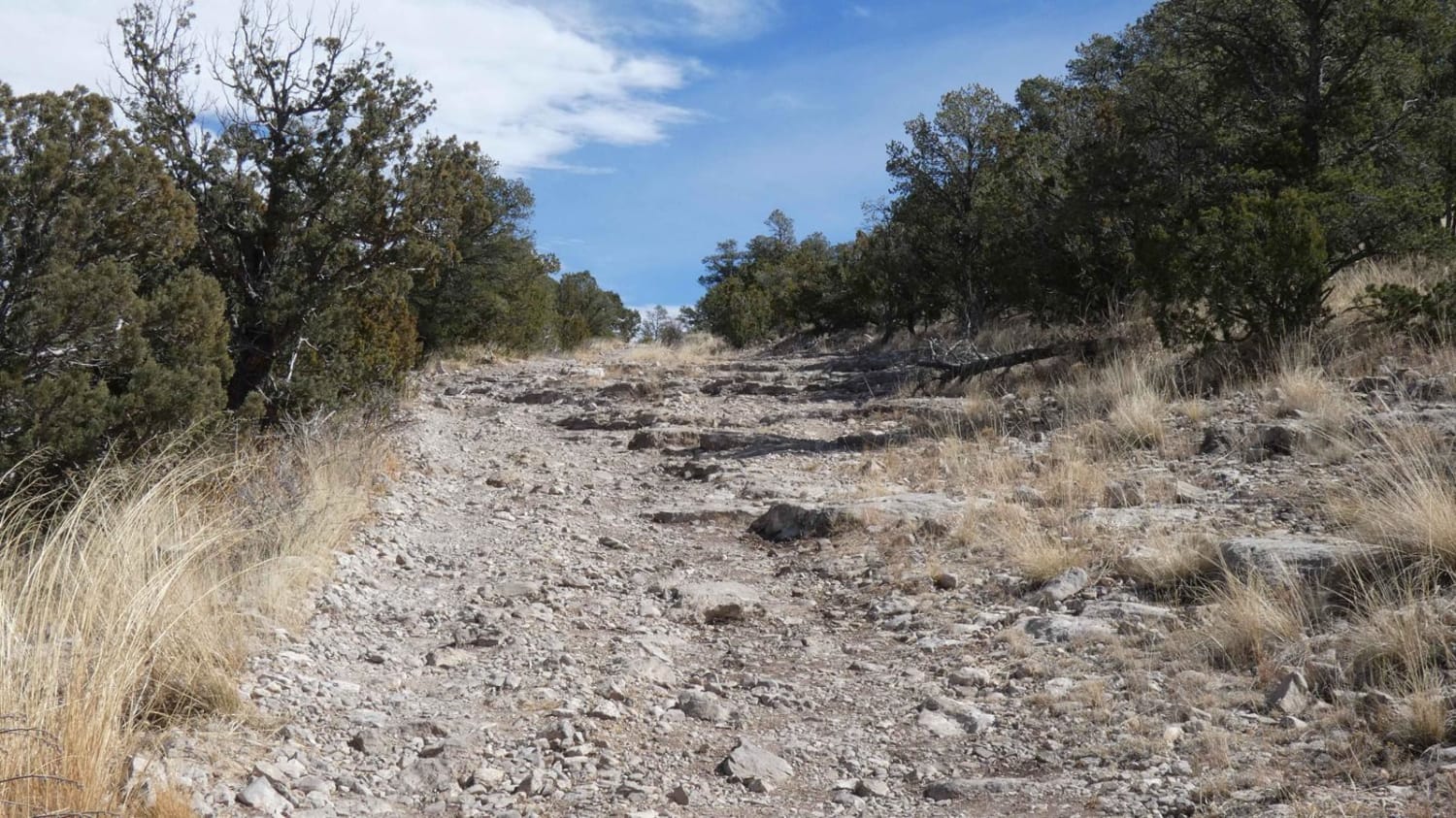
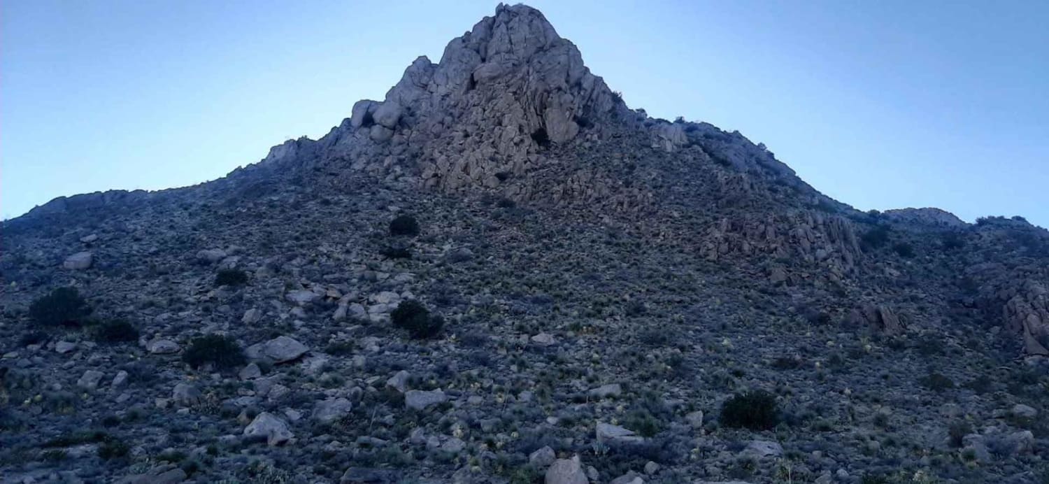
ATV Trail #968 is 5.2 miles long through the Gila National Forest. The southern half from the Mimbres River Trail to the intersection with Trail #972 is more moderate difficulty, with steep and loose climbs and heavier rock sections, gaining almost 1,000 feet of elevation in the first 2.5 miles. This section has shallow ruts filled in with loose softball-sized rocks, and small rock ledges about a foot tall. It climbs up to a scenic ridge line overlooking the mountain valleys. The northern half of the trail between #972 and North Star Road is easier, with fewer rocky sections, and is mostly just flat and curvy on a mesa. The trail accesses lots of spur ATV trails that go out to scenic camp sites and viewpoints that are fun to explore.
Photos of 968
Difficulty
This is a more intermediate route due to several steep hill climbs full of loose rocks and small rock ledges in the southern half of the trail. The northern half of the trail is easier, less rocky, and more gradual.
Status Reports
968 can be accessed by the following ride types:
- ATV (50")
- Dirt Bike
968 Map
Popular Trails
Baca Traverse
Nalgas Rock Overlook via Powerline Road
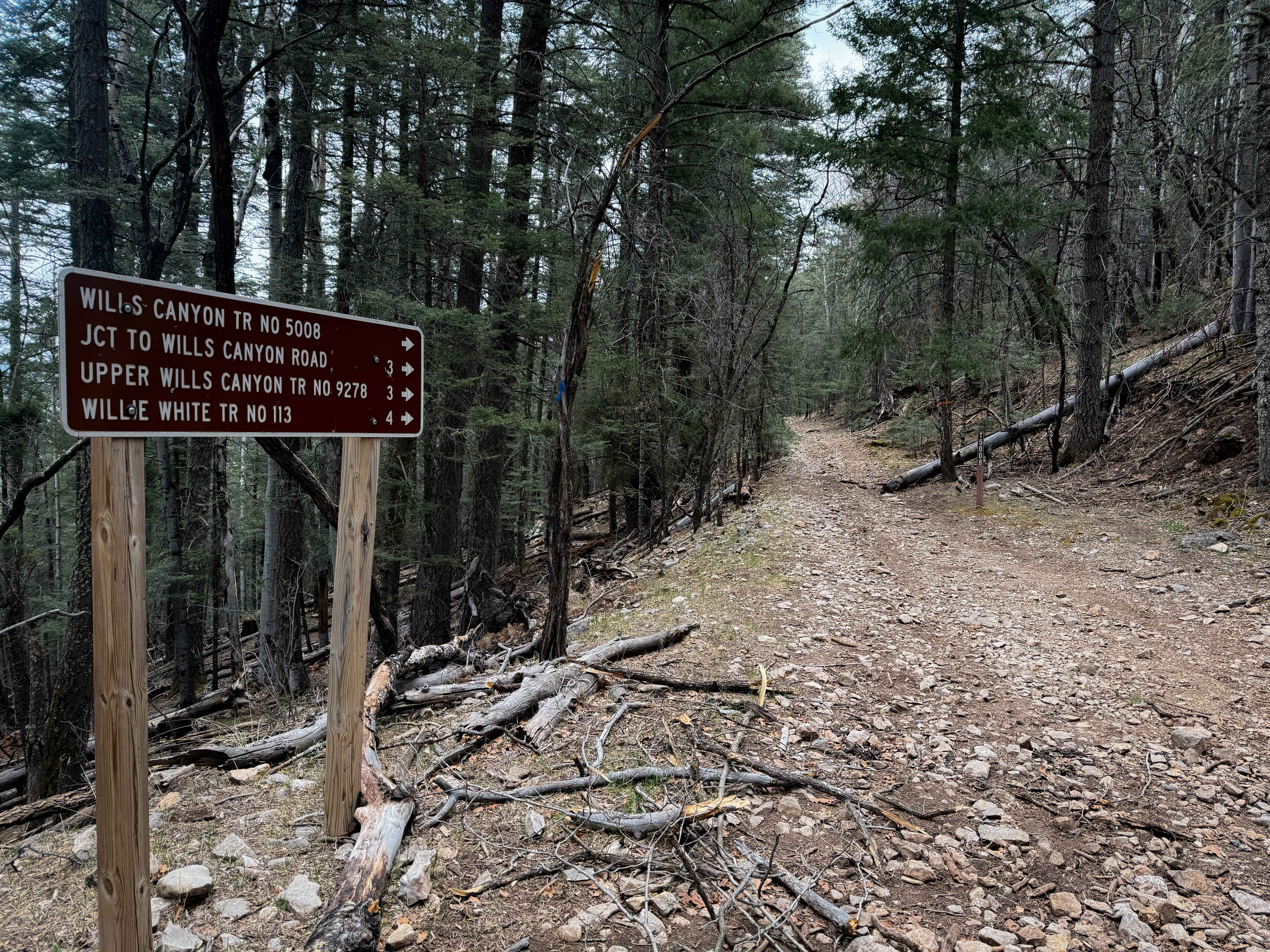
Wills Canyon - FS 5008

Mill Canyon
The onX Offroad Difference
onX Offroad combines trail photos, descriptions, difficulty ratings, width restrictions, seasonality, and more in a user-friendly interface. Available on all devices, with offline access and full compatibility with CarPlay and Android Auto. Discover what you’re missing today!