706
Total Miles
1.8
Technical Rating
Best Time
Summer, Spring, Fall
Trail Type
50" Trail
Accessible By
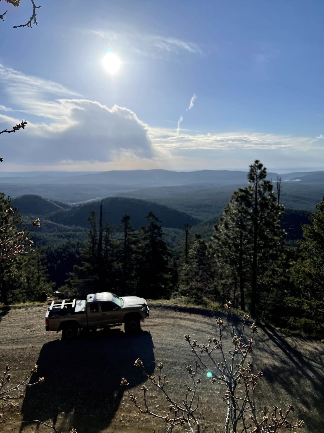
Trail Overview
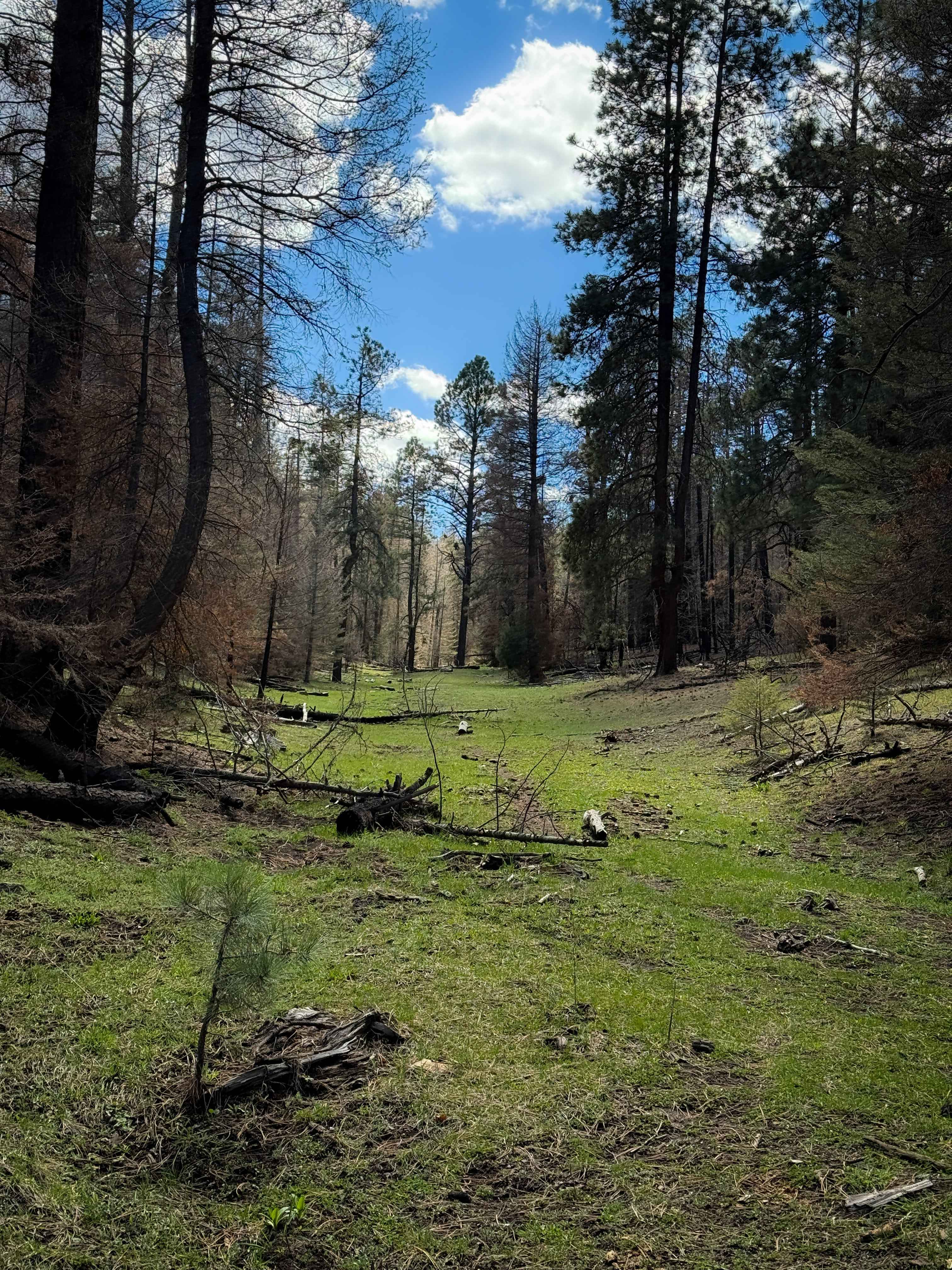
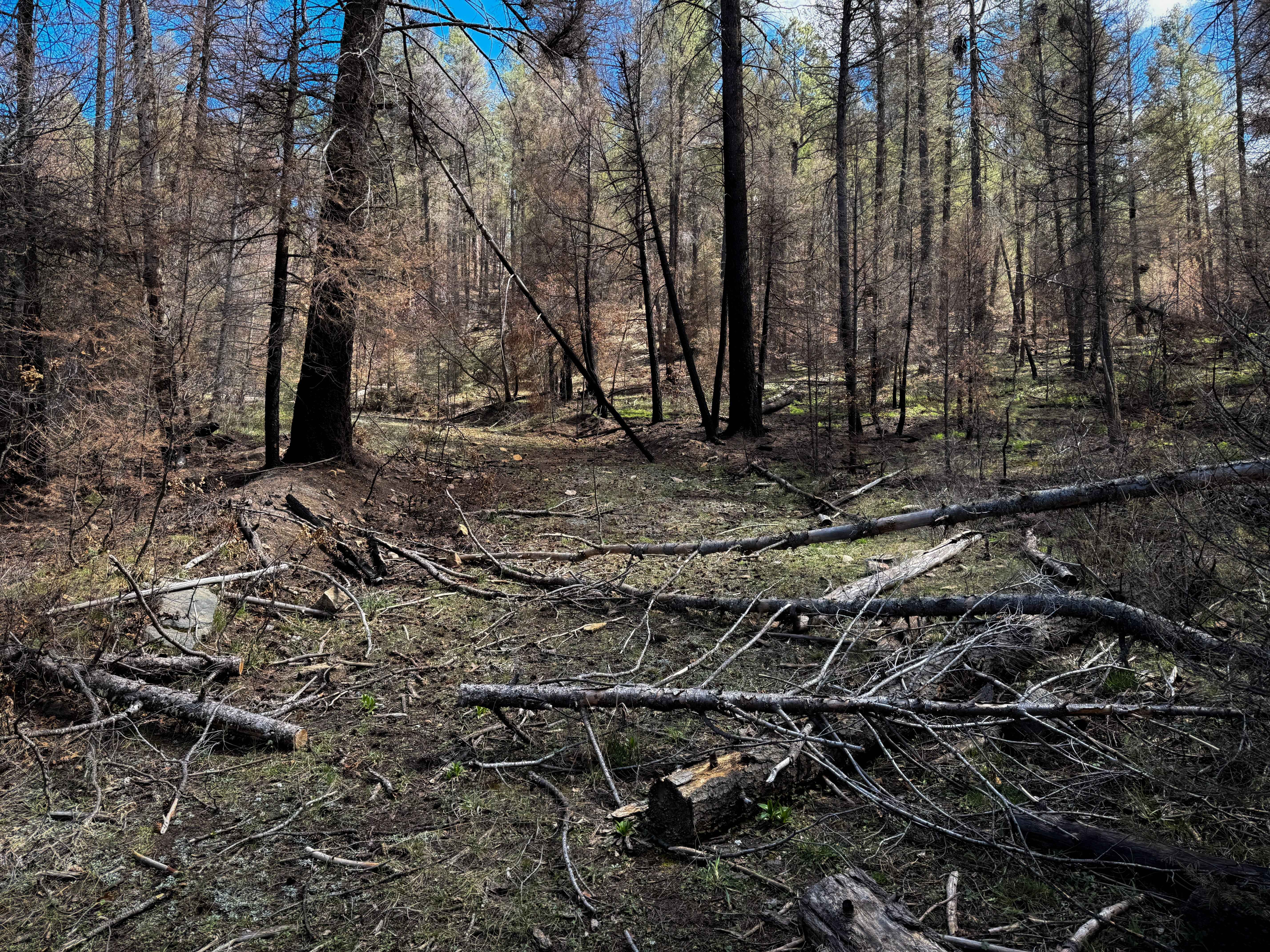
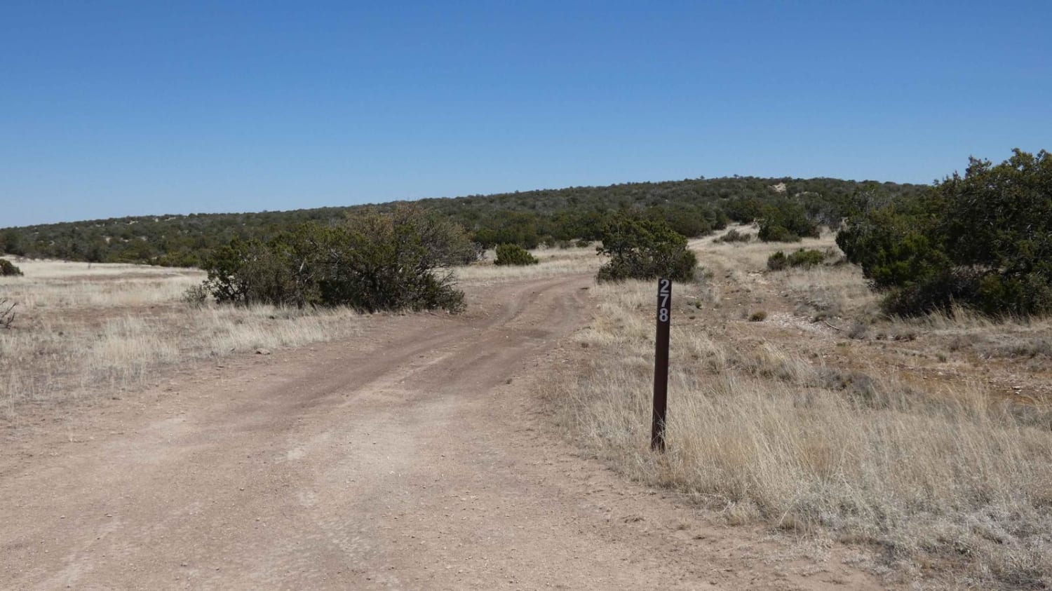
ATV Trail 706 starts on the north end off of FS 169E in a wide grassy corridor at the base of a couple of hills between the pines in a burn area, with lots of log debris. It quickly climbs out of the meadow up a primitive track that would be easy to miss, making a sharp turn east. This initial climb has loose dirt and loose rocks on a steep slope with several logs. The track is very faint, with not much to follow, making an offline map essential here. There was actually one trail sign halfway through the route, though, even though it feels like bushwhacking at times. The trail weaves through the burned ponderosa pines and gambel oak, then starts following a wider shelf that traverses up the hillside, again with a couple of downed logs. There are tight trees in the middle of the path that make it ideal only for 50-inch vehicles to be able to get through the trees. You get a nice view from the side of the trail as it keeps ascending the hillside. It's easy to get off track here if not paying attention to the map, but it becomes more established as you keep going south before it intersects with FS 169E again.
Photos of 706
Difficulty
Overall, this is an easy route; however, it has some faint sections that require good navigation skills. There aren't any major rock obstacles, but there are several small downed logs that may need to be cleared for ATVs to pass. The trail is mostly gradual with only a couple of short steep climbs.
Status Reports
706 can be accessed by the following ride types:
- ATV (50")
- Dirt Bike
706 Map
Popular Trails
County Road A19A to Hermits Peak
Melquadis Point

West Red Canyon
The onX Offroad Difference
onX Offroad combines trail photos, descriptions, difficulty ratings, width restrictions, seasonality, and more in a user-friendly interface. Available on all devices, with offline access and full compatibility with CarPlay and Android Auto. Discover what you’re missing today!