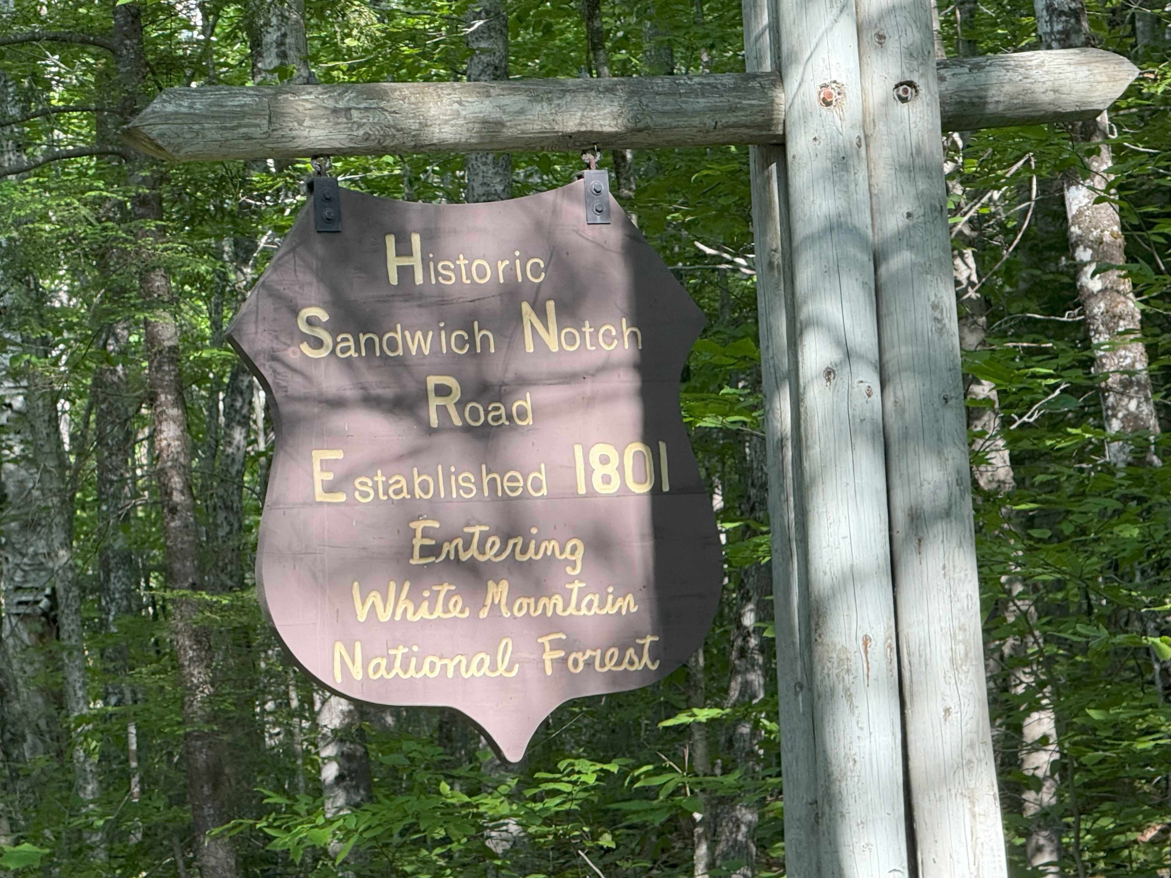
Sandwich Notch Road
Total Miles
7.9
Technical Rating
Best Time
Spring, Summer, Fall
Trail Type
Full-Width Road
Accessible By
Trail Overview
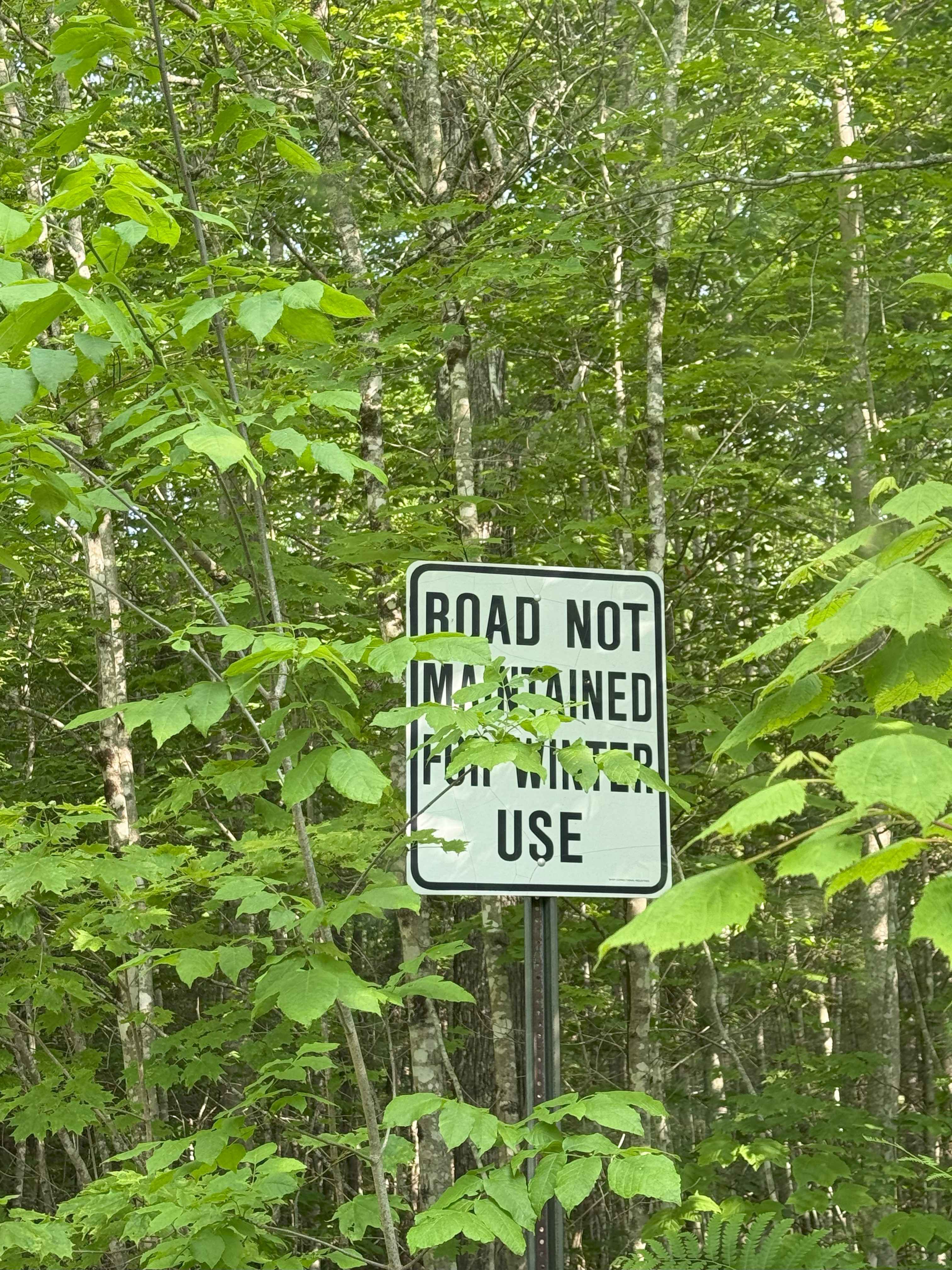
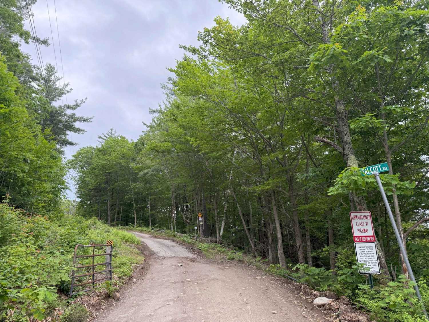
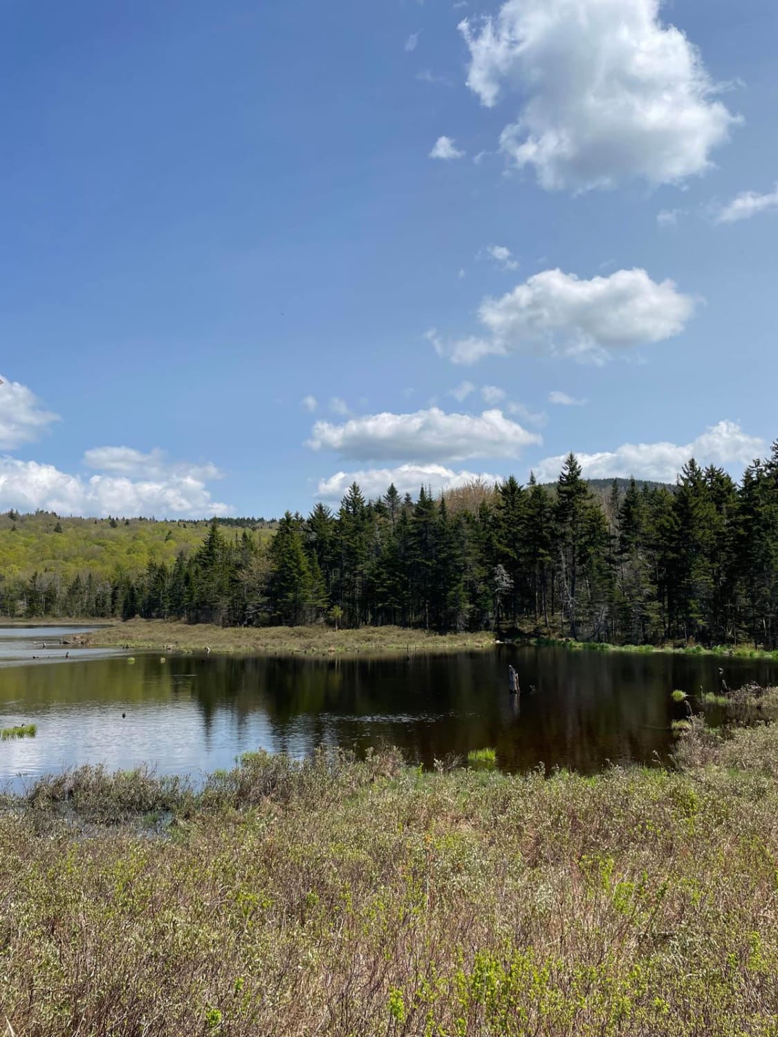
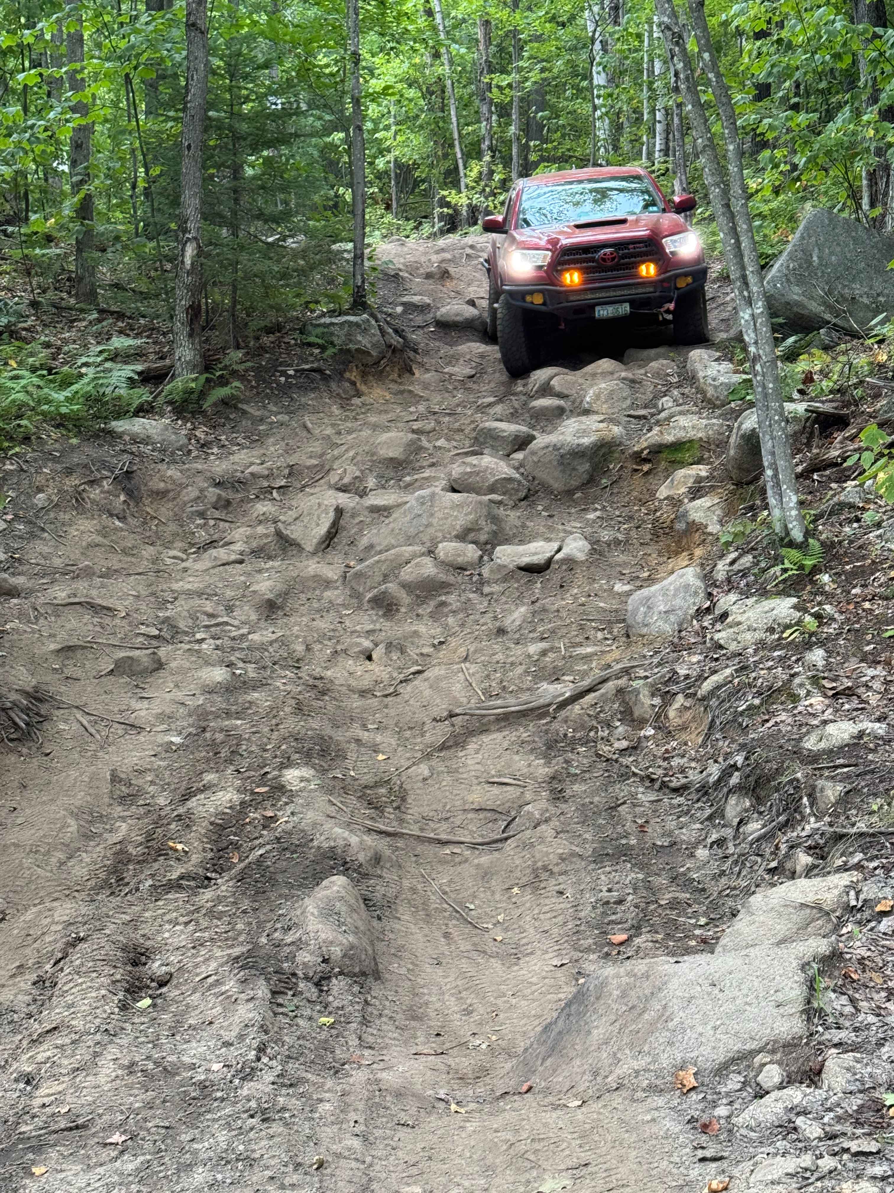
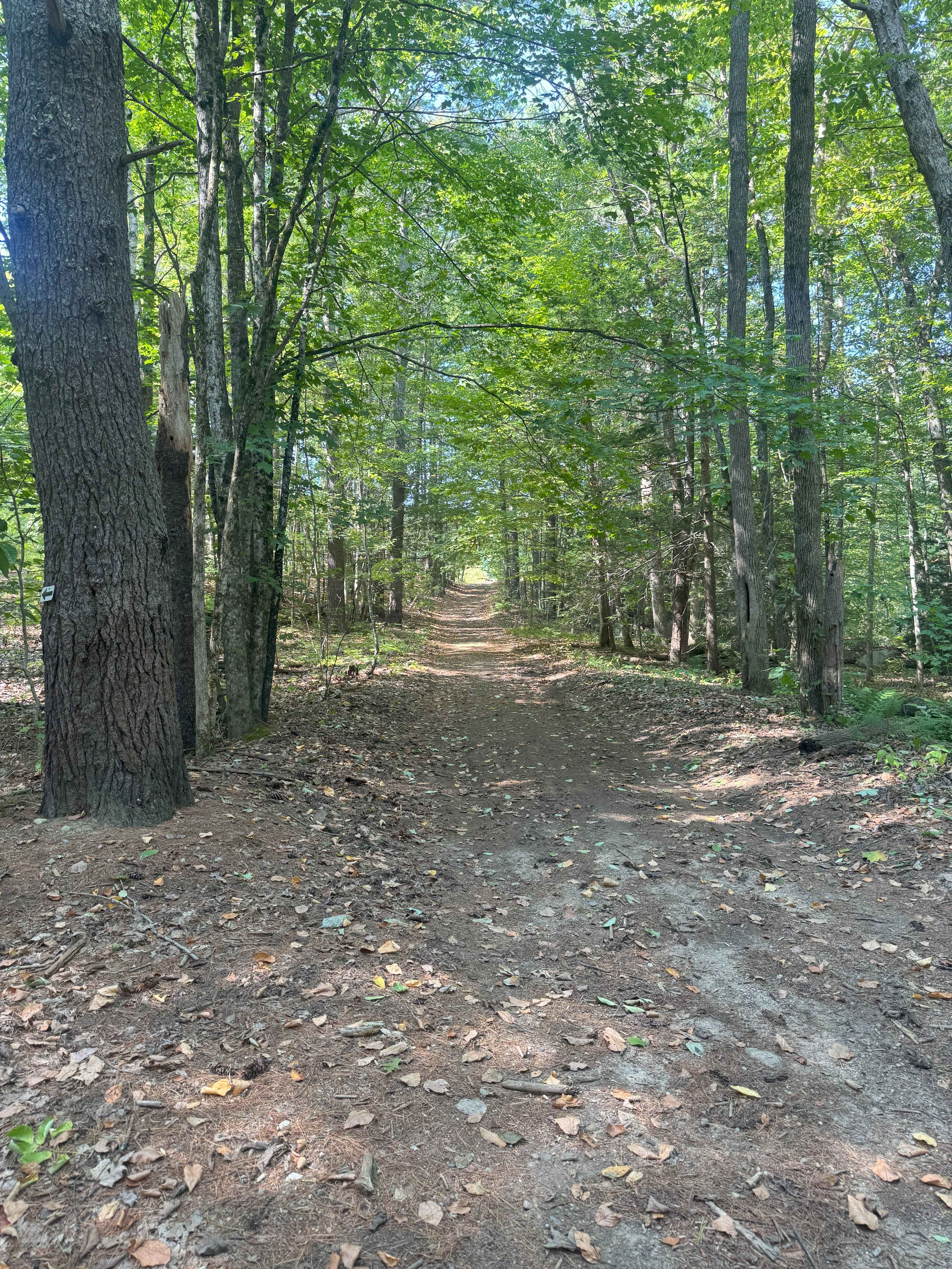
Sandwich Notch Road is a well-maintained dirt forest road that runs between Thornton and Sandwich, New Hampshire, in the White Mountain National Forest. This iconic NH scenic byway was first established in 1801. This easy route has a lot of bang for your buck, as the scenery and views are breathtaking, and there are lots of places to stop and explore along the way. This trail can be run in either direction. The trail condition changes often with weather and use, but most AWD vehicles can easily travel on this trail. Low clearance vehicles have no problem with it, except that it does have some steep hills where AWD or 4WD traction helps. Running from north to south, the trail begins on a steep ascent on pavement, then immediately transitions to dirt. About 1.2 miles into the trail, there is a trail on the right that will take you down to Upper Hall Pond, a beautiful spot for boating and fishing. About 2.3 miles in, you will encounter the Algonquin Brook hiking trail on the left and a short hiking trail on the right that leads down to Lower Hall Pond. At 3.8 miles, you will encounter an intersection where you can turn left for a short ride up to Kiah Pon,d and to the right is a parking lot for hikers and another trail called Beebe River Road. The Kiah Pond access trail is a bit more difficult (for low clearance vehicles) than the main road and involves a stream crossing that can be up to 12+ inches deep in the spring or after multiple days of rain. However, the side-trip is worth it because Kiah Pond is an idyllic alpine mountain pond surrounded by peaks. Traveling down Beebe River Road will lead you to an offshoot trail where you can drive up to Lower and Middle Hall Ponds. Going farther along Sandwich Notch Road, you will cross a one-lane bridge, and immediately on your left is the Guinea Pond hiking trail. At 4.0 miles, you will encounter a historic cemetery called Gillman Hall Cemetery. As the road begins to descend toward Sandwich, at about the 6-mile mark, you will find access to the Beede Falls recreation area. This is a great place to stop and hike in to see the falls, which cascade down through huge granite boulders. At approximately 6.8 miles, the road ends at Diamond Ledge Road in Sandwich. There is no cell service on this road most of the way, but it is fairly busy, so you won't be alone for long if you break down. This trail is a must-see for anyone visiting NH.
Photos of Sandwich Notch Road
Difficulty
Well maintained forest road.
History
Sandwich Notch Road, originally laid out in 1803, served as a vital transportation route connecting the Pemigewassit River Valley to the seacoast in the early 1800s. It facilitated the movement of goods and people, particularly farmers and tradesmen, who used the snow-packed road in the winter for trade and travel. The road supported a thriving community of 300 families with farms, sawmills, and businesses, but the rise of the railroad and westward migration led to the area's decline, leaving it largely abandoned by the mid-19th century. Today, it's a scenic byway through the White Mountain National Forest, with remnants of its past visible in cellar holes and the occasional lilac or apple tree.
Sandwich Notch Road can be accessed by the following ride types:
- High-Clearance 4x4
- SUV
- Dirt Bike
Sandwich Notch Road Map
Popular Trails
Talcott Road to Old Stage Road
New Colony - Orange Road
Jericho Mountain 4x4 Truck & Jeep Trail - Easiest Loop
The onX Offroad Difference
onX Offroad combines trail photos, descriptions, difficulty ratings, width restrictions, seasonality, and more in a user-friendly interface. Available on all devices, with offline access and full compatibility with CarPlay and Android Auto. Discover what you’re missing today!