Stonebridge Connector - BLM138
Total Miles
2.7
Technical Rating
Best Time
Spring, Summer, Fall
Trail Type
Full-Width Road
Accessible By
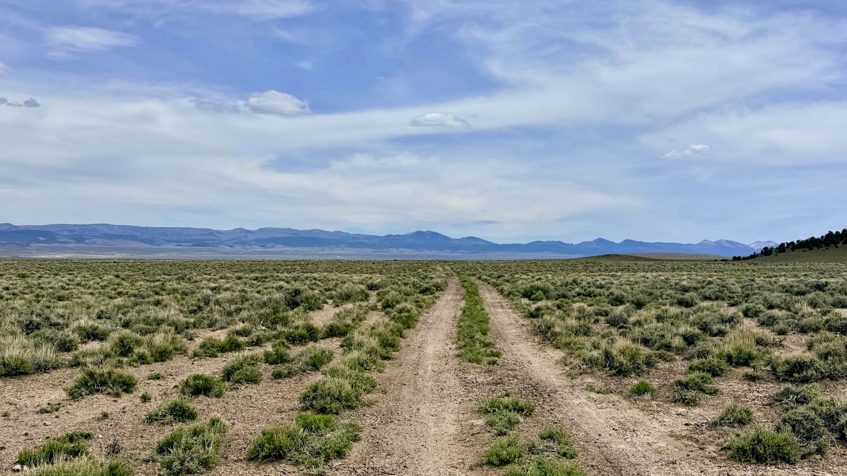
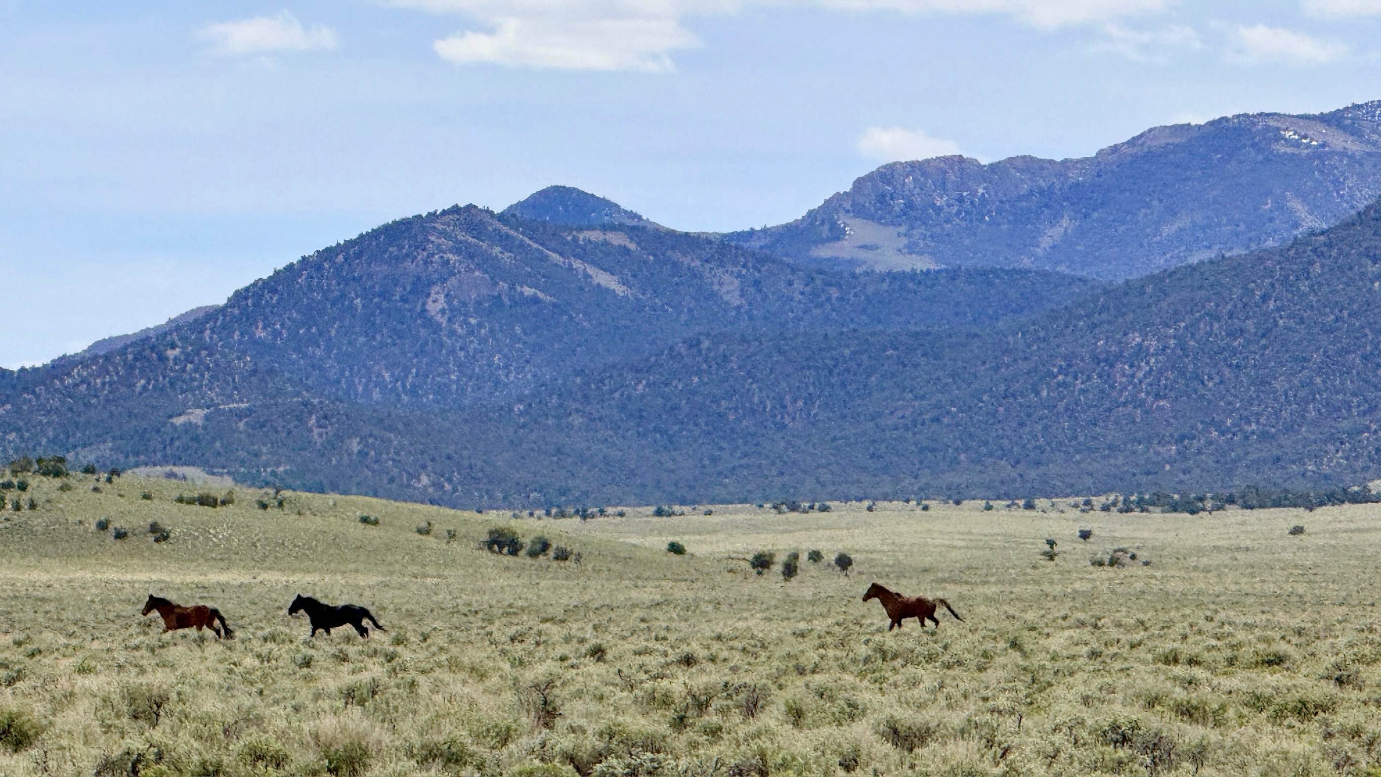
Trail Overview
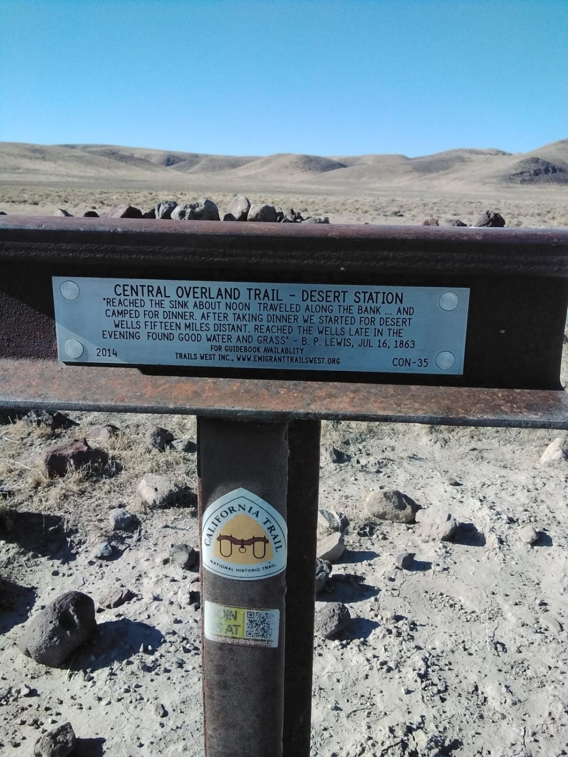
The Stonebridge Connector is a pleasant and straightforward section of high-desert two-track that provides an essential diagonal link across the Monitor Valley floor. This route is the preferred way to transition from the primary Monitor Valley Road toward the more rugged interior of the Stonebridge Basin. The drive is characterized by its wide-open perspective; because the landscape is dominated by knee-high sagebrush rather than tall timber, travelers are treated to unobstructed, 360-degree views of the Toquima and Monitor ranges shimmering in the distance. The driving is smooth and rhythmic, allowing for a steady pace across the basin. This area is a premier spot to view one of Nevada's most iconic symbols: the wild mustang. Large bands of wild horses are frequently seen running across the Monitor Basin in this area, their tracks often paralleling the trail. While the route is generally "no-drama," keep a focused eye on the track ahead for a few minor washouts and shallow ruts. These obstacles are easily managed with basic tire placement, making this an ideal "connector" for those looking to build a full day of backcountry exploration without the stress of constant technical rock crawling. Expect zero cell service for the duration of this trail. The vastness of the Monitor Valley creates a total signal dead zone. Download offline maps before leaving the Tonopah or Belmont area.
Photos of Stonebridge Connector - BLM138
Difficulty
Rated a 2 for its easy grade and smooth surface. The washouts encountered are not deep, but they do require you to slow down. Suitable for all high-clearance vehicles and SUVs. Under dry conditions, this route is accessible for most standard crossover vehicles, provided the driver is vigilant for the occasional shallow washout.
Status Reports
Stonebridge Connector - BLM138 can be accessed by the following ride types:
- High-Clearance 4x4
- SUV
- SxS (60")
- ATV (50")
- Dirt Bike
Stonebridge Connector - BLM138 Map
Popular Trails
West End Restless Road

Restless Road
Historical and Petroglyph trail
The onX Offroad Difference
onX Offroad combines trail photos, descriptions, difficulty ratings, width restrictions, seasonality, and more in a user-friendly interface. Available on all devices, with offline access and full compatibility with CarPlay and Android Auto. Discover what you’re missing today!