Pete's Summit Road - FS 43001
Total Miles
24.3
Technical Rating
Best Time
Spring, Summer, Fall
Trail Type
Full-Width Road
Accessible By
Trail Overview
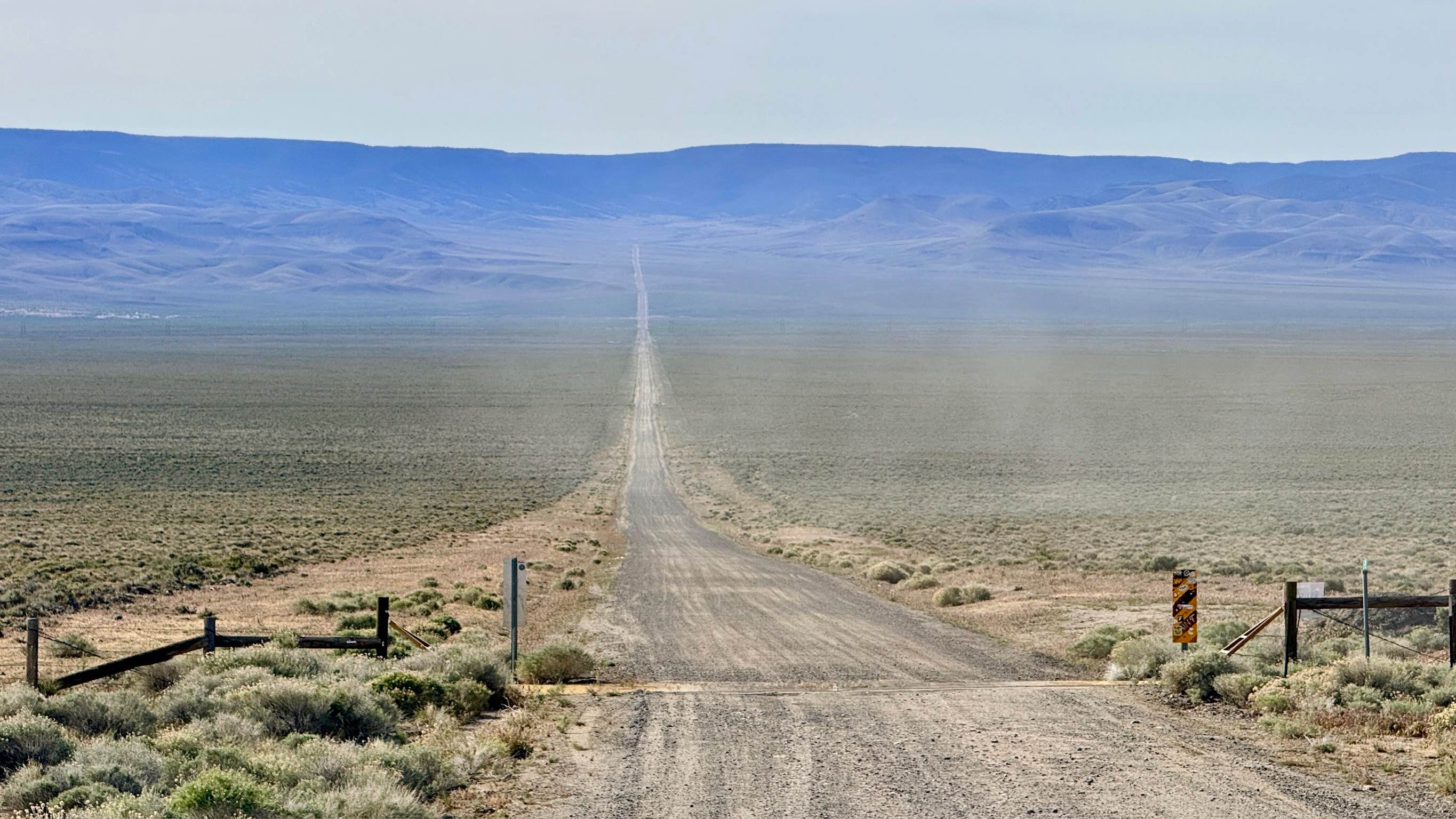
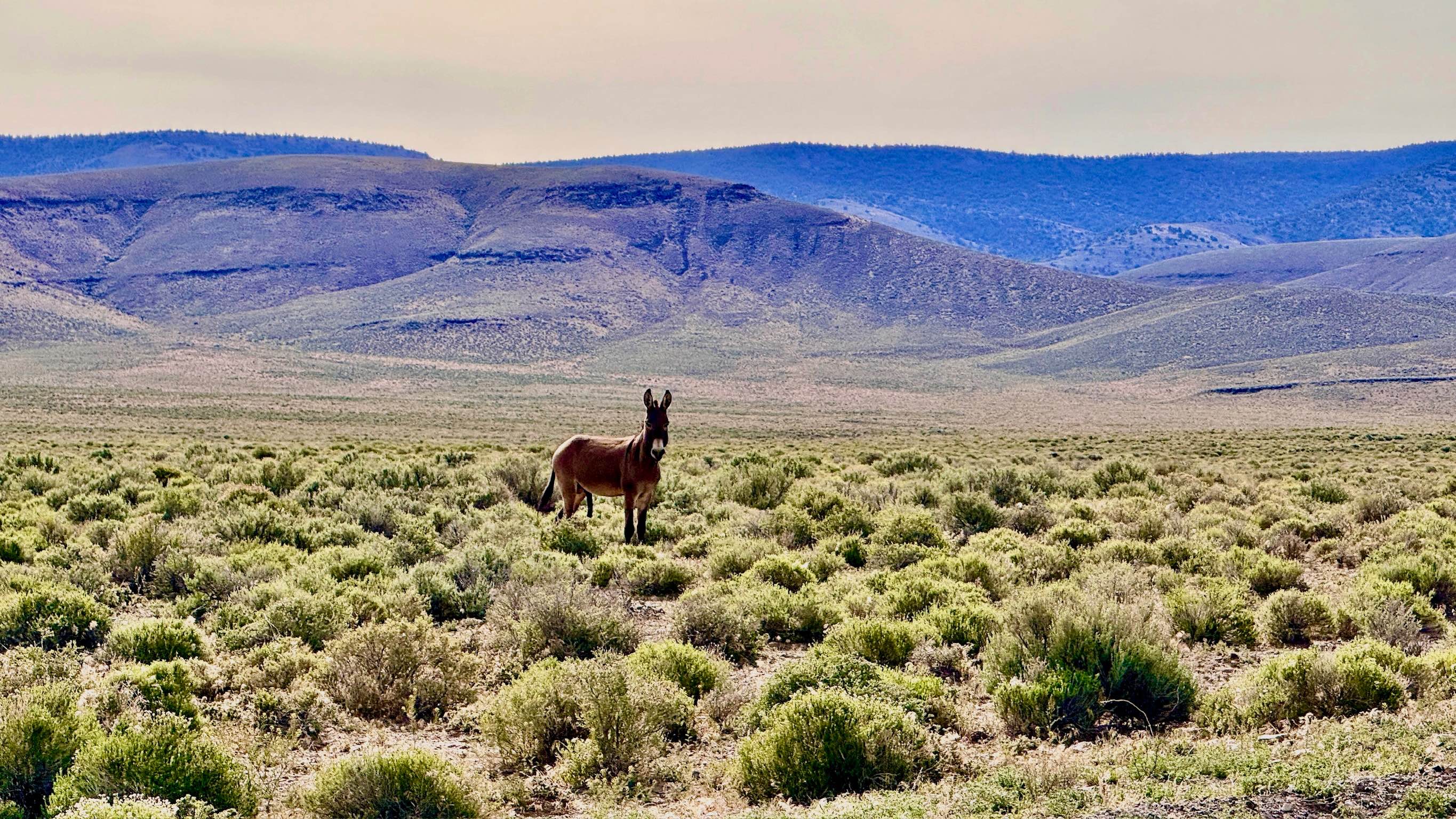
This majestic, well-maintained mountain "highway" serves as the primary gateway across the Toquima Range. This route is an excellent choice for those looking to experience high-altitude Nevada without the stress of technical rock crawling. The road is consistently wide and well-graded gravel, allowing a comfortable cruising speed as you ascend from the valley floors into the cool mountain air. The true crown jewel of this trail is located at the summit: the Toquima Cave Campground. This developed site serves as the parking area for a short, scenic walk to the historic Toquima Caves, which house some of the most significant ancient rock art in the Great Basin. The pictographs in Toquima Cave are sacred and fragile. Do not touch the rock art or cross the protective barriers. Take only pictures and help preserve this ancient heritage. The drive itself is a visual masterpiece; as you crest the range, you are treated to breathtaking views of the sprawling Monitor Valley to the east and the rugged, snow-capped peaks of the Toiyabe Range to the west. With its abundant dispersed camping and role as a major hub for numerous side trails, Pete's Summit is an essential route for any Nevada backcountry expedition. Expect zero cell service for the duration of this mountain crossing. The high ridges create a total signal dead zone. Download offline maps before leaving Tonopah or Austin.
Photos of Pete's Summit Road - FS 43001
Difficulty
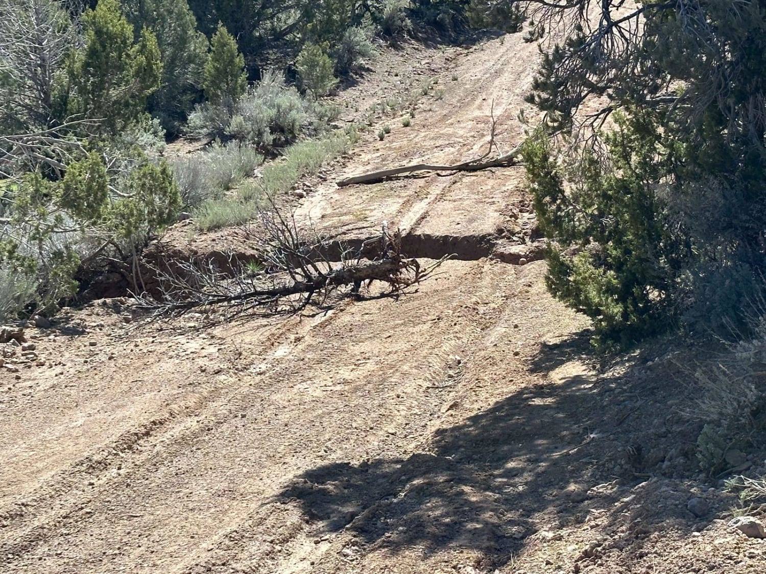
Rated a 1 for its smooth surface, but drivers must remain alert. This is a primary local corridor; watch for fast-moving oncoming traffic, including ranching trucks and local residents, particularly on blind corners.
History
Pete's Summit and Toquima Cave are windows into over 10,000 years of human history. The cave features vibrant pictographs (painted rock art) created by the ancestors of the Western Shoshone using red and yellow ochre. For millennia, this pass was a vital corridor for Indigenous people moving between the valleys to harvest pinyon nuts and hunt. In the late 1800s, the road was improved to support the stagecoaches and freight teams that linked the silver boomtown of Belmont to the ranching hubs of the Big Smoky Valley. Today, you are driving a route that has been a lifeline for humanity for countless generations.
Status Reports
Pete's Summit Road - FS 43001 can be accessed by the following ride types:
- High-Clearance 4x4
- SUV
- SxS (60")
- ATV (50")
- Dirt Bike
Pete's Summit Road - FS 43001 Map
Popular Trails
Mid Basin Cove

Boulder City Conservation Easement
North East Pass Road
The onX Offroad Difference
onX Offroad combines trail photos, descriptions, difficulty ratings, width restrictions, seasonality, and more in a user-friendly interface. Available on all devices, with offline access and full compatibility with CarPlay and Android Auto. Discover what you’re missing today!