Linka Mine FS 43281
Total Miles
4.4
Technical Rating
Best Time
Spring, Summer, Fall
Trail Type
Full-Width Road
Accessible By
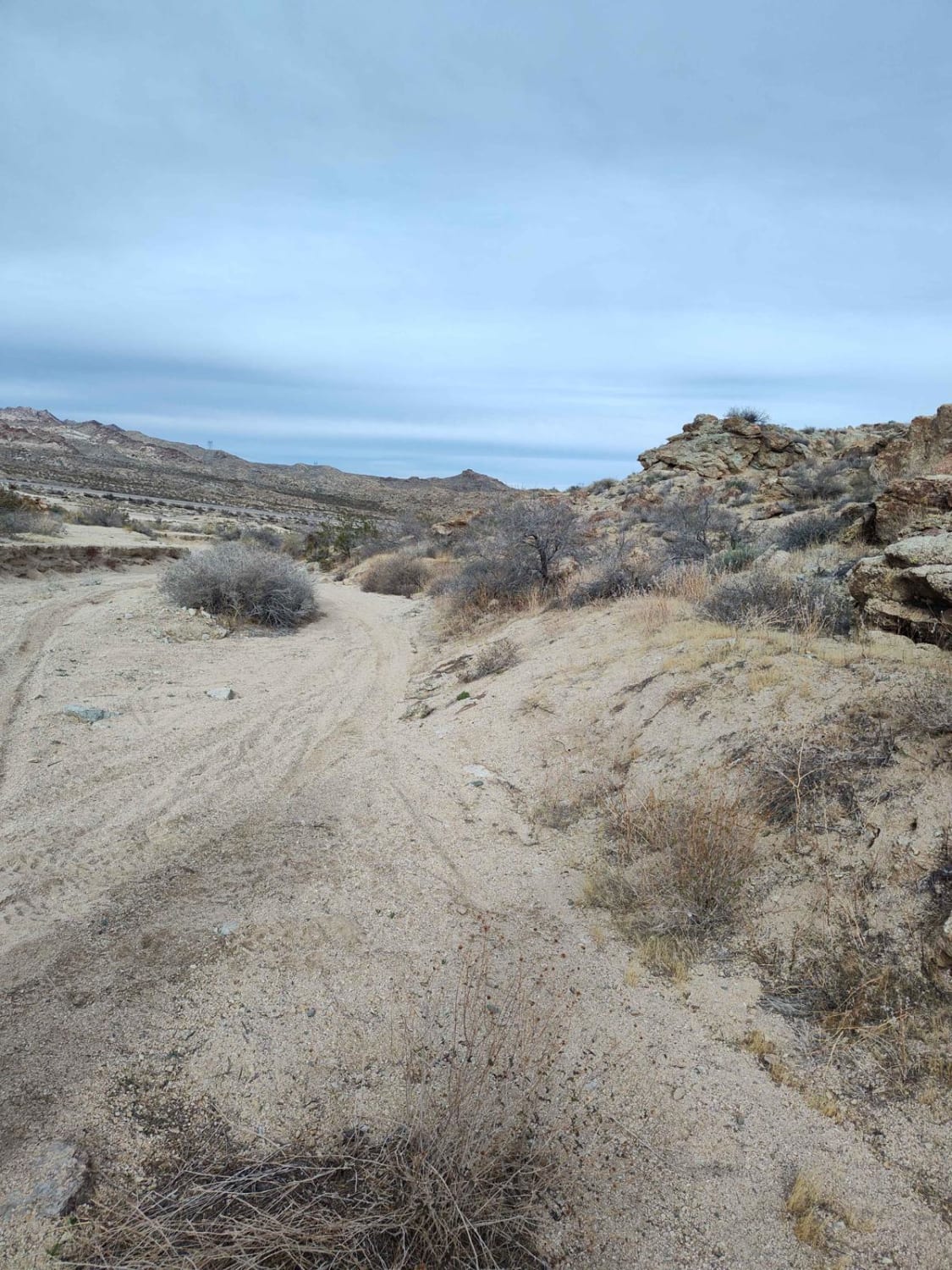
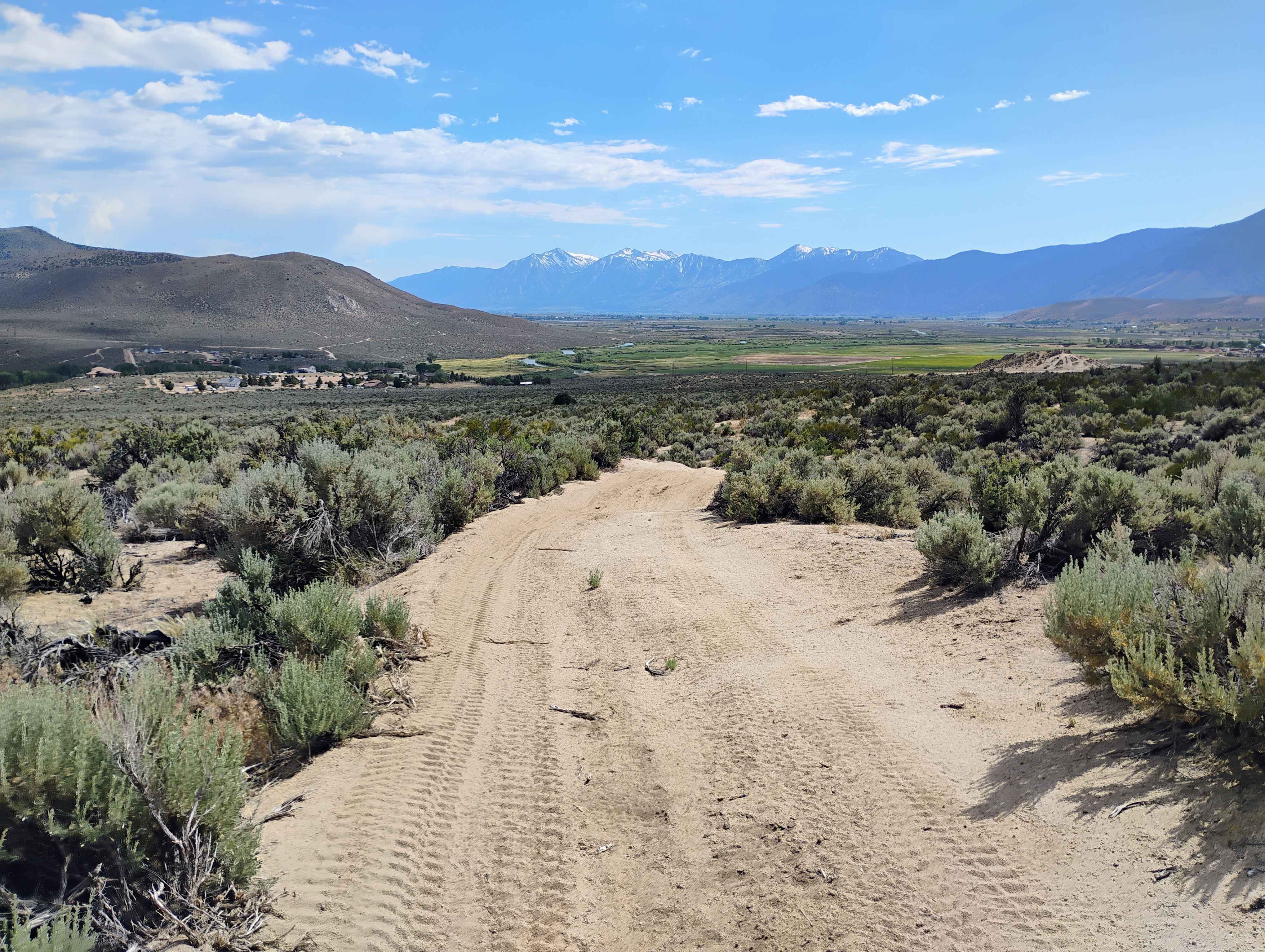
Trail Overview
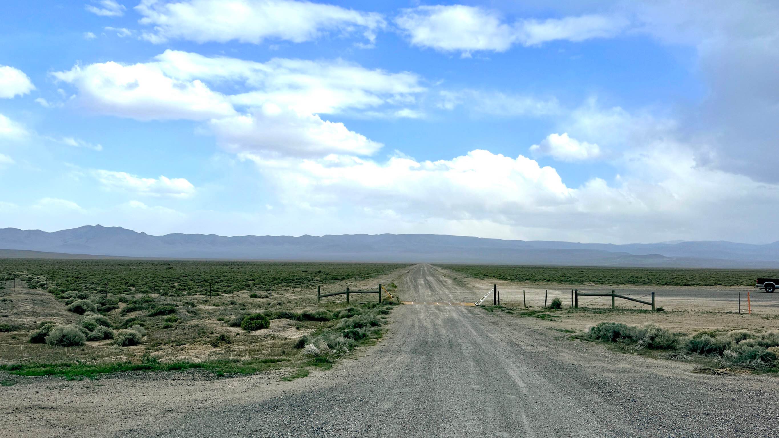
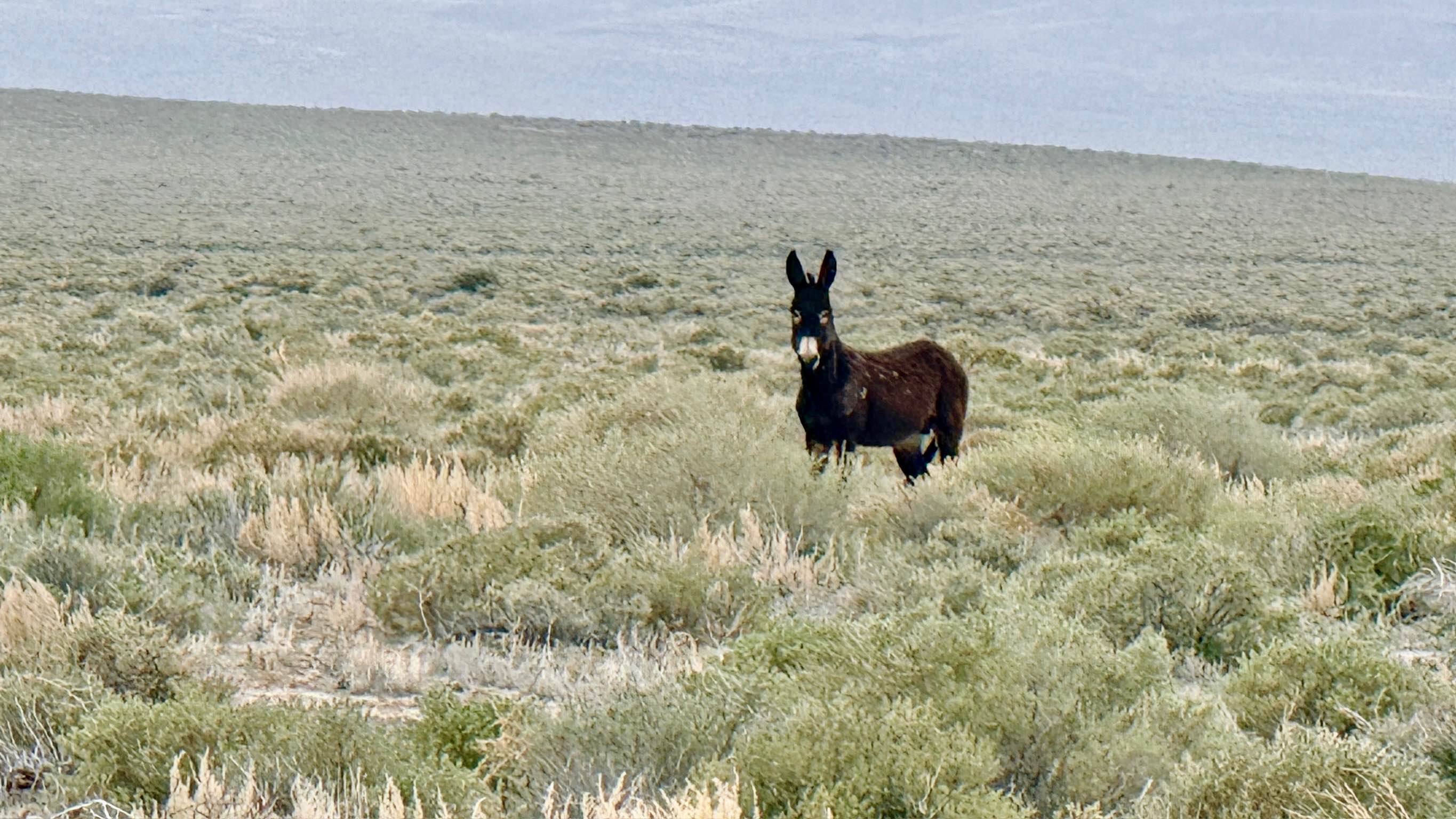
The trail to Linka Mine is an easy, accessible journey that rewards travelers with one of the largest mining ruins in the area. The route begins as a long, fast, wide straightaway that cuts across the high-desert plains. While the road eventually narrows as it approaches the foothills, the well-maintained surface makes it a smooth trip for almost any vehicle. The area surrounding the Linka Mine is a hotspot for classic Nevada wildlife. Keep a sharp eye out for herds of wild donkeys (burros), the hardy descendants of the pack animals used during the silver boom, who still call these hills home. You are also likely to spot Pronghorn. Upon reaching the mine, you'll discover an extensive industrial footprint featuring old equipment, sluice remnants, and numerous concrete foundations. Many of the original mine shafts are still visible, though most have been professionally sealed with heavy steel grates to protect the public. This is a large-scale operation with plenty to see, making it a highly recommended detour. While many shafts are gated, old structures and concrete slabs can be unstable. Do not attempt to enter any mine openings. Expect very limited to no cell service as you leave the highway corridor. Download offline maps before your trip to avoid missing the turn-off.
Photos of Linka Mine FS 43281
Difficulty
The trail is primarily a graded dirt road. Expect significant washboarding on the longer straight sections, which can be jarring if your speed isn't adjusted accordingly.
History
Unlike many of the 1860s silver mines in the district, the Linka Mine represents the mid-20th-century industrial efforts in Nevada. During the 1950s, this site was an active Tungsten mine. Tungsten was a critical strategic metal used during the Cold War for hardening steel in military and industrial applications. The massive concrete slabs and specialized sluice equipment are remnants of a sophisticated milling process that helped Nevada play a crucial role in national defense during the mid-1900s.
Status Reports
Linka Mine FS 43281 can be accessed by the following ride types:
- High-Clearance 4x4
- SUV
- SxS (60")
- ATV (50")
- Dirt Bike
Linka Mine FS 43281 Map
Popular Trails
Winnemucca Lake Caves South Shore
Wilson Reservoir
Bridge Canyon to Laughlin Single Track
The onX Offroad Difference
onX Offroad combines trail photos, descriptions, difficulty ratings, width restrictions, seasonality, and more in a user-friendly interface. Available on all devices, with offline access and full compatibility with CarPlay and Android Auto. Discover what you’re missing today!