Blackbird Creek Loop - FS 43253
Total Miles
5.1
Technical Rating
Best Time
Spring, Summer, Fall
Trail Type
Full-Width Road
Accessible By
Trail Overview
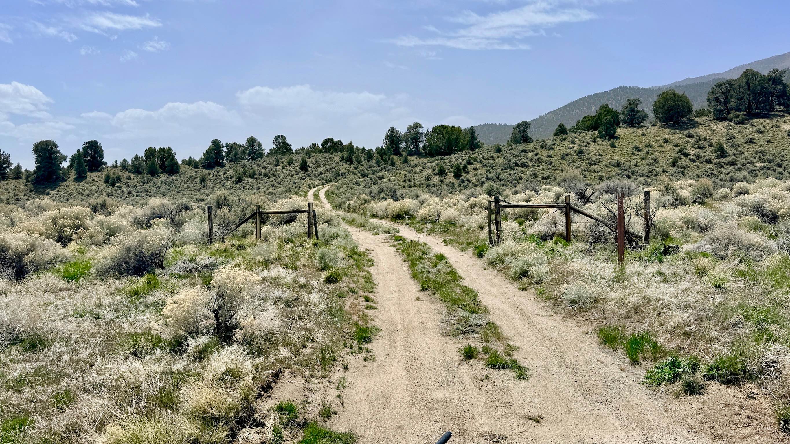
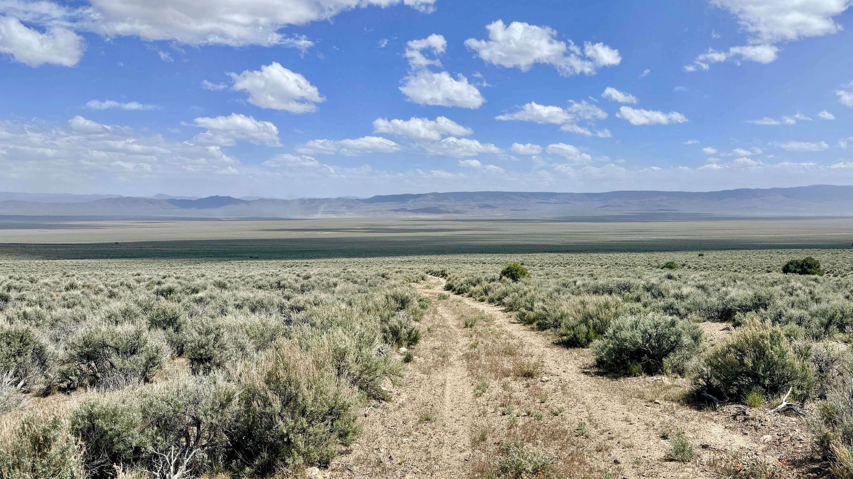
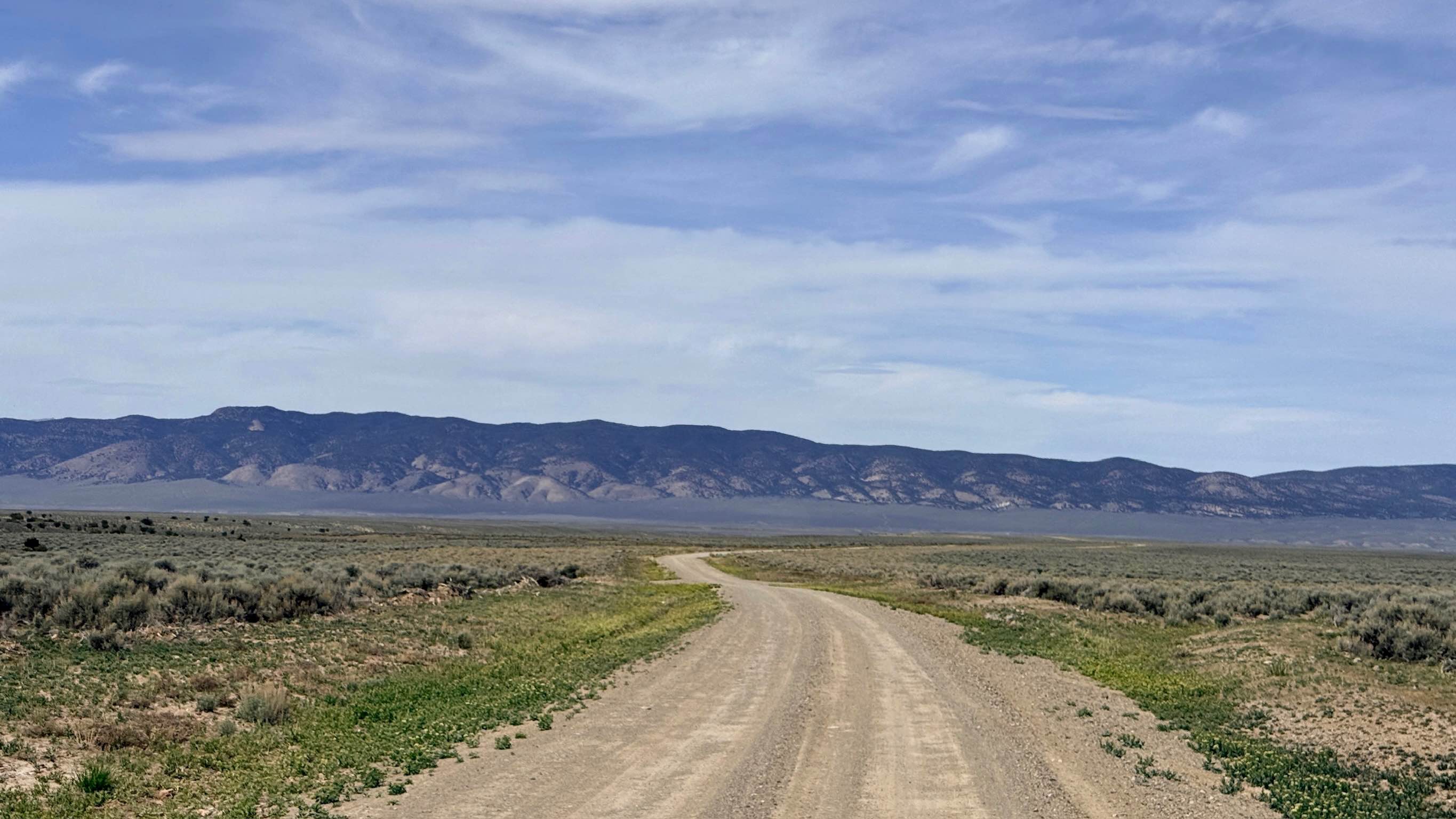
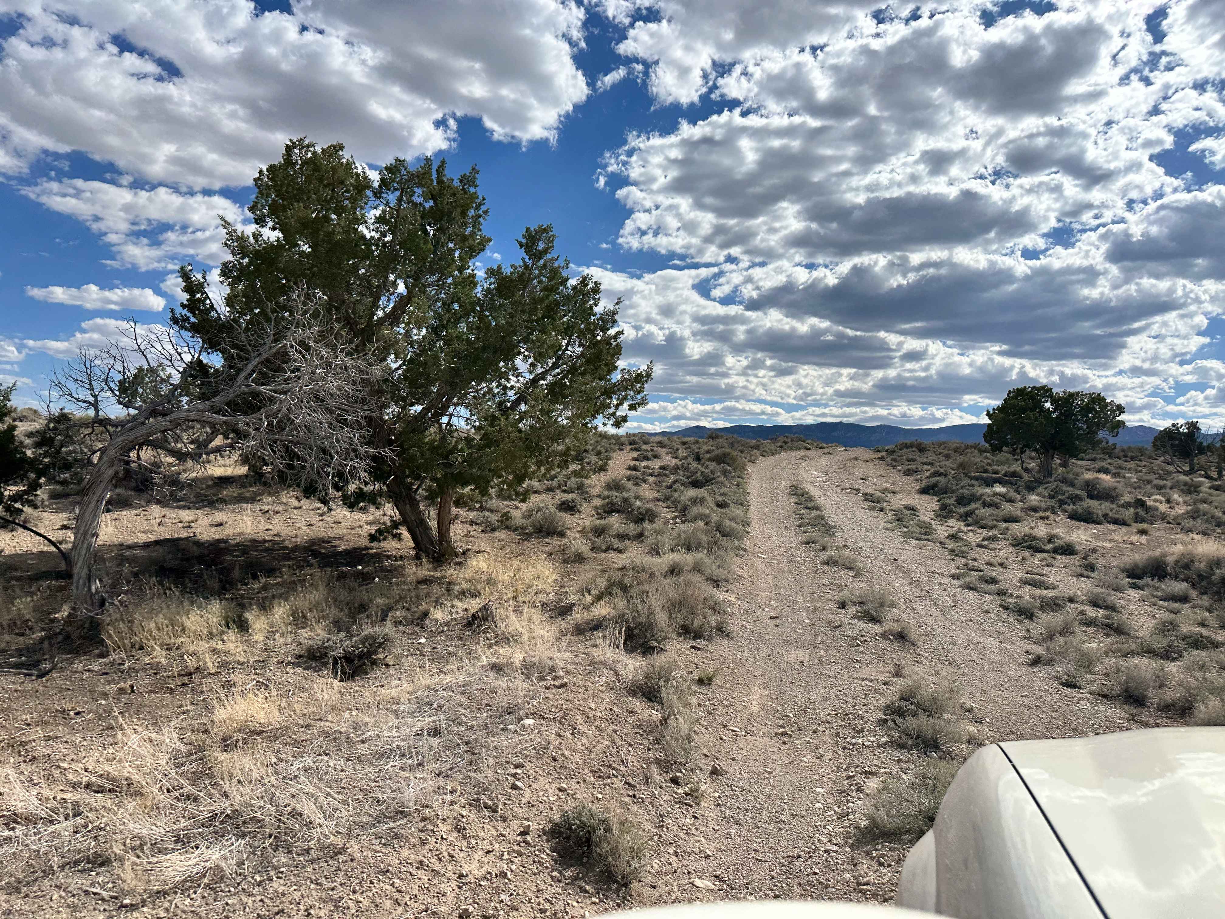
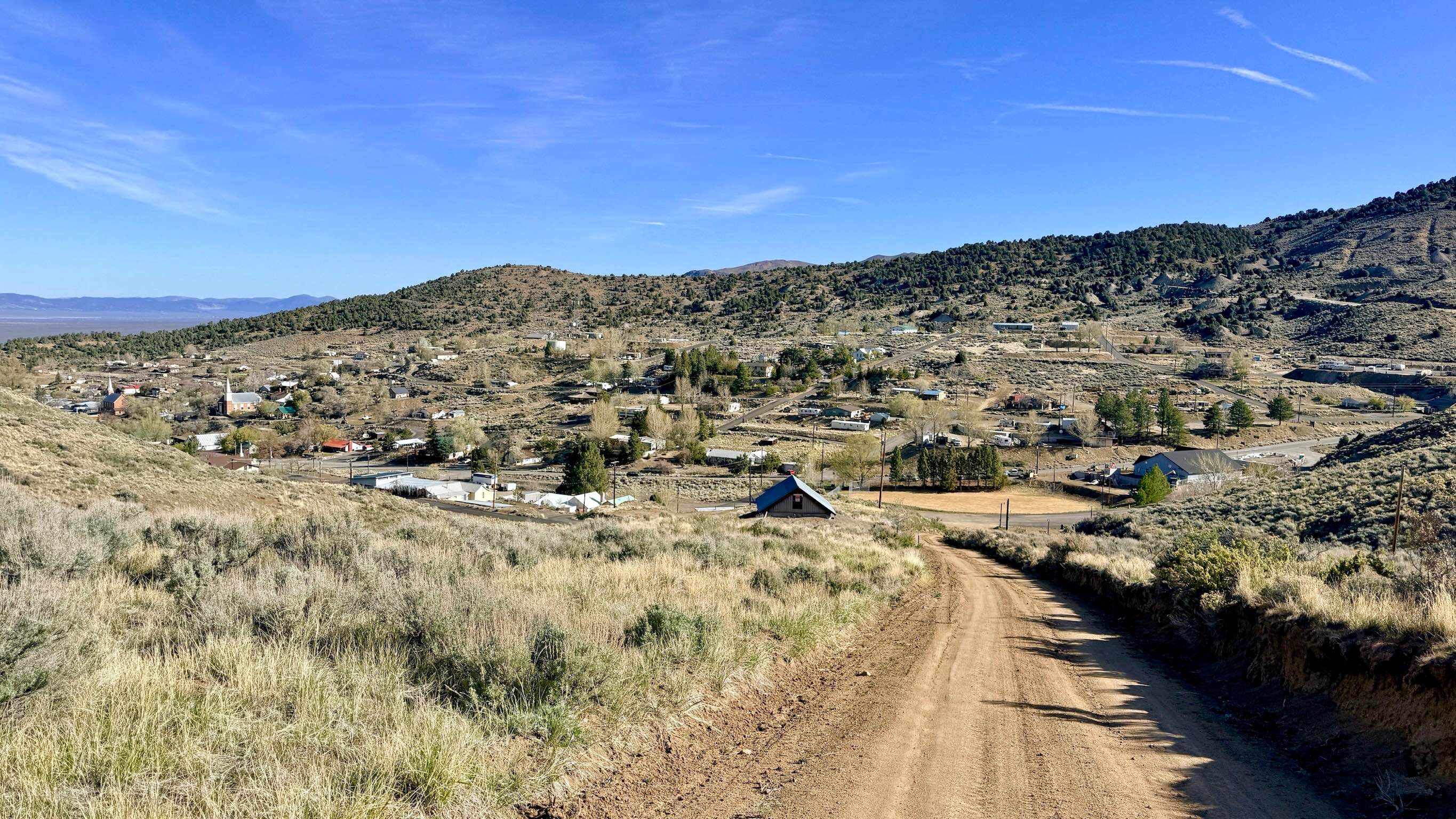
Blackbird Creek Loop offers an "interesting and unpredictable" tour through the rugged foothills of the Toiyabe Range. This trail is a study in contrasting conditions: the northern end is well-established and easy to navigate, but the middle section transitions into a primitive, untraveled track that feels truly wild. As you loop toward the southern end, the trail becomes more technical but sees slightly more traffic from local explorers. The reward for navigating this challenging route is a series of incredible vantage points. As you work your way along the foothills, you are treated to majestic views of the soaring peaks to the south and west, while the eastern horizon reveals the expansive valley and the distant "fire mountains" shimmering in the heat. The trail weaves through a mix of high-desert scrub and mountain terrain. Boulders frequently roll down from the steep hillsides, and fallen trees are common, especially in the springtime. Carrying a handsaw or chainsaw is highly recommended to clear the path. Expect very limited to non-existent cellular service. The deep folds of the foothills block signals from the valley. Download offline maps before leaving the Austin or Bob Scott Campground area.
Photos of Blackbird Creek Loop - FS 43253
Difficulty
Rated a 4 due to the rugged and less-traveled middle section. Be prepared for deep washouts, sustained off-camber tilts, and loose, rocky hill climbs and descents. Fallen trees are common, especially in the springtime.
History
The Blackbird Creek area is a tapestry of Nevada's resource-driven history. The foothills were the first areas scouted by prospectors fanning out from the initial Austin strikes in 1862. The faintness of the middle section of the trail today serves as a reminder of how quickly the Great Basin can reclaim human infrastructure once the silver veins run dry.
Status Reports
Blackbird Creek Loop - FS 43253 can be accessed by the following ride types:
- High-Clearance 4x4
- SUV
- SxS (60")
- ATV (50")
- Dirt Bike
Blackbird Creek Loop - FS 43253 Map
Popular Trails

Restoration Point Road - 36 B
Silver Creek Road
Lexington Trail
A Mountain - FS 43240
The onX Offroad Difference
onX Offroad combines trail photos, descriptions, difficulty ratings, width restrictions, seasonality, and more in a user-friendly interface. Available on all devices, with offline access and full compatibility with CarPlay and Android Auto. Discover what you’re missing today!