Bitter Springs Alternate
Total Miles
8.5
Technical Rating
Best Time
Spring, Fall, Winter
Trail Type
Full-Width Road
Accessible By
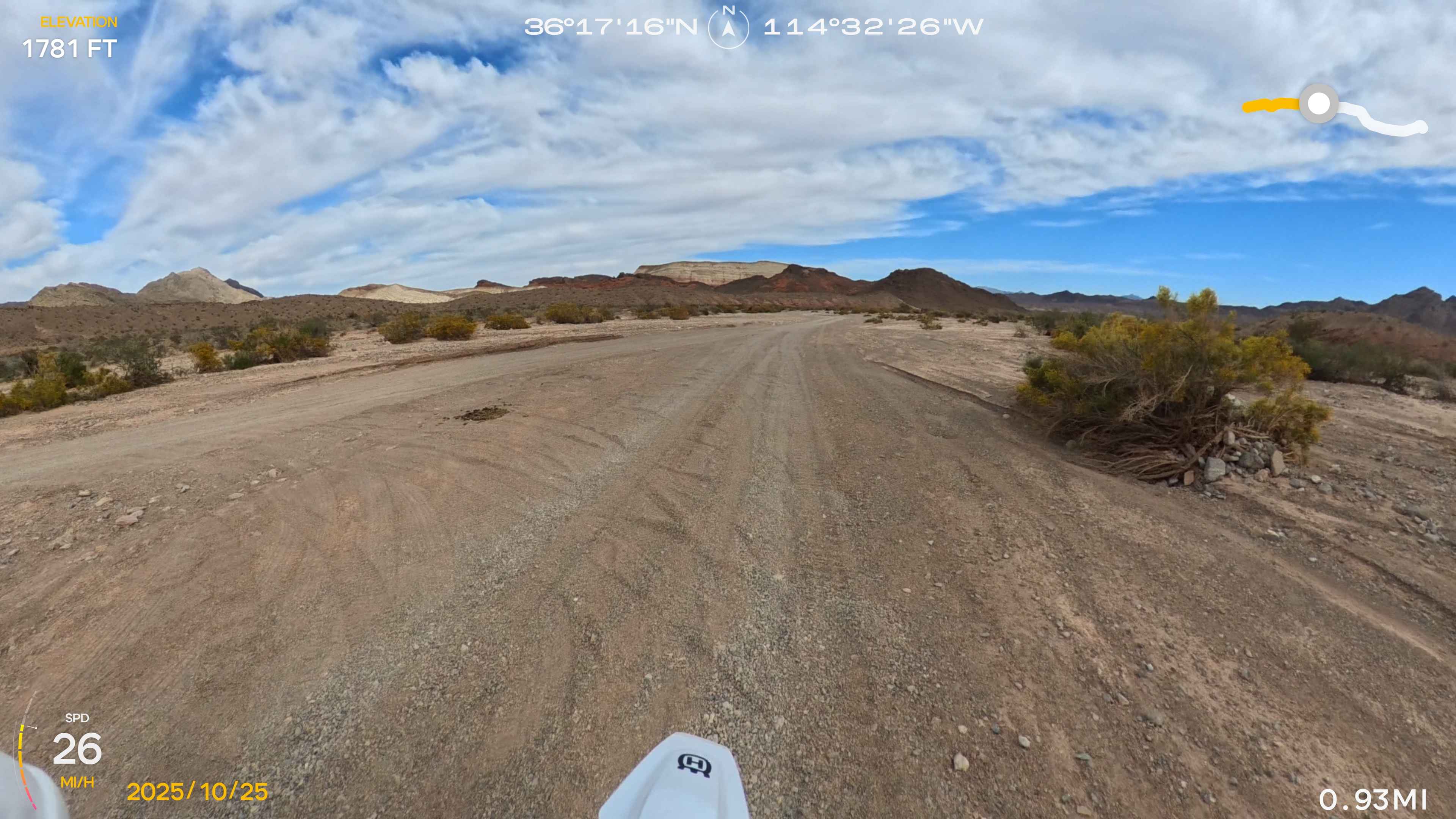
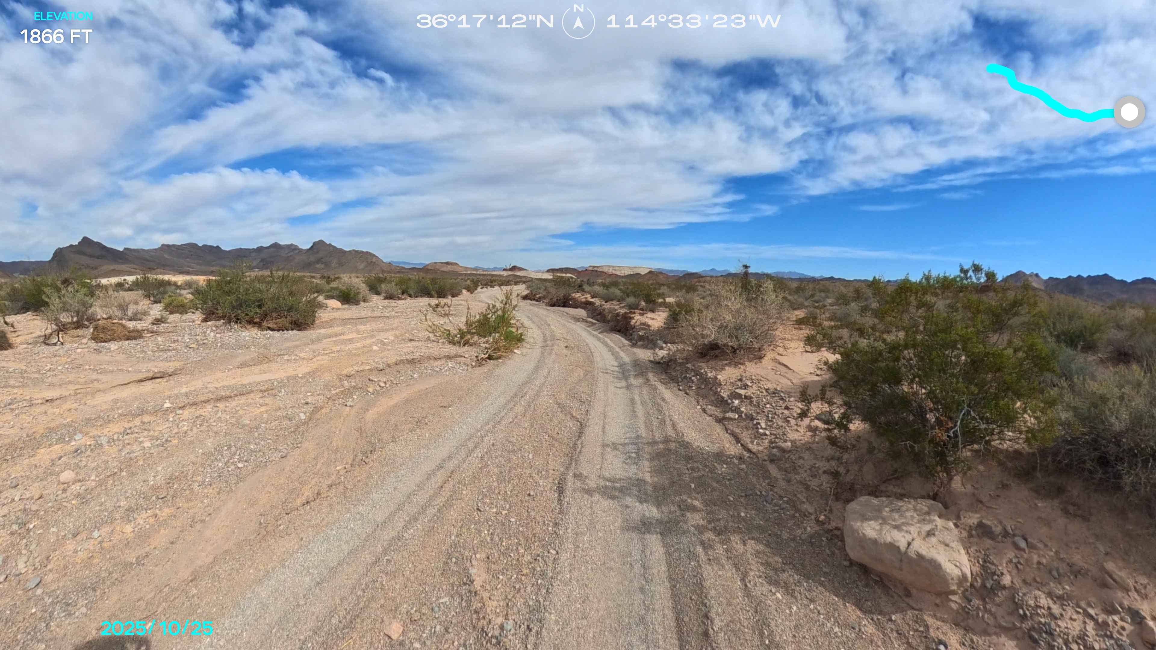
Trail Overview
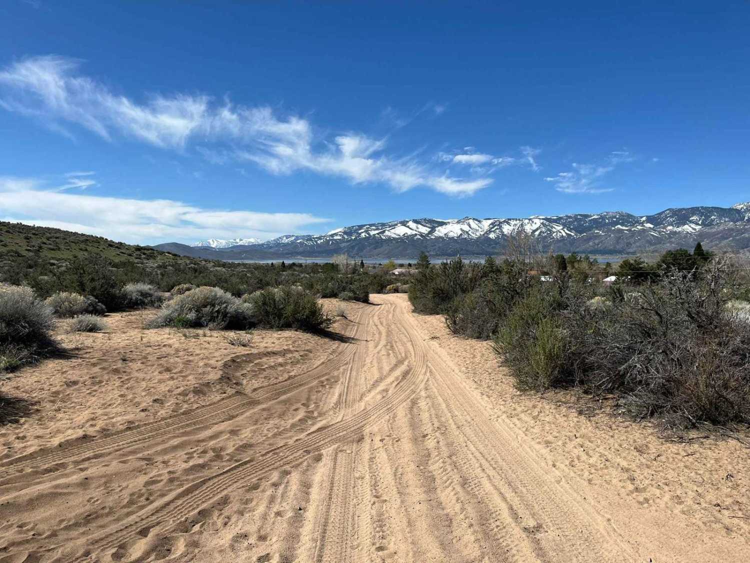
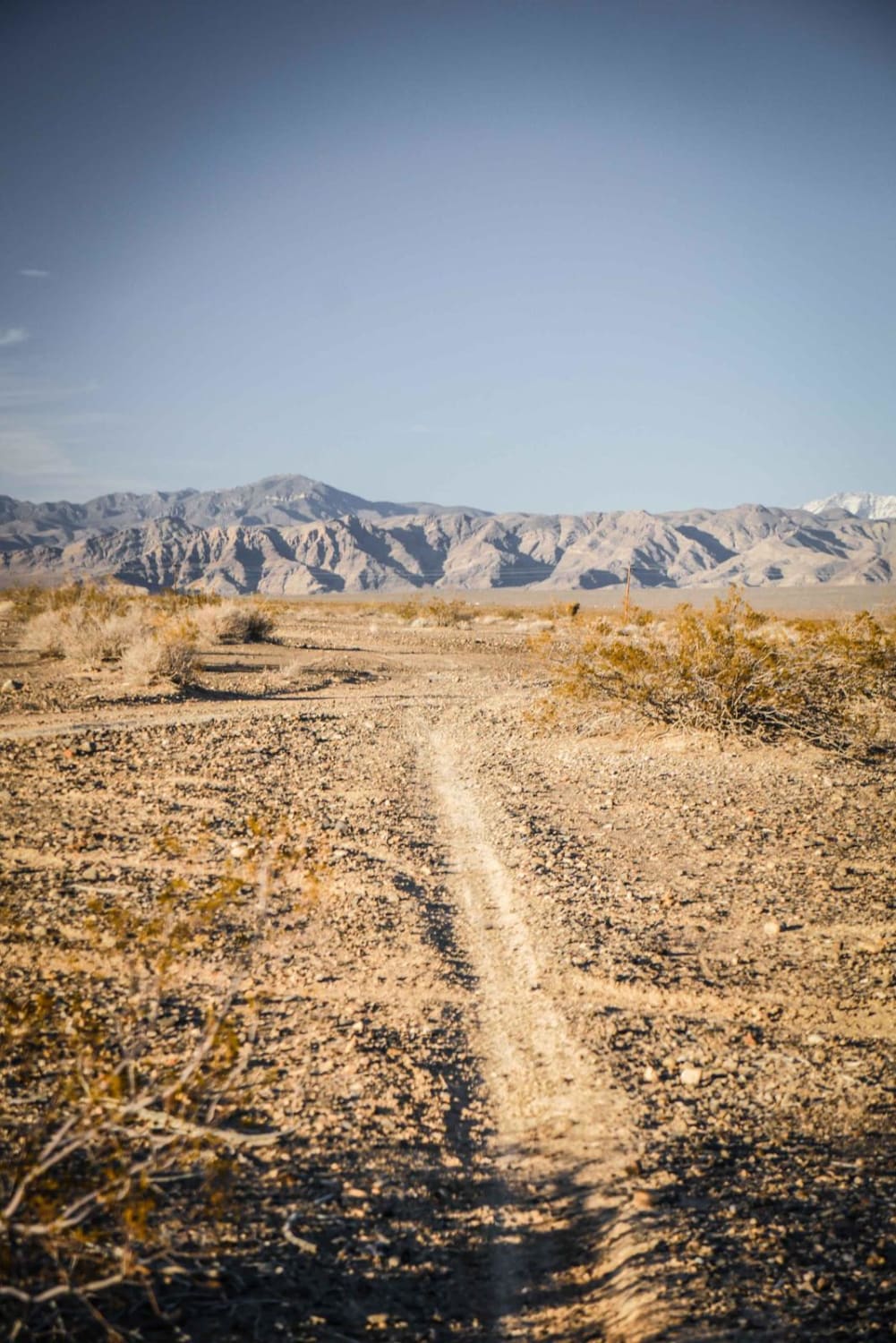
This is an 8.5-mile alternate route on the East side of the Bitter Springs Scenic Byway in White Basin and Bitter Spring Valley. It is a shortcut that begins and ends back on the Bitter Springs Scenic Byway. This is about 2.5 miles shorter than the official Bitter Springs Scenic Byway route. Most of this route is in a wash that can get fairly soft in places, making it a challenge on a motorcycle. It does not have any major obstacles and should be fairly easy in a 4-wheeled vehicle.
Photos of Bitter Springs Alternate
Difficulty
Soft sand sections are a challenge on a motorcycle.
Status Reports
Bitter Springs Alternate can be accessed by the following ride types:
- High-Clearance 4x4
- SUV
- SxS (60")
- ATV (50")
- Dirt Bike
Bitter Springs Alternate Map
Popular Trails
Dry Canyon South - FS 23004
Emigrant Canyon - FS 43222
Front Site Overlook
The onX Offroad Difference
onX Offroad combines trail photos, descriptions, difficulty ratings, width restrictions, seasonality, and more in a user-friendly interface. Available on all devices, with offline access and full compatibility with CarPlay and Android Auto. Discover what you’re missing today!