Bitter Springs
Total Miles
26.2
Technical Rating
Best Time
Spring, Summer, Fall, Winter
Trail Type
Full-Width Road
Accessible By
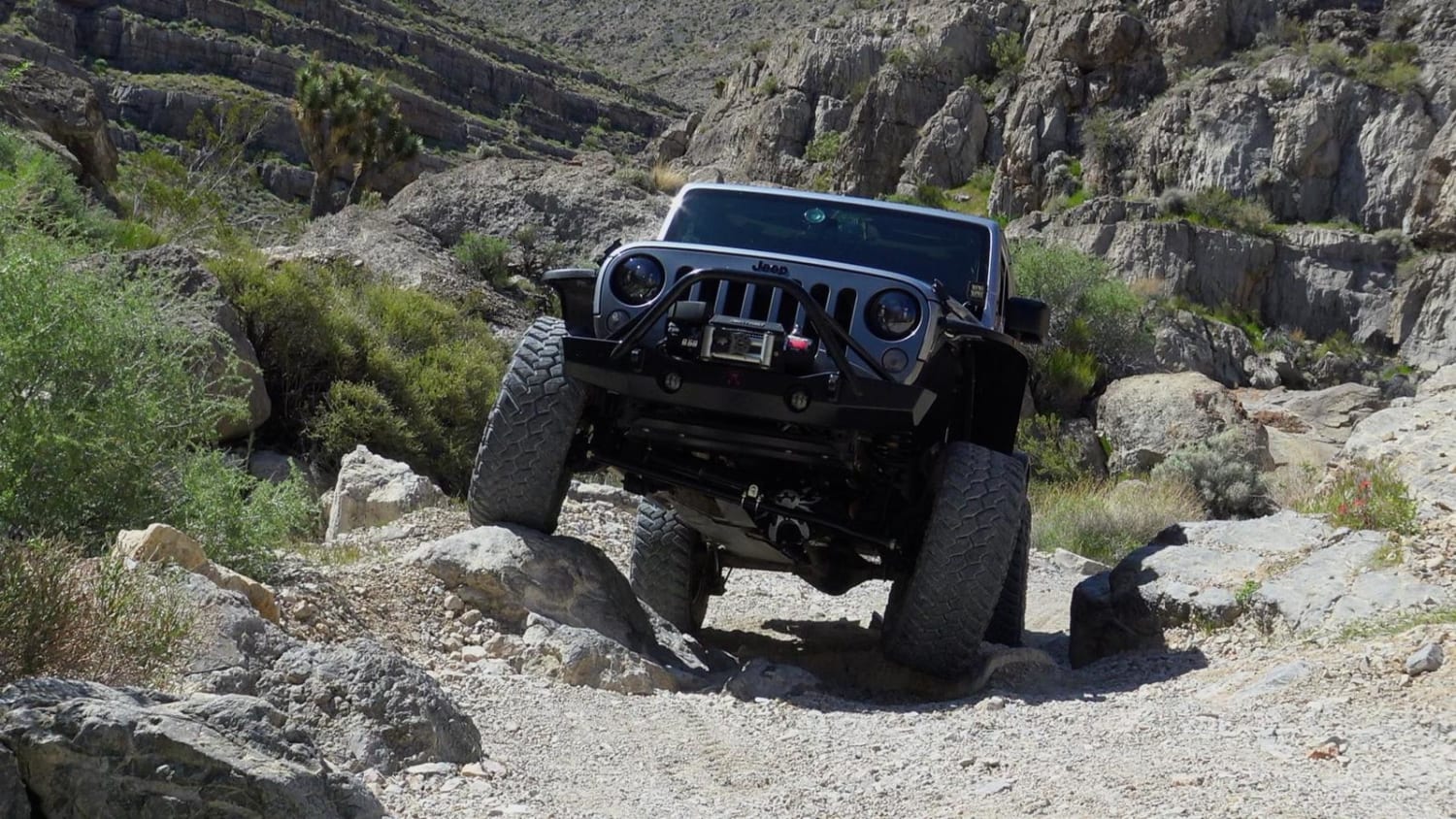
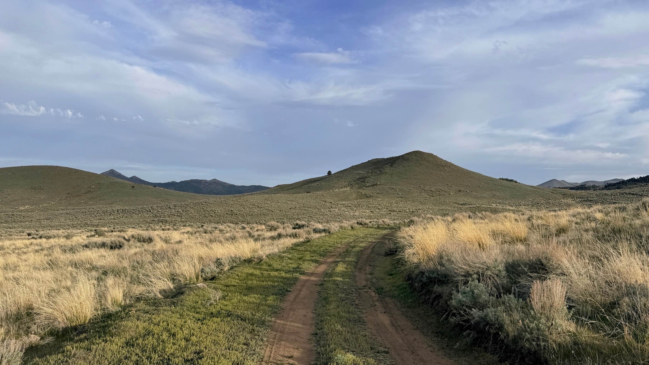
Trail Overview
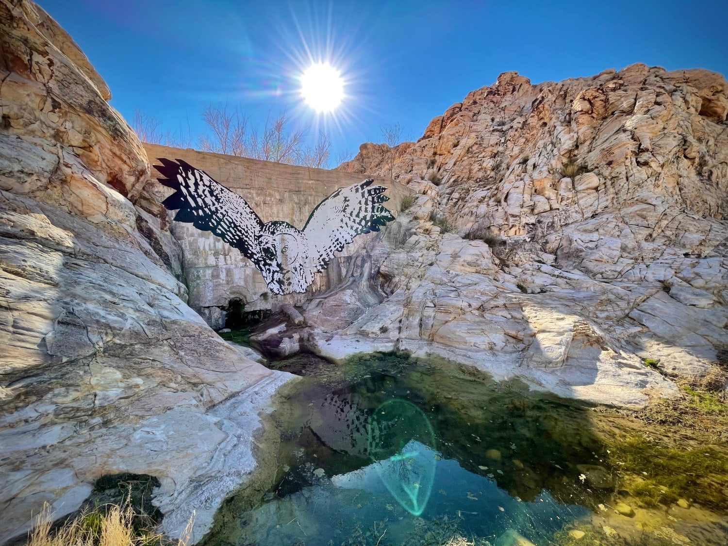
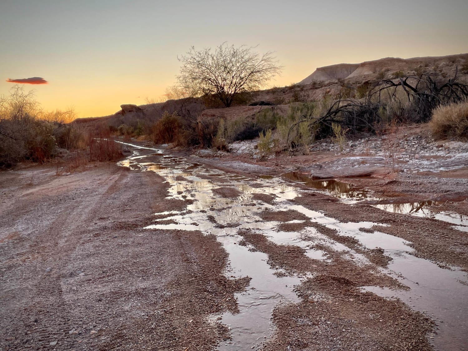
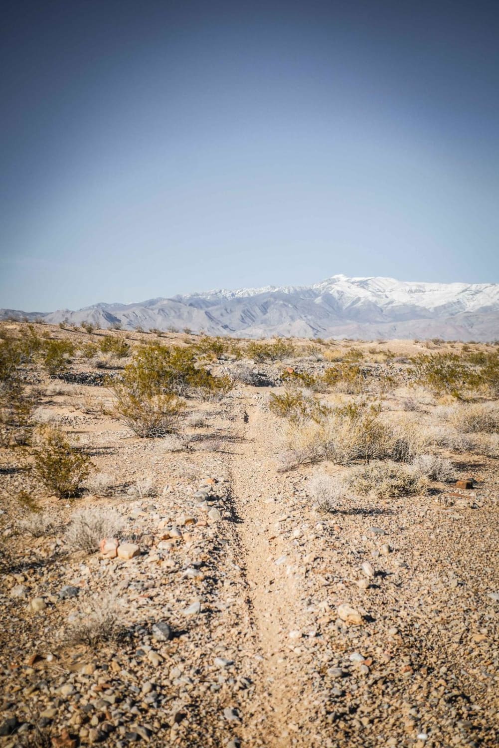
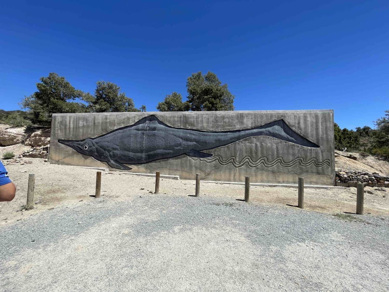
This BLM Backcountry Byway has something for everybody, as well as just about every type of road surface! Not only will you drive through flat desert areas, you'll wind through narrow canyons as well as get some epic vistas across the landscapes. You can make this run in either direction, but most people will start near the Valley of Fire around Moapa, Nevada, and end up inside Lake Mead National Recreational Area. Along the way, you'll see many colorful and photo-worthy rock formations, as well as the Bitter Springs, which, if you are lucky, could be a spot to see some wildlife such as the bighorn sheep, wild burros, or even wild horses. Be sure to stop at the old dam, which you'll see adorned with a large painted owl. It's set back from the road, but there is plenty of parking so you can get out for a closer look. This area is called the Buffington Pockets due to the rock formations. The adventurous can scramble up the right side of the dam (very carefully) and back down into the wash on the backside for some additional hiking opportunities and the opportunity to spot some ancient Native American petroglyphs (please enjoy and take photos only; do not deface!). Plan for 3 hours or so to get from point to point, but you could easily spend much more time exploring and taking pictures. This trail crosses over dry washes and rivers several times, so in those rare periods of rain, be cautious of flash flooding, which could make the road impassable. There are a couple of places where the road splits, so watch for the BLM "Designated Route" markers and arrows indicating the correct direction.
Photos of Bitter Springs
Difficulty
This rugged trail will give you plenty of washboards, some rocky sections with large boulders and ledges, and even a bit of mud around the Bitter Springs. The road transitions often from sand/washboards to rocky sections.
Status Reports
Bitter Springs can be accessed by the following ride types:
- High-Clearance 4x4
- SUV
Bitter Springs Map
Popular Trails
Little Devil Peak
Austin Summit - FS 43233
The onX Offroad Difference
onX Offroad combines trail photos, descriptions, difficulty ratings, width restrictions, seasonality, and more in a user-friendly interface. Available on all devices, with offline access and full compatibility with CarPlay and Android Auto. Discover what you’re missing today!