Pants Butte Road
Total Miles
16.6
Technical Rating
Best Time
Summer
Trail Type
Full-Width Road
Accessible By
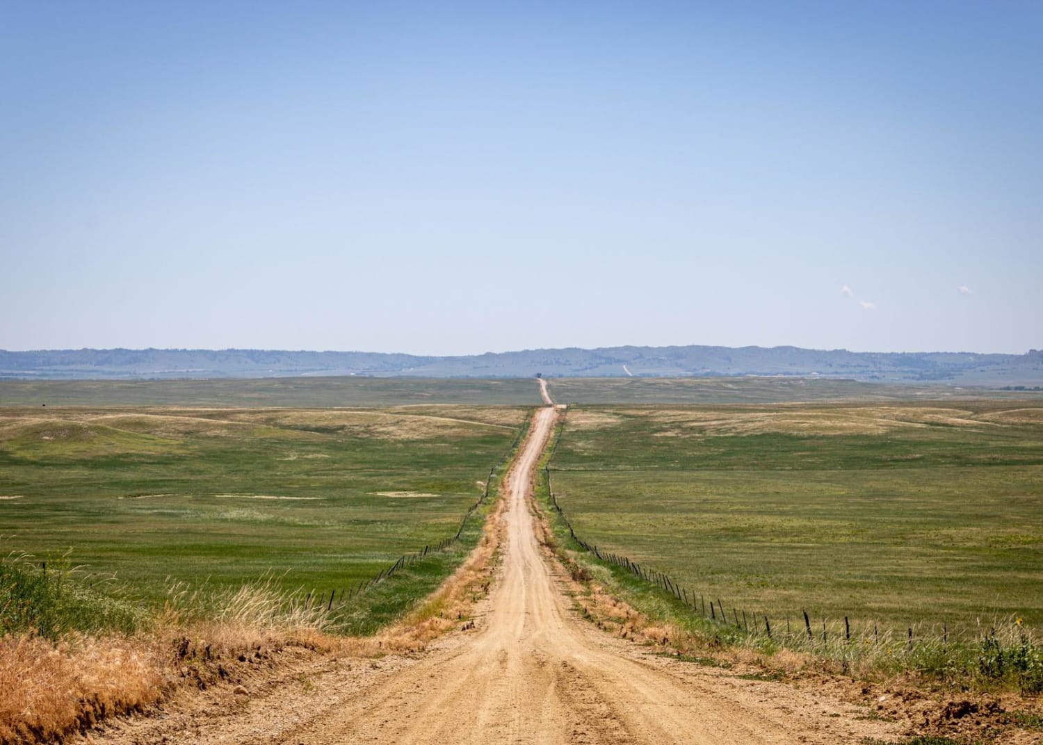
Trail Overview
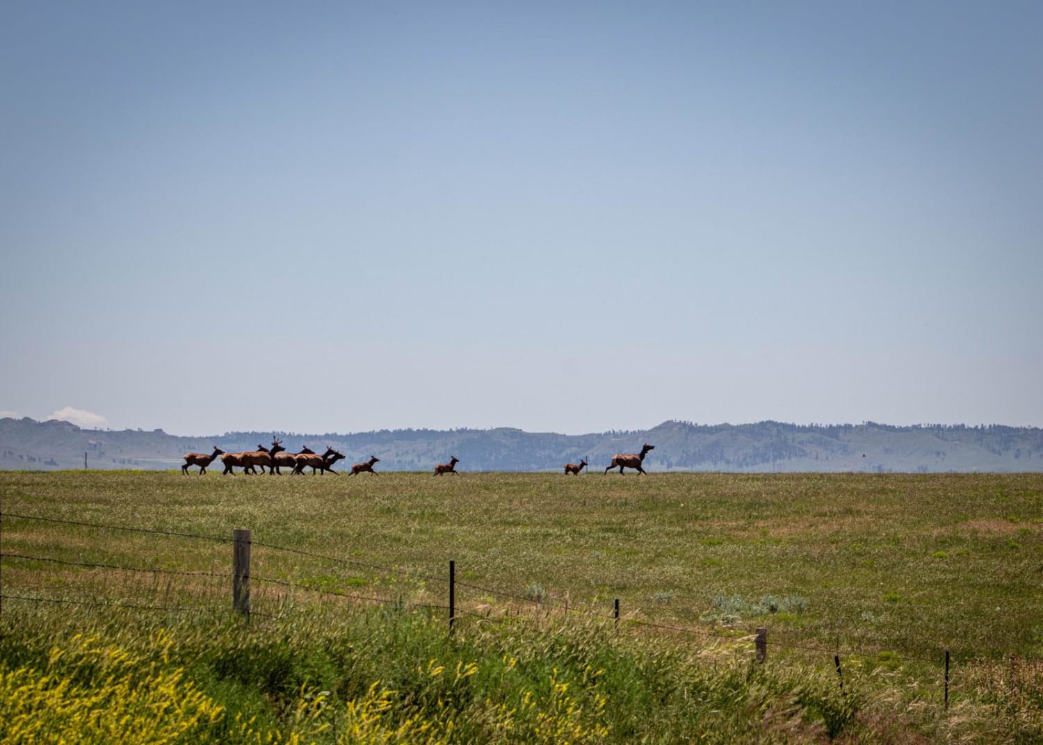
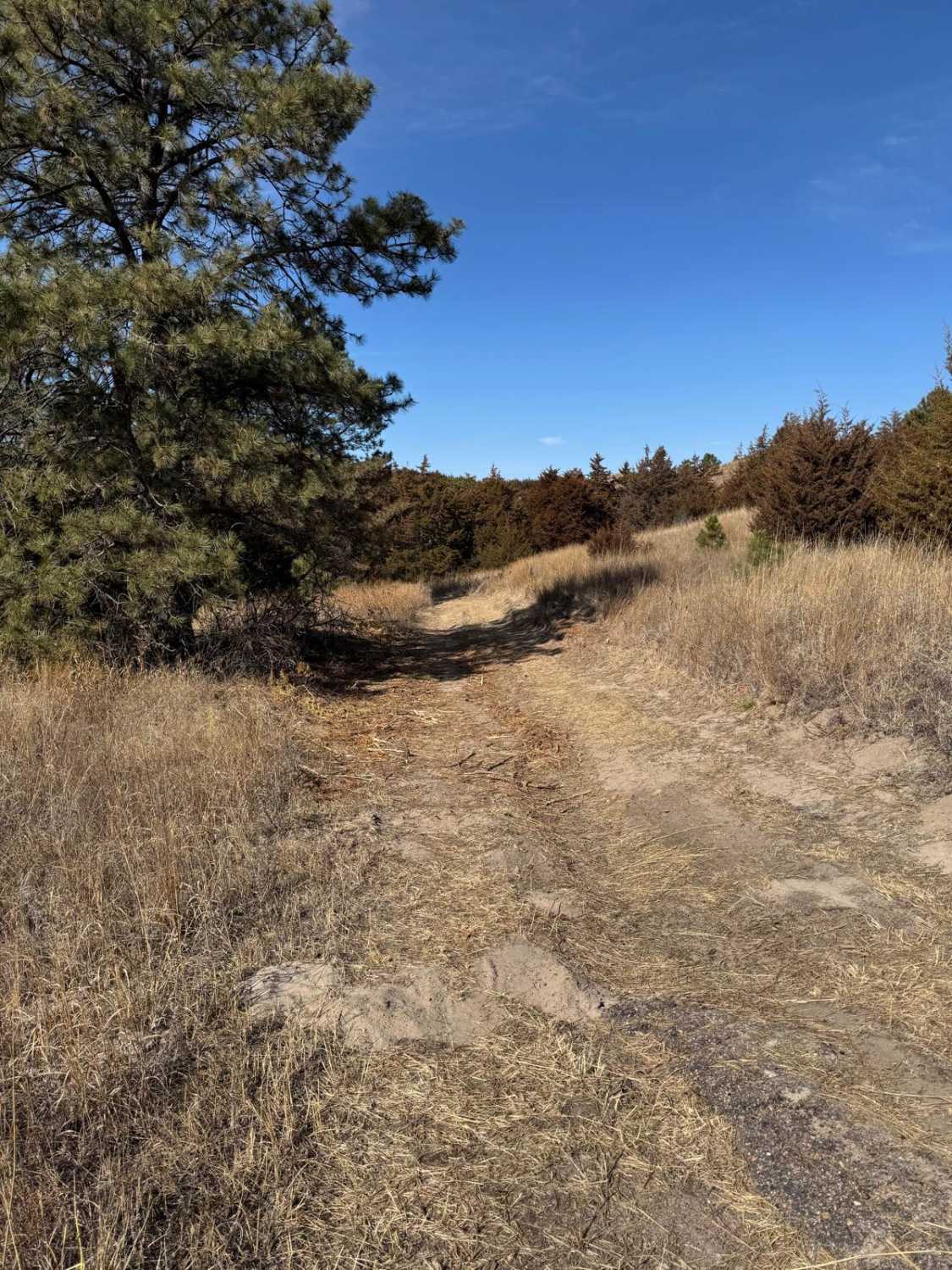
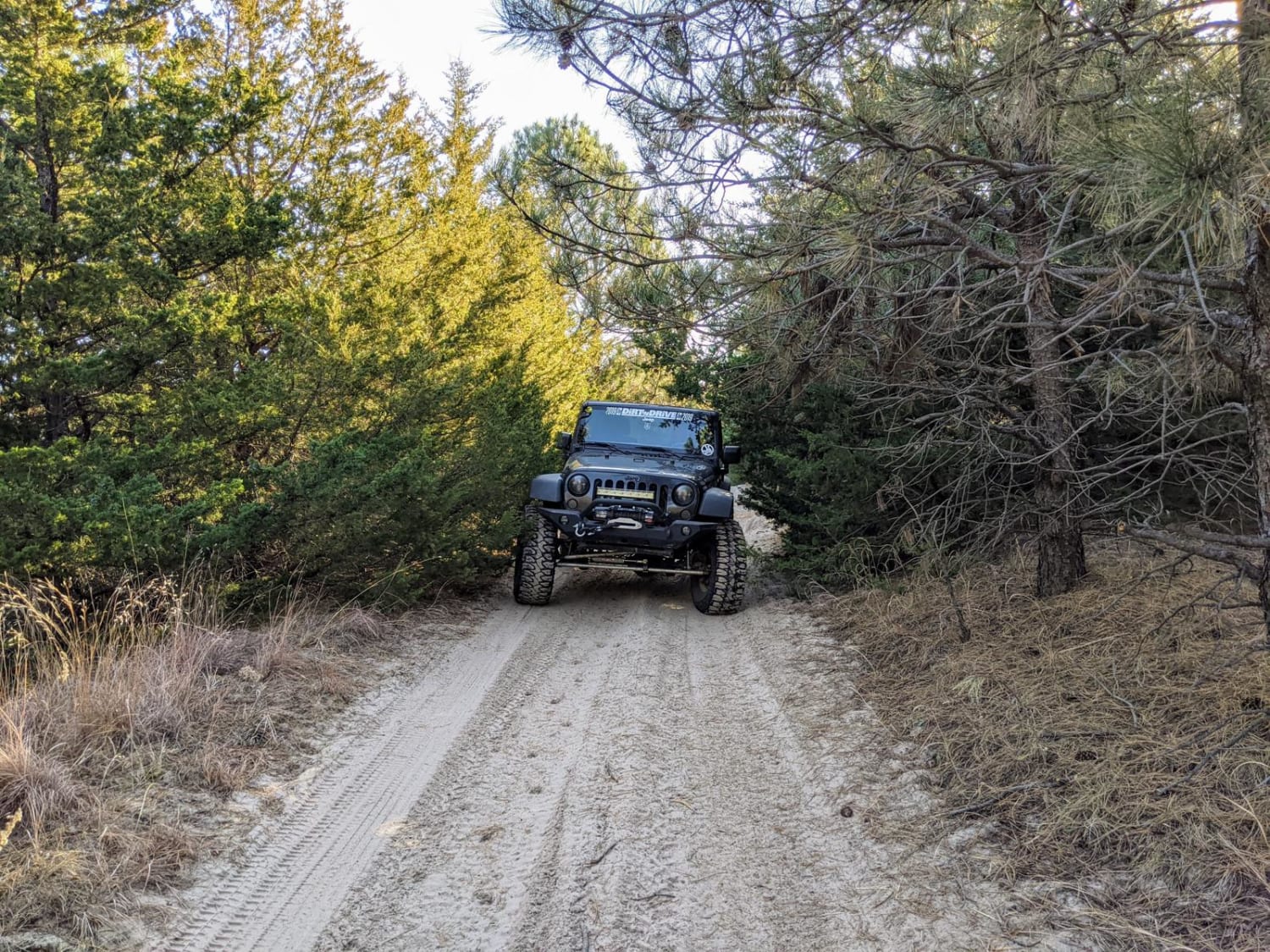
From north to south, Pants Butte Road takes you through part of western Nebraska that makes you feel like you're driving through a painting. At both ends of the road, you're able to see for miles and miles, and the views do not disappoint. The road surface on the north half is mostly graded dirt, eventually giving way to crushed limestone to the south. The road is decently maintained, although the switchbacks going up Pants Butte at the south end might be sloppy in rain or snow. There are mostly large ranches on either side of the road, and you'll see several herds of cattle--but you'll also have the opportunity to see wildlife like pronghorn and elk.
Photos of Pants Butte Road
Difficulty
There's nothing technical on this road. Some of the road surface might require some caution after rain or snow.
Status Reports
Pants Butte Road can be accessed by the following ride types:
- High-Clearance 4x4
- SUV
- SxS (60")
- ATV (50")
- Dirt Bike
Pants Butte Road Map
Popular Trails
Forest Road 211 - Camp 2 Road

Nebraska National Forest
The onX Offroad Difference
onX Offroad combines trail photos, descriptions, difficulty ratings, width restrictions, seasonality, and more in a user-friendly interface. Available on all devices, with offline access and full compatibility with CarPlay and Android Auto. Discover what you’re missing today!