Monture Creek
Total Miles
3.2
Technical Rating
Best Time
Summer, Fall
Trail Type
Full-Width Road
Accessible By
Trail Overview
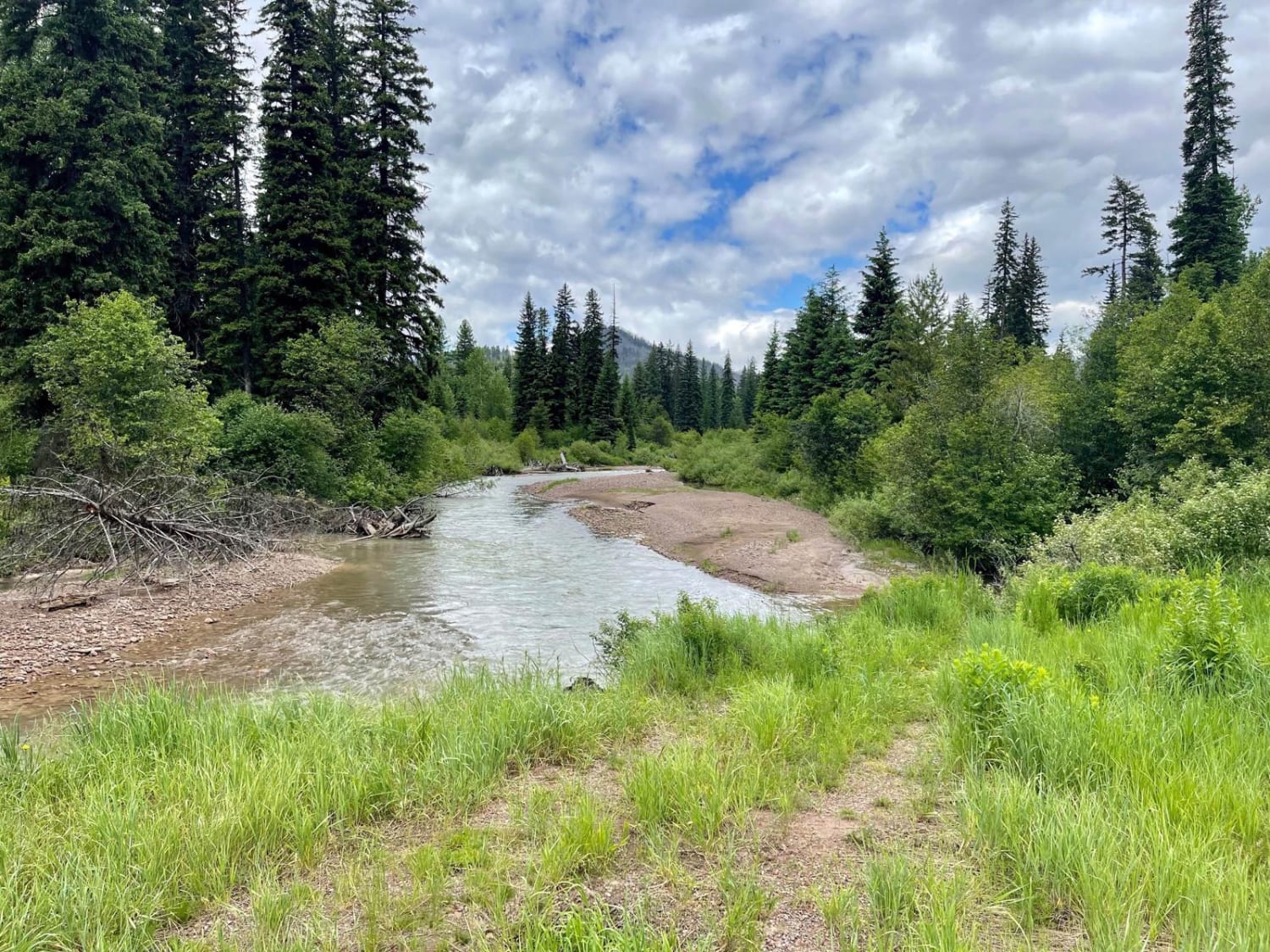
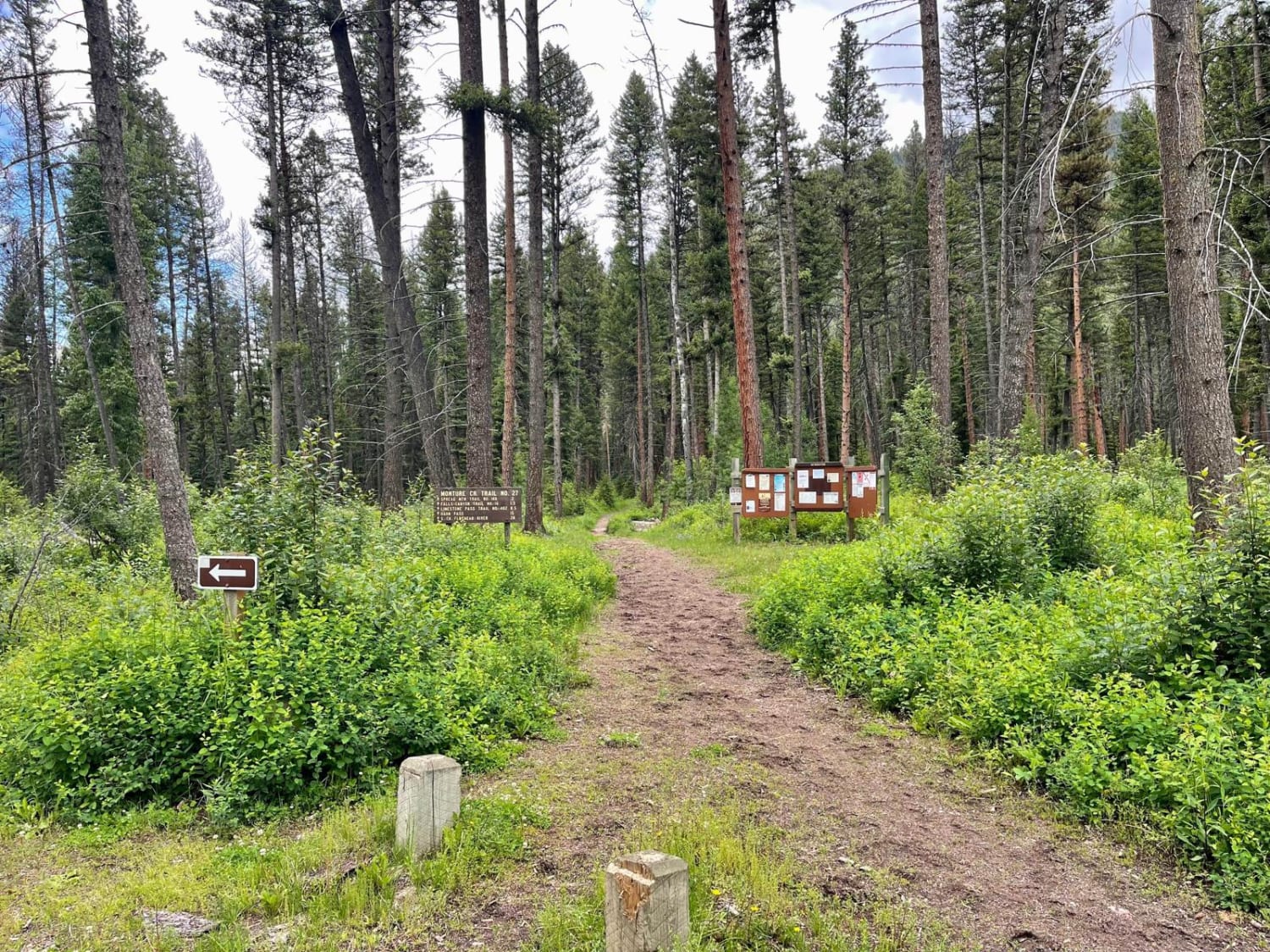
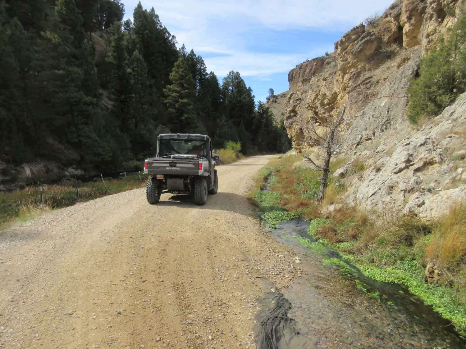
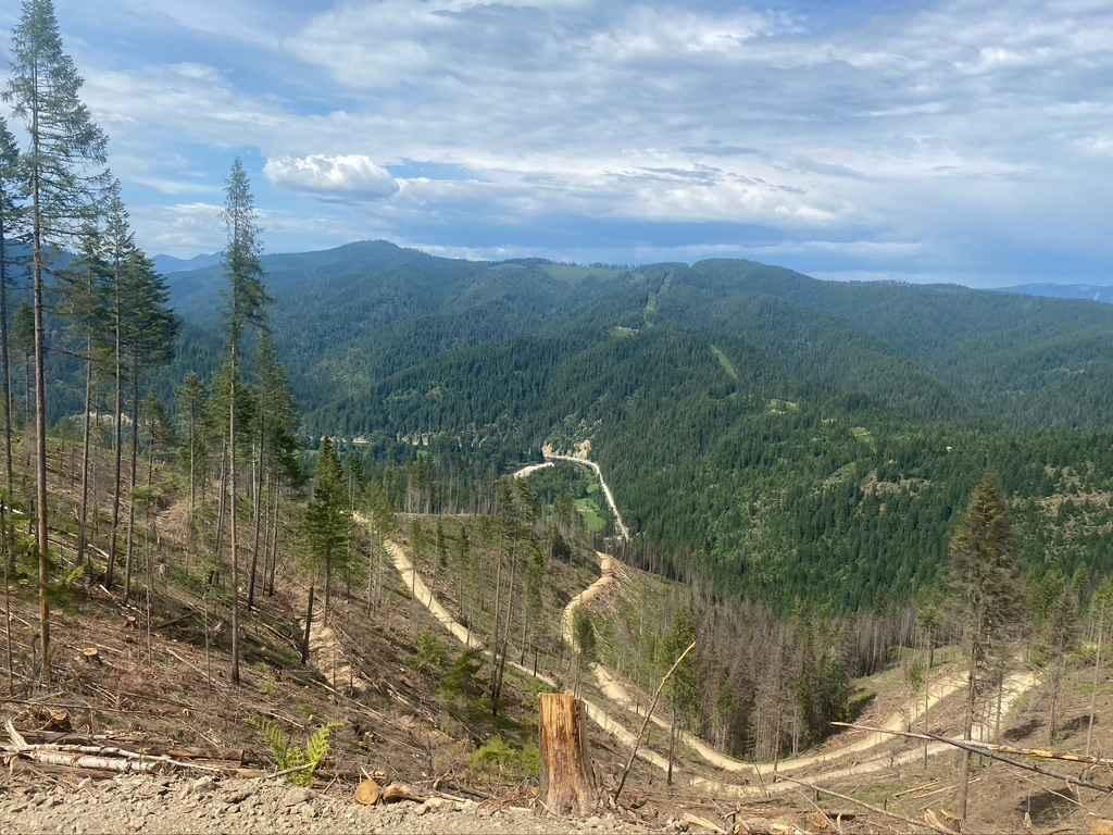
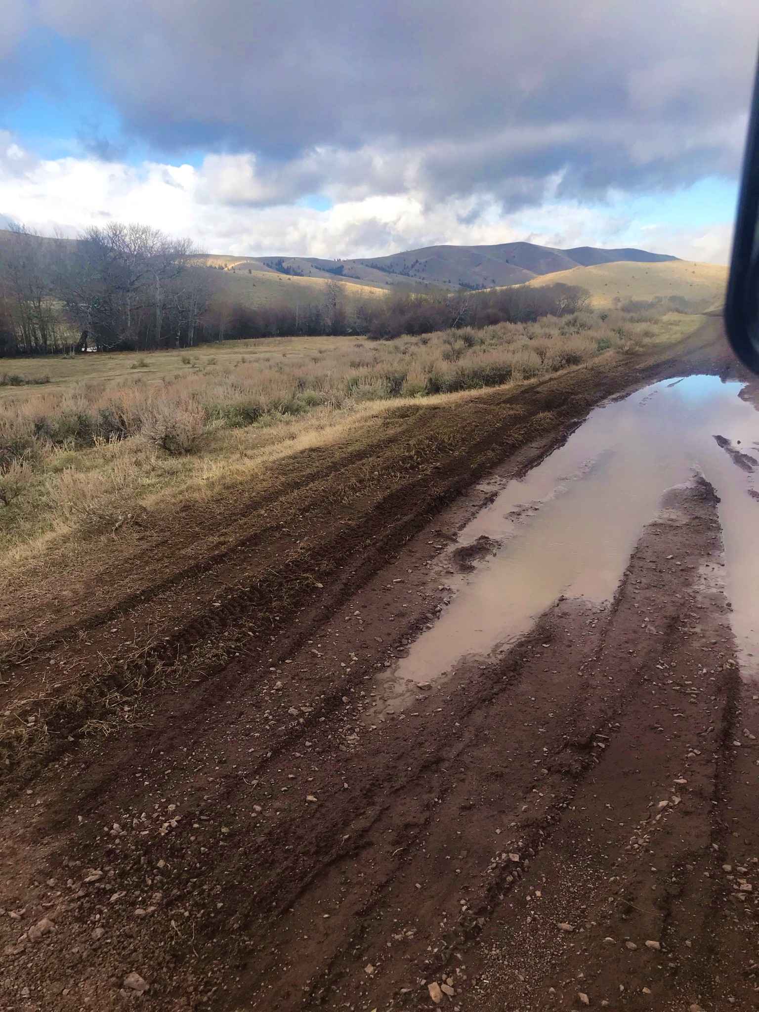
This well-traveled trail leads back into the main valley and to the Monture Trailhead and campgrounds. It's a beautiful drive just be sure to watch for cyclists as it appears to be a major cycling access route. The Monture trailhead is also a very popular equestrian trail area. A public corral, unloading ramps, and plenty of horse-trailer parking are at the end of the driving trail. Massive old trees line this driving trail, and there are lots of potholes from heavy use. If one prefers a more rugged camping experience without pit toilets, one will notice a few dispersed camping spots along the main trail. No Verizon cell service. Rate it A 1.
Photos of Monture Creek
Difficulty
There is plenty of room to pass oncoming traffic.
Status Reports
Monture Creek can be accessed by the following ride types:
- High-Clearance 4x4
- SUV
- SxS (60")
- ATV (50")
- Dirt Bike
Monture Creek Map
Popular Trails
Warm Springs Creek Road (FA 163)/Cow Camp Road (FS 1234)
620 Character Ridge Road

Moose Creek/Old Mine
Gravelly Lake
The onX Offroad Difference
onX Offroad combines trail photos, descriptions, difficulty ratings, width restrictions, seasonality, and more in a user-friendly interface. Available on all devices, with offline access and full compatibility with CarPlay and Android Auto. Discover what you’re missing today!