Lemonade Road Part 1
Total Miles
7.3
Technical Rating
Best Time
Spring, Summer, Fall
Trail Type
Full-Width Road
Accessible By
Trail Overview
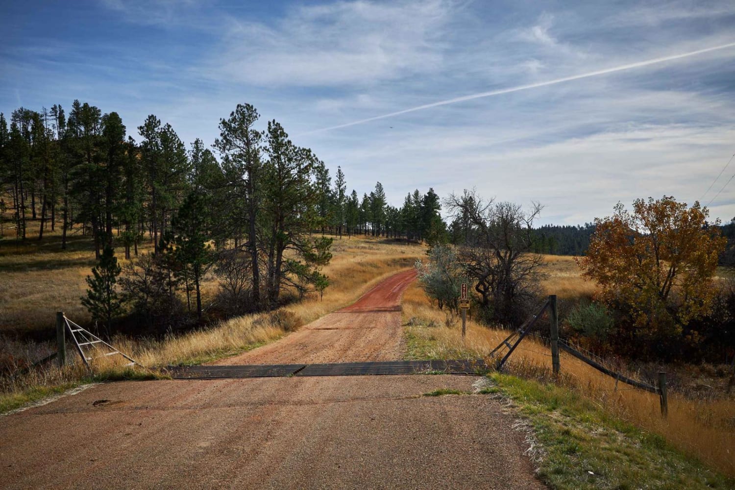
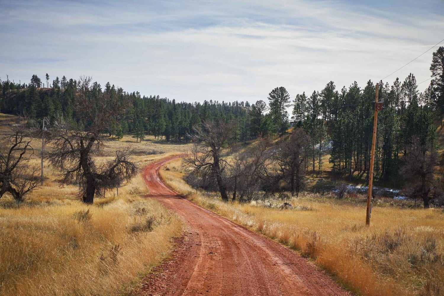
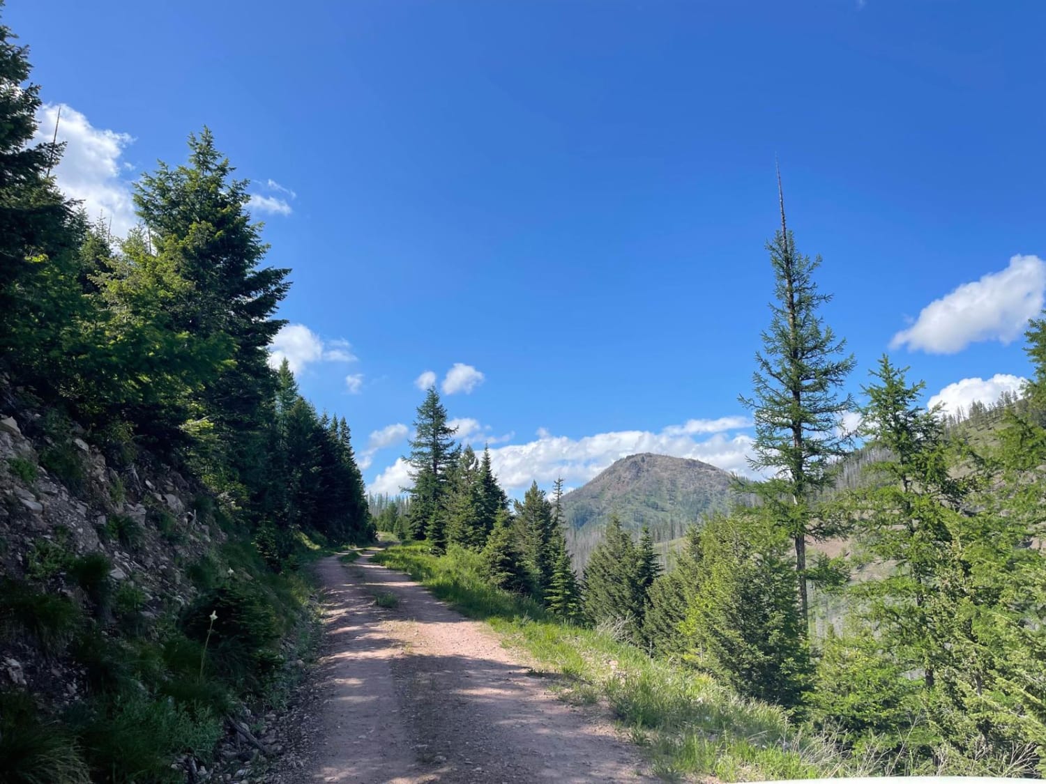
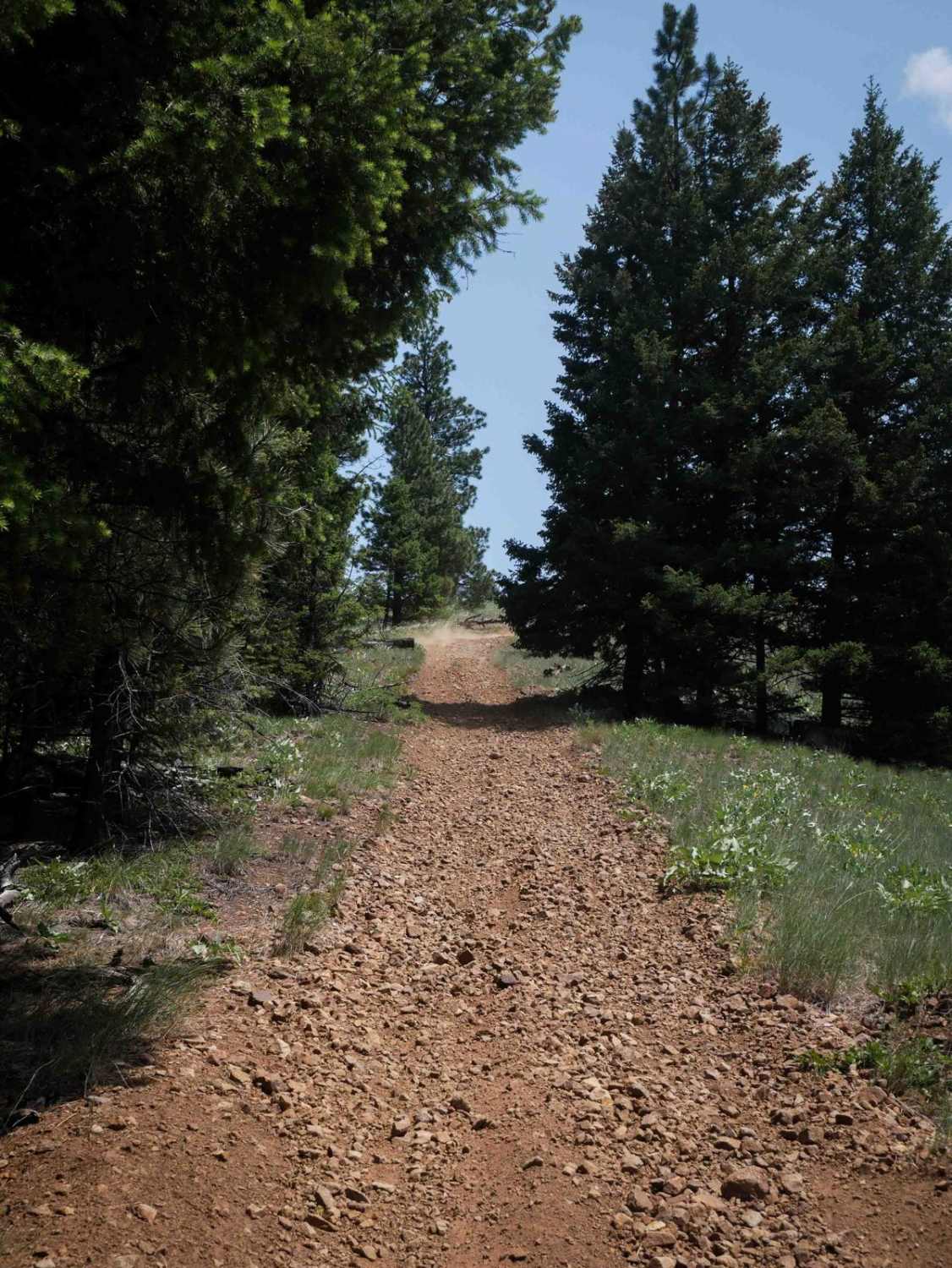
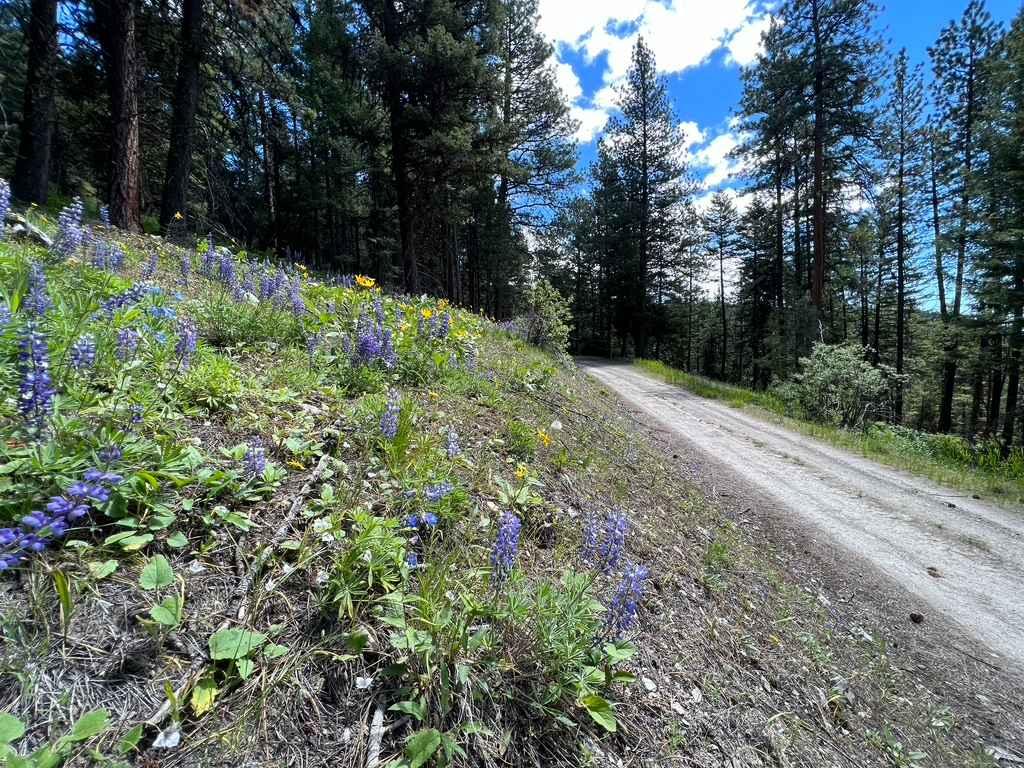
Lemonade Road is a red dirt road that winds and weaves its way up, over, around, and through a section of the Custer National Forest. There are no obstacles on this single-lane wide road, and on your journey, you might see Mule Deer and other wildlife. The views of the Buttes and meadows are gorgeous on this road.
Photos of Lemonade Road Part 1
Difficulty
Dirt or rocky road with gentle grades.
Status Reports
Lemonade Road Part 1 can be accessed by the following ride types:
- High-Clearance 4x4
- SUV
- SxS (60")
- ATV (50")
- Dirt Bike
Lemonade Road Part 1 Map
Popular Trails
Trail #185 (Part 1)
Stony Creek 2178

Huckleberry Sale
The onX Offroad Difference
onX Offroad combines trail photos, descriptions, difficulty ratings, width restrictions, seasonality, and more in a user-friendly interface. Available on all devices, with offline access and full compatibility with CarPlay and Android Auto. Discover what you’re missing today!