Gash Creek Singletrack
Total Miles
1.0
Technical Rating
Best Time
Summer, Fall
Trail Type
Single Track
Accessible By
Trail Overview
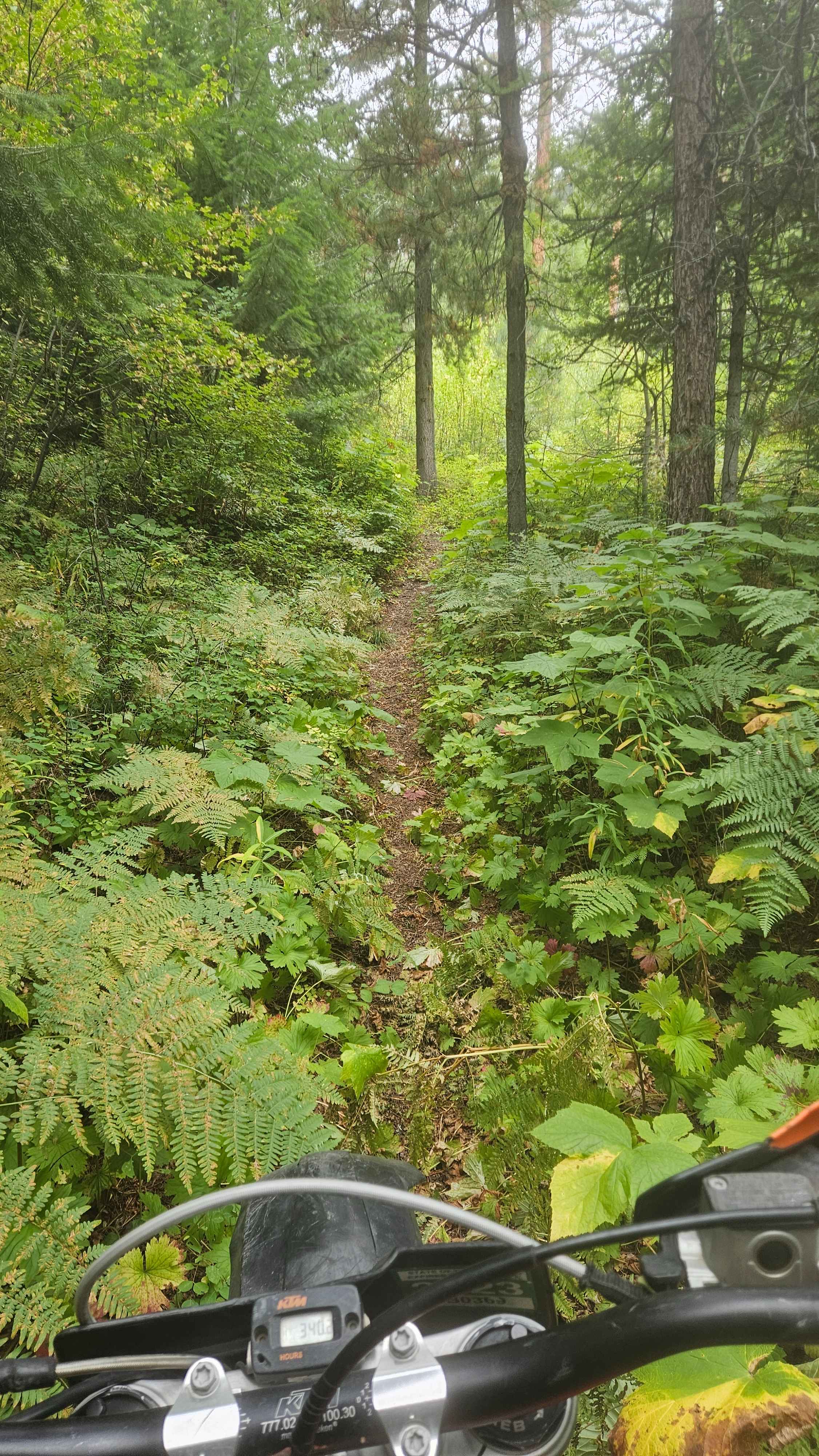
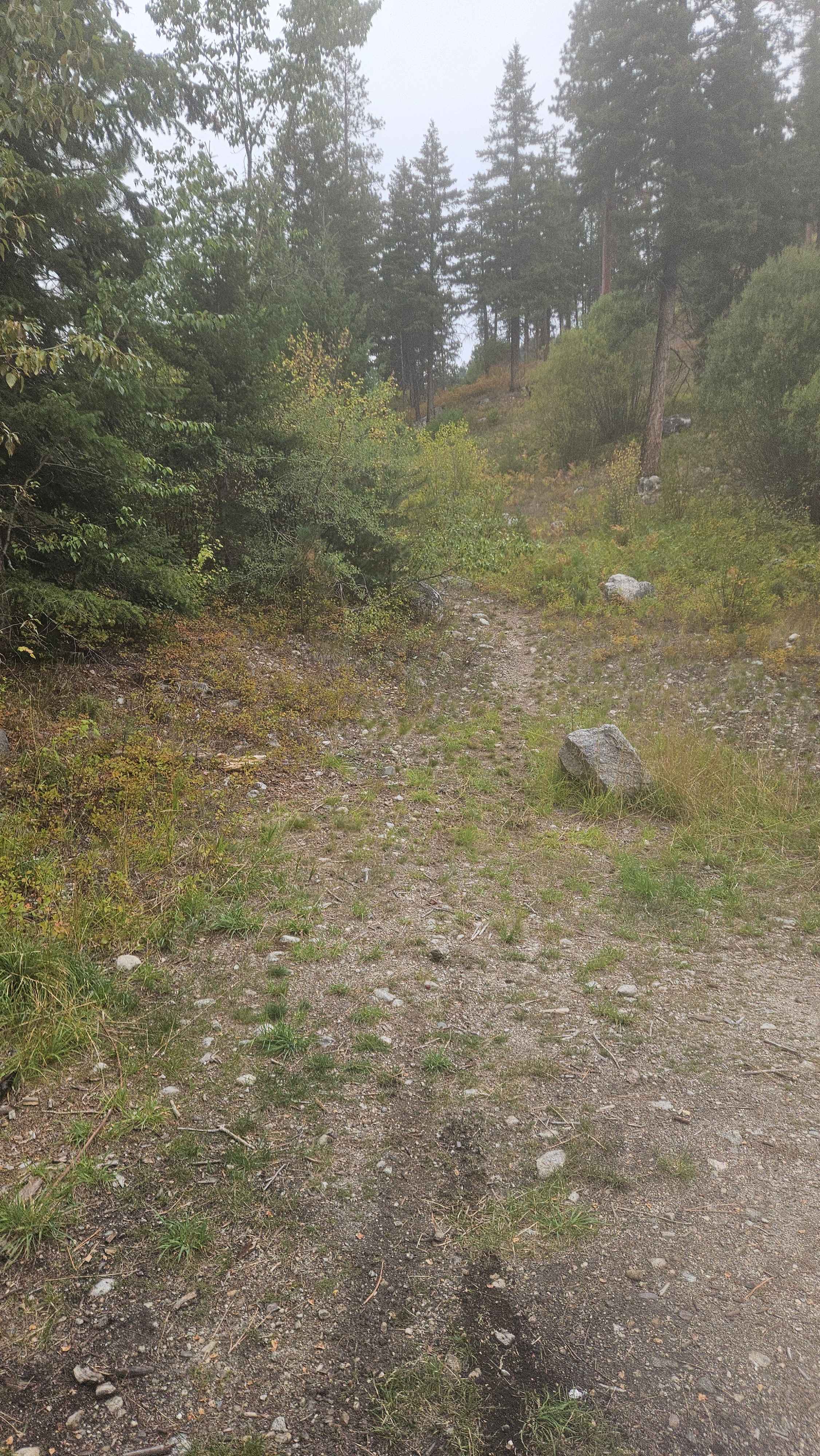
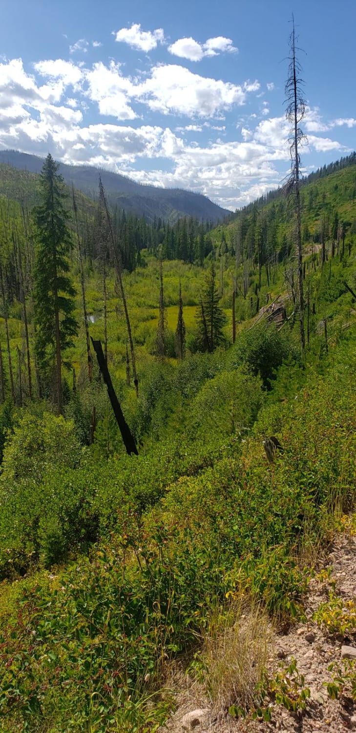
The trail starts right off the Forest Service road. The first half of the trail is smooth, flowy, simple - an easy 3. After the halfway point, the trail starts to climb north. If you try to follow it south, you will get stuck and have a very difficult time getting back out. This is the point where the trail starts to get significantly more technical. It starts climbing out of the canyon, and the terrain is very loose and rocky. The trail can be quite overgrown in spots, and there is some deadfall. You can continue through and rejoin the main Forest Service road at the top of the trail. Overall, this is a nice spot to hit while out exploring the main road.
Photos of Gash Creek Singletrack
Difficulty
The first half of the trail is very easy, but after the halfway point, you start to climb out of the canyon, and this is where it starts to get technical. Loose, rocky soil and steep climbs with some rock ledges. It is easy to turn around at the halfway point if the climb out looks too daunting.
Status Reports
Gash Creek Singletrack can be accessed by the following ride types:
- Dirt Bike
Gash Creek Singletrack Map
Popular Trails

Jewel Basin Road
Albert Lothrop Rd 5563
Reanus Cone Trail Part 2
The onX Offroad Difference
onX Offroad combines trail photos, descriptions, difficulty ratings, width restrictions, seasonality, and more in a user-friendly interface. Available on all devices, with offline access and full compatibility with CarPlay and Android Auto. Discover what you’re missing today!