Darby Trails Loop 1
Total Miles
27.9
Technical Rating
Best Time
Summer, Fall
Trail Type
50" Trail
Accessible By
Trail Overview
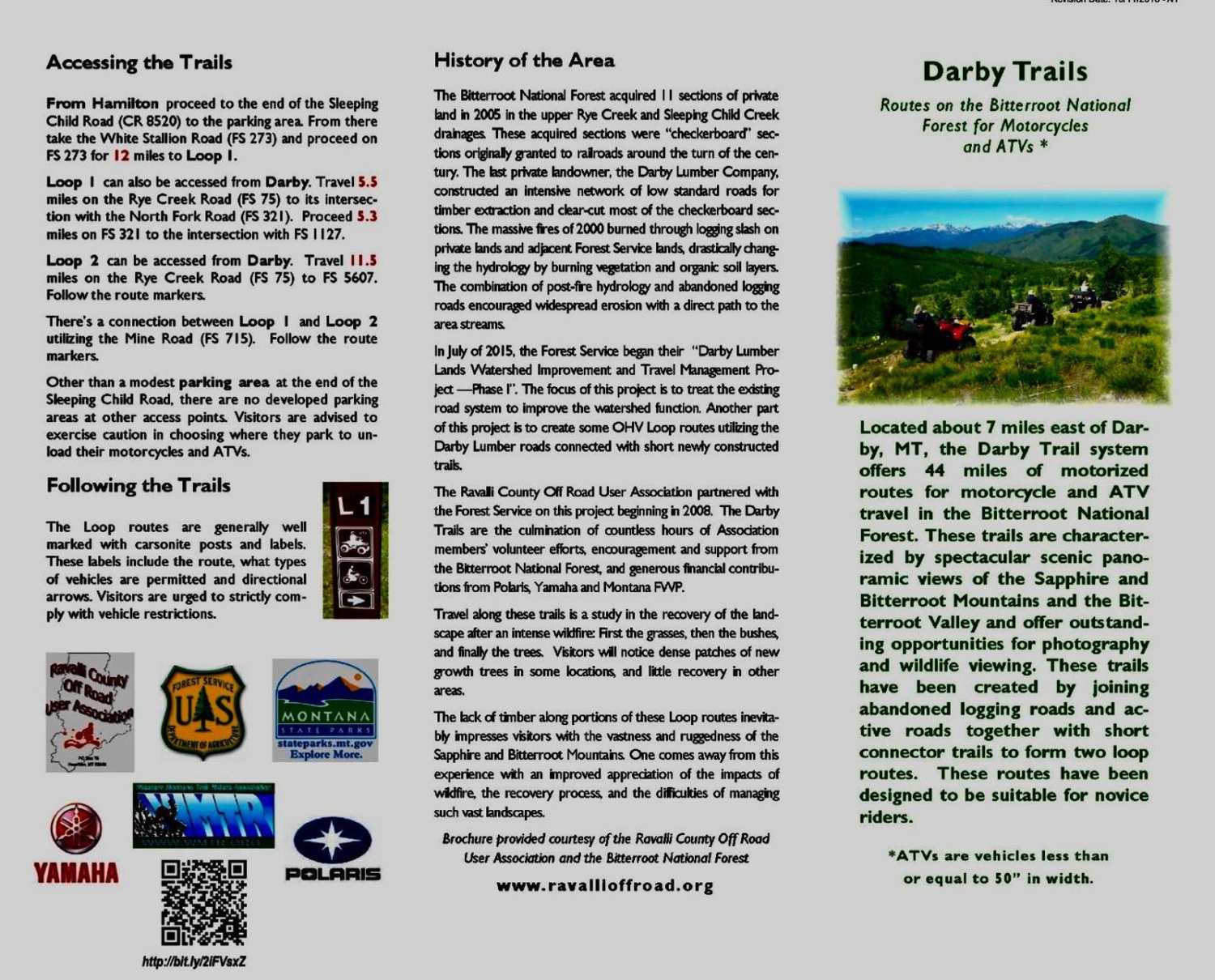
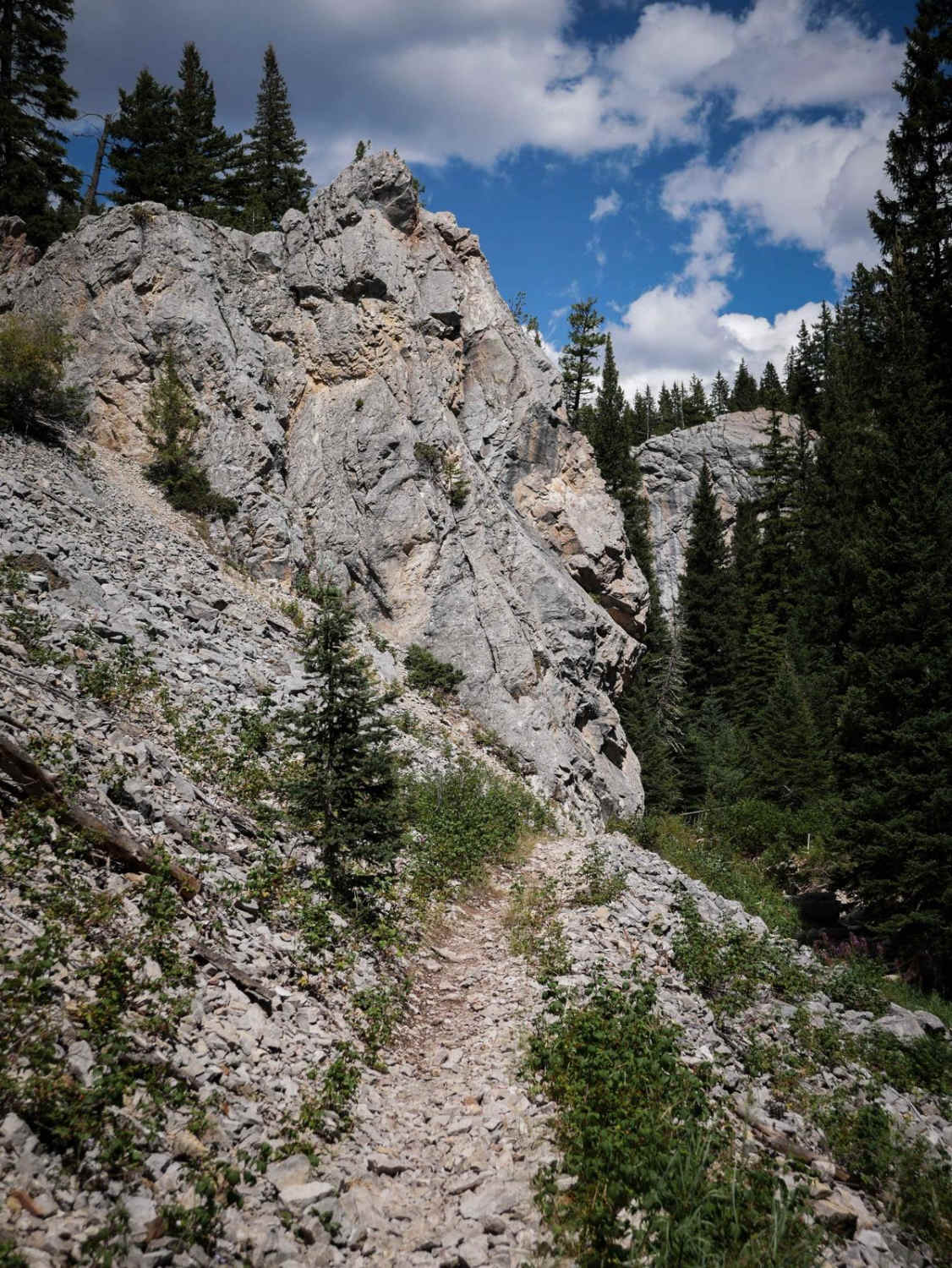
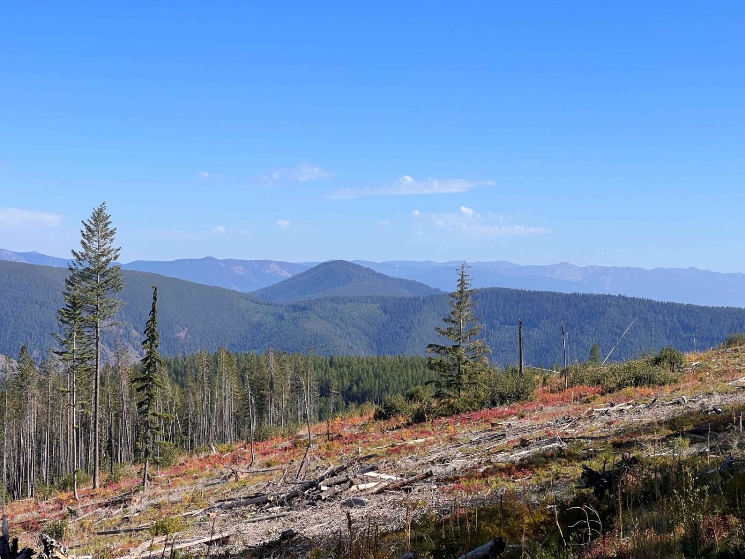
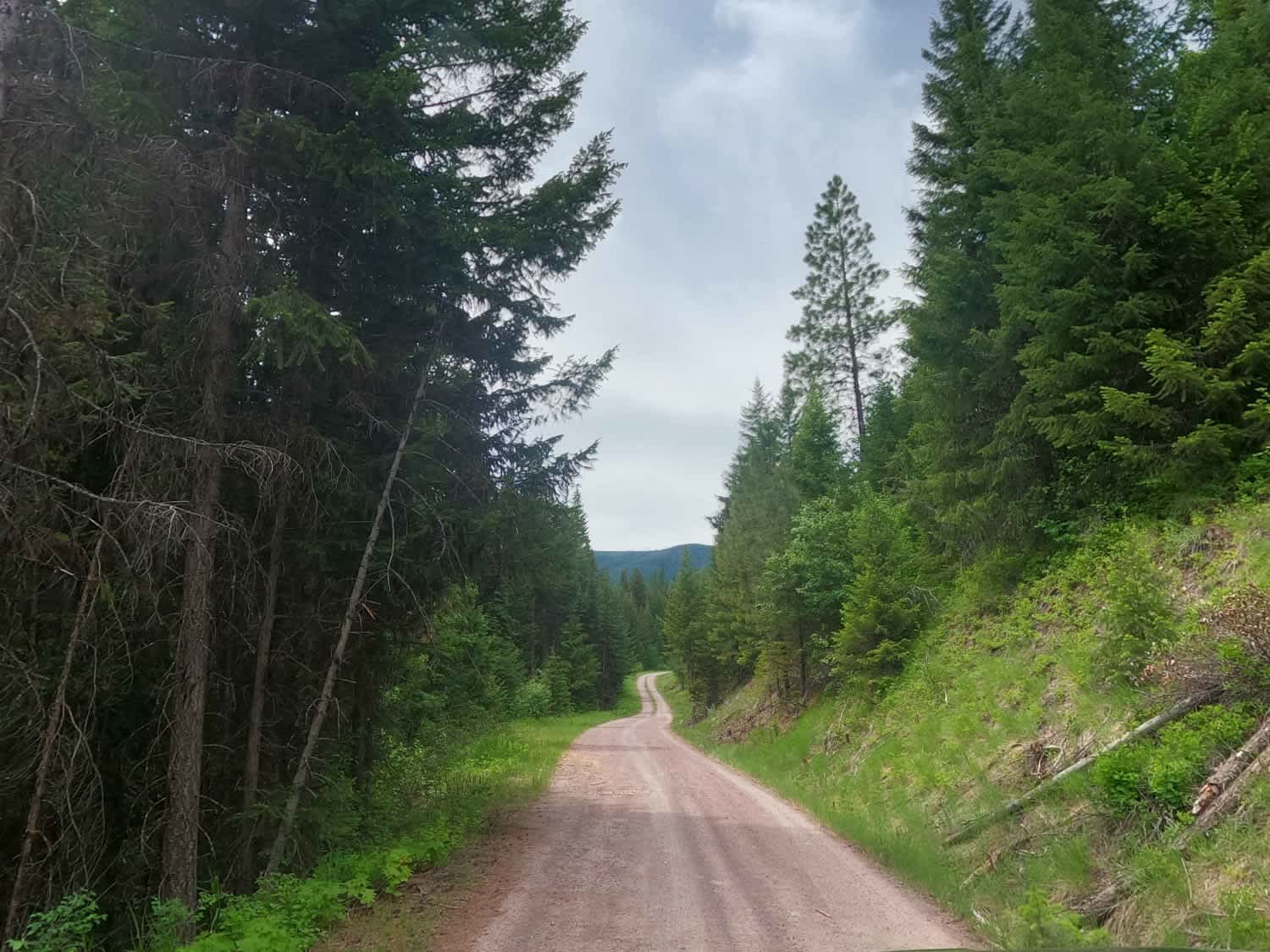
Loop 1 consists of a series of roads connected by newly constructed trails arranged to complete a 27-mile route for 50" ATVs and Dirt Bikes. Many of the roads incorporated into this loop are old abandoned logging roads that have been converted into ATV trails. The first photo attached to this description is a map of two of the Darby Trails, and the second photo is a copy of the tri-fold brochure describing the Darby Trails and how they were designed and constructed. Loop 1 passes through a portion of the Bitterroot National Forest that was severely burned during the wildfires of the year 2000. Today, a trip on Loop 1 is a snapshot of the recovery process after a severe wildfire. The mixture of deciduous trees and bushes mixed with new-growth conifers has a striking visual impact and offers an ideal habitat for many species of wildlife. South-facing slopes and ridges offer panoramic views of the mountains and the recovering forest. The trail passes through a surprising variety of terrain from dense stands of conifer and deciduous vegetation to wide open areas where recovery has been slow. This is a very pleasant ride, suitable for novice riders and family groups.
Photos of Darby Trails Loop 1

Difficulty
Most of this route offers a stable tread and modest grades. There are, however, a few narrow, windy, and steeper spots that offer a little challenge for less experienced riders.
History
The Darby Trails were designed and constructed by the Ravalli County Off-Road User Association, with the assistance of Forest Service specialists. Funding was supplied by grants from the Yamaha and Polaris corporations as well as Montana State grants. Construction of Loops 1 and 2 were completed in 2016.
Status Reports
Darby Trails Loop 1 can be accessed by the following ride types:
- ATV (50")
- Dirt Bike
Darby Trails Loop 1 Map
Popular Trails
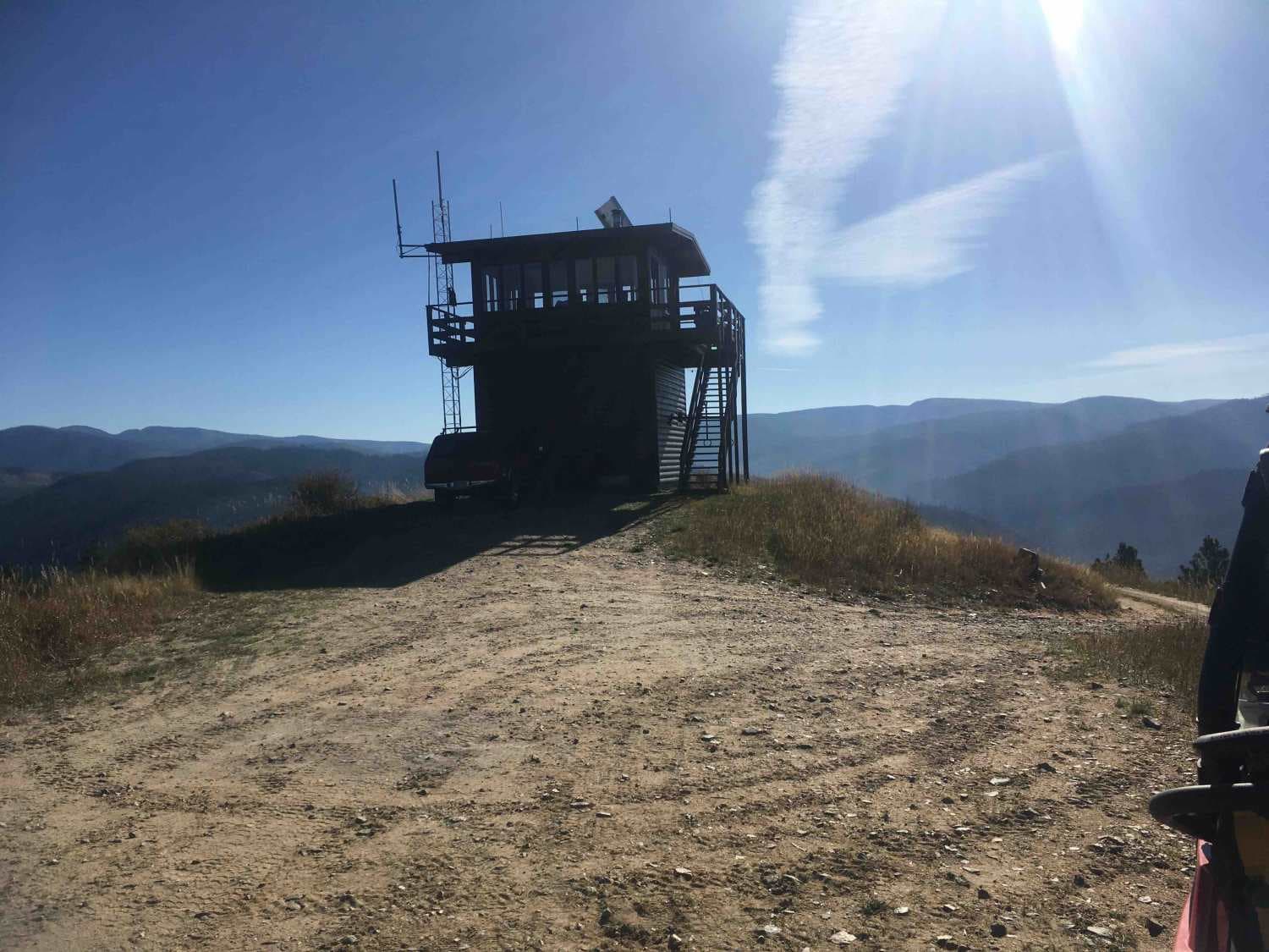
Tepee Point Lookout
Lone Cliff Cutover
West Fork Petty Creek Road 22
The onX Offroad Difference
onX Offroad combines trail photos, descriptions, difficulty ratings, width restrictions, seasonality, and more in a user-friendly interface. Available on all devices, with offline access and full compatibility with CarPlay and Android Auto. Discover what you’re missing today!